Plizio Visual Lab
Tambaoura Escarpment

Weather…
Water temperature…
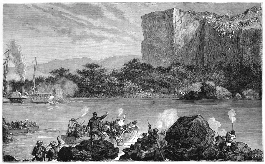
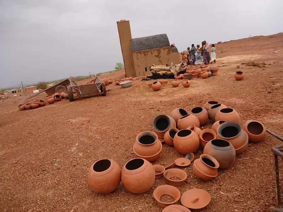
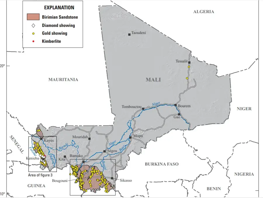
The Tambaoura Escarpment is a prominent sandstone ridge located in the Kayes region of western Mali, forming a natural boundary for the Bambouk gold fields. This geological feature extends for approximately 100 kilometers and is characterized by steep cliffs that rise sharply from the surrounding plains, reaching altitudes of up to 450 meters. Historically, the escarpment has been a significant site for traditional gold mining, which has been practiced in the region since the era of the Ghana and Mali Empires. The rugged terrain provides a unique microclimate that supports seasonal water springs, which are vital for the local communities and livestock during the dry season. Geologically, the formation consists of ancient sedimentary layers that have been shaped by millions of years of erosion, creating a landscape of deep valleys and rocky outcrops. The escarpment's proximity to the Senegal River basin makes it a critical area for regional hydrology and biodiversity. Today, the Tambaoura remains an important economic zone due to its mineral wealth and its role as a cultural landmark for the people of the Kenieba district.
- Location: Mali
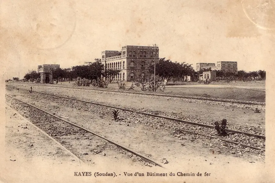
- Nearby: Kayes (48 km)
Best time to visit & climate
The most pleasant time to visit is Jan, Nov, Dec.
| Jan | Feb | Mar | Apr | May | Jun | Jul | Aug | Sep | Oct | Nov | Dec | |
|---|---|---|---|---|---|---|---|---|---|---|---|---|
| Avg °C | 24 | 28 | 31 | 34 | 35 | 32 | 28 | 27 | 27 | 27 | 26 | 24 |
| Rain mm | 0 | 0 | 1 | 1 | 18 | 86 | 197 | 284 | 200 | 52 | 2 | 0 |
📋 Practical info
Geography
Facts
- Located in the Kayes region near the border with Senegal.
- The total length of the escarpment is approximately 100 kilometers.
- Cliffs reach maximum altitudes of up to 450 meters above sea level.
- Hub of historical gold mining in the Bambouk regional fields.
- Composed of massive sandstone formations from the Proterozoic era.
- Provides vital seasonal springs for the local Falémé river basin.
Explore nearby
Notable places around
Route planner — Car & Motorhome
Where do you start? We build the route here, with stops and country notes along the way.
© OpenStreetMap contributors · OpenRouteService
Sights nearby
Frequently asked questions
How difficult is the climb?
Are there viewpoints?
Best season?
Are there parking spaces?
Is it suitable for families?
Tambaoura Escarpment: where is it located?
Tambaoura Escarpment: when is the best time to visit?
Tambaoura Escarpment: why is it worth visiting?

Nearby cities


History & landmarks
More places