Plizio Visual Lab
Kéniéba
ℹ️Practical info — Kéniéba
▾
🌤 Weather — 5 days
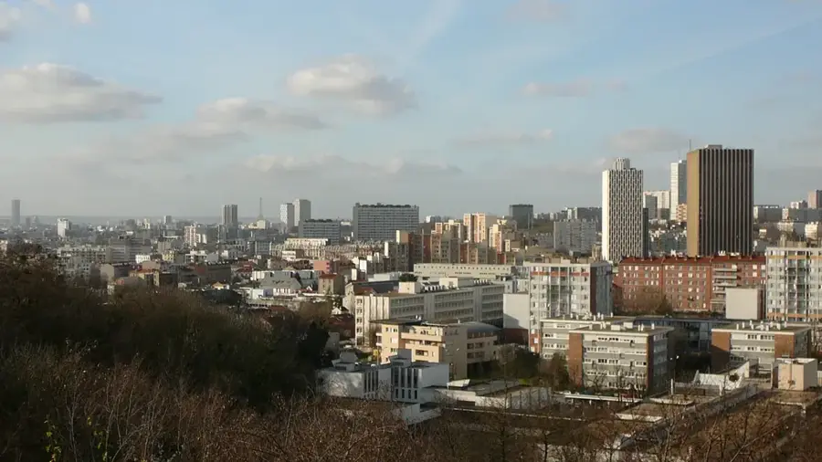
📍 Nearby
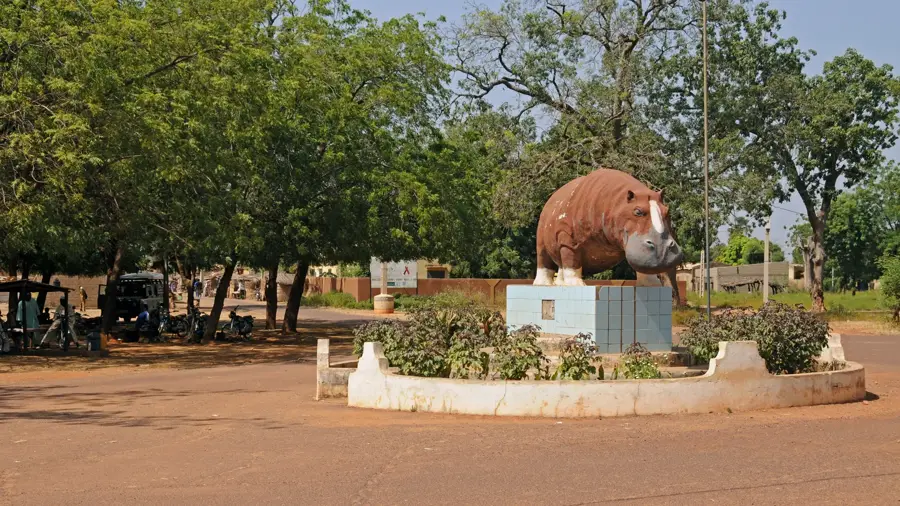
Sights nearby
💡 Tips
- Bring sufficient cash (CFA francs) as ATMs can be unreliable in this mining town.
- Be prepared for dusty roads, especially in the dry season; a scarf is handy.
- If traveling to Senegal, check the border crossing times early in the day.
- Always ask permission before photographing mining areas or local people.
🍽 Food
Look for local maquis (eateries) near the main market.
Often grilled, found in small traditional restaurants.
Offered by street vendors throughout the town.
🛍 Shopping · 🧘 Quiet spots
Sold at the central market.
Look for local artisans working near the market area.
Buy them directly from street stalls during the season.
Take a walk just outside town for expansive views.
Peaceful walks away from the mining noise.
Water temperature…
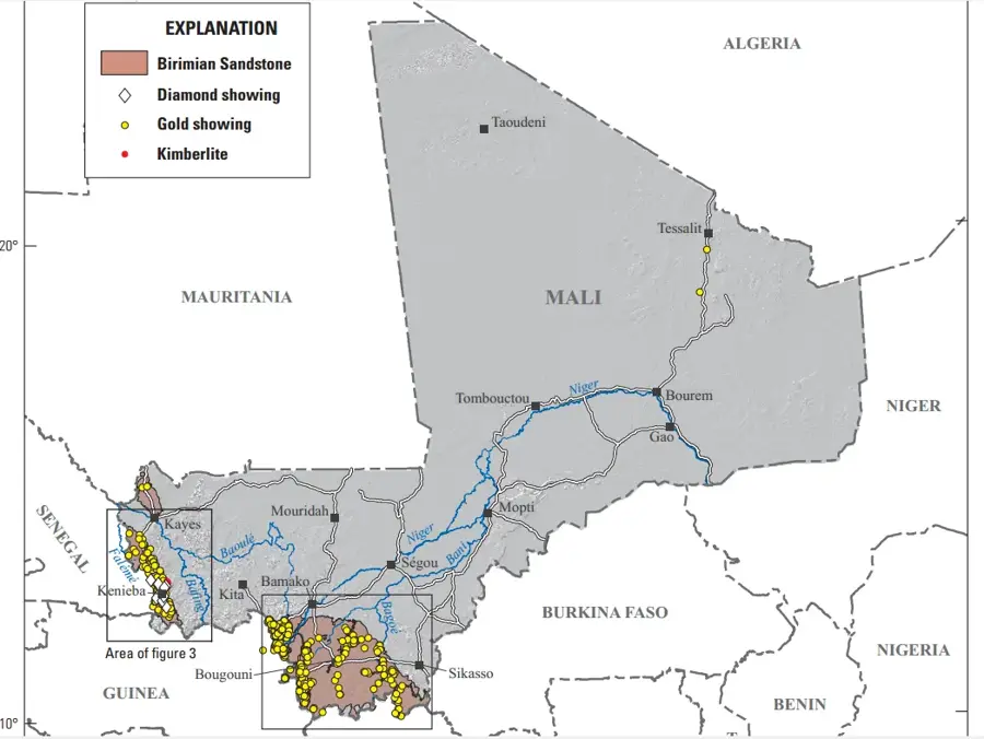
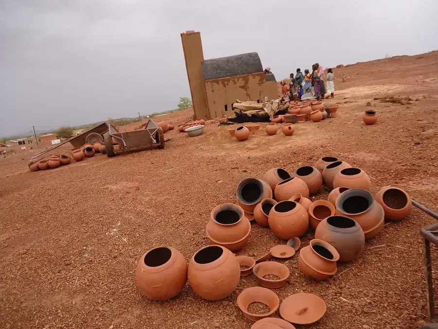
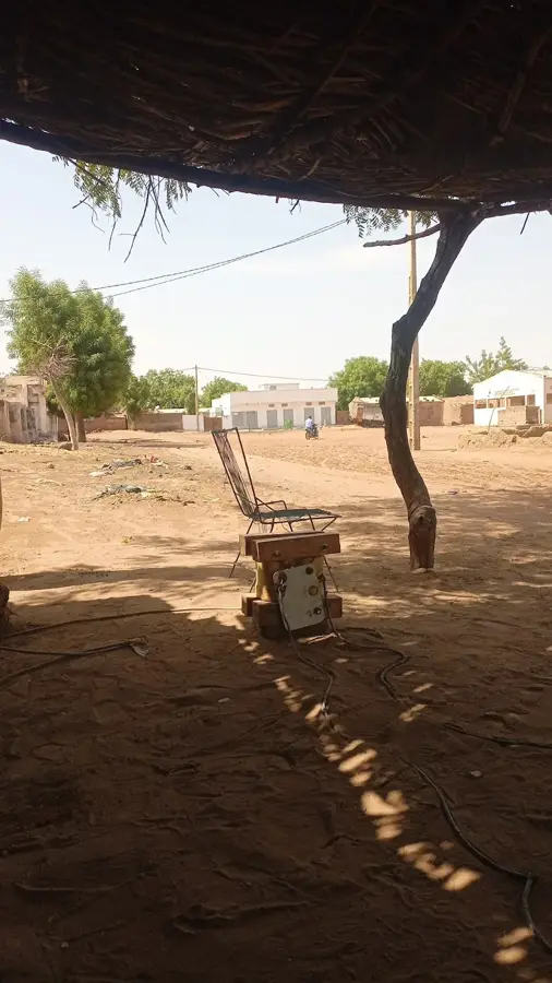
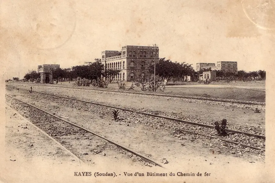
Kéniéba is a strategic mining town located in western Mali, within the Kayes Region near the border with Senegal. The town is globally significant due to its vast gold deposits, most notably hosting the Loulo-Gounkoto mine complex, which is one of the largest gold-producing operations in Africa. Geographically, the area is defined by the Falémé River valley, which forms a natural border and provides essential water resources for local agriculture. Beyond industrial mining, many residents engage in artisanal gold panning and farming, focusing on crops like millet and peanuts. The town's infrastructure has seen steady improvement driven by the revenue from the extractive sector, making it an economic engine for the western part of the country. Despite its industrial growth, Kéniéba maintains deep cultural roots within the Mandinka community, preserving traditional music and social customs.
Best time to visit & climate
The most pleasant time to visit is Jan, Nov, Dec.
| Jan | Feb | Mar | Apr | May | Jun | Jul | Aug | Sep | Oct | Nov | Dec | |
|---|---|---|---|---|---|---|---|---|---|---|---|---|
| Avg °C | 25 | 29 | 32 | 34 | 34 | 30 | 27 | 26 | 26 | 27 | 25 | 24 |
| Rain mm | 1 | 1 | 2 | 4 | 39 | 146 | 255 | 361 | 254 | 81 | 5 | 0 |
Geography
Facts
- Located in the heart of West Africa's prolific 'Birimian' gold belt.
- The Loulo-Gounkoto complex produces over 600,000 ounces of gold annually.
- Situated approximately 480 kilometers west of the national capital, Bamako.
- The Falémé River serves as the natural international border with Senegal.
- Kéniéba is the administrative capital of its eponymous cercle in Kayes.
- The local economy is heavily bolstered by international mining investments.
Explore nearby
Notable places around
Route planner — Car & Motorhome
Where do you start? We build the route here, with stops and country notes along the way.
© OpenStreetMap contributors · OpenRouteService
Frequently asked questions
What is Kéniéba?
Is it interesting for tourists?
How is the landscape?
How to travel there?
When is a visit worth it?
Kéniéba: where is it located?
Kéniéba: when is the best time to visit?
Kéniéba: why is it worth visiting?

Nearby cities

History & landmarks
More places