Plizio Visual Lab
Tsiribihina Delta

Weather…
Water temperature…
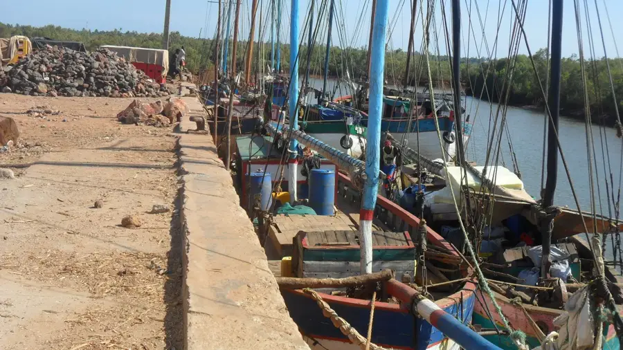
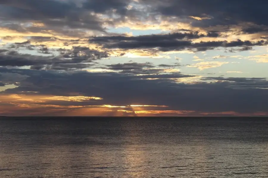
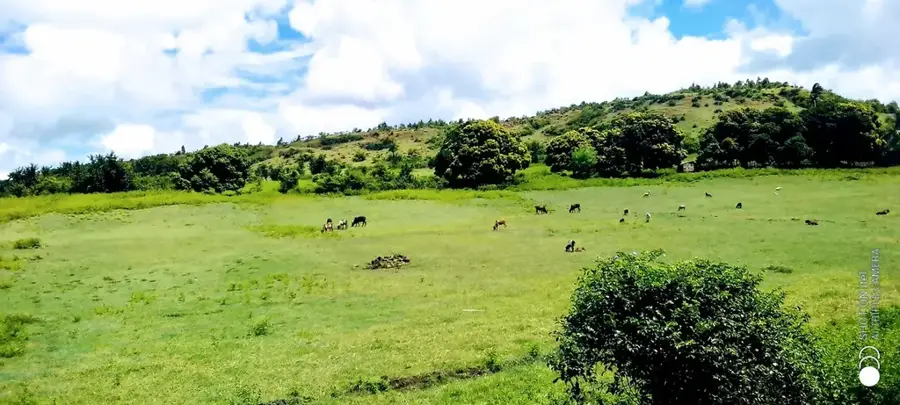
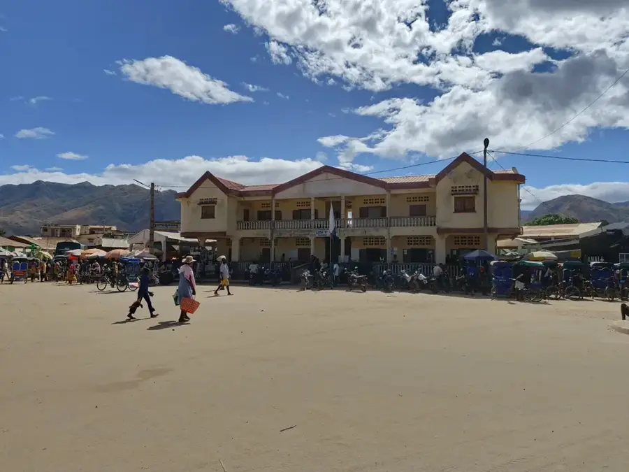
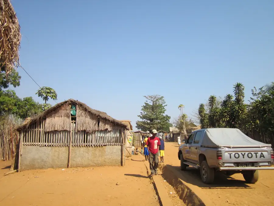
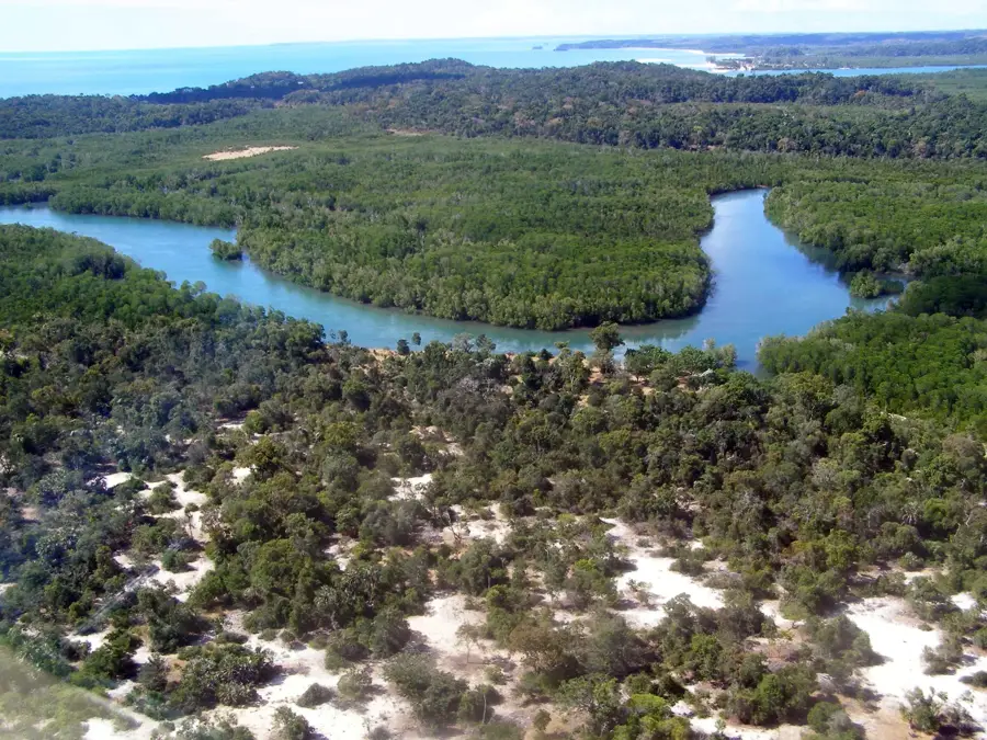
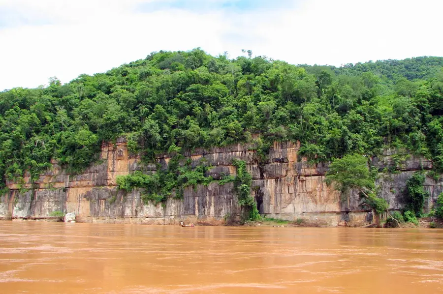
The Tsiribihina Delta extends along the west coast of Madagascar in the Menabe region, forming one of the country's most significant wetlands. It covers an area of over 20,000 hectares and consists of a complex network of river branches, lagoons, and dense mangrove forests. Geographically, it marks the mouth of the Tsiribihina River, which carries water from the central highlands into the Mozambique Channel. The delta is an internationally recognized RAMSAR site, playing a critical role in the protection of waterbirds and endangered reptiles like the Madagascar big-headed turtle. The landscape is characterized by wide mudflats that are exposed at low tide, providing food for thousands of migratory birds. The region is inhabited by the Sakalava people, who traditionally live from fishing and agriculture in the fertile alluvial soils. Navigating through the delta requires local knowledge of the constantly shifting sandbanks and currents. It remains one of Madagascar's most pristine natural regions, largely due to its difficult accessibility, which has preserved its original character.
- Location: Madagascar
- Nearby: Belo sur Tsiribihina (28 km)
Best time to visit & climate
The most pleasant time to visit is Jun–Aug.
| Jan | Feb | Mar | Apr | May | Jun | Jul | Aug | Sep | Oct | Nov | Dec | |
|---|---|---|---|---|---|---|---|---|---|---|---|---|
| Avg °C | 28 | 28 | 28 | 27 | 26 | 24 | 24 | 24 | 26 | 27 | 28 | 29 |
| Rain mm | 339 | 225 | 136 | 66 | 14 | 12 | 8 | 4 | 8 | 27 | 55 | 149 |
📋 Practical info
Geography
Facts
- The delta was designated as a RAMSAR protected site in 2017.
- It is home to over 40 different species of waterbirds.
- The mangrove forests stretch over a length of nearly 50 kilometers.
- The Tsiribihina River is over 1 kilometer wide at its mouth.
- The rare Madagascar big-headed turtle (Erymnochelys madagascariensis) lives here.
- The region receives less than 800 mm of rainfall per year.
Explore nearby
Notable places around
Route planner — Car & Motorhome
Where do you start? We build the route here, with stops and country notes along the way.
© OpenStreetMap contributors · OpenRouteService
Sights nearby
Frequently asked questions
What is special about the Tsiribihina Delta?
Is the delta developed for tourism?
Is there accommodation there?
Is a guide necessary?
When is the best time to visit?
Tsiribihina Delta: where is it located?
Tsiribihina Delta: when is the best time to visit?
Tsiribihina Delta: why is it worth visiting?

Nearby cities


History & landmarks
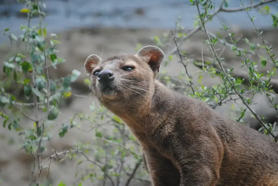
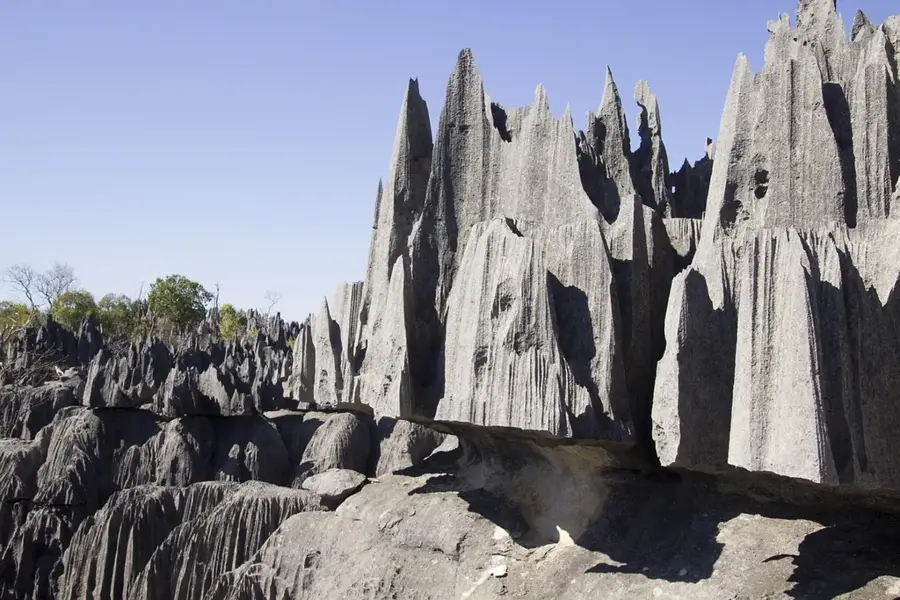
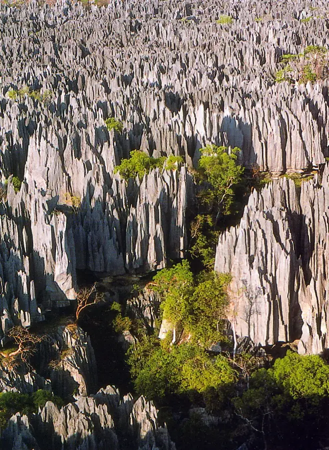
Nature
More places