Plizio Visual Lab
Bemaraha Plateau

Weather…
Water temperature…
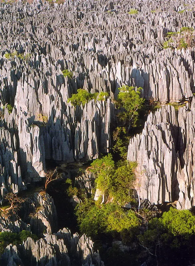
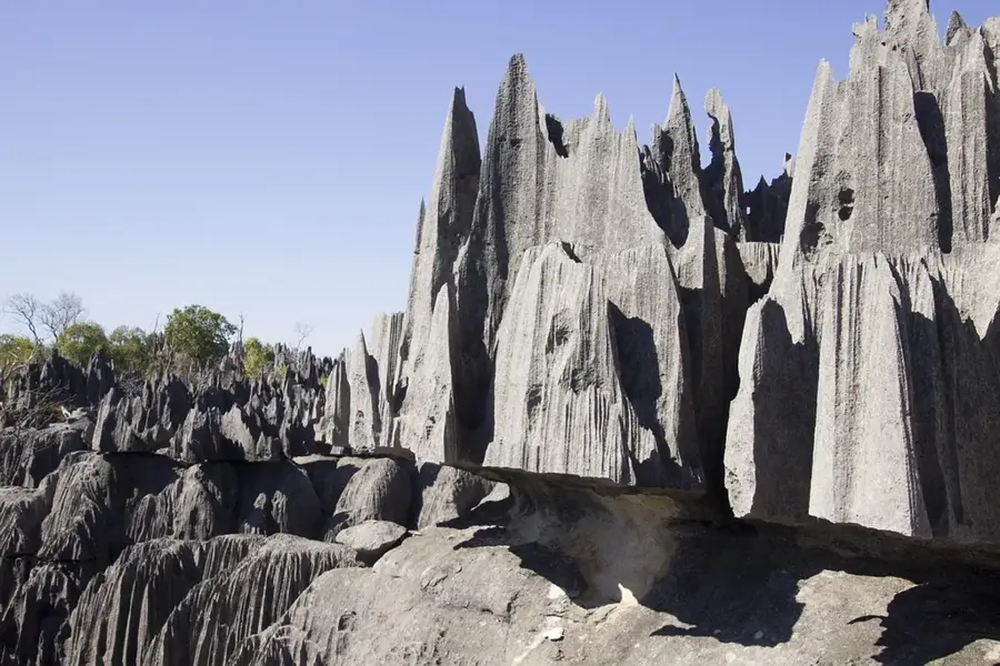
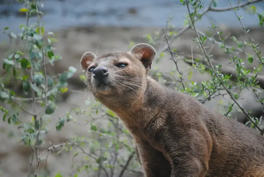
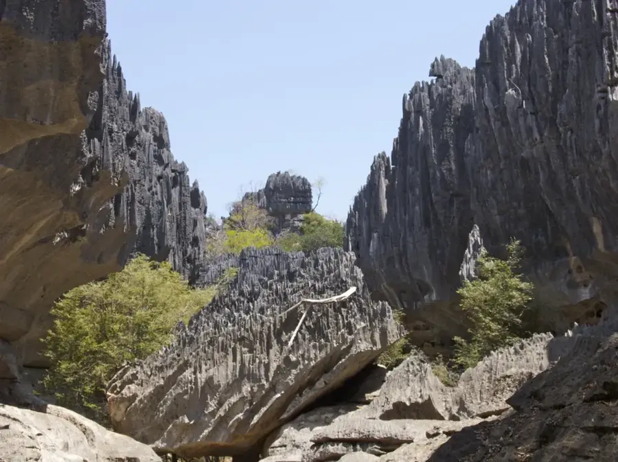
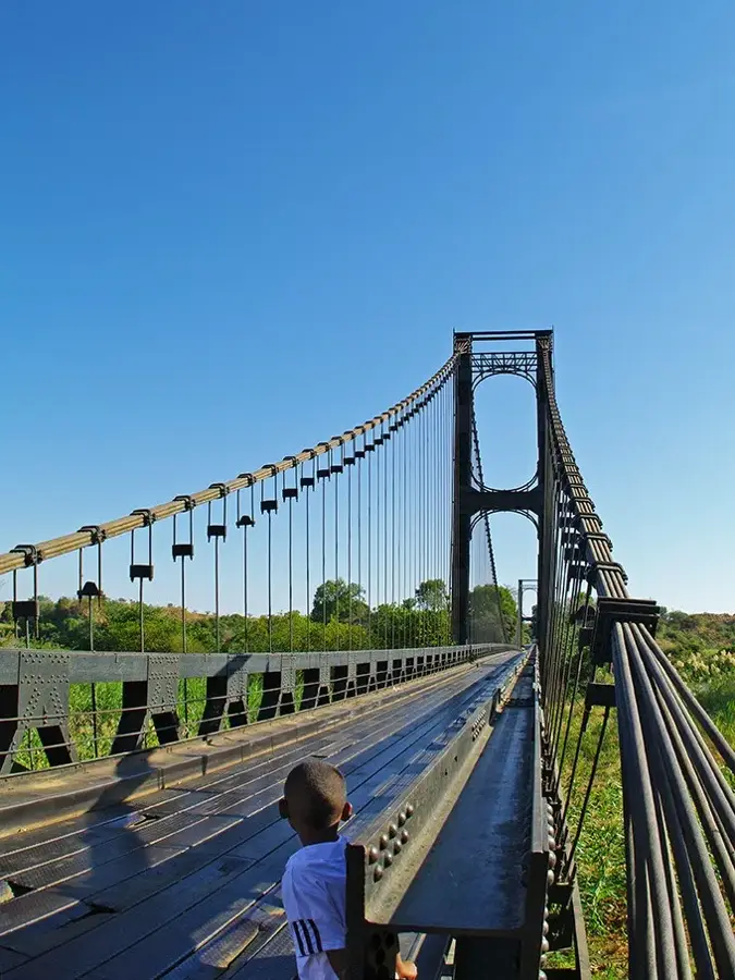
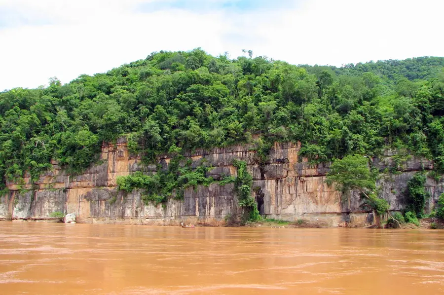
The Bemaraha Plateau in western Madagascar is a globally unique karst landscape, best known for its spectacular 'Tsingy' formations. These consist of razor-sharp limestone needles created through millennia of erosion and corrosion by acidic rainfall. The plateau lies within the Tsingy de Bemaraha National Park, which has been a UNESCO World Heritage site since 1990. Beneath the jagged surface lies a complex system of caves and underground waterways, while the exterior is covered by dry deciduous forests. The region hosts an exceptionally high number of endemic species, including eleven species of lemurs and numerous reptiles that have adapted to life among the sharp rocks. Access to the plateau is challenging due to the extreme topography, often requiring the use of suspension bridges and via ferrata climbing routes. Culturally, the region has served as a sanctuary for local tribes for centuries and provides vital insights into the island's geological history during the Jurassic period.
- Location: Madagascar
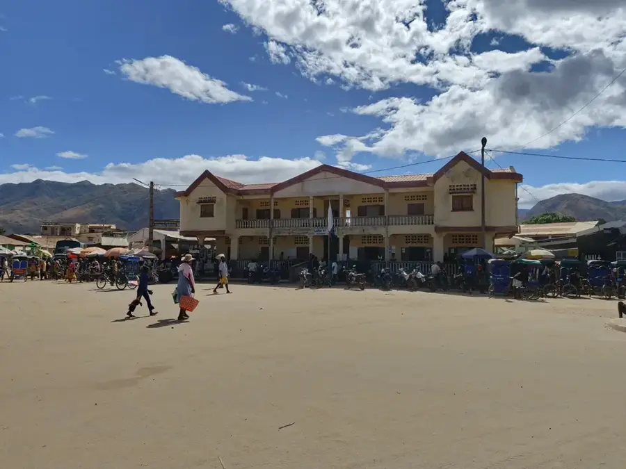
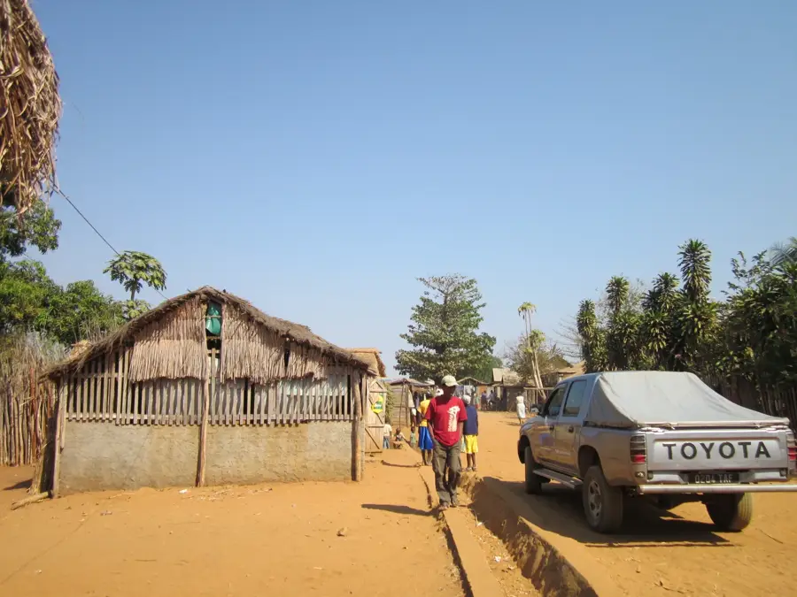
- Nearby: Antsalova (16 km)
Best time to visit & climate
The most pleasant time to visit is Jun–Aug.
| Jan | Feb | Mar | Apr | May | Jun | Jul | Aug | Sep | Oct | Nov | Dec | |
|---|---|---|---|---|---|---|---|---|---|---|---|---|
| Avg °C | 25 | 25 | 25 | 24 | 22 | 21 | 21 | 23 | 26 | 27 | 27 | 27 |
| Rain mm | 384 | 280 | 201 | 86 | 23 | 11 | 12 | 6 | 14 | 55 | 115 | 232 |
📋 Practical info
Geography
Facts
- UNESCO World Heritage site since 1990
- Features razor-sharp limestone rocks (Tsingy)
- Composed of Jurassic marine limestone
- Home to 11 different lemur species
- Protected area covers about 1,500 sq km
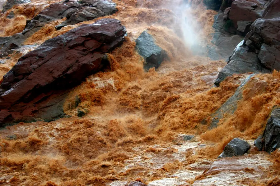
- Bisected by the scenic Manambolo River
Explore nearby
Notable places around
Route planner — Car & Motorhome
Where do you start? We build the route here, with stops and country notes along the way.
© OpenStreetMap contributors · OpenRouteService
Sights in the town Bemaraha Plateau (1)
Sights nearby
Frequently asked questions
What makes the Bemaraha Plateau special?
Is it suitable for beginners?
What is the best time to visit?
How do you reach the park?
Is food available there?
Bemaraha Plateau: where is it located?
Bemaraha Plateau: when is the best time to visit?
Bemaraha Plateau: why is it worth visiting?

Nearby cities


History & landmarks
Nature
More places