Plizio Visual Lab
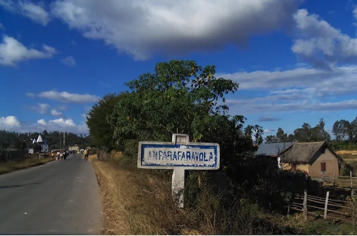
Mahanoro
ℹ️Practical info — Mahanoro
▾
🌤 Weather — 5 days
📍 Nearby
Sights nearby
💡 Tips
- Explore the Pangalanes Canal by hiring a pirogue (dugout canoe) directly from local boatmen.
- Mosquito repellent is an absolute must due to the proximity of the canal and wetlands.
- Rain is frequent on the east coast year-round; always carry a lightweight raincoat.
- Bargain politely but firmly when negotiating boat trips or taxi-brousse fares.
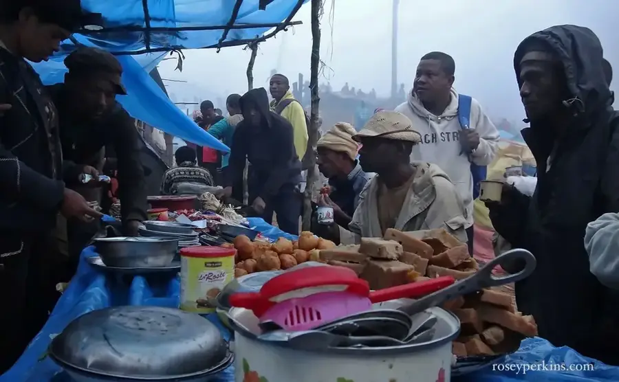
🍽 Food
Eel cooked with pork and leaves. A local delicacy, ask for it in canal-side gargotes.
Cassava leaves stew with pork. A staple meal in simple local eateries.
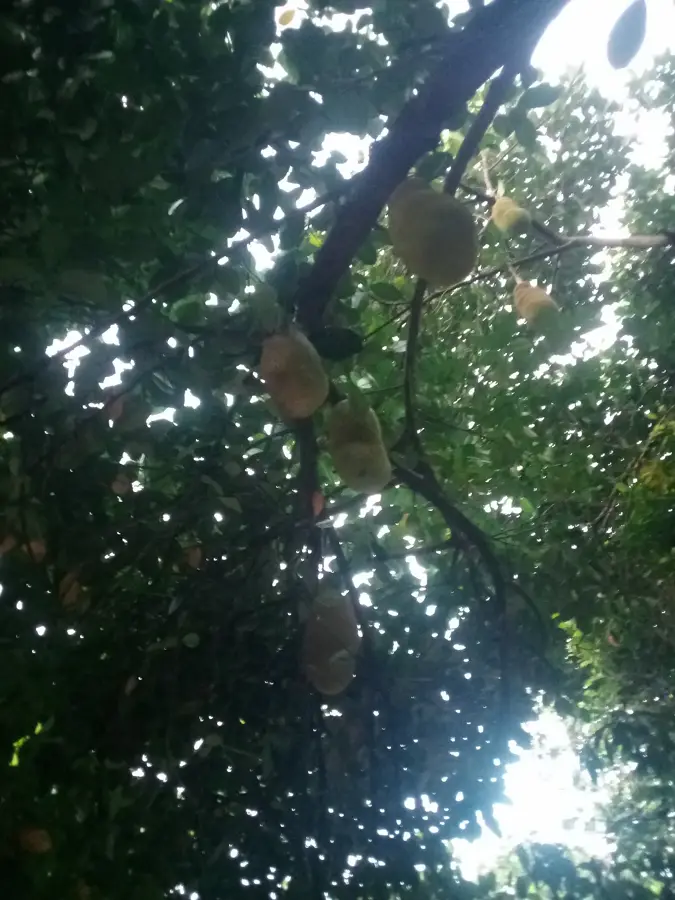
Incredibly sweet and cheap at the market between November and December.
🛍 Shopping · 🧘 Quiet spots
Find handwoven mats and baskets in the central market, great for souvenirs.
Buy vanilla and cloves directly from vendors in the market, check for freshness.
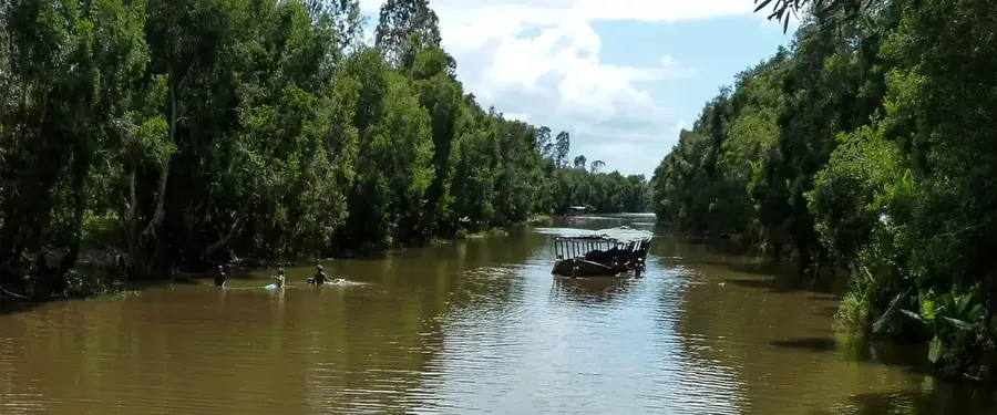
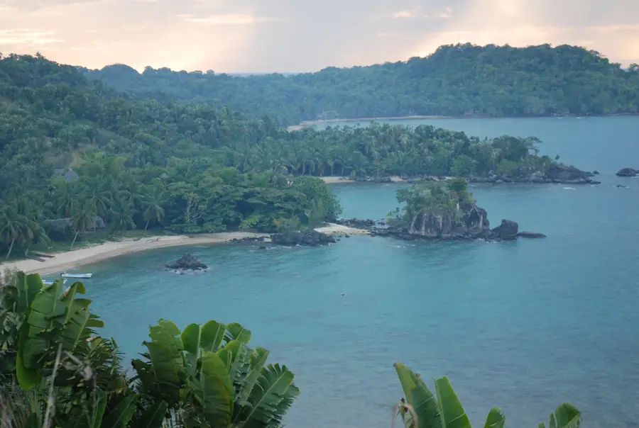
Watch the small boats glide by at sunset along the peaceful banks of the Pangalanes.
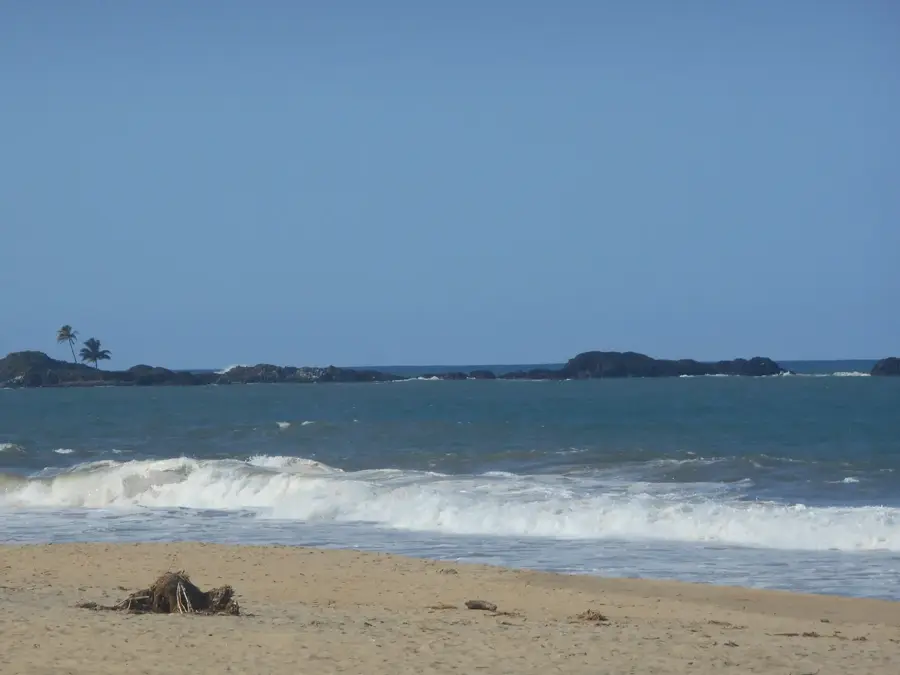
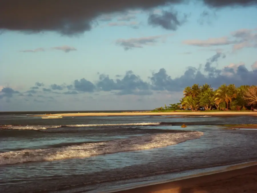
The sandy stretch facing the Indian Ocean is great for a solitary walk, but beware of strong currents if swimming.
Water temperature…
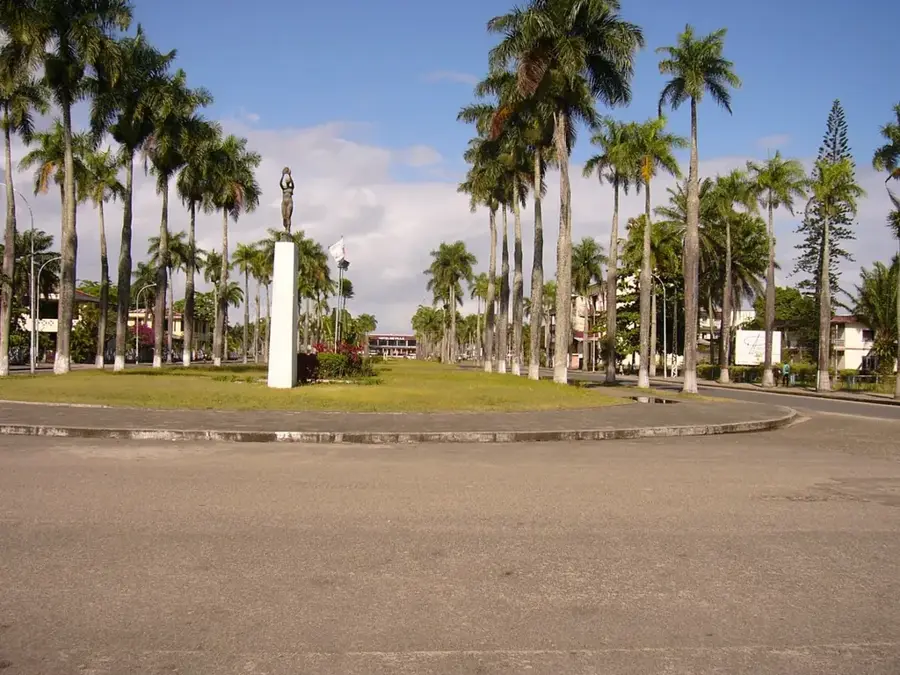
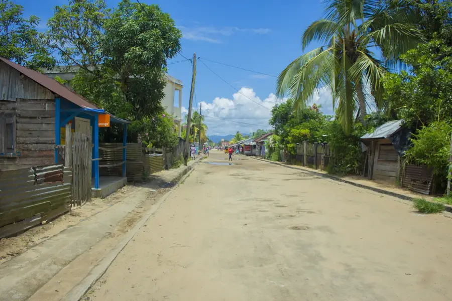
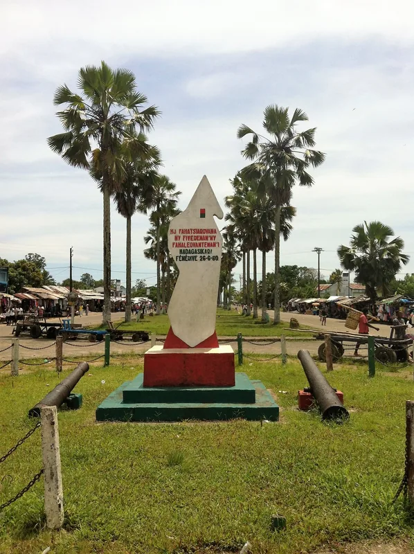
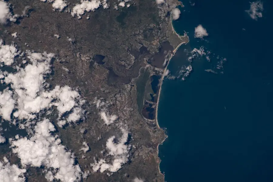
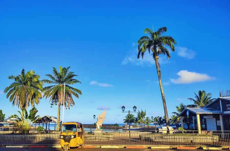
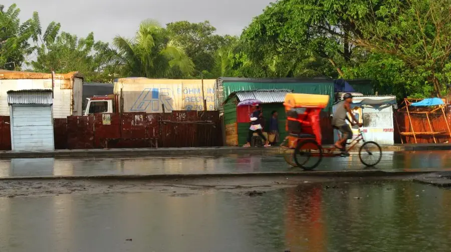
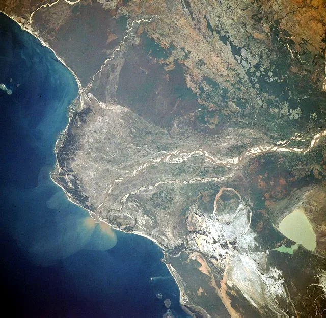
Mahanoro is a coastal town in the Atsinanana region of eastern Madagascar, located approximately 245 kilometers south of Toamasina. The town is situated at the strategic mouth of the Mangoro River, where it flows into the Indian Ocean, and is a significant stop along the Canal des Pangalanes. This geography has made Mahanoro a historical hub for inland water transport and coastal trade. During the 19th century, it rose to prominence as an important port for the Merina Kingdom, facilitating the export of resources from the highlands. Economically, the town relies on the cultivation of export crops such as coffee, pepper, and cloves, as well as local fishing. The surrounding area is characterized by lush tropical vegetation, expansive beaches, and the intricate network of the Pangalanes waterways. The inhabitants are primarily from the Betsimisaraka ethnic group, whose cultural traditions are deeply connected to the river and the sea. Mahanoro maintains a quiet charm with its colonial-era buildings and serves as a vital link in the regional infrastructure connecting the coast with the interior of the Mangoro valley.
- Location: Madagascar
- Nearby: Vatomandry (51 km)
- Population: ~40.033 (2023)
Best time to visit & climate
The most pleasant time to visit is Jul–Sep.
| Jan | Feb | Mar | Apr | May | Jun | Jul | Aug | Sep | Oct | Nov | Dec | |
|---|---|---|---|---|---|---|---|---|---|---|---|---|
| Avg °C | 26 | 26 | 25 | 25 | 23 | 22 | 21 | 21 | 22 | 23 | 24 | 26 |
| Rain mm | 357 | 298 | 314 | 165 | 122 | 102 | 99 | 61 | 48 | 77 | 146 | 250 |
Geography
Facts
- Located at the mouth of the Mangoro River, the east's longest river.
- A key navigation hub on the Canal des Pangalanes.
- A vital 19th-century port for the Merina Kingdom's trade.
- Major production center for coffee, pepper, and cloves.
- The primary urban center for the local Betsimisaraka people.
- Known for its colonial architecture and scenic river lagoons.
Explore nearby
Notable places around
Route planner — Car & Motorhome
Where do you start? We build the route here, with stops and country notes along the way.
© OpenStreetMap contributors · OpenRouteService
Frequently asked questions
How long to stay in Mahanoro?
What is the best travel time?
How to get to Mahanoro?
Are there local specialties?
Is Mahanoro family-friendly?
Mahanoro: where is it located?
Mahanoro: when is the best time to visit?
Mahanoro: why is it worth visiting?

Nearby cities
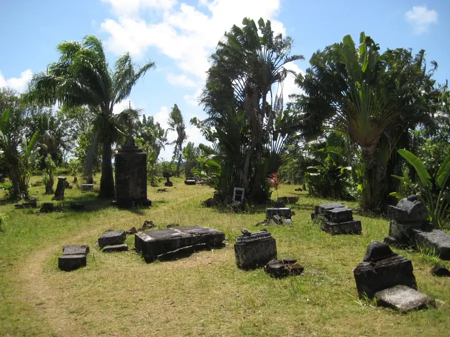
History & landmarks
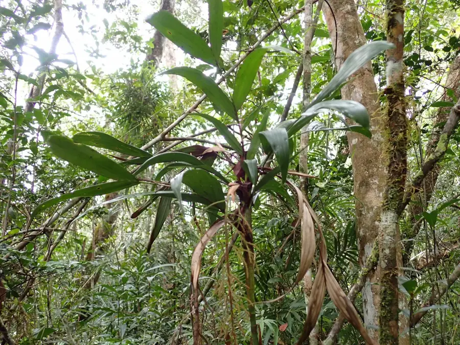
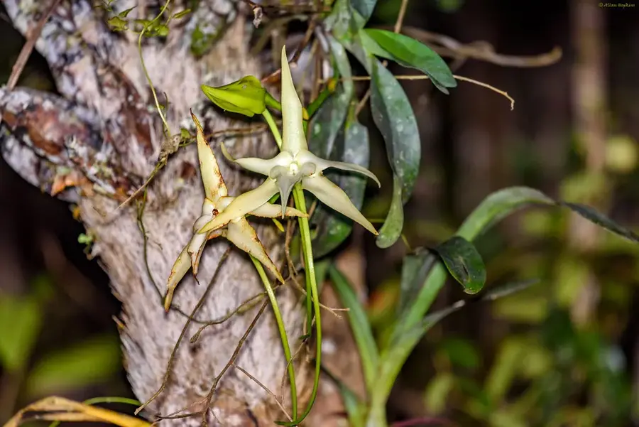
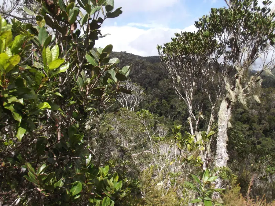
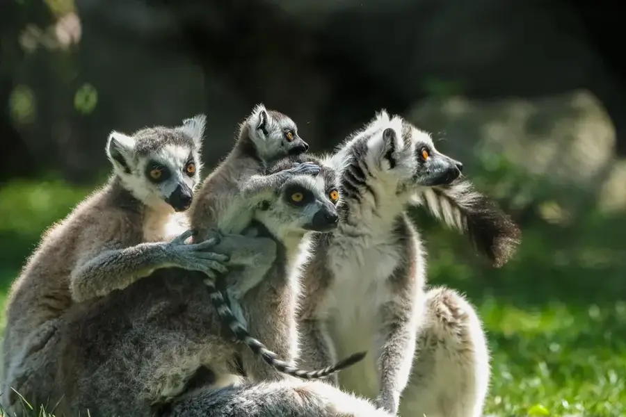
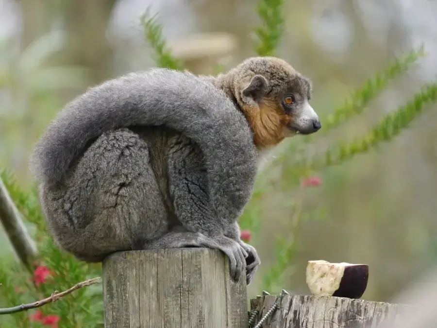
Nature
More places