Plizio Visual Lab
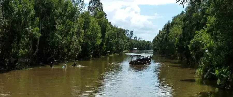
Mangoro River

Weather…
Water temperature…
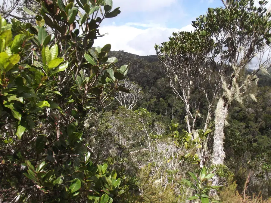
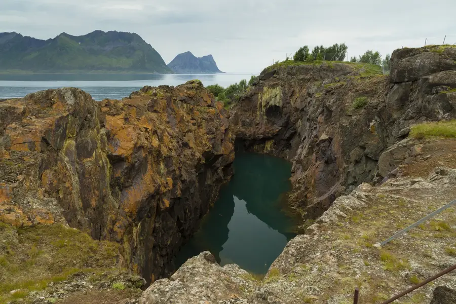
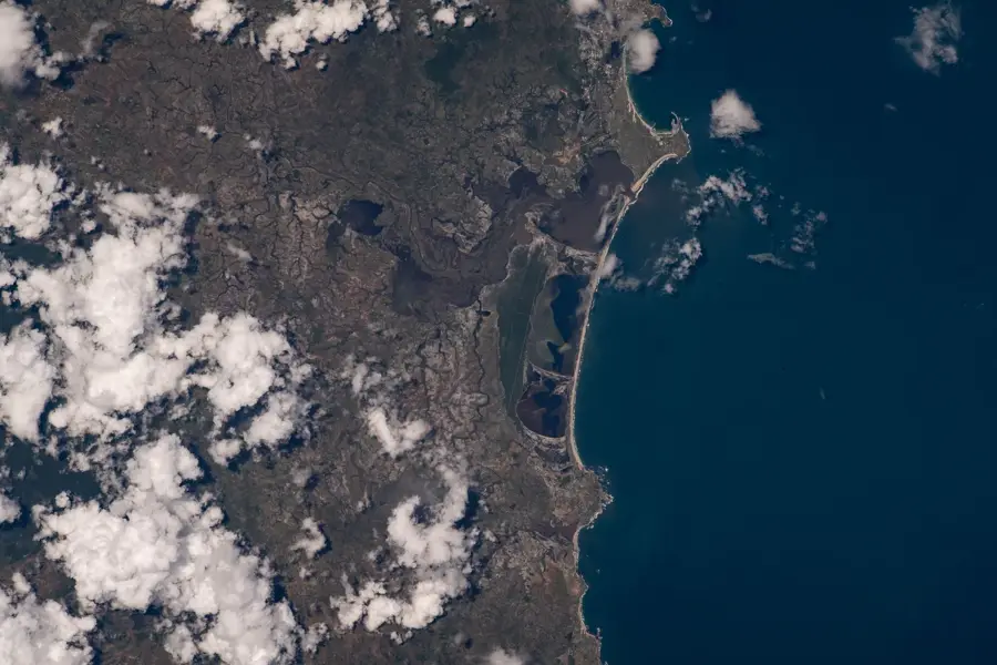
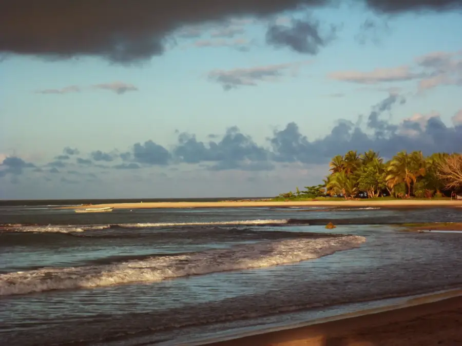
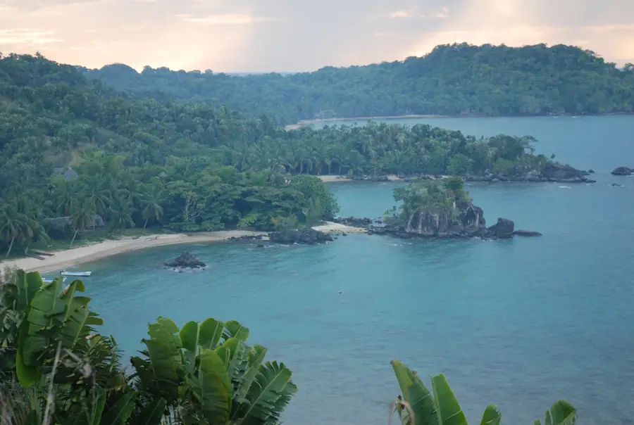
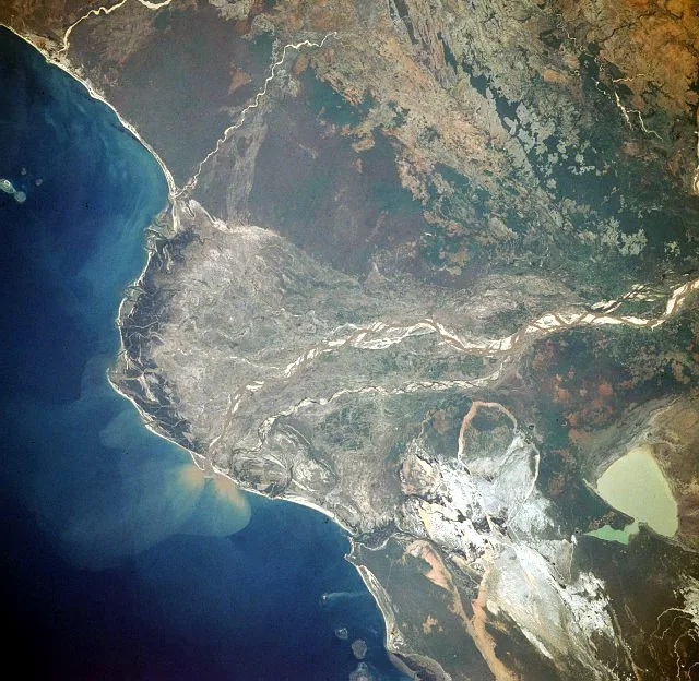
The Mangoro River, with a length of approximately 300 kilometers, is one of the most voluminous rivers in eastern Madagascar. It originates in the central highlands northeast of Antananarivo and flows steadily eastward, eventually emptying into the Indian Ocean south of Mahanoro. Due to its steep gradient and strong current, the river possesses significant hydroelectric potential, which has been partially developed. Geographically, it traverses dense rainforest areas and deep gorges, making it a popular destination for whitewater rafting. Historically, the river was used for transporting precious timber from the interior, with logs being floated downstream. The riparian regions are ecologically valuable, hosting rare amphibians and birds that rely on clean flowing water. The Mangoro is also a vital factor for local agriculture, as it enables the irrigation of rice paddies in the flatter valleys. Despite its economic utilization, much of the river remains untamed and significantly shapes the wild landscape of the east coast.
- Location: Madagascar
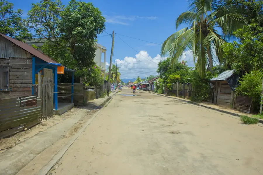
- Nearby: Vatomandry (32 km)
Best time to visit & climate
The most pleasant time to visit is Aug–Oct.
| Jan | Feb | Mar | Apr | May | Jun | Jul | Aug | Sep | Oct | Nov | Dec | |
|---|---|---|---|---|---|---|---|---|---|---|---|---|
| Avg °C | 24 | 24 | 23 | 22 | 21 | 19 | 18 | 18 | 19 | 21 | 22 | 24 |
| Rain mm | 384 | 339 | 360 | 231 | 176 | 158 | 161 | 100 | 75 | 93 | 144 | 260 |
📋 Practical info
Geography
Facts
- The Mangoro is the most important drainage of the central highlands to the east.
- The river has an average discharge of over 400 m³/s.
- The Ivolobe power station utilizes the river's gradient for electricity generation.
- Rafting trips on the Mangoro often last several days.
- The river passes through the Alaotra-Mangoro region, a key rice-growing area.
- Numerous waterfalls line its course through the gorges.
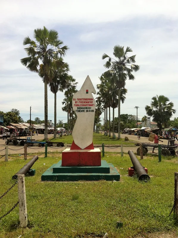
Explore nearby
Notable places around
Route planner — Car & Motorhome
Where do you start? We build the route here, with stops and country notes along the way.
© OpenStreetMap contributors · OpenRouteService
Sights nearby
Frequently asked questions
Where does the Mangoro River flow?
Can you go rafting on the Mangoro?
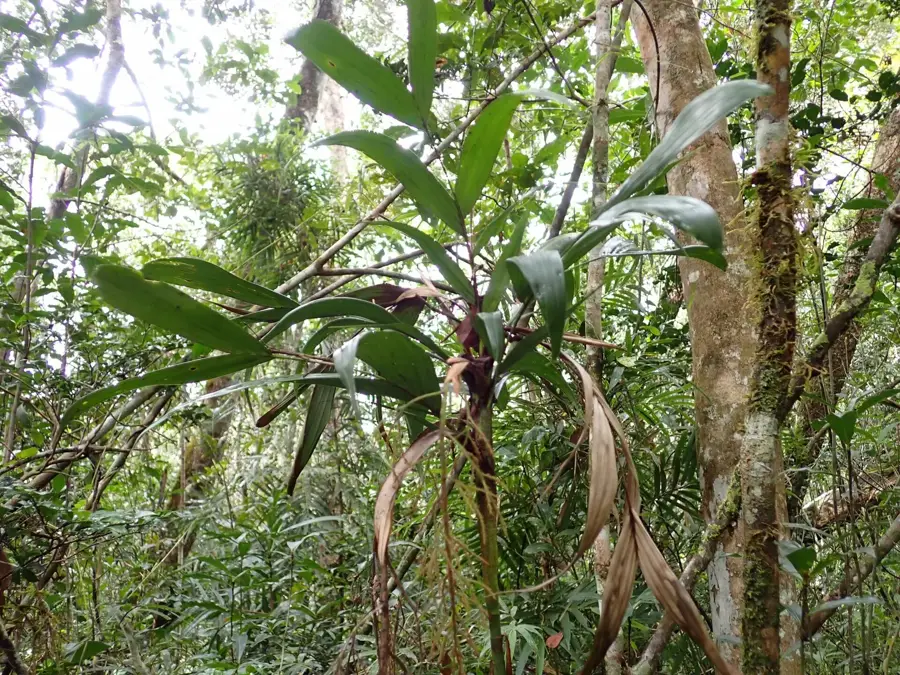
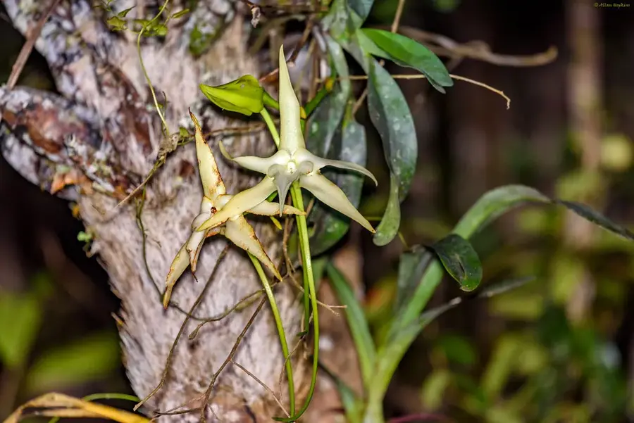
What flora can be seen at the river?
Is the area easy to visit?
Do you need a visa?
Mangoro River: where is it located?
Mangoro River: when is the best time to visit?
Mangoro River: why is it worth visiting?

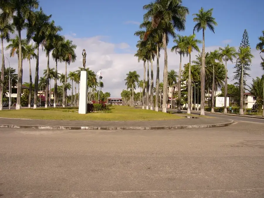
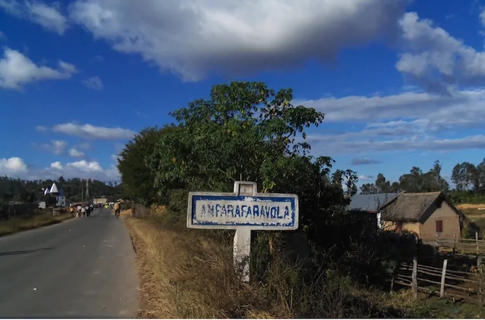
Nearby cities
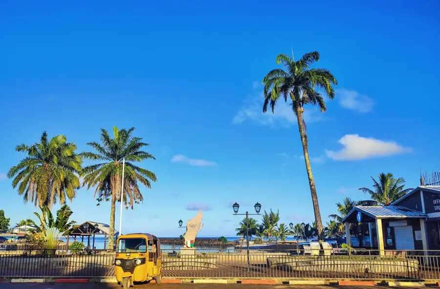
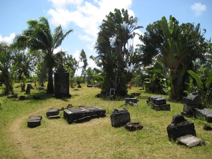
History & landmarks
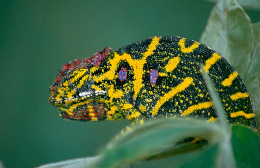
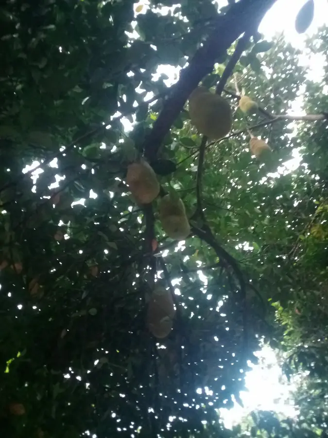
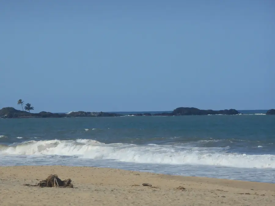
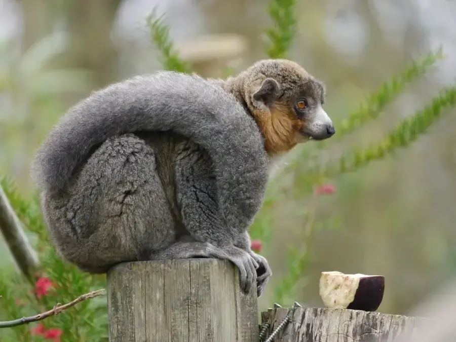
Nature
More places