Plizio Visual Lab
Amberkneppchen Hill
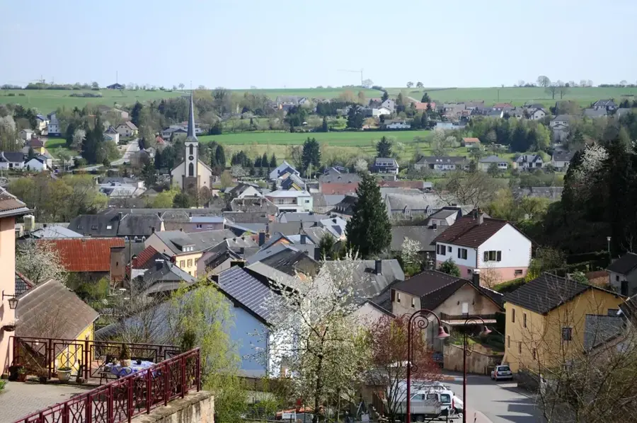
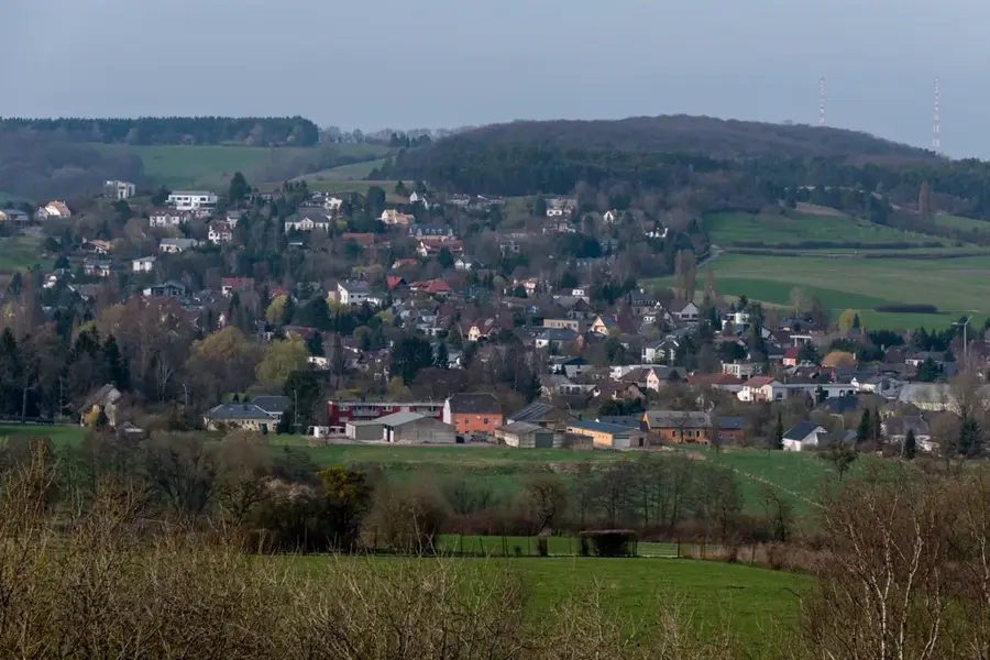
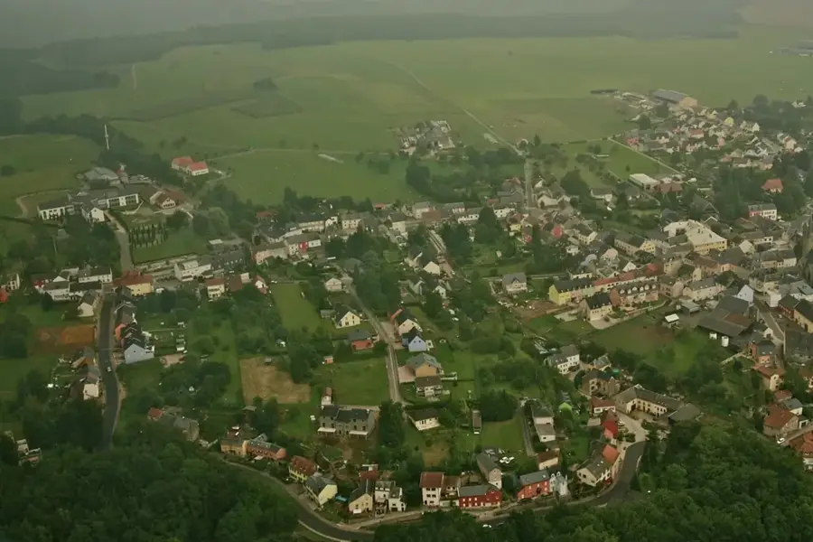
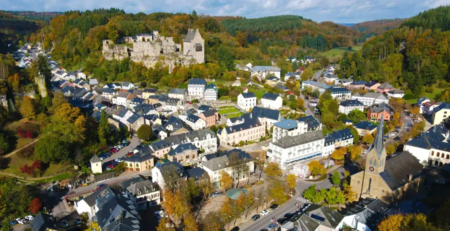
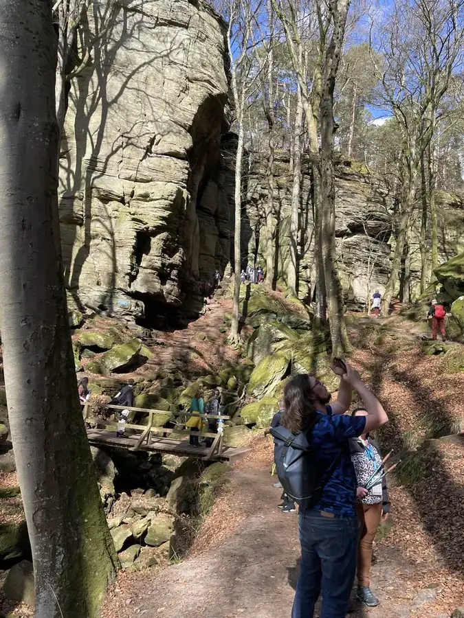
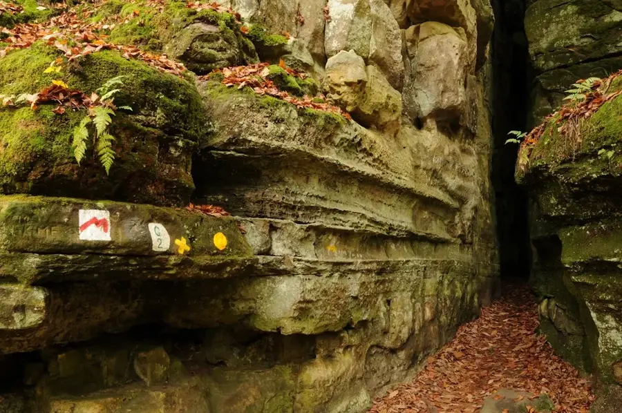
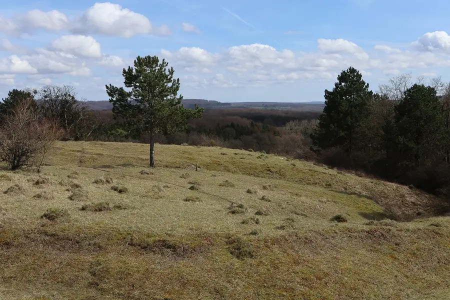
Amberkneppchen is a prominent elevation in the Gutland region, offering one of the finest panoramic views over eastern Luxembourg from its height of 385 meters. Located near Junglinster, the hill rises distinctly above the gently rolling landscape and is visible from afar. The Amberkneppchen plateau features a blend of open grasslands and small woodland patches, making it a good destination for leisure walks. On clear days, the view from the summit extends to the hills of Müllerthal and far into the Moselle valley. The name 'Kneppchen' is a typical Luxembourgish term for a rounded, prominent hill. For locals, Amberkneppchen is a popular spot for picnics and brief excursions to enjoy the expansive countryside. The hill's geological structure is part of the Gutland's sandstone layers, which also dictates the specific flora found in the area.
- Location: Luxembourg
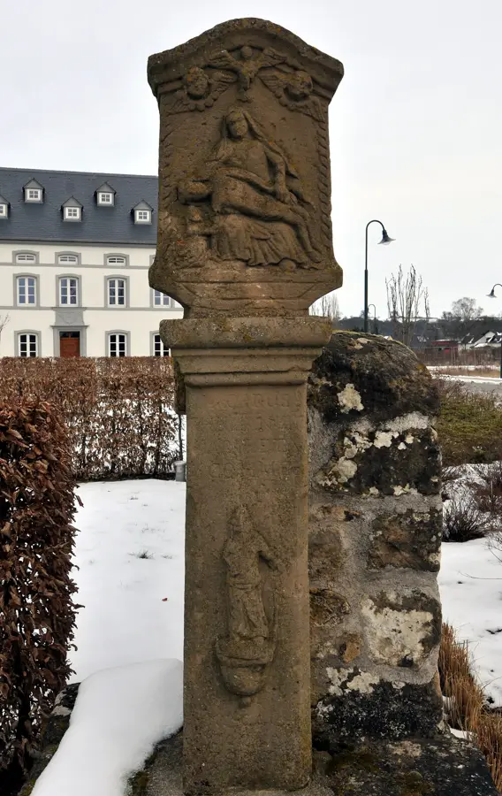
- Top sights: Mäerteskierch · Am Duerf · Beddelsteen
- Nearby: Heffingen (5 km)
Best time to visit & climate
The most pleasant time to visit is Jun–Aug.
| Jan | Feb | Mar | Apr | May | Jun | Jul | Aug | Sep | Oct | Nov | Dec | |
|---|---|---|---|---|---|---|---|---|---|---|---|---|
| Avg °C | 1 | 1 | 5 | 9 | 13 | 17 | 19 | 19 | 15 | 10 | 5 | 2 |
| Rain mm | 67 | 57 | 57 | 46 | 70 | 68 | 65 | 72 | 56 | 65 | 68 | 79 |
📋 Practical info
Geography
Explore nearby
Notable places around
Route planner — Car & Motorhome
Where do you start? We build the route here, with stops and country notes along the way.
© OpenStreetMap contributors · OpenRouteService
Sights in the town Amberkneppchen Hill (10)
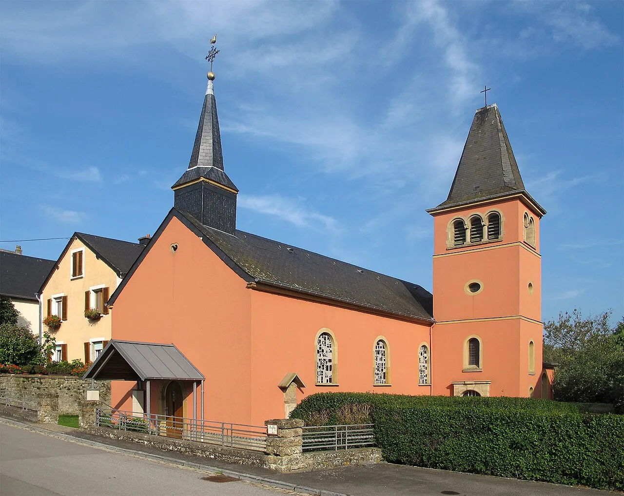
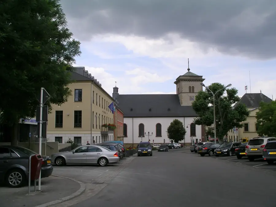
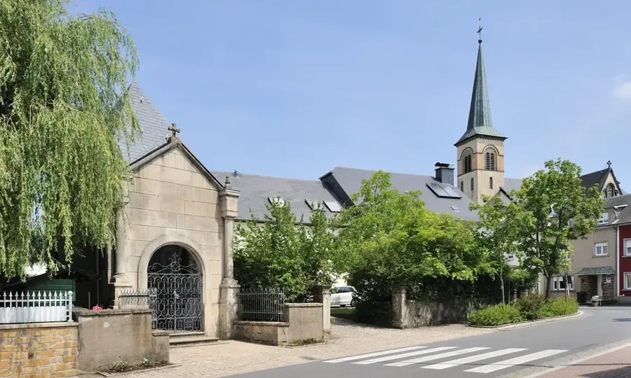
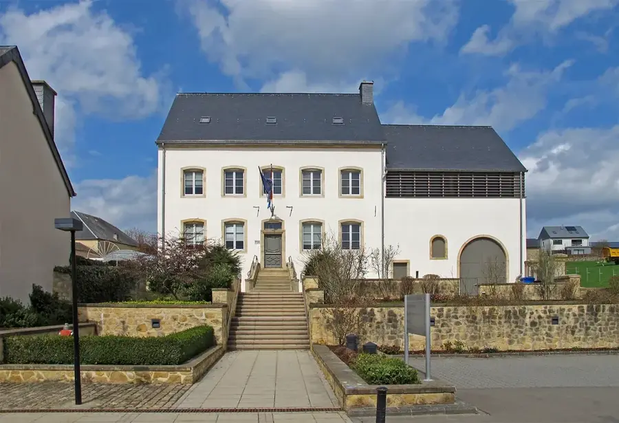
Immaculée-Conception
Catholic church in Bourglinster, venue for masses and prayers.
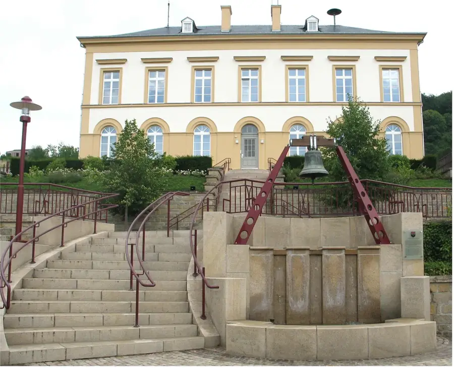
Bredelsteen
Viewpoint offering a panorama of the surrounding landscape.
Haupeschkapell
Church building in Luxembourg, serving the religious community.
Réserve naturelle Weimericht
Nature reserve in Luxembourg, protecting local flora and fauna.
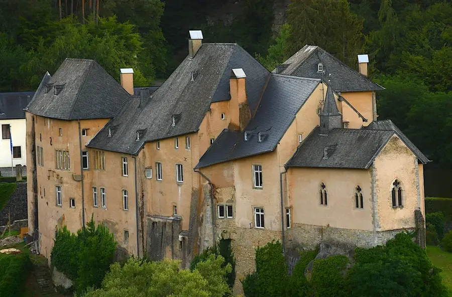
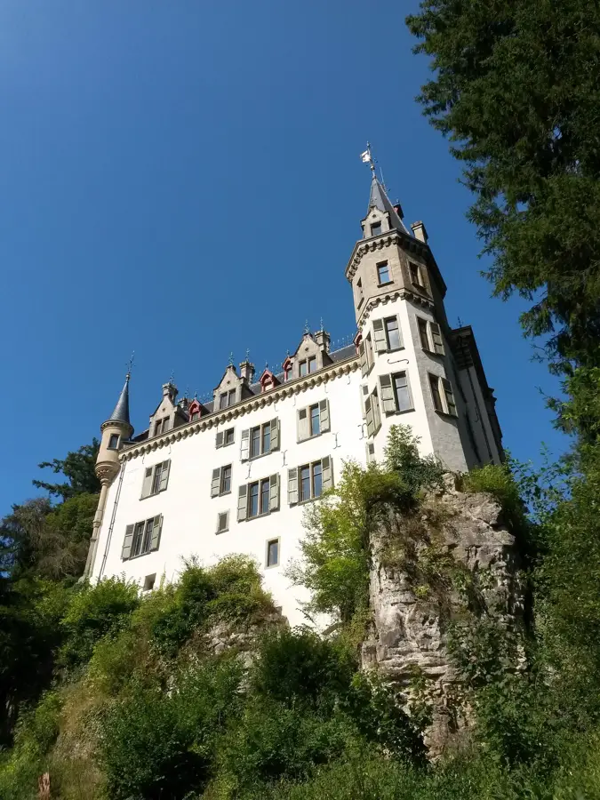
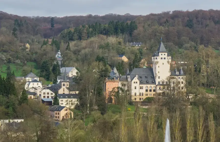
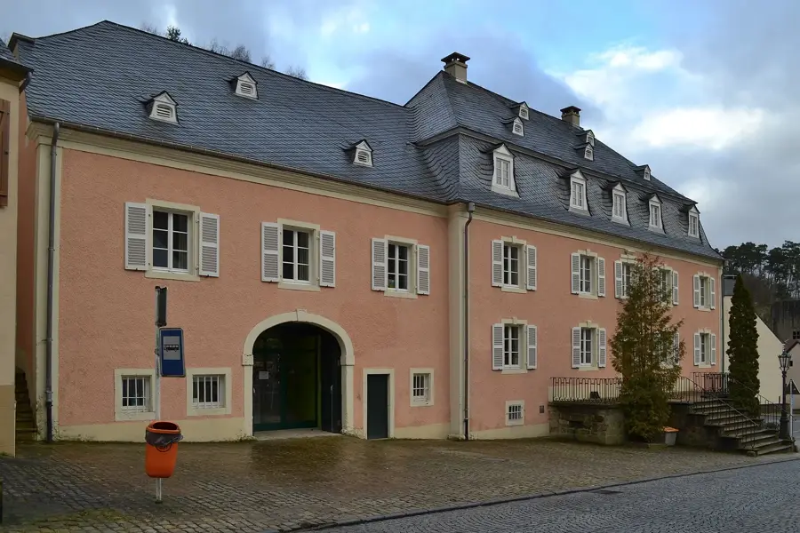
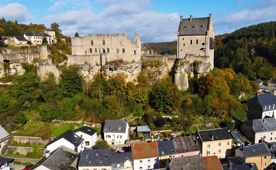
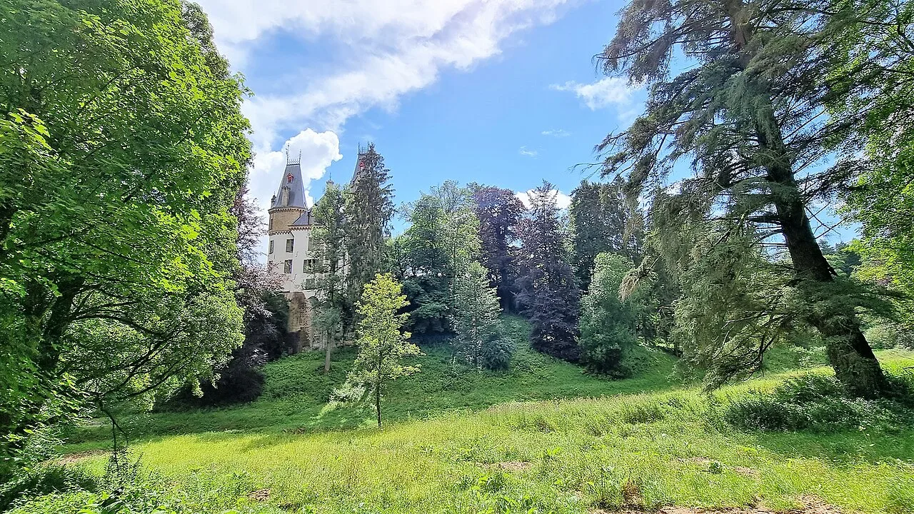
Bourglinster Castle🏰 castle
Castle in Luxembourg, a historic building with cultural significance.
Altlinster
Viewpoint providing a wide vista over the area.
Sights nearby
Frequently asked questions
Where is Amberkneppchen located?
Is the hiking trail to the summit difficult?
Is there a viewing platform?
When is the best time to visit?
Is there parking nearby?
Amberkneppchen Hill: where is it located?
Amberkneppchen Hill: what is there to see?
Amberkneppchen Hill: when is the best time to visit?
Amberkneppchen Hill: why is it worth visiting?

Nearby cities


History & landmarks
Nature
More places