Plizio Visual Lab
Stafelter
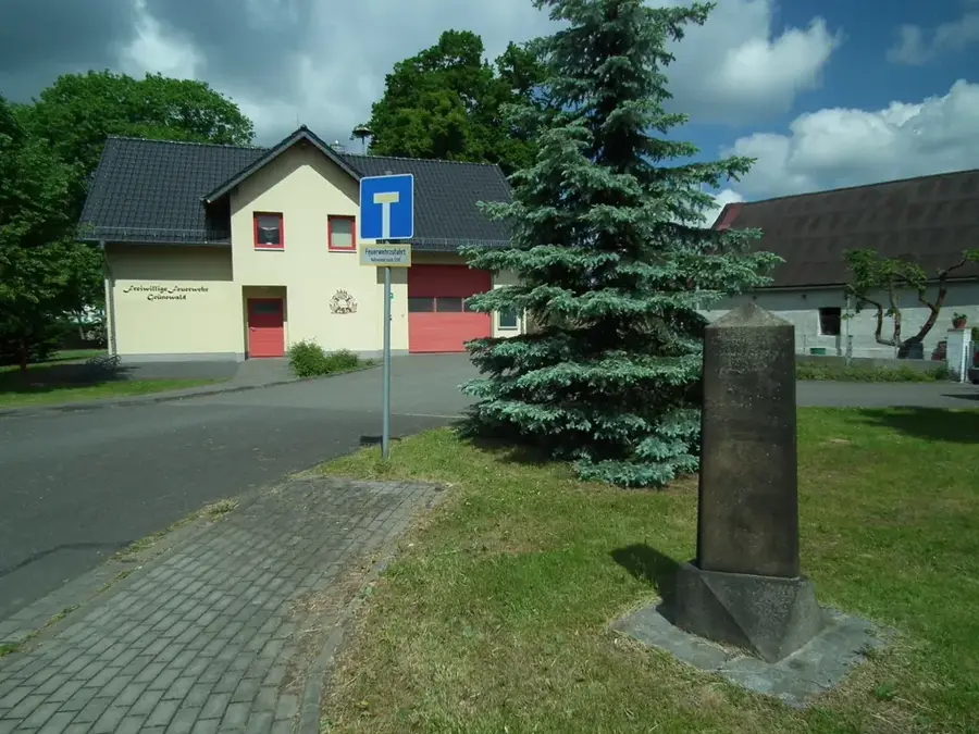
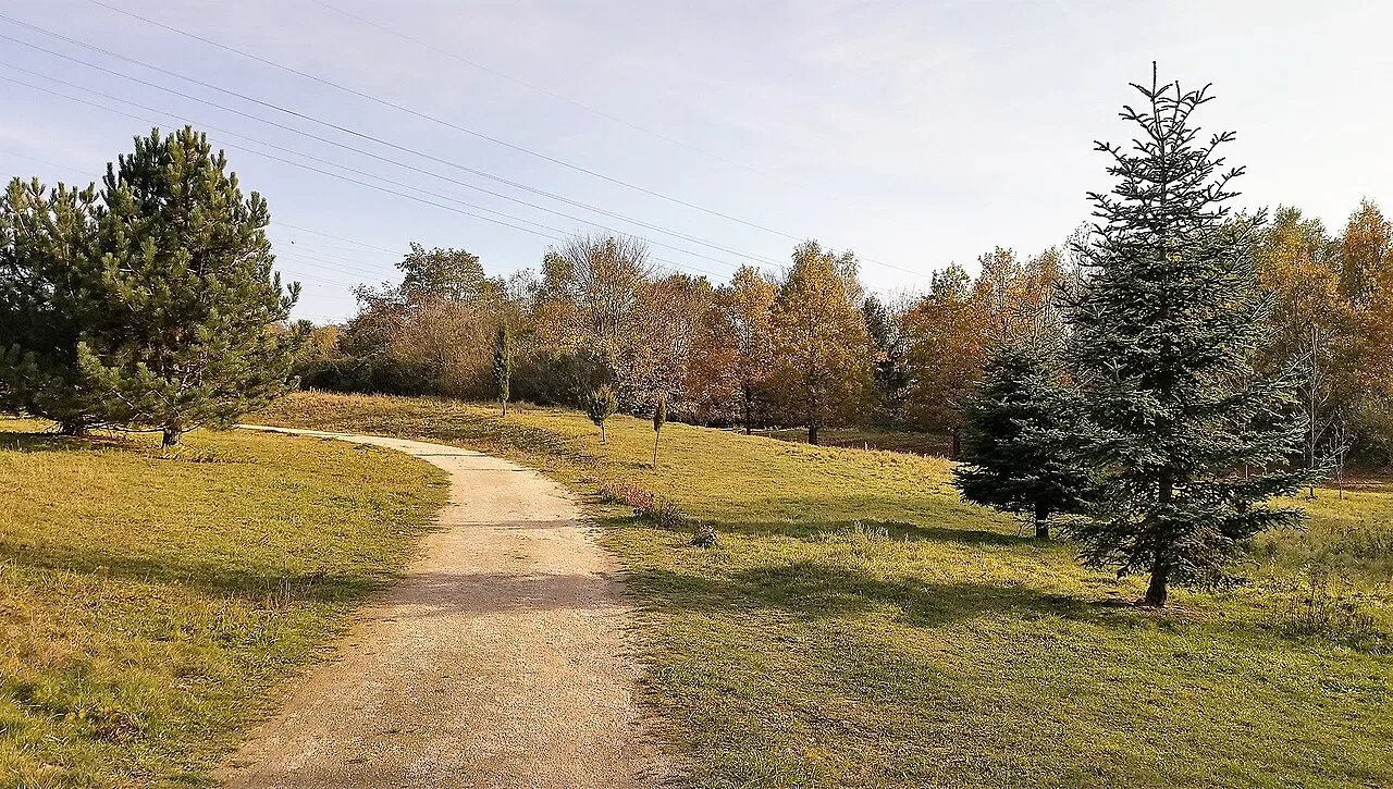
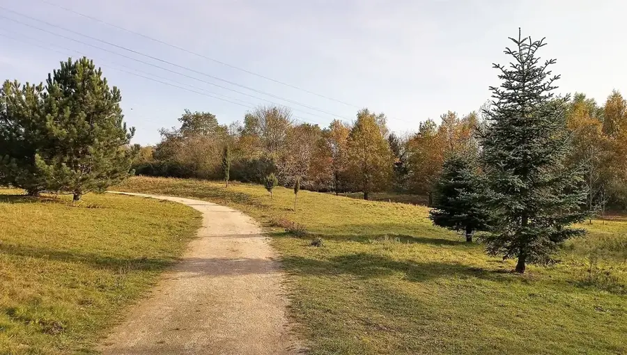
The Stafelter is a forested plateau located northeast of Luxembourg City and represents one of the most significant green zones in the center of the country. The area lies at an altitude of approximately 400 meters and is geologically characterized by Luxembourg sandstone, which forms a vital drinking water reservoir for the capital. The vegetation consists of extensive mixed beech and oak forests, providing shelter for numerous wildlife species. Historically, the Stafelter was significant as far back as Roman times, as the important 'Kiem' trade route connecting Reims to Trier passed through this area. During the sieges of the Luxembourg fortress in the 18th century, the plateau served as a strategic observation point for foreign troops. In modern times, the construction of the A7 motorway accessed the area, though efforts were made to preserve the forest's ecological value through green bridges and tunnels. The Stafelter remains a key recreational area for the urban population.
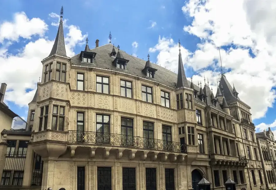
- Location: Luxembourg
- Top sights: Schetzelklaus · Schetzel · Geeschterhaischen
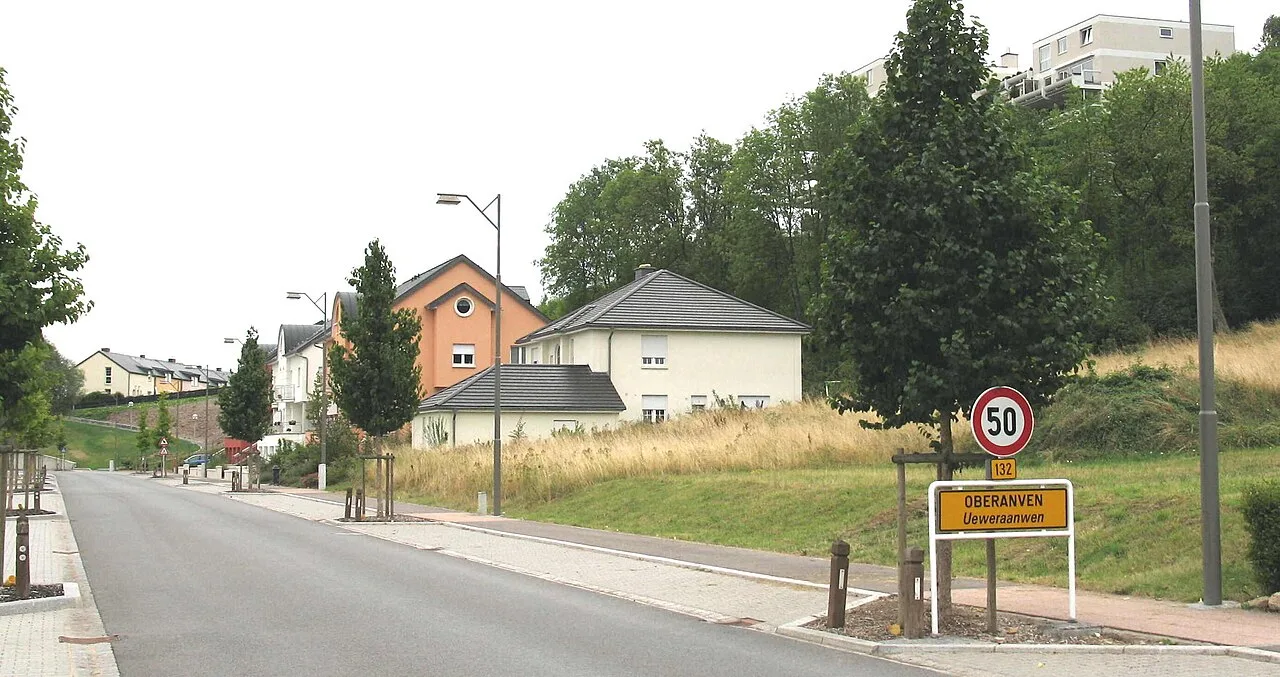
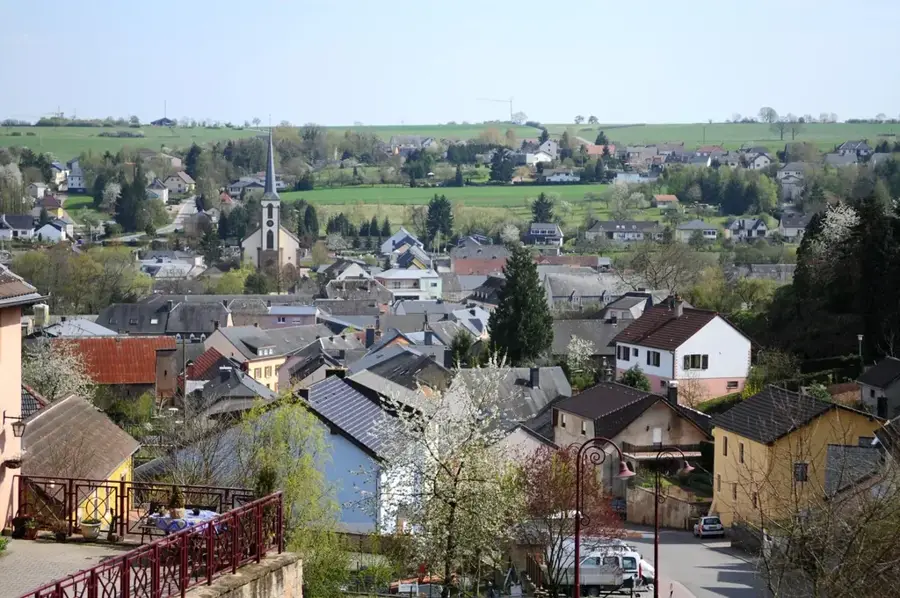
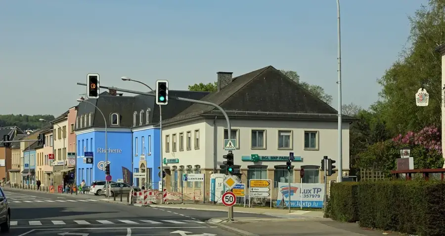
- Nearby: Steinsel (4 km)
Best time to visit & climate
The most pleasant time to visit is Jun–Aug.
| Jan | Feb | Mar | Apr | May | Jun | Jul | Aug | Sep | Oct | Nov | Dec | |
|---|---|---|---|---|---|---|---|---|---|---|---|---|
| Avg °C | 1 | 1 | 5 | 9 | 13 | 17 | 19 | 19 | 15 | 10 | 5 | 2 |
| Rain mm | 67 | 57 | 57 | 46 | 70 | 68 | 65 | 72 | 56 | 65 | 68 | 79 |
📋 Practical info
Geography
Facts
- The plateau is situated at an average altitude of approximately 400 meters.
- The Luxembourg sandstone underground is the country's most important aquifer.
- A Roman long-distance road (Kiem) once crossed the Stafelter area.
- The forest is part of the so-called 'Green Belt' around the capital city.
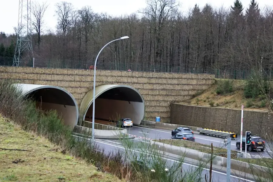
- The A7 motorway crosses the plateau through the 2.9 km long Stafelter Tunnel.
- The region is a designated nature conservation area under Natura 2000.
Explore nearby
Notable places around
Route planner — Car & Motorhome
Where do you start? We build the route here, with stops and country notes along the way.
© OpenStreetMap contributors · OpenRouteService
Sights in the town Stafelter (9)
Quanat 9
Quanat 9 is an archaeological site in Luxembourg.
Quanat 8
Quanat 8 is an archaeological site in Luxembourg.
Quanat 7
Quanat 7 is an archaeological site in Luxembourg.
Sonnebierg
Sonnebierg is a nature reserve in Luxembourg.
Gipsminen Walferdingen
Gipsminen Walferdingen are ruins in Luxembourg.
Sights nearby
Frequently asked questions
What is Stafelter?
Which historic road passed through here?
Is it good for hiking?
Are there monuments there?
How is the connection?
Stafelter: where is it located?
Stafelter: what is there to see?
Stafelter: when is the best time to visit?
Stafelter: why is it worth visiting?

Nearby cities


History & landmarks
Nature
More places