Plizio Visual Lab
Helperknapp
ℹ️Practical info — Helperknapp
▾
🌤 Weather — 5 days
📍 Nearby
Sights nearby
💡 Tips
- Hike up the Helperknapp hill early in the morning for a peaceful experience at the historic chapel.
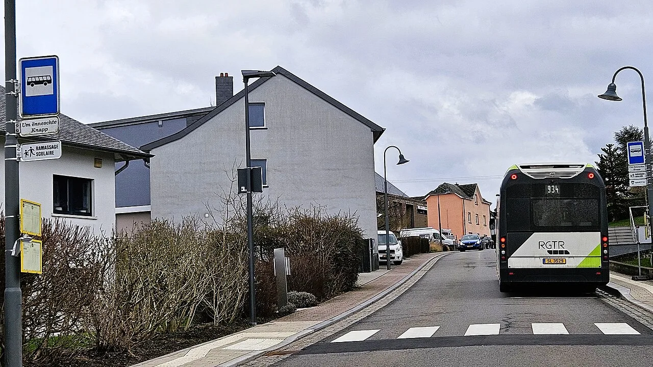
- Take advantage of the nationwide free public transport system; local buses connect the scattered villages efficiently.
- When hiking the Attert valley trails, wear sturdy, water-resistant shoes, as forest paths can be muddy.
- Check local commune boards for village festivals in Boevange-sur-Attert or Tuntange to experience authentic rural life.
- Parking is generally free and easy in the villages, but avoid blocking farm access roads.
🍽 Food
Try this traditional smoked pork collar with broad beans at a traditional local tavern (Auberge) in the area.
A meat pie encased in Riesling aspic, best bought fresh from a local village bakery for a hiking snack.
A comforting green bean soup, often served with potato pancakes, available in cozy rural restaurants.
🛍 Shopping · 🧘 Quiet spots
Look for small roadside farm stands or local grocers selling artisanal preserves from the Attert region.
Stop by the bakeries in the larger commune centers to pick up freshly baked Luxembourgish pastries.
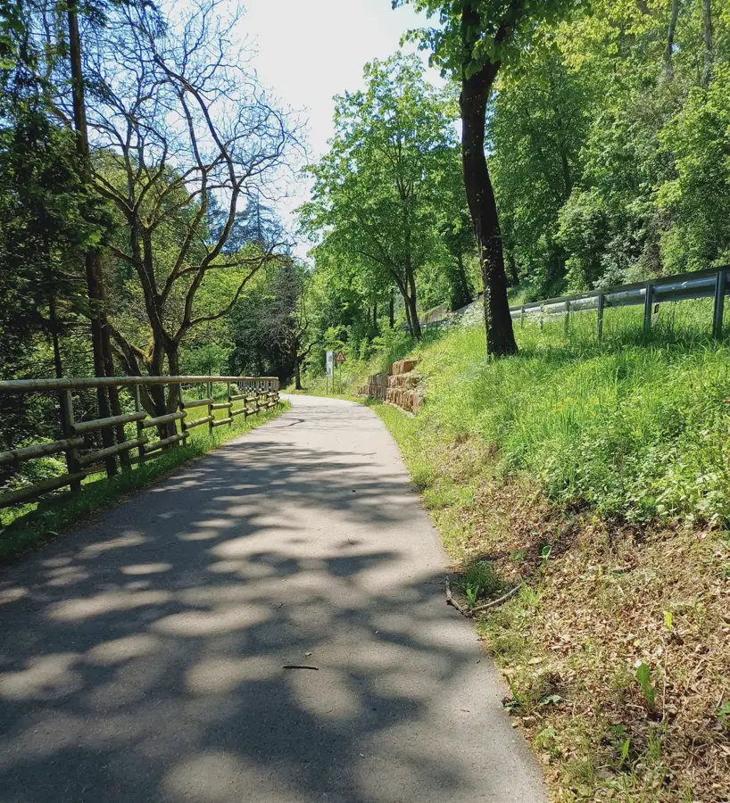
Follow the wooded trails around the Helperknapp hill for deep forest silence and historical ruins.
Find a quiet spot along the Attert river near Boevange for birdwatching or a peaceful afternoon picnic.
Water temperature…
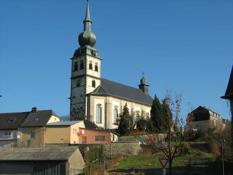
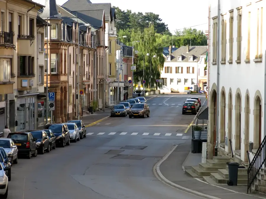
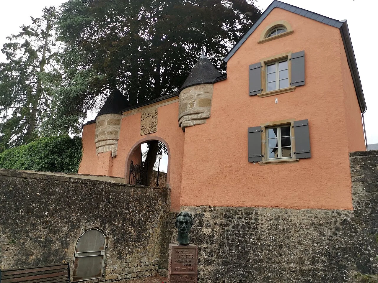
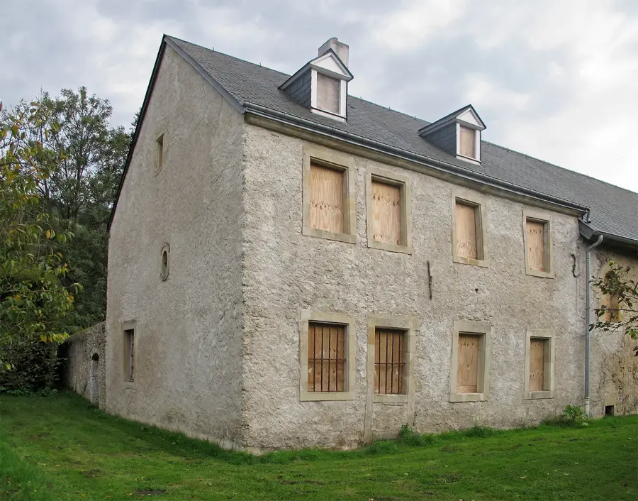
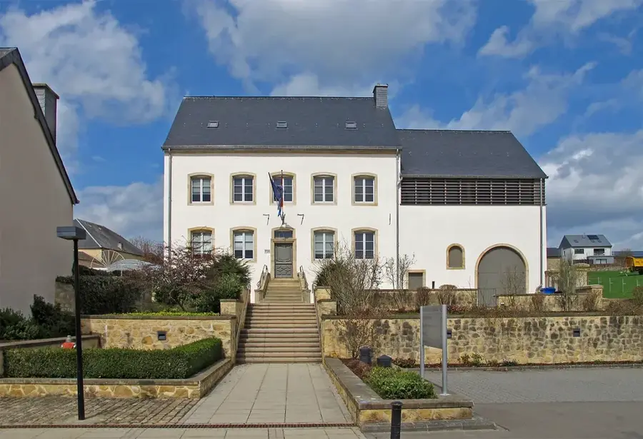
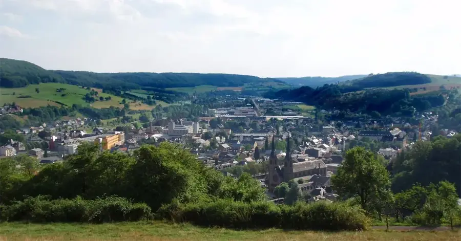
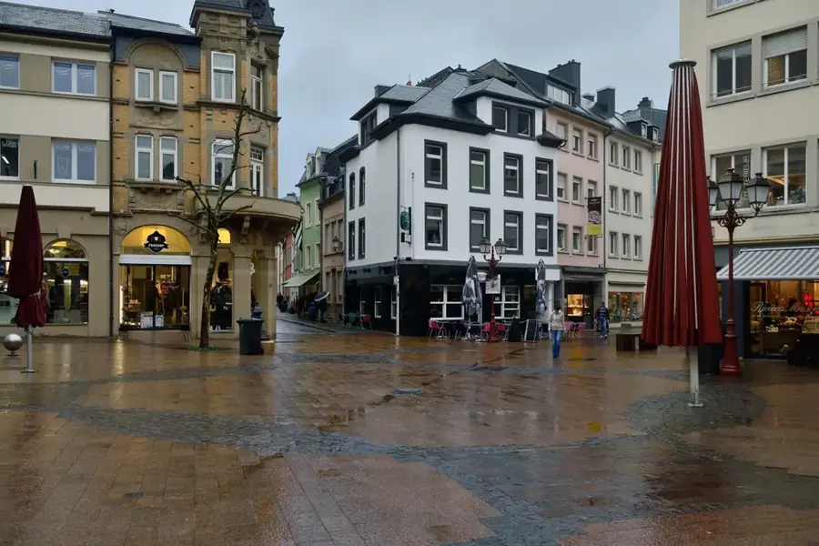
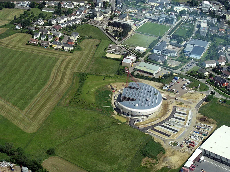
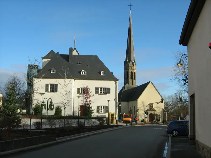
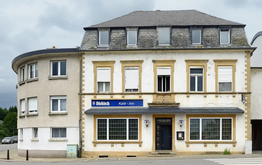
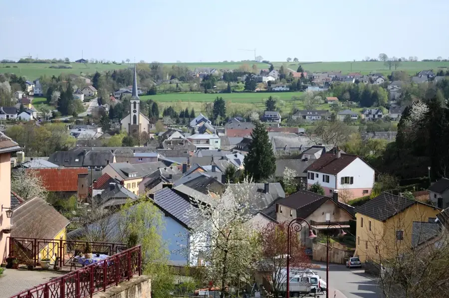
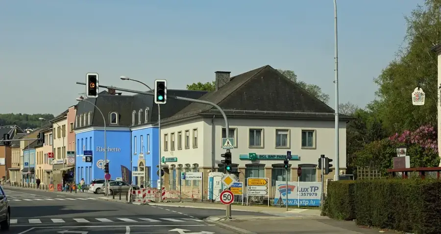
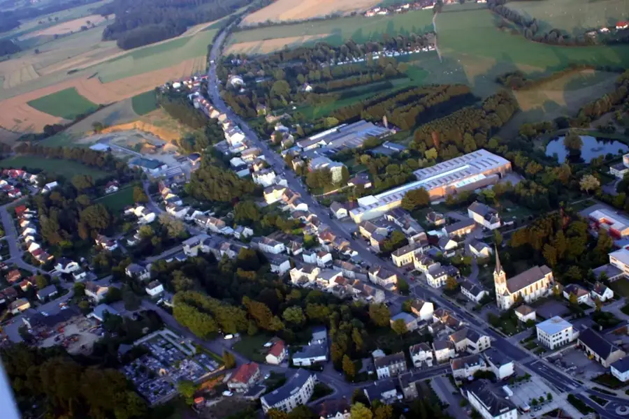
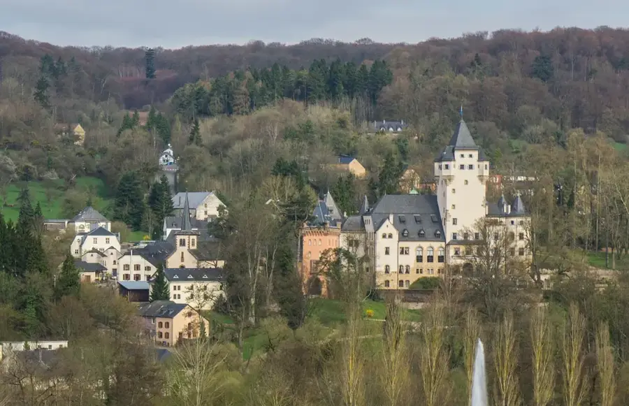
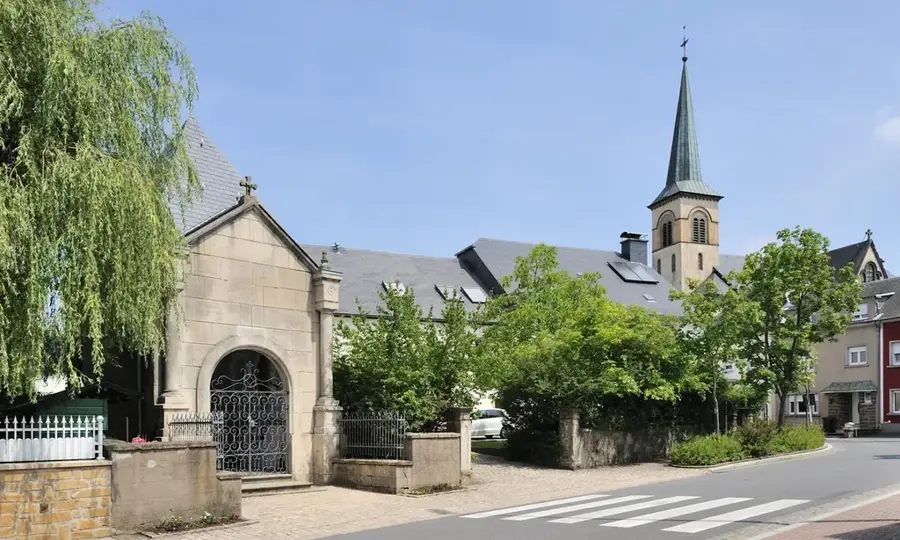
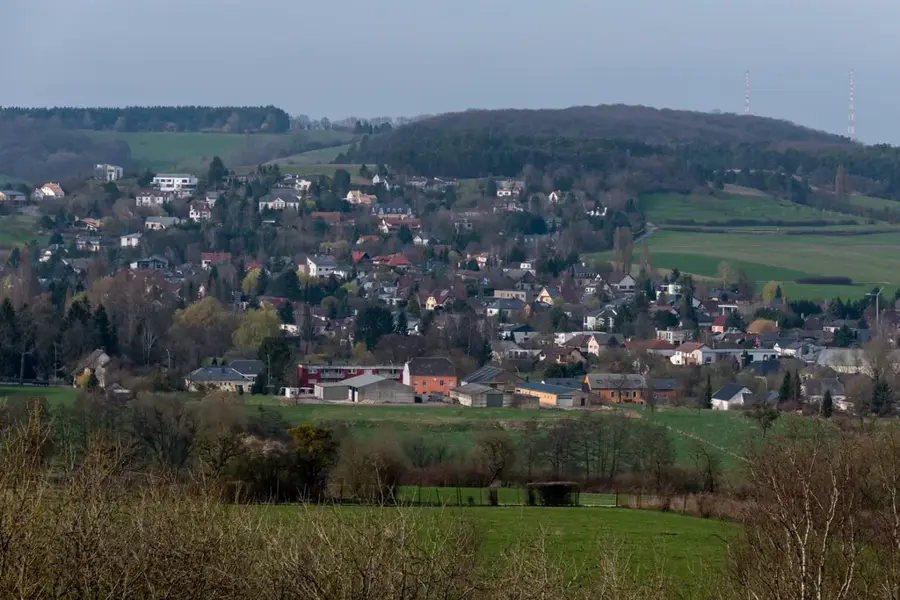
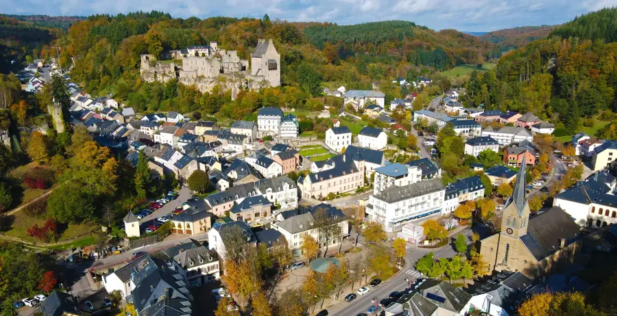
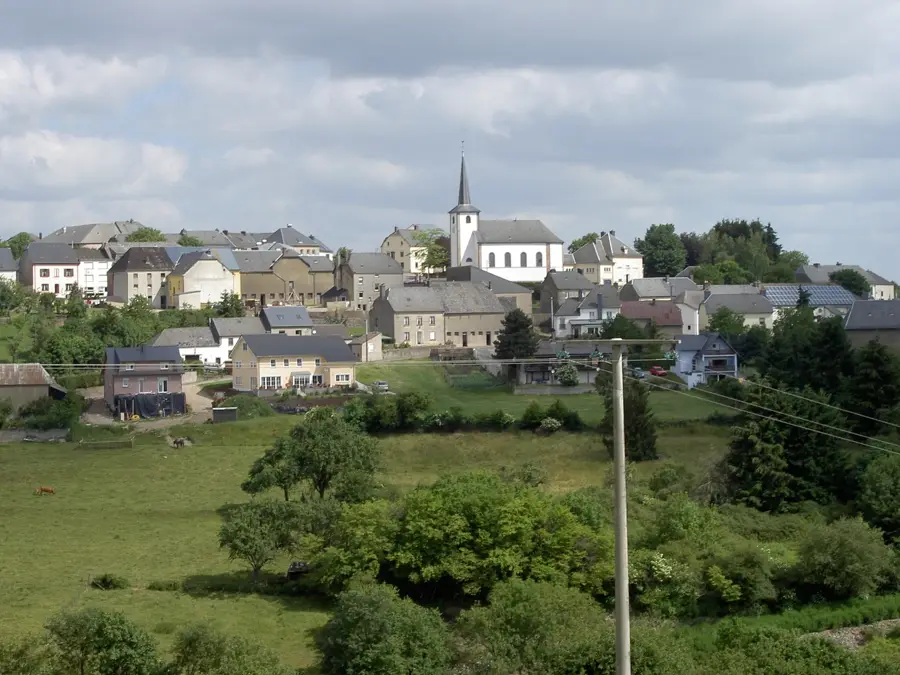
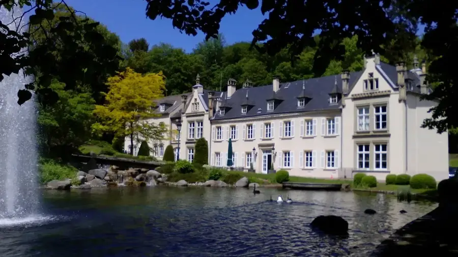
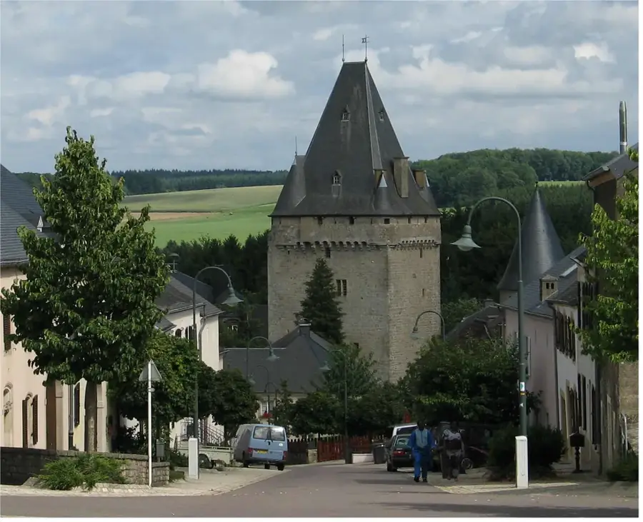
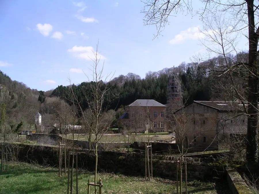
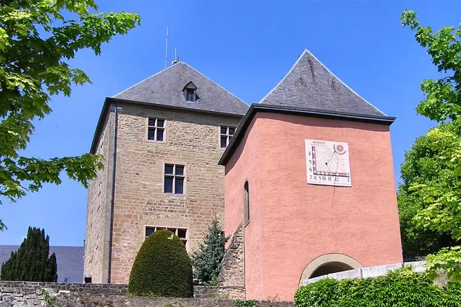
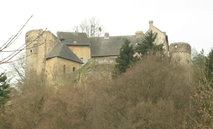
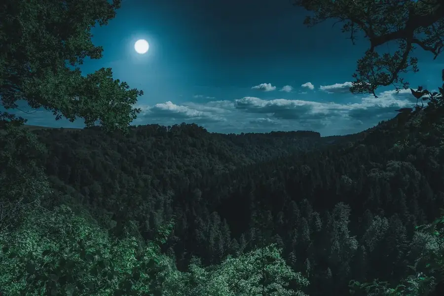
Helperknapp is a recently established merged municipality in the canton of Mersch, formed in 2018 through the union of Boevange-sur-Attert and Tuntange. The commune takes its name from the Helperknapp, a prominent hill standing 390 meters high, which has been a significant spiritual site and pilgrimage destination for centuries. At the hill's summit sits the Saint Willibrord chapel and a sacred spring, whose water was attributed miraculous powers during the Middle Ages. The landscape is defined by the idyllic Attert Valley, combining broad meadows with dense woodland. Architecturally, the municipality provides a blend of historic churches and modern residential areas that are steadily expanding due to its central location in Luxembourg. Today, Helperknapp serves as an important recreation area for hikers and cyclists seeking rural tranquility. The community actively maintains its local traditions, particularly the annual Helpermaart fair, which features a long historical heritage.
- Location: Luxembourg
- Top sights: Menhir of Reckingen · Tumulus Bill · Fensterdall Zone B
- Nearby: Mersch (4 km)
- Population: ~1.033
Best time to visit & climate
The most pleasant time to visit is Jun–Aug.
| Jan | Feb | Mar | Apr | May | Jun | Jul | Aug | Sep | Oct | Nov | Dec | |
|---|---|---|---|---|---|---|---|---|---|---|---|---|
| Avg °C | 1 | 1 | 5 | 9 | 13 | 17 | 19 | 19 | 15 | 10 | 5 | 2 |
| Rain mm | 67 | 57 | 57 | 46 | 70 | 68 | 65 | 72 | 56 | 65 | 68 | 79 |
Geography
Facts
- The municipality of Helperknapp was officially established on January 1, 2018.
- The Helperknapp hill was already inhabited during Celtic and Roman times.
- The chapel on the Helperknapp dates to 1900, replacing earlier structures.
- The Helpermaart fair is traditionally celebrated on Whit Monday.
- The municipal town hall is located in the village of Tuntange.
- The total area of the municipality is approximately 37.61 square kilometers.
Explore nearby
Notable places around
Route planner — Car & Motorhome
Where do you start? We build the route here, with stops and country notes along the way.
© OpenStreetMap contributors · OpenRouteService
Sights in the town Helperknapp (8)
Frequently asked questions
What is Helperknapp?
Is Helperknapp a new municipality?
What can you experience at Helpermaart?
Are there good viewpoints?
Are there cycling paths?
Helperknapp: where is it located?
Helperknapp: what is there to see?
Helperknapp: when is the best time to visit?
Helperknapp: why is it worth visiting?

Nearby cities


History & landmarks
Nature

More places