Plizio Visual Lab
Pavištytis Hill
Weather…
Water temperature…
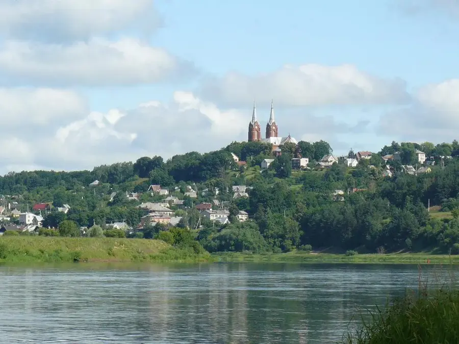
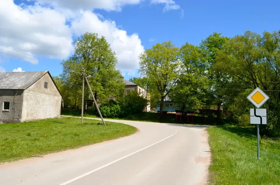
At an elevation of 282.4 meters, Pavištytis is the highest point of the Sūduva Highland, located in the extreme southwestern corner of Lithuania. The hill is positioned within the scenic landscape of the Vištytis Regional Park, situated in close proximity to the tripoint border connecting Lithuania, Poland, and the Russian exclave of Kaliningrad. Formed by massive glacial deposits during the last ice age, Pavištytis today presents itself as a gentle elevation covered by dense forests and cultivated agricultural fields. The region surrounding the hill has exceptionally fertile soils, making it one of the country's most vital agricultural areas. Hiking trails meander through the tranquil natural environment, heavily influenced by the nearby crystal-clear waters of Lake Vištytis.
- Location: Lithuania
- Top sights: Takas „Šaltinėlis“ · Šilelio pažintinis takas · Žvilgsnis į Romintą
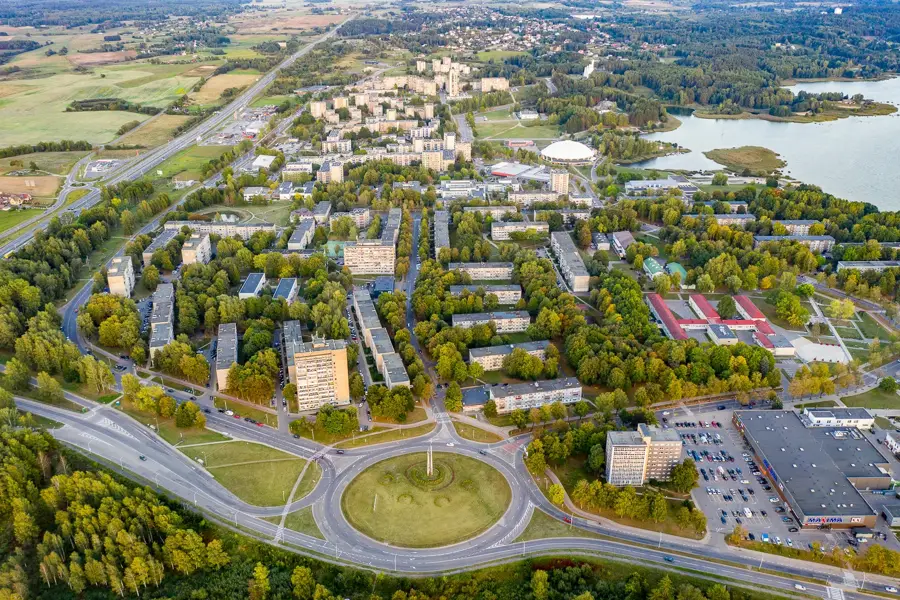
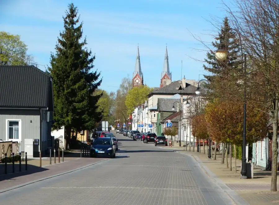
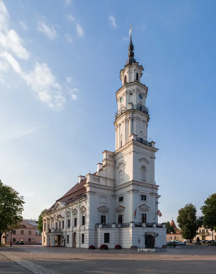
- Nearby: Kybartai (28 km)
Best time to visit & climate
The most pleasant time to visit is Jun–Aug.
| Jan | Feb | Mar | Apr | May | Jun | Jul | Aug | Sep | Oct | Nov | Dec | |
|---|---|---|---|---|---|---|---|---|---|---|---|---|
| Avg °C | -5 | -4 | 1 | 7 | 13 | 16 | 18 | 18 | 13 | 7 | 3 | -2 |
| Rain mm | 56 | 43 | 44 | 40 | 65 | 80 | 95 | 85 | 59 | 66 | 57 | 55 |
📋 Practical info
Geography
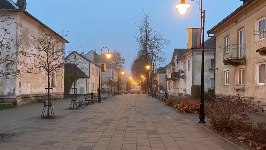
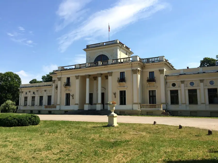
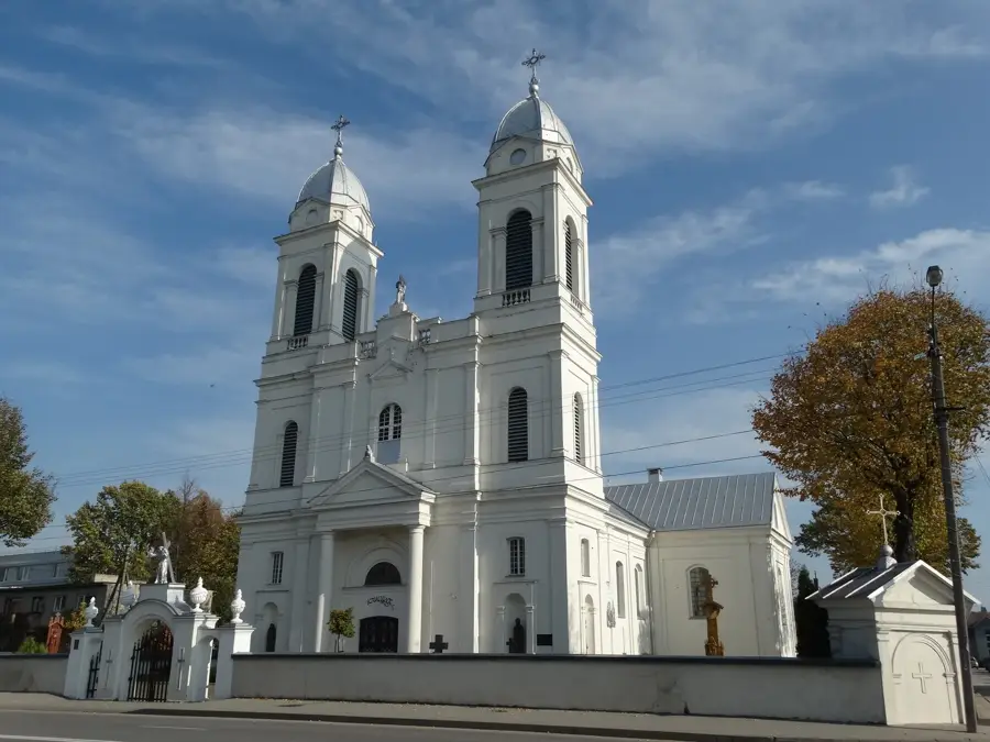
Explore nearby
Notable places around
Route planner — Car & Motorhome
Where do you start? We build the route here, with stops and country notes along the way.
© OpenStreetMap contributors · OpenRouteService
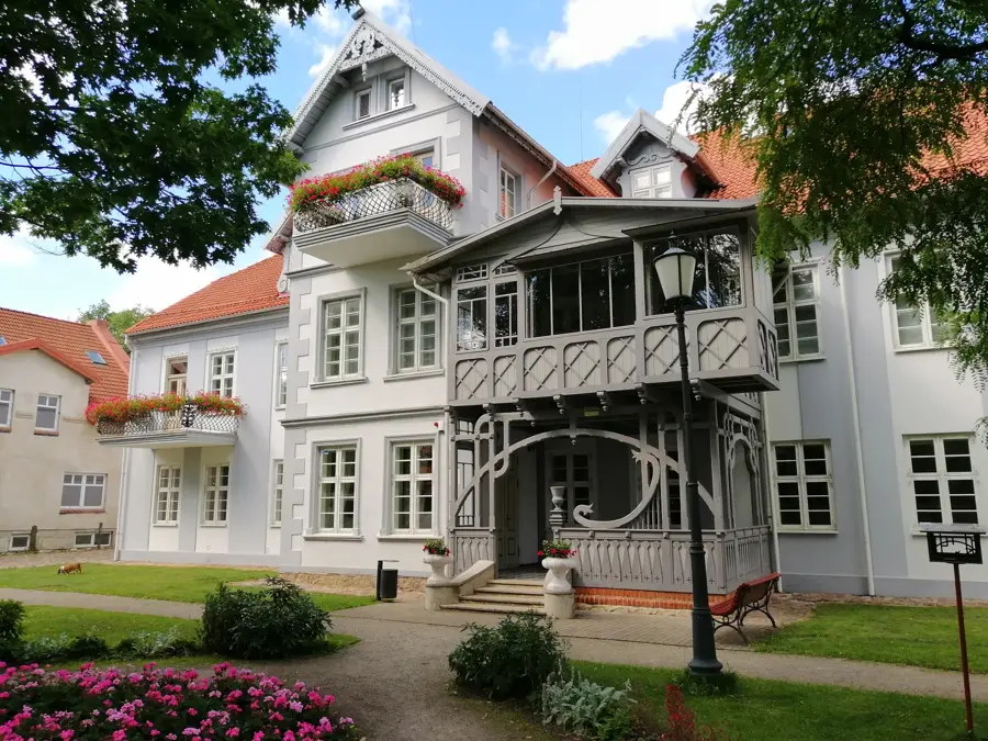
Sights in the town Pavištytis Hill (5)
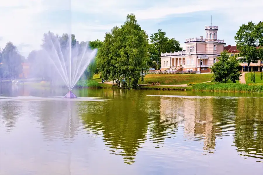
Sights nearby
Frequently asked questions
Where is the Pavištytis Hill located?
How high is the Pavištytis?
Is there an observation tower there?
What can you see from the summit?
Are there legends about this place?
Pavištytis Hill: where is it located?
Pavištytis Hill: what is there to see?
Pavištytis Hill: when is the best time to visit?
Pavištytis Hill: why is it worth visiting?

Nearby cities