Plizio Visual Lab
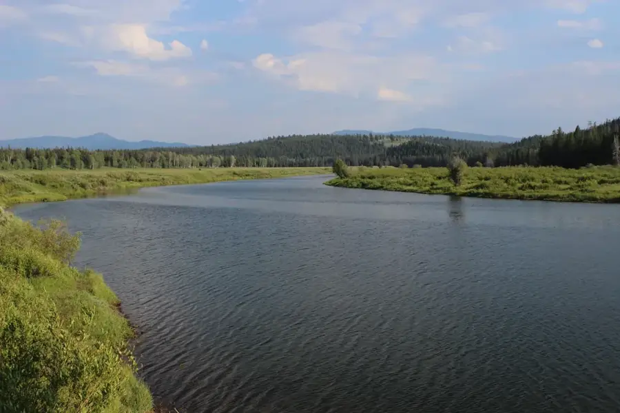
Makhomalong Range

Weather…
Water temperature…
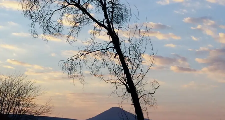
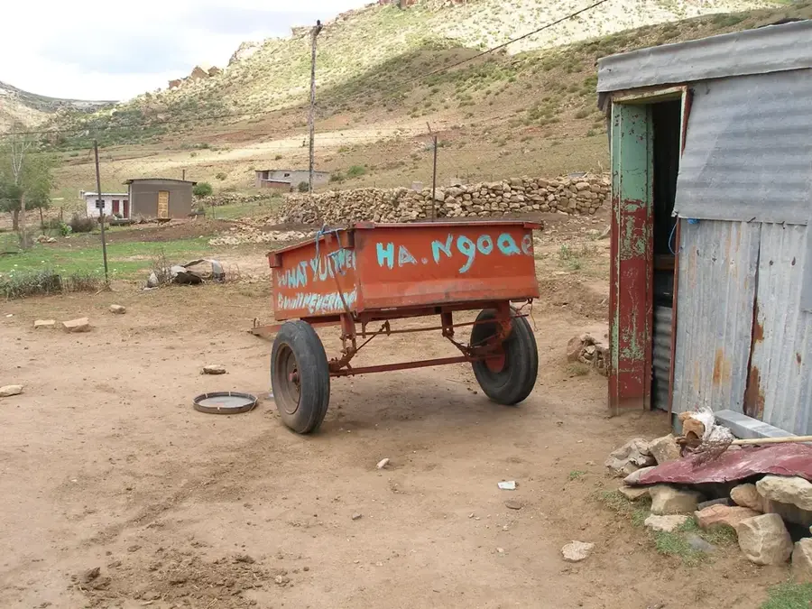
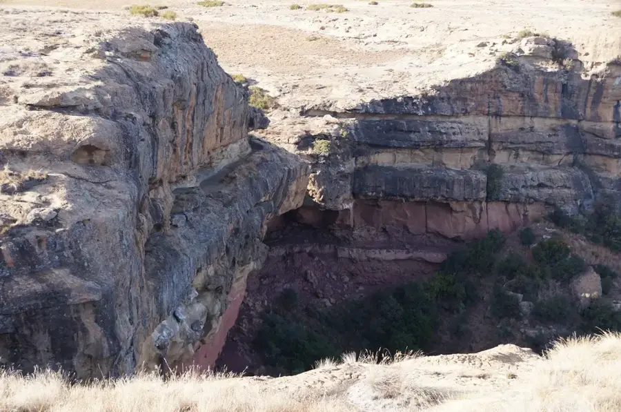
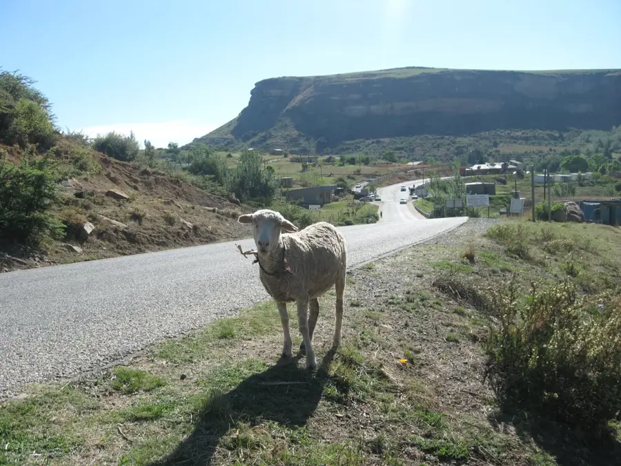
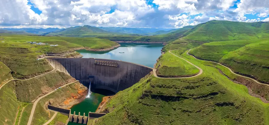
The Makhomalong Range is a dramatic mountain chain in northern Lesotho, forming a significant offshoot of the extensive Maloti massif. Known for its rugged and unforgiving topography, the range features sharp basalt peaks reaching over 3000 meters and deep-cut gorges that showcase the immense power of natural erosion. This high-altitude region serves as a critical watershed, where numerous mountain streams originate before flowing down to feed the major rivers of the southern African lowlands. The landscape is characterized by its wild, untouched beauty, offering dramatic vistas that attract trekkers and mountaineers seeking true solitude. Over millennia, environmental forces have carved unique rock formations and steep escarpments that define the area's visual identity. Despite its harsh climate and challenging terrain, the Makhomalong Range remains a vital part of Lesotho's ecological heritage, representing the raw, untamed spirit of the African highlands.
- Location: Lesotho
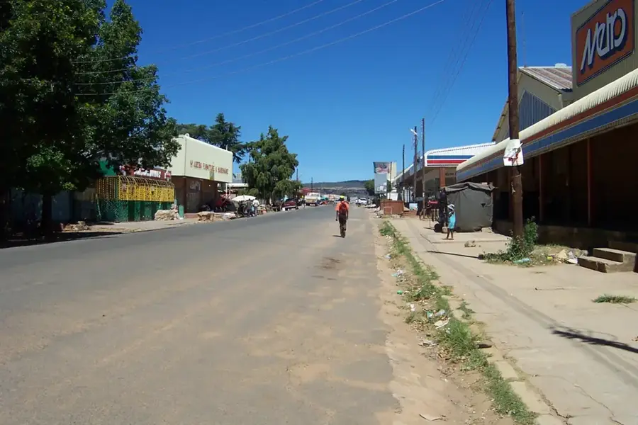
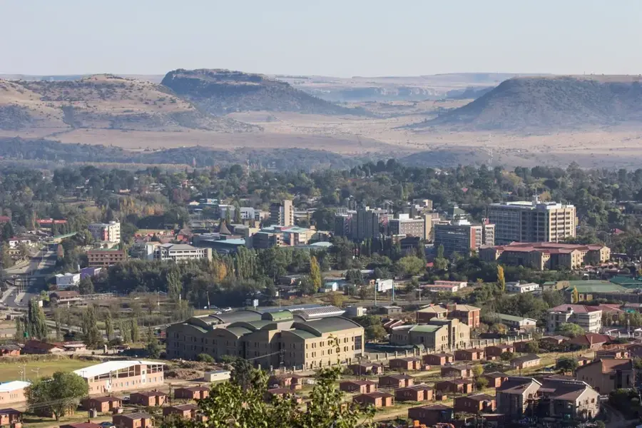
- Nearby: Hlotse (5 km)
Best time to visit & climate
The most pleasant time to visit is Jan–Mar.
| Jan | Feb | Mar | Apr | May | Jun | Jul | Aug | Sep | Oct | Nov | Dec | |
|---|---|---|---|---|---|---|---|---|---|---|---|---|
| Avg °C | 20 | 19 | 17 | 13 | 10 | 7 | 7 | 9 | 13 | 16 | 17 | 19 |
| Rain mm | 115 | 94 | 80 | 54 | 17 | 18 | 8 | 21 | 22 | 65 | 95 | 112 |
📋 Practical info
Geography
Facts
- The highest peak in the Makhomalong Range reaches 3,214 meters (10,545 feet) above sea level.
- The range extends for approximately 45 kilometers (28 miles) from north to south.
- The basalt formations are part of the Karoo-Ferrar Large Igneous Province, dated to the Early Jurassic (about 183 million years ago).
- Annual precipitation ranges from 800 mm in the lower slopes to over 1,200 mm on the highest ridges.
- The range is the source of the Senqu River, which flows for 355 km before joining the Orange River.
- The vegetation includes alpine tundra above 3,000 m, with species such as the Lesotho alpine rose (Erica ceraria).
Explore nearby
Notable places around
Route planner — Car & Motorhome
Where do you start? We build the route here, with stops and country notes along the way.
© OpenStreetMap contributors · OpenRouteService
Sights in the town Makhomalong Range (1)
Sights nearby
Frequently asked questions
What is the Makhomalong Range?
Are there marked hiking trails in the range?
Is the area safe for solo hikers?
What wildlife can be seen?
When does it snow there?
Makhomalong Range: where is it located?
Makhomalong Range: when is the best time to visit?
Makhomalong Range: why is it worth visiting?

Nearby cities
History & landmarks
Nature
More places