Plizio Visual Lab
Nahr el-Barid River
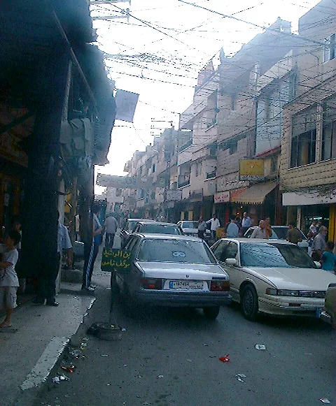
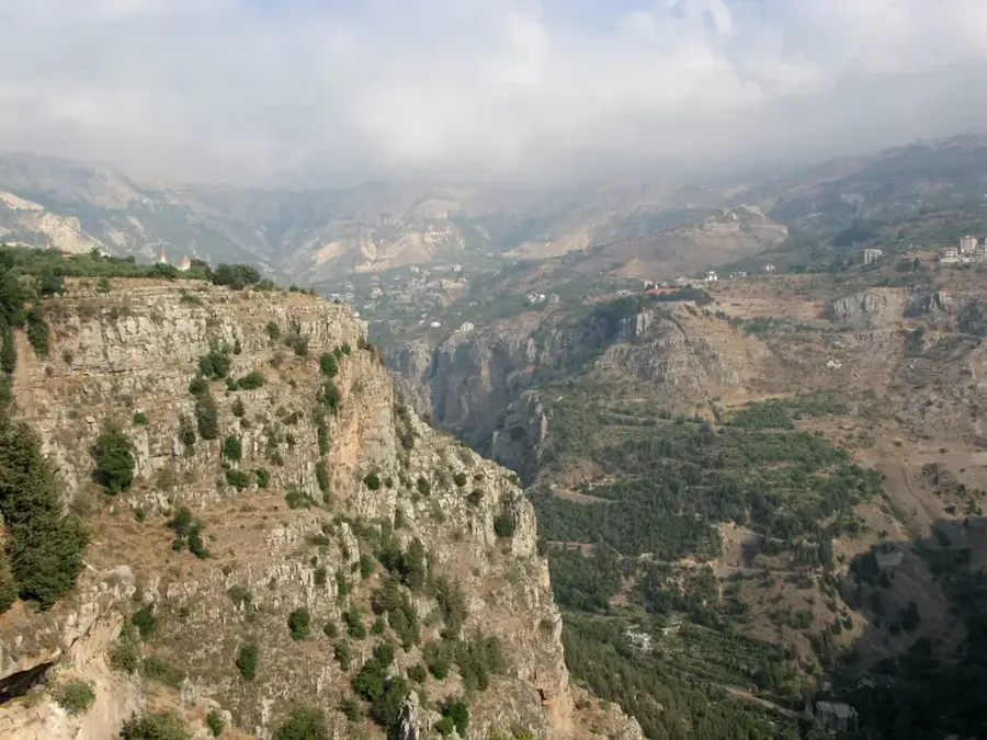
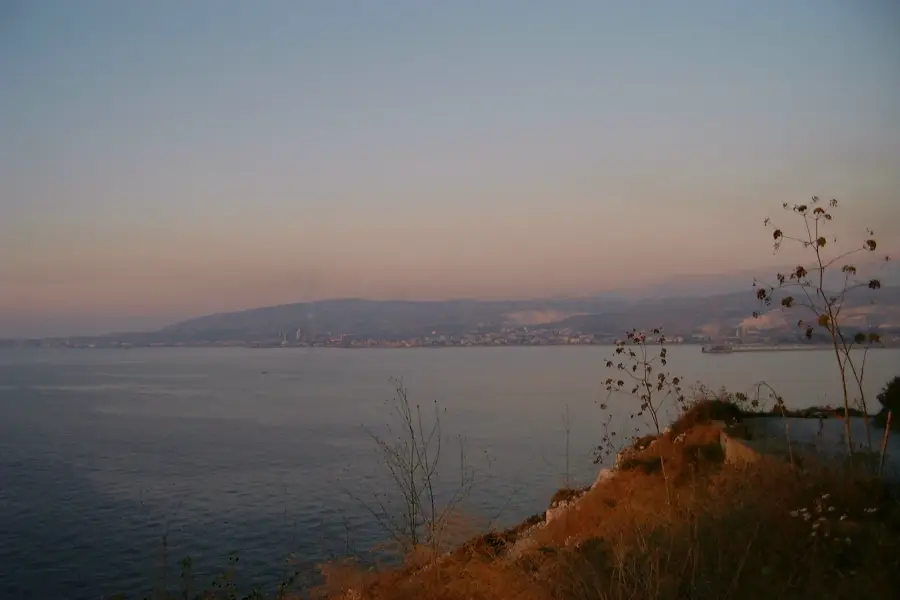
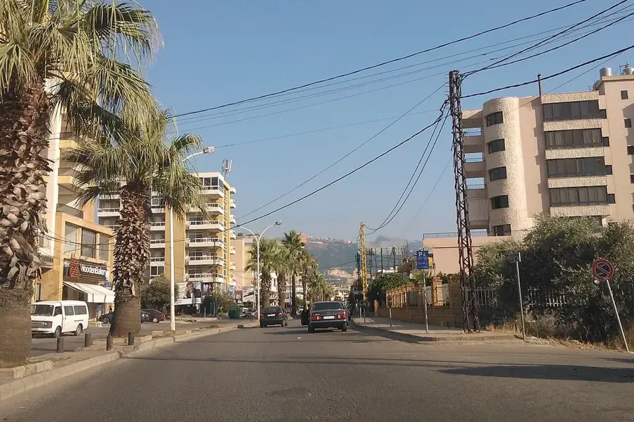
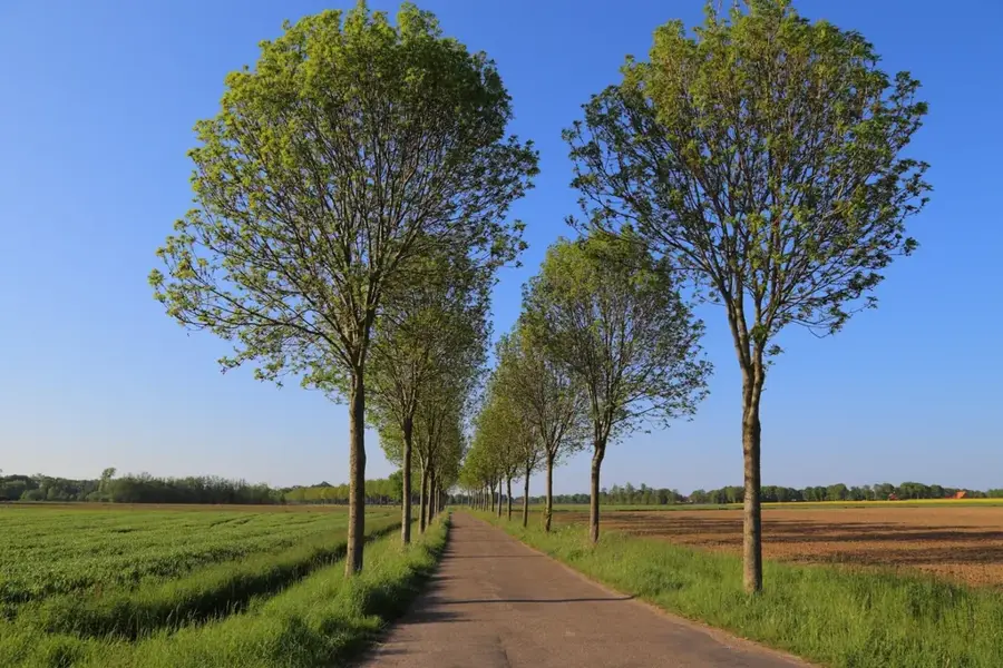
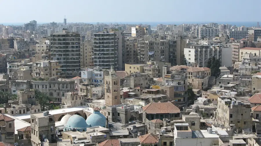
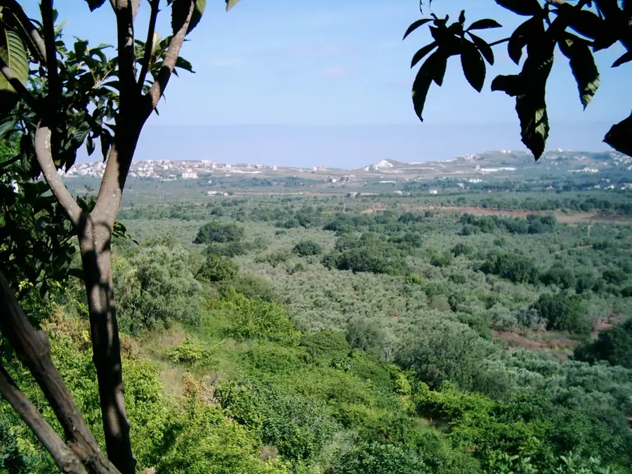
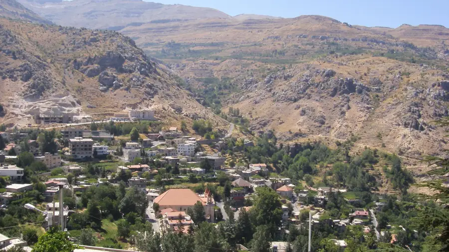
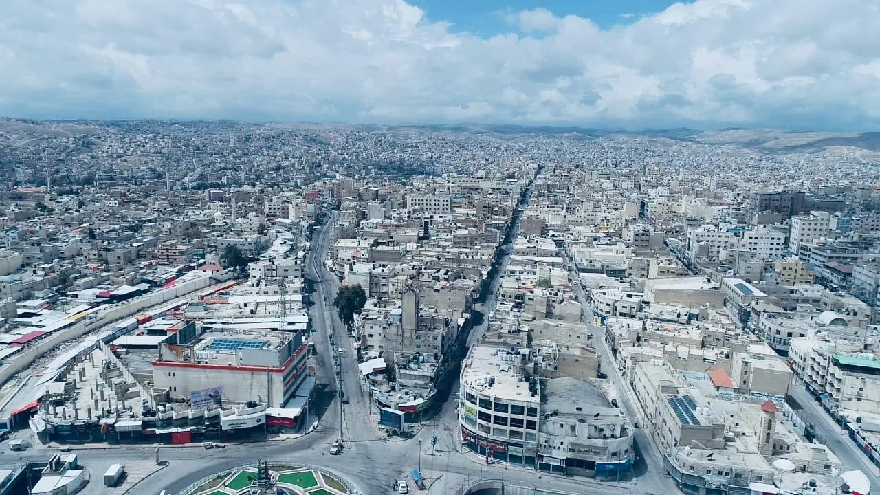
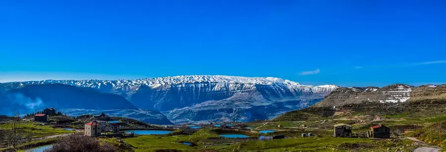
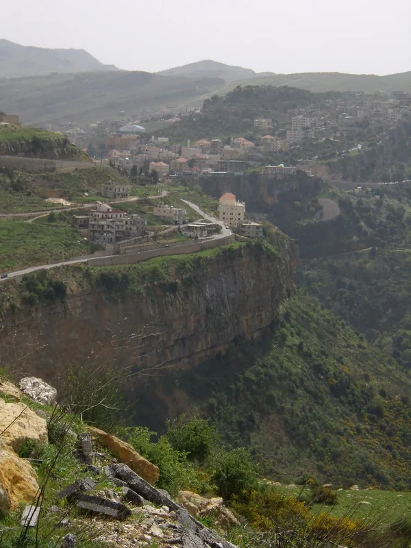
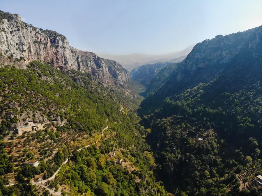
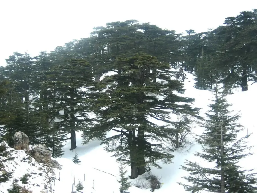
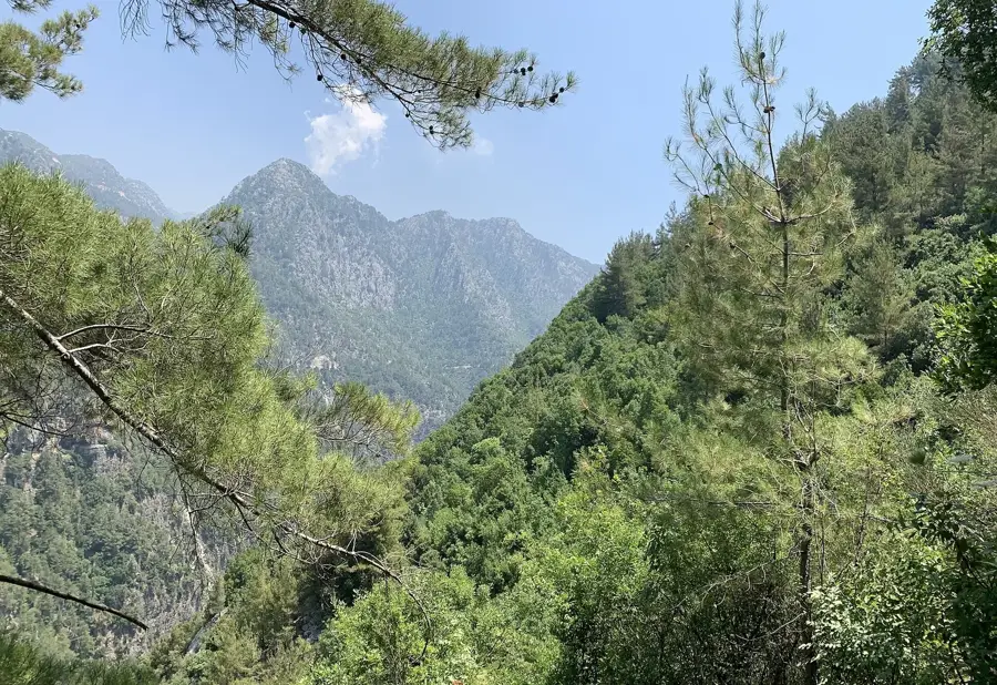
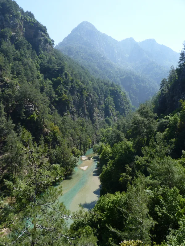
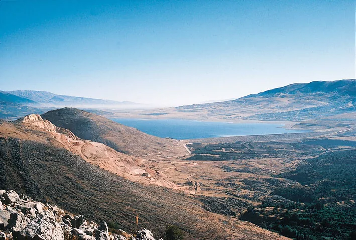
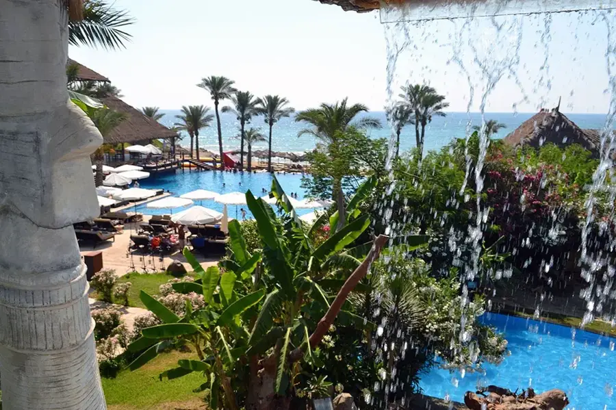
The Nahr el-Barid, which translates to "the Cold River," originates in the rugged Makmel Mountains and flows through the Akkar district of North Lebanon before reaching the Mediterranean Sea north of Tripoli. True to its name, the river maintains a low water temperature even during the peak of summer, fed by the melting snow caps of the Lebanese highlands. This perennial water source is the lifeblood of the local economy, providing essential irrigation for the vast olive groves, citrus orchards, and vegetable farms that define the region's landscape. Historically, the river valley served as a natural corridor connecting coastal settlements with the mountainous interior. Despite modern environmental pressures, the river remains a critical ecosystem, supporting diverse riparian vegetation and local wildlife in a largely arid Mediterranean climate.
- Location: Lebanon
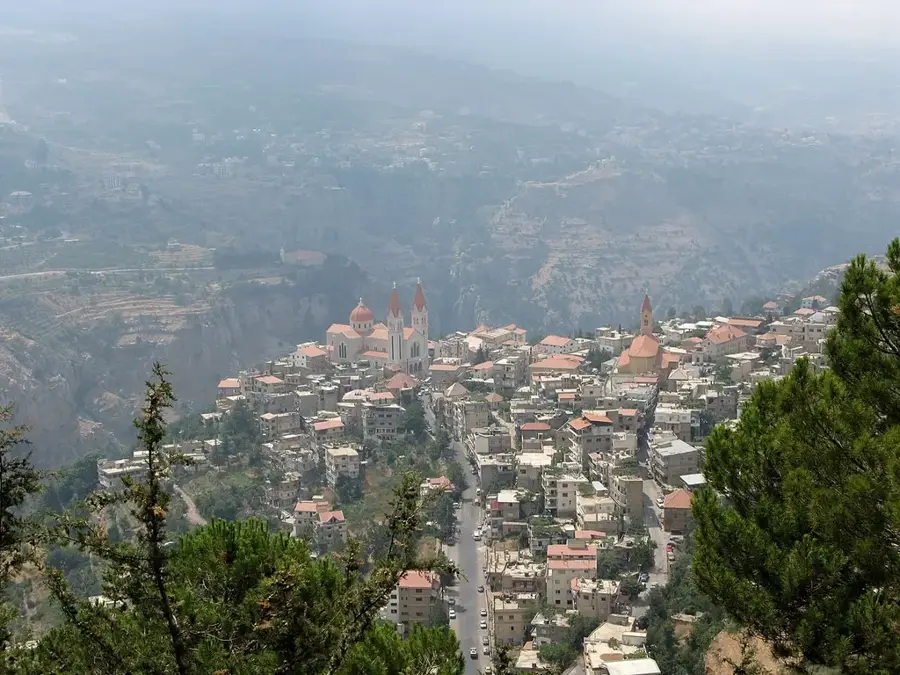
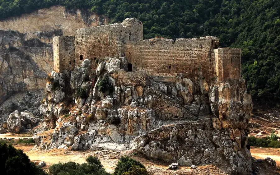
- Top sights: Mathanet Aadoui · St. Mary Church
- Nearby: Zgharta (11 km)
Best time to visit & climate
The most pleasant time to visit is May, Jun, Sep.
| Jan | Feb | Mar | Apr | May | Jun | Jul | Aug | Sep | Oct | Nov | Dec | |
|---|---|---|---|---|---|---|---|---|---|---|---|---|
| Avg °C | 6 | 7 | 10 | 14 | 19 | 23 | 25 | 25 | 23 | 19 | 13 | 8 |
| Rain mm | 91 | 68 | 44 | 24 | 12 | 4 | 1 | 1 | 9 | 23 | 46 | 71 |
📋 Practical info
Geography
Facts
- Length: 30 km
- Catchment area: 200 km²
- Maximum flow rate: 15 m³/s
- Annual rainfall: 700 mm
- Number of springs: 10
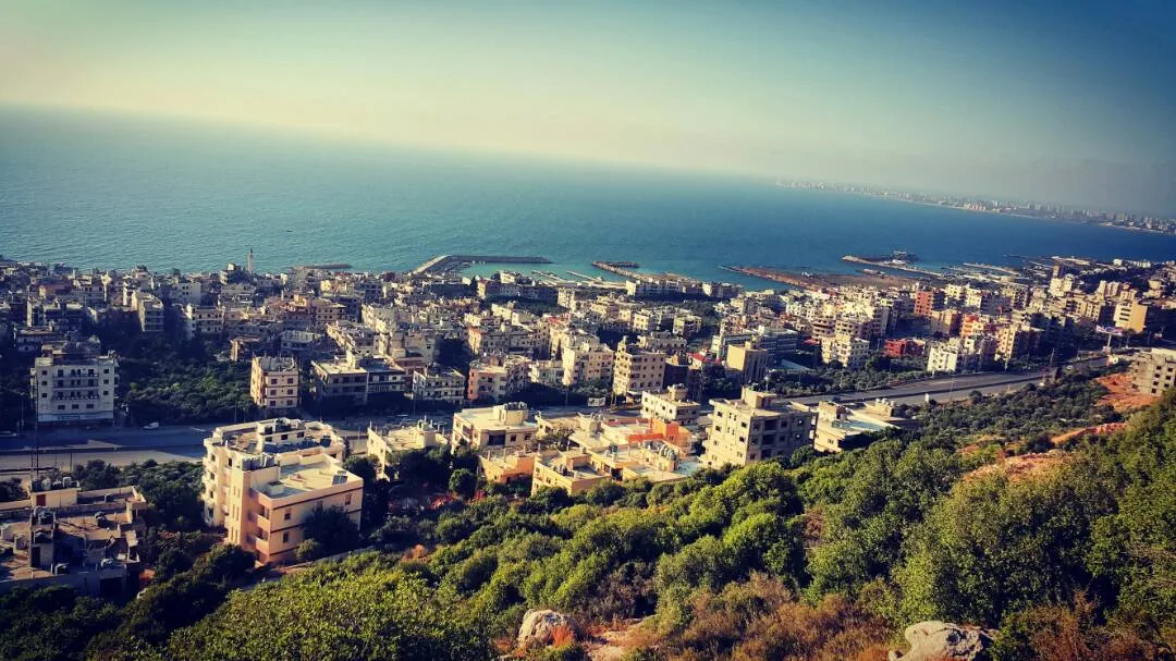
- Mouth: Mediterranean north of Tripoli
Explore nearby
Notable places around
Route planner — Car & Motorhome
Where do you start? We build the route here, with stops and country notes along the way.
© OpenStreetMap contributors · OpenRouteService
Sights in the town Nahr el-Barid River (2)
Sights nearby
Frequently asked questions
Where does the Nahr el-Barid flow?
What does the name mean?
Are there dams there?
Is the valley scenic?
Can you go fishing there?
Nahr el-Barid River: where is it located?
Nahr el-Barid River: what is there to see?
Nahr el-Barid River: when is the best time to visit?
Nahr el-Barid River: why is it worth visiting?

Nearby cities

History & landmarks

Nature

More places