Plizio Visual Lab
Akkar Plateau
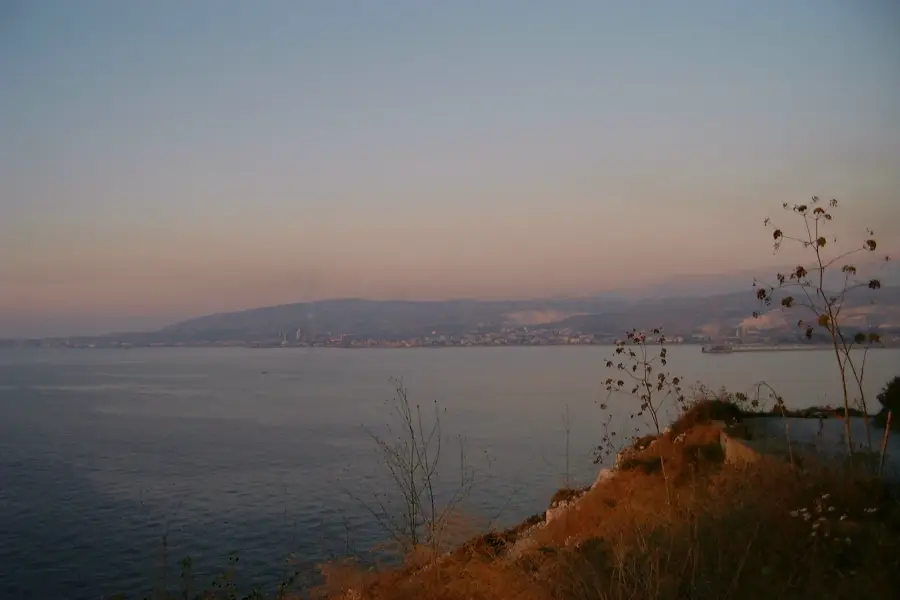
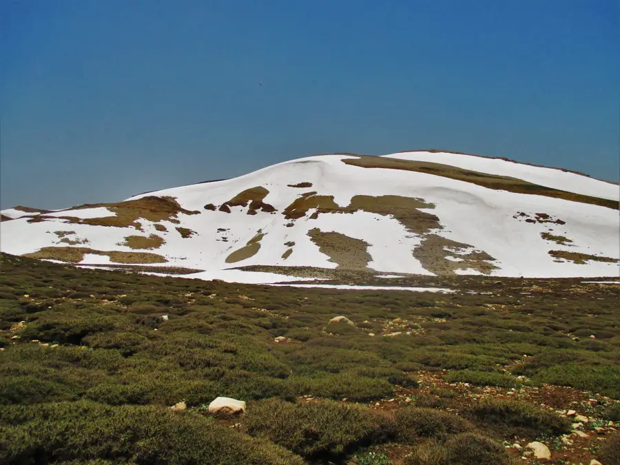
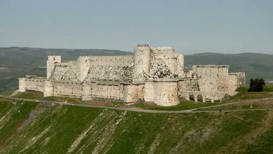
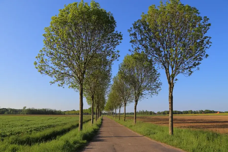
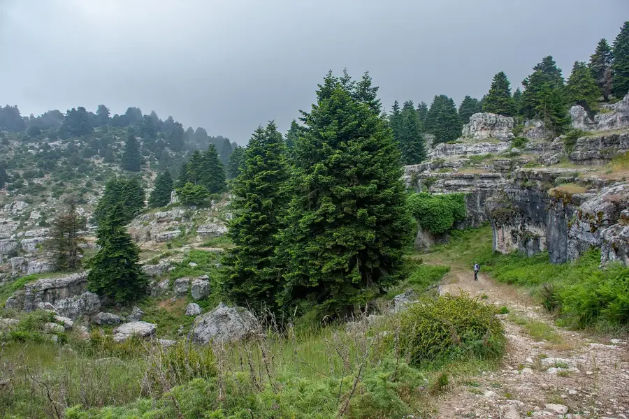
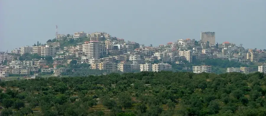
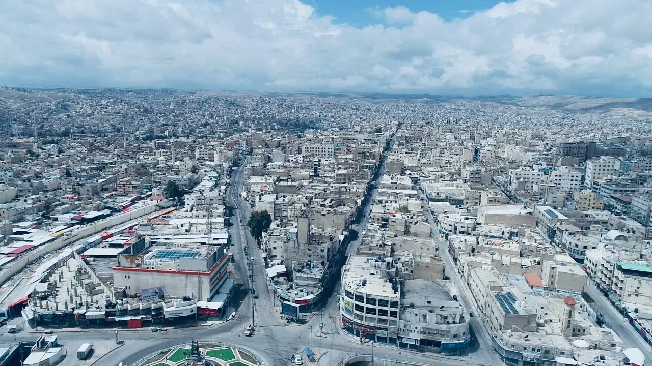
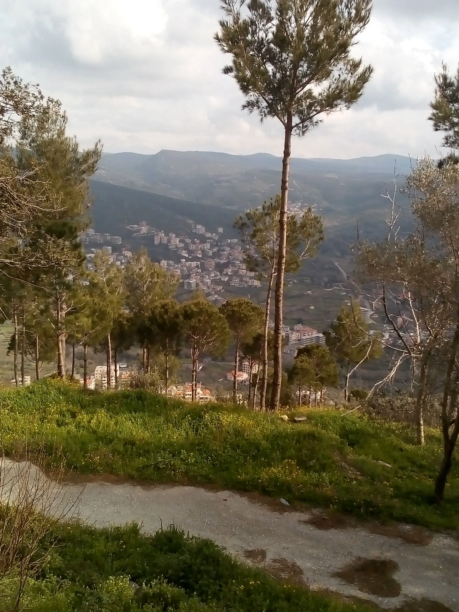
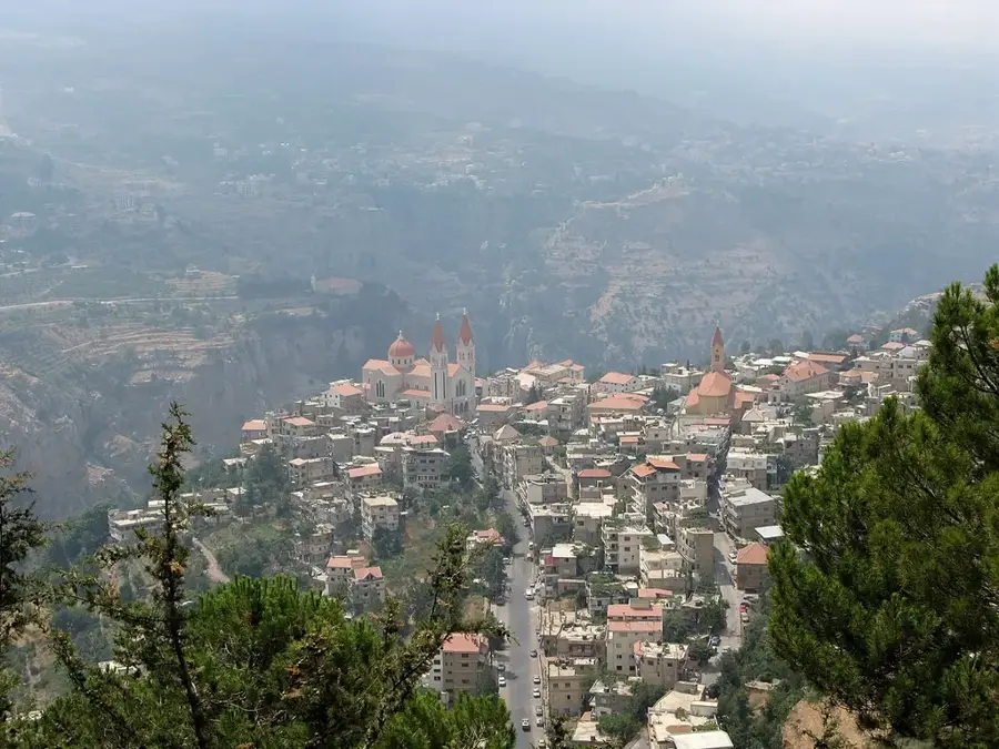
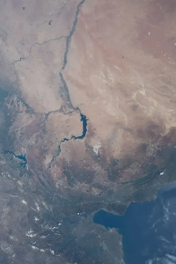
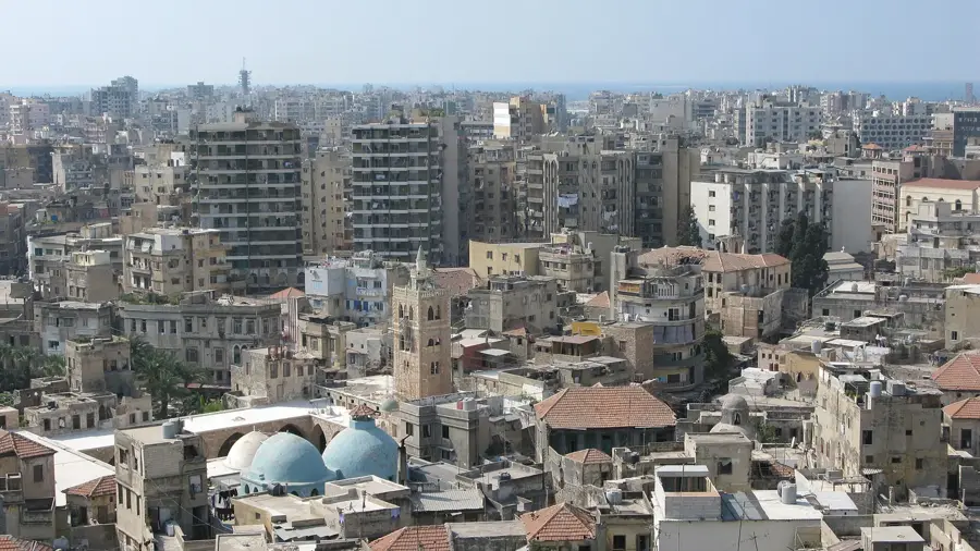
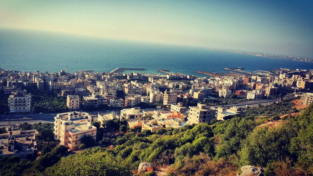
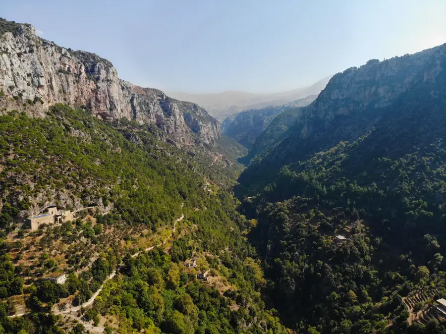
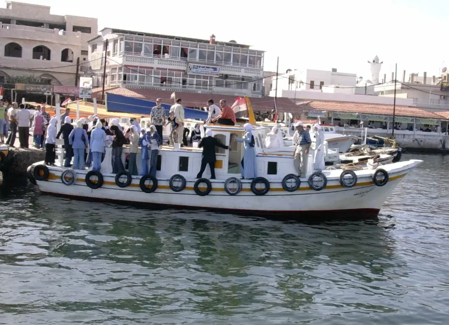
The Akkar Plateau in northern Lebanon is a vital geographic region extending from the Mediterranean coast to the foothills of the Mount Lebanon range. It forms the southern part of the Homs Gap, a strategic lowland corridor between the Lebanese and Alawite mountains. The plateau is characterized by rich alluvial soils deposited by rivers such as the Nahr al-Kabir, which marks the international border with Syria. Historically, the area served as a crucial transit route for trade caravans and military forces moving between the coast and the Syrian interior. Today, it is considered Lebanon's primary agricultural hub, producing significant quantities of cereals, potatoes, and citrus fruits. The landscape is dotted with numerous small farming communities and the administrative center of Halba. Despite its economic contribution to the national food supply, the region remains largely rural and faces developmental challenges compared to the country's central urban areas.
- Location: Lebanon
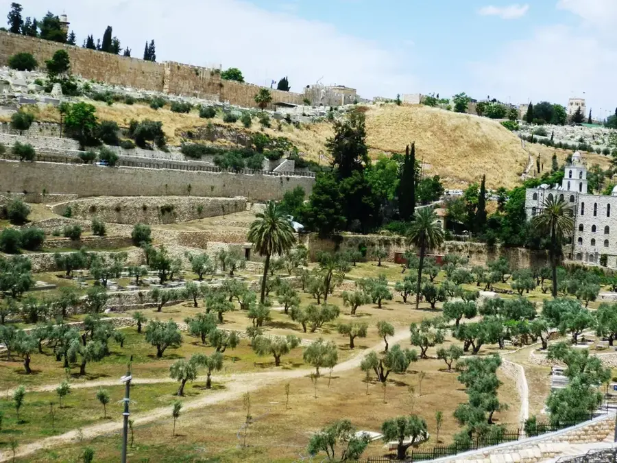
- Top sights: Deir Mar Jeryos · St. George Church · Grand Tall Maayan Mosque
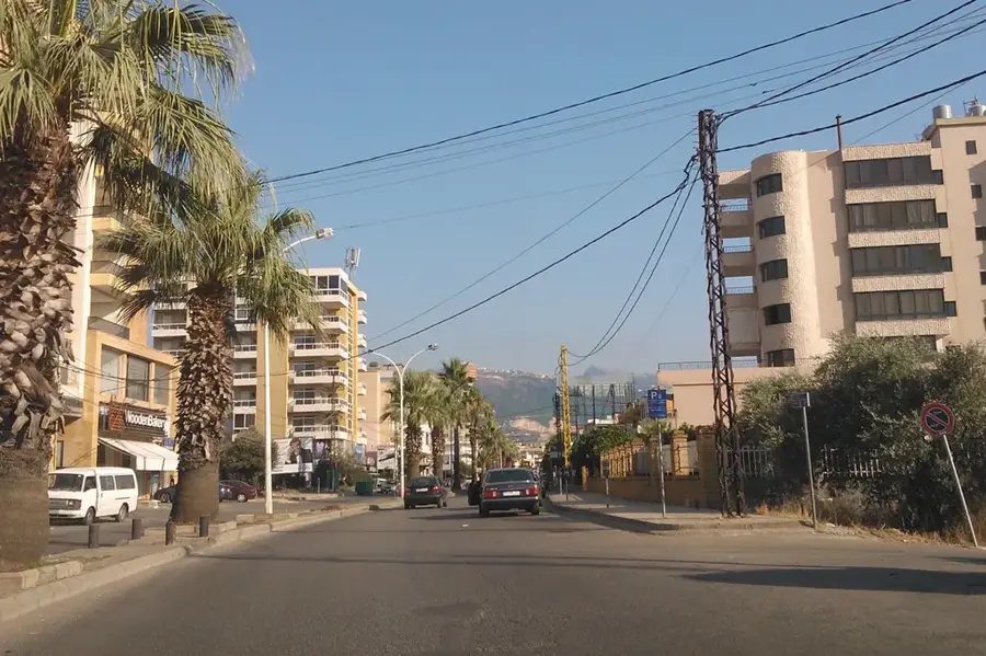
- Nearby: Halba (6 km)
Best time to visit & climate
The most pleasant time to visit is May, Jun, Sep.
| Jan | Feb | Mar | Apr | May | Jun | Jul | Aug | Sep | Oct | Nov | Dec | |
|---|---|---|---|---|---|---|---|---|---|---|---|---|
| Avg °C | 6 | 7 | 10 | 14 | 19 | 23 | 25 | 25 | 23 | 19 | 13 | 8 |
| Rain mm | 91 | 68 | 44 | 24 | 12 | 4 | 1 | 1 | 9 | 23 | 46 | 71 |
📋 Practical info
Geography
Facts
- The plateau covers an area of approximately 500 square kilometers.
- The Nahr al-Kabir river forms the northern border with Syria.
- Halba serves as the administrative capital of the Akkar Governorate.
- The Homs Gap allows Mediterranean climatic influences to reach the interior.
- Archaeological sites in the area date back to the Bronze Age.
- Akkar is responsible for a major share of Lebanon's grain output.
Explore nearby
Notable places around
Route planner — Car & Motorhome
Where do you start? We build the route here, with stops and country notes along the way.
© OpenStreetMap contributors · OpenRouteService
Sights in the town Akkar Plateau (3)
Sights nearby
Frequently asked questions
What is the Akkar plateau known for?
Is the plateau open to visitors?
Is there a visitor center?
When is the best time to visit?
What is located near the plateau?
Akkar Plateau: where is it located?
Akkar Plateau: what is there to see?
Akkar Plateau: when is the best time to visit?
Akkar Plateau: why is it worth visiting?

Nearby cities

History & landmarks
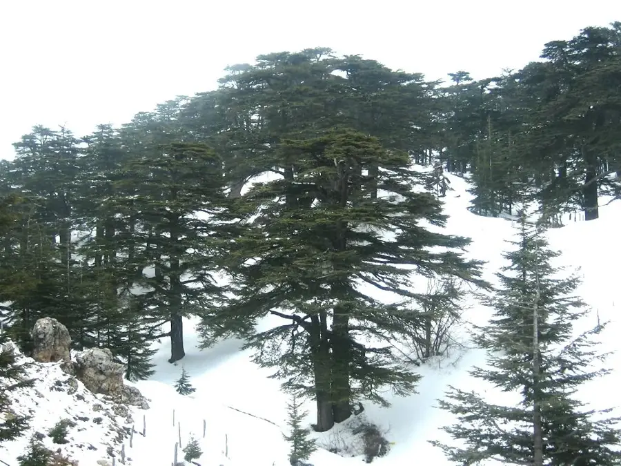
Nature

More places