Plizio Visual Lab
Nahr Ibrahim River
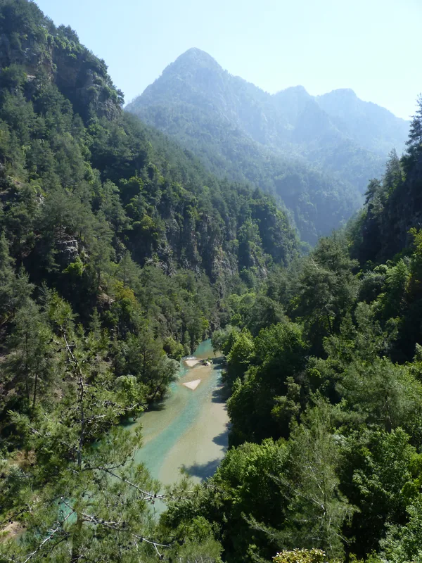
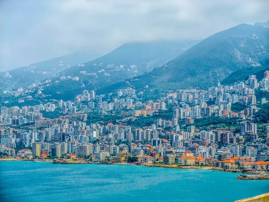
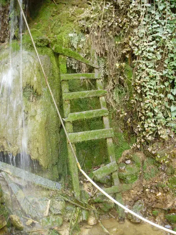
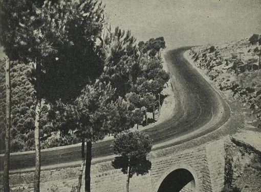
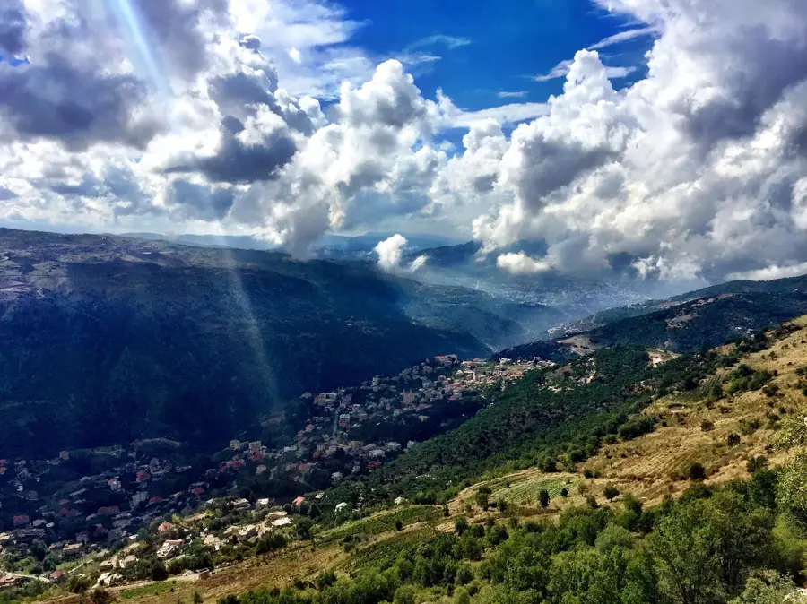
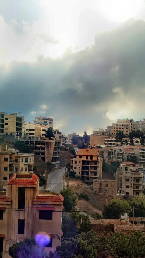
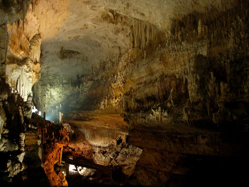
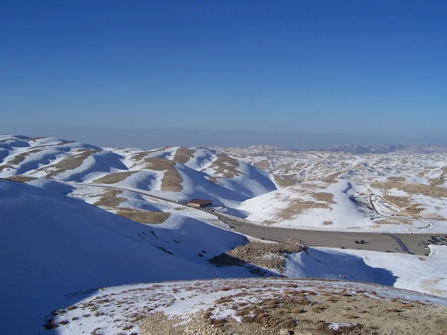
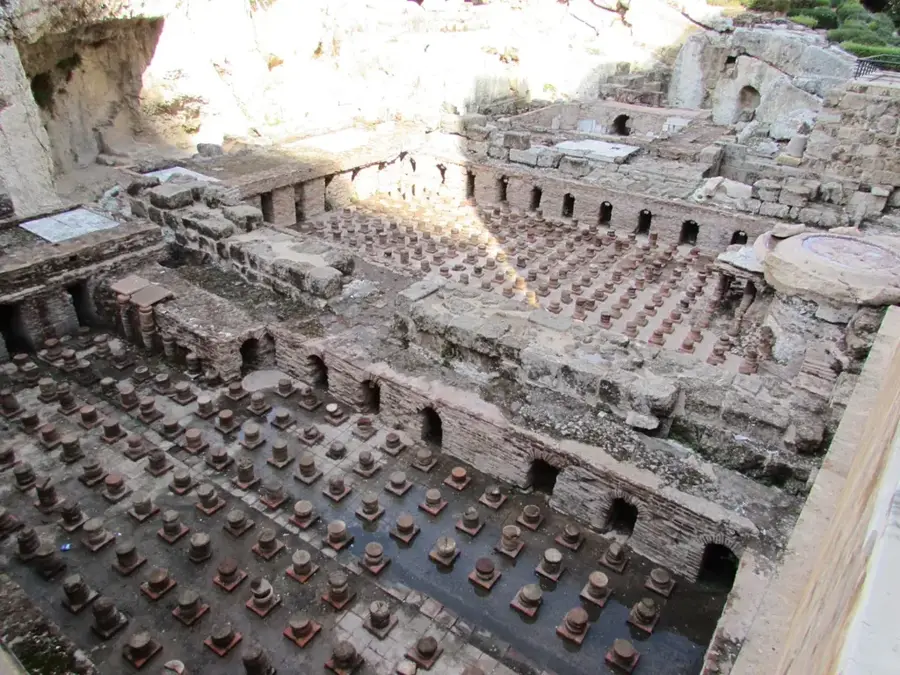
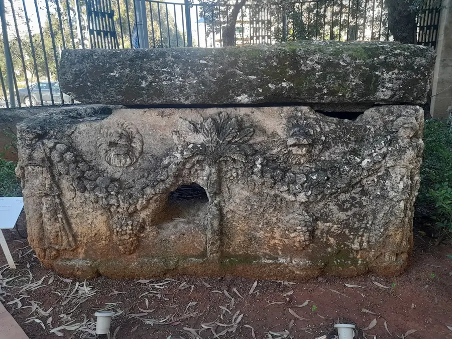
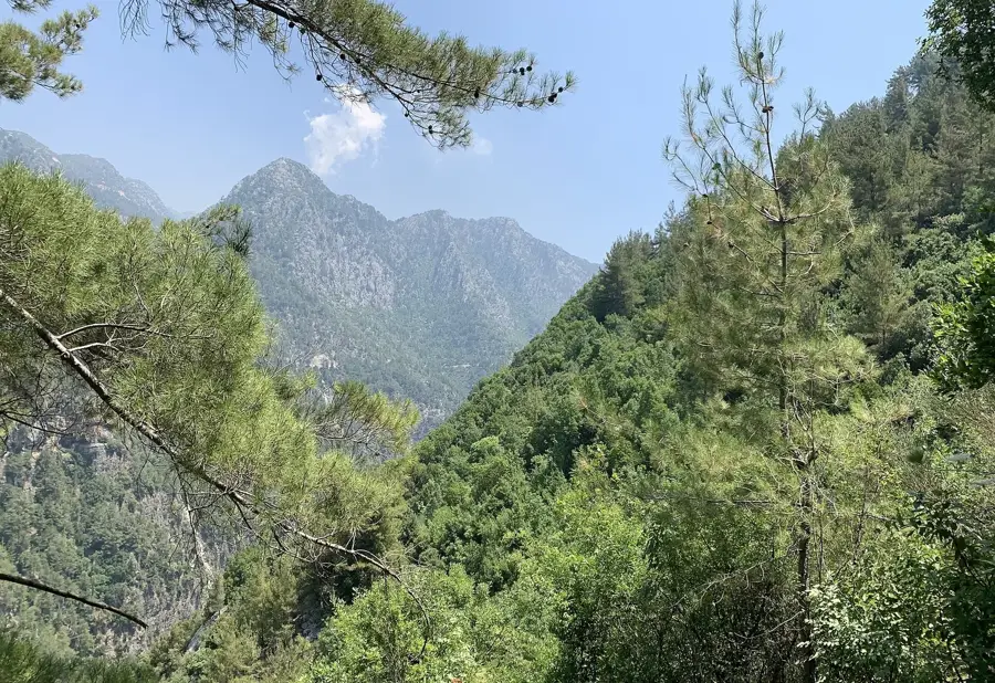
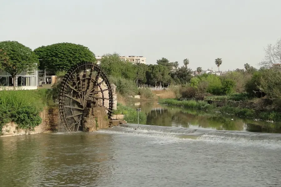
The Nahr Ibrahim River, famously known in antiquity as the Adonis River, is a place where wide-open natural beauty and ancient mythology intertwine. Its source lies in the magnificent Afqa Grotto, a limestone cavern that was once home to a major temple dedicated to Aphrodite and Adonis. As the river carves its way through the rugged Mount Lebanon range, it creates a deep, verdant gorge characterized by sheer cliffs and diverse Mediterranean flora. A unique geological phenomenon occurs annually in the spring: heavy rainfall and melting snow wash iron-rich silt into the water, staining the river an animated red. Ancient civilizations interpreted this as the blood of the god Adonis, slain nearby. Flowing roughly 30 kilometers before reaching the sea north of Jounieh and near the ancient port of Byblos, the river has been a lifeline for the region for millennia. Today, the valley is a prime destination for eco-tourists and hikers, offering trails that pass by Roman aqueducts, Ottoman-era bridges, and hidden swimming holes in a landscape that remains largely untouched.
- Location: Lebanon
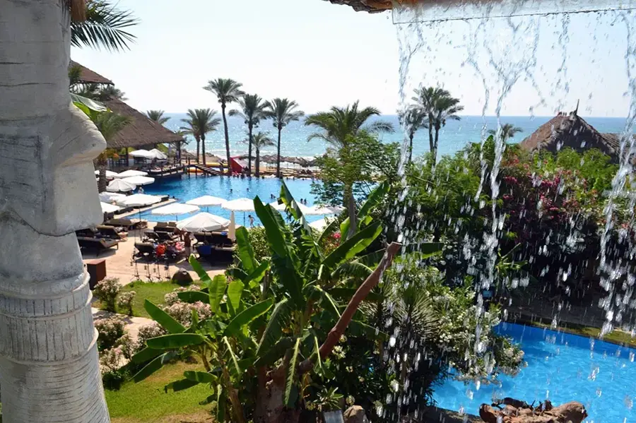
- Top sights: MACAM · Sam Sur Mer · Aquadream Beach Resort
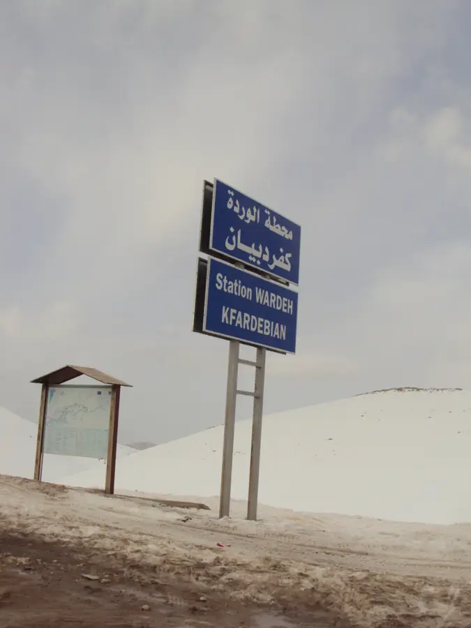
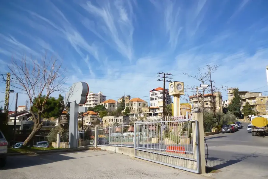
- Nearby: Kfardebian (4 km)
Best time to visit & climate
The most pleasant time to visit is May, Jun, Oct.
| Jan | Feb | Mar | Apr | May | Jun | Jul | Aug | Sep | Oct | Nov | Dec | |
|---|---|---|---|---|---|---|---|---|---|---|---|---|
| Avg °C | 11 | 12 | 14 | 17 | 21 | 24 | 26 | 26 | 25 | 22 | 17 | 13 |
| Rain mm | 115 | 82 | 43 | 23 | 9 | 2 | 0 | 1 | 5 | 23 | 56 | 96 |
📋 Practical info
Geography
Facts
- Length: 50 km
- Catchment area: 600 km²
- Spring discharge: 10 m³/s
- Highest waterfall: 30 m
- Villages in valley: 8
- Mouth: Mediterranean at Byblos
Explore nearby
Notable places around
Route planner — Car & Motorhome
Where do you start? We build the route here, with stops and country notes along the way.
© OpenStreetMap contributors · OpenRouteService
Sights in the town Nahr Ibrahim River (7)
Sights nearby
Frequently asked questions
What is the legend of Nahr Ibrahim?
Where is the best place for hiking?
Is the water suitable for swimming?
When does the river turn red?
How do you reach the river?
Nahr Ibrahim River: where is it located?
Nahr Ibrahim River: what is there to see?
Nahr Ibrahim River: when is the best time to visit?
Nahr Ibrahim River: why is it worth visiting?

Nearby cities
History & landmarks
Nature

More places