Plizio Visual Lab
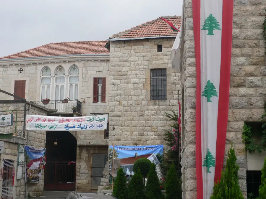
Mount Makmel

Weather…
Water temperature…
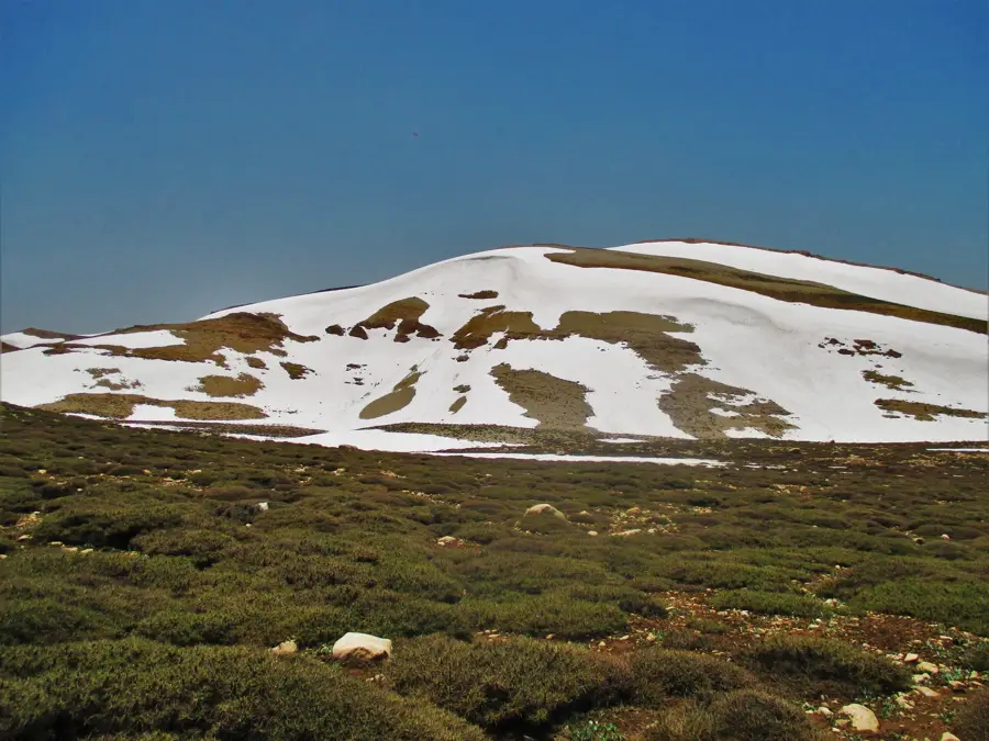
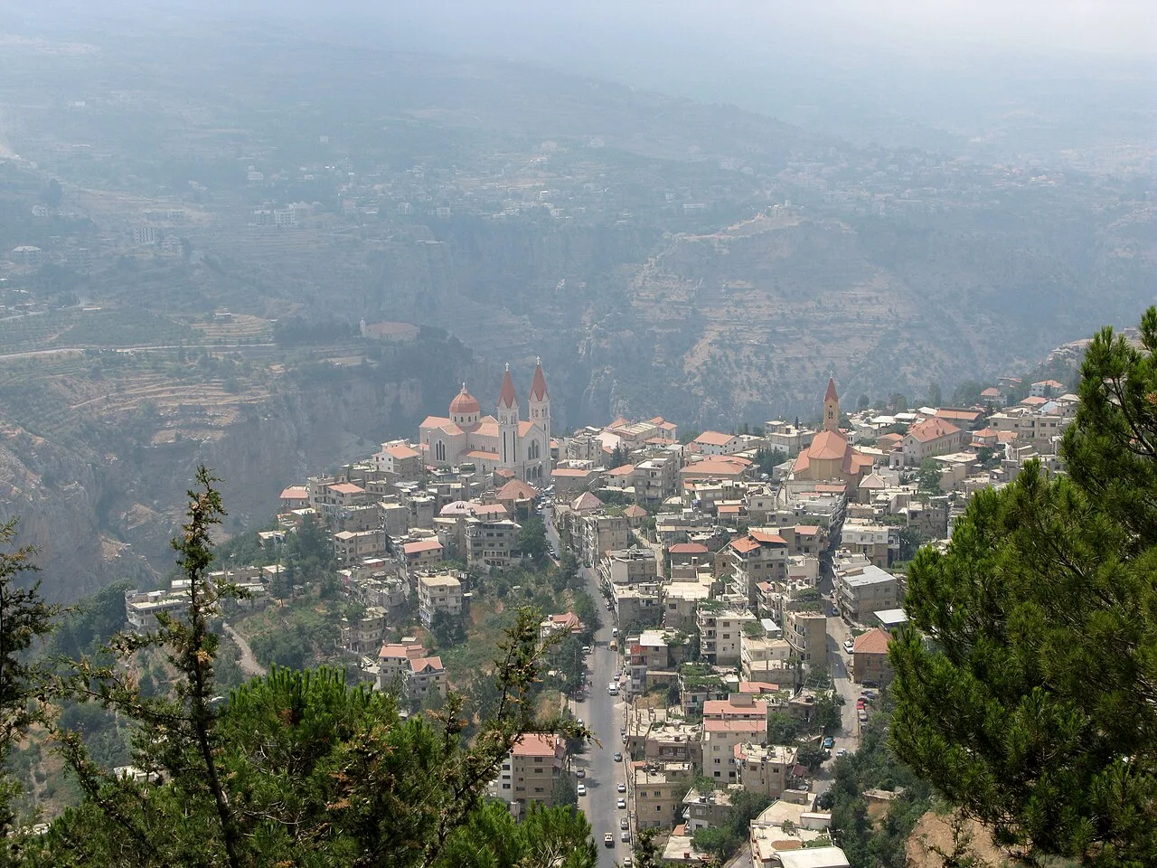
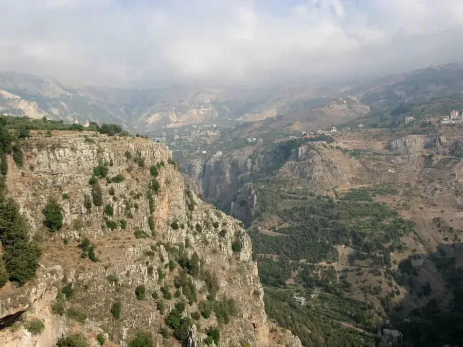
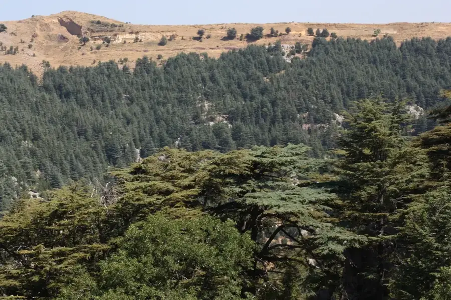
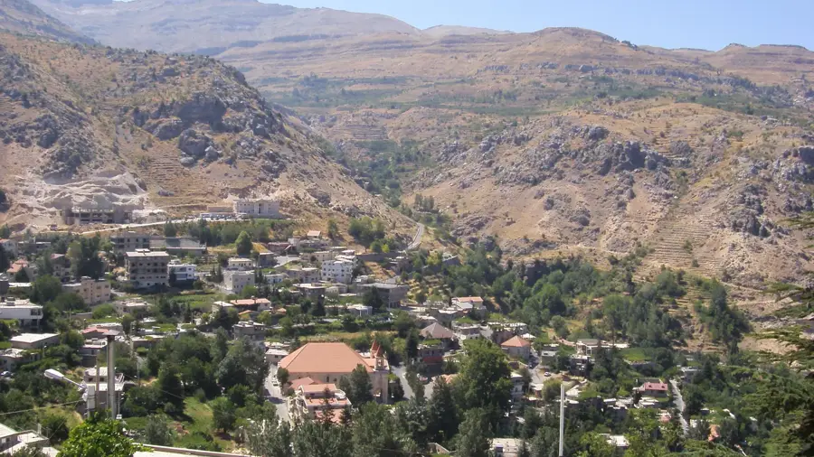
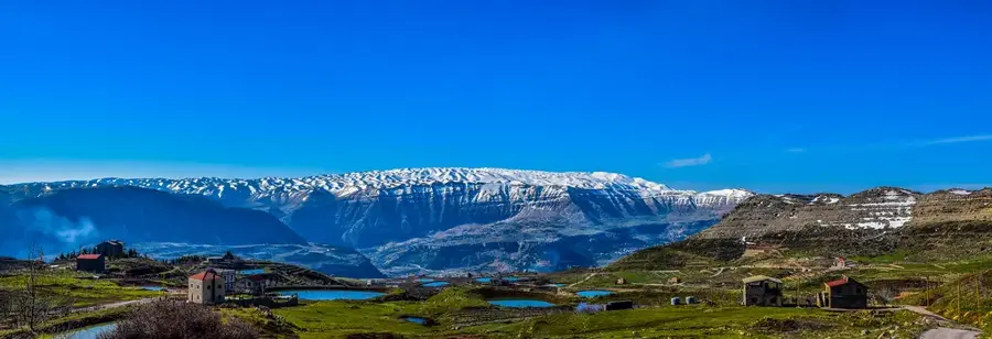
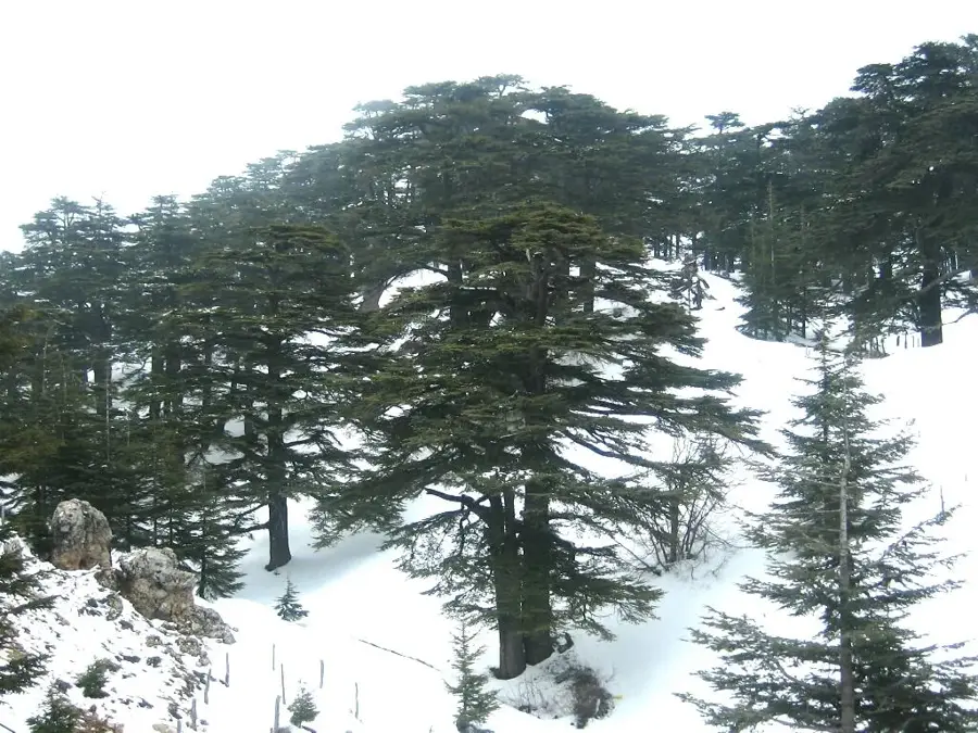
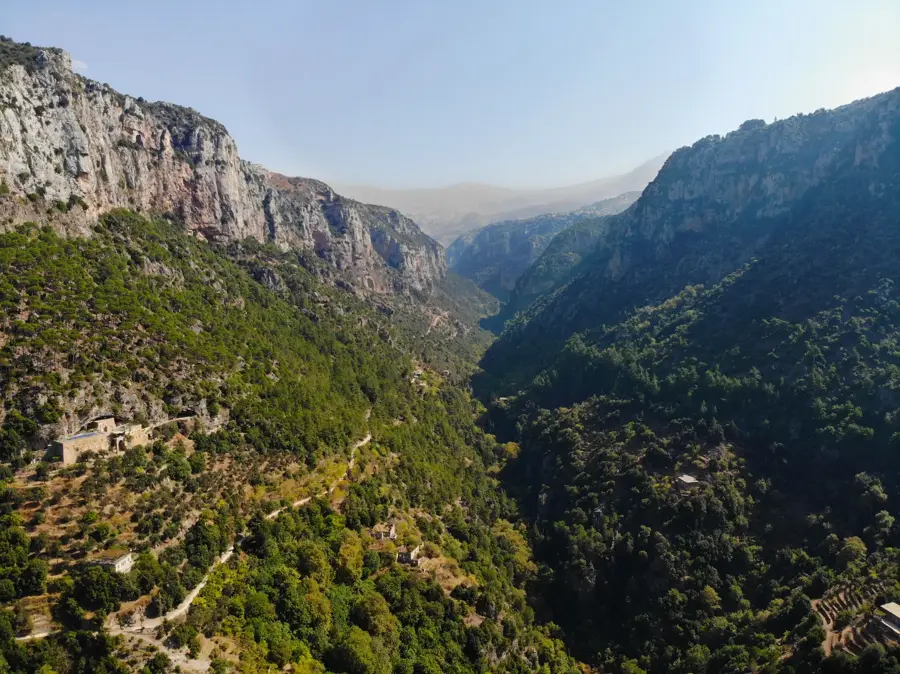
Mount Makmel is an imposing mountain massif in northern Lebanon, hosting the highest point in the country and the entire Levant region, Qurnat as Sawda, at 3,088 meters. This mountainous region is characterized by rugged, alpine landscapes and is covered in snow for a large part of the year, contributing to the etymology of the name Lebanon, which means 'white.' The massif plays a crucial ecological role as a primary water catchment area, feeding numerous springs that irrigate agricultural lands in the valleys below. Geologically, Mount Makmel is composed of thick Cretaceous limestone layers uplifted by significant tectonic activity. On its lower slopes lie the famous 'Cedars of God,' a UNESCO World Heritage forest containing some of the oldest trees on Earth. Due to its extreme elevation and exposed position, the climate here is harsh, featuring strong winds and low temperatures year-round. Today, the region is a favorite destination for hikers and climbers in the summer, while the nearby slopes attract skiers during the winter season, all within a framework of environmental protection.
- Location: Lebanon
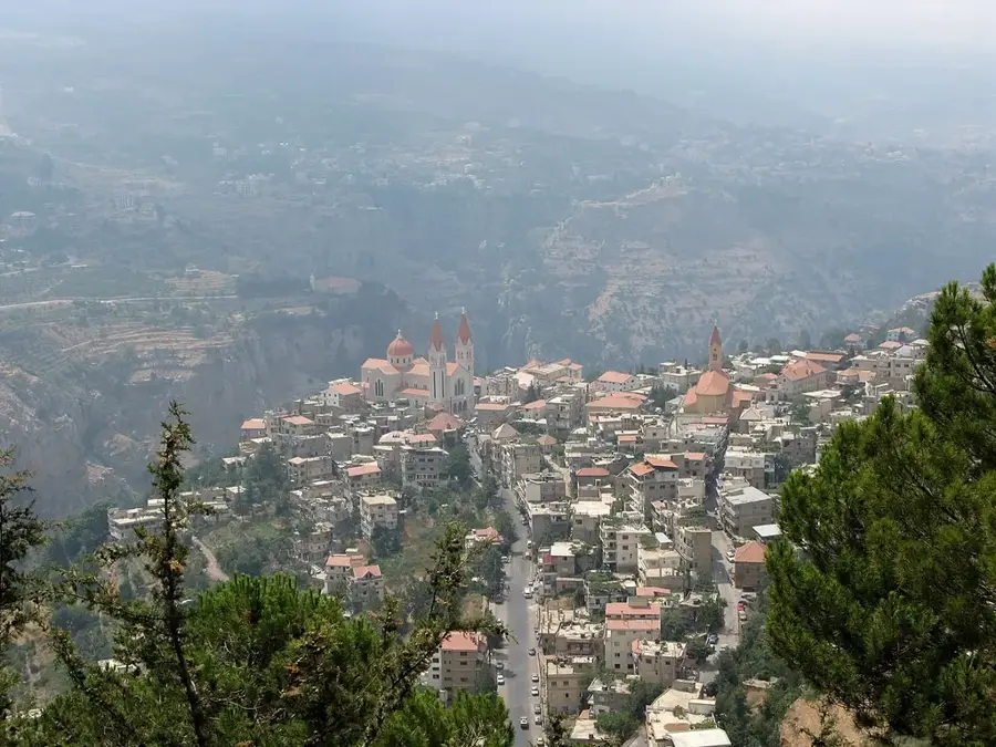
- Nearby: Bcharre (8 km)
Best time to visit & climate
The most pleasant time to visit is May, Jun, Sep.
| Jan | Feb | Mar | Apr | May | Jun | Jul | Aug | Sep | Oct | Nov | Dec | |
|---|---|---|---|---|---|---|---|---|---|---|---|---|
| Avg °C | 6 | 7 | 10 | 14 | 19 | 23 | 25 | 25 | 23 | 19 | 13 | 8 |
| Rain mm | 91 | 68 | 44 | 24 | 12 | 4 | 1 | 1 | 9 | 23 | 46 | 71 |
📋 Practical info
Geography
Facts
- Hosts Qurnat as Sawda, the highest peak in Lebanon at 3,088 m.
- Snow remains on the peaks from November until late June.
- Part of the northern section of the Mount Lebanon range.
- The 'Cedars of God' forest is located on its western slopes.
- Primary water source for the Qadisha and Abou Ali rivers.
- Geologically composed of limestone from the Cretaceous and Jurassic periods.
Explore nearby
Notable places around
Route planner — Car & Motorhome
Where do you start? We build the route here, with stops and country notes along the way.
© OpenStreetMap contributors · OpenRouteService
Sights in the town Mount Makmel (1)
Sights nearby
Frequently asked questions
Where is Mount Makmel located?
Which famous peak belongs to the Makmel massif?
When is there snow on Mount Makmel?
Can you visit the 'Cedars of God' there?
Is the terrain suitable for trekking?
Mount Makmel: where is it located?
Mount Makmel: when is the best time to visit?
Mount Makmel: why is it worth visiting?

Nearby cities

History & landmarks

Nature
More places