Plizio Visual Lab
Nahr Abou Ali River

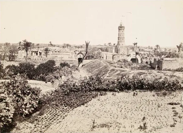
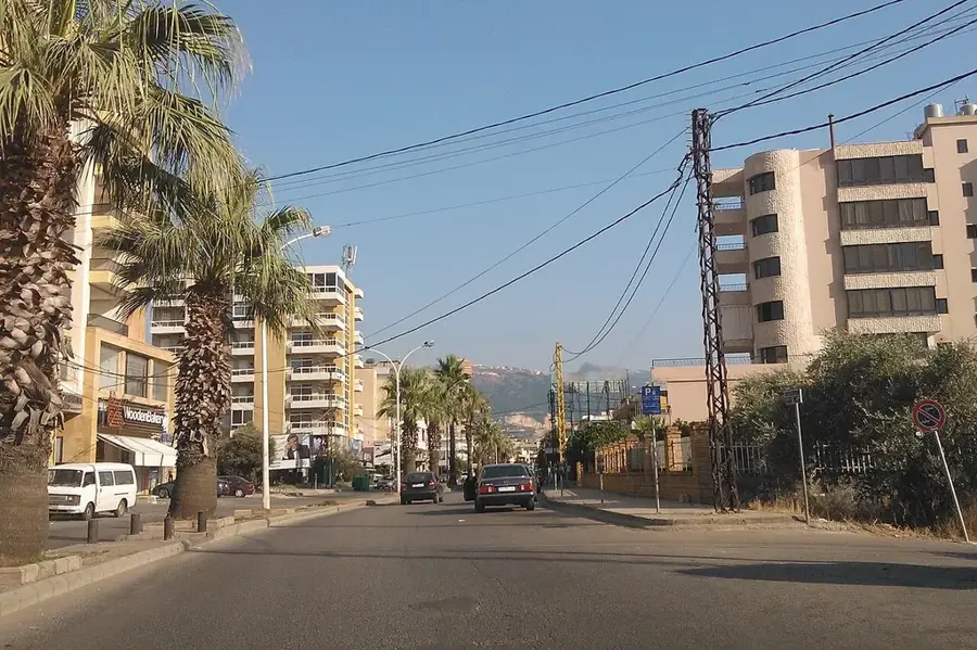
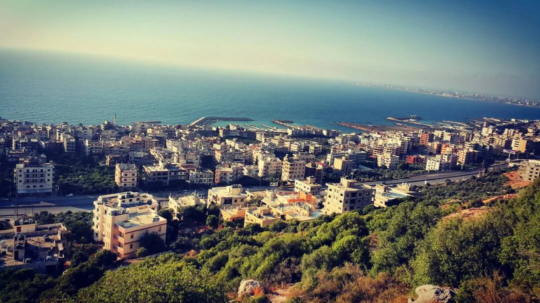
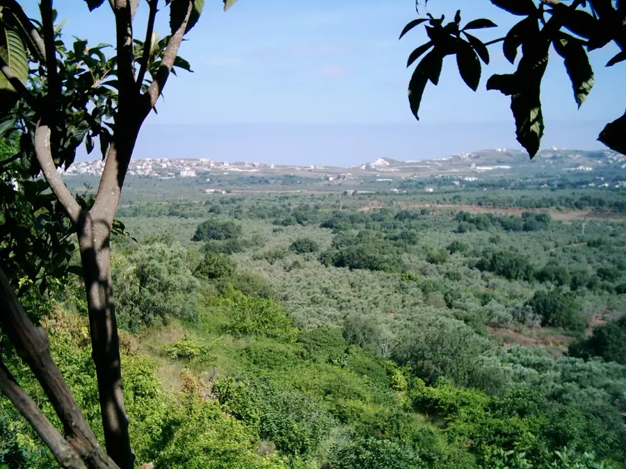
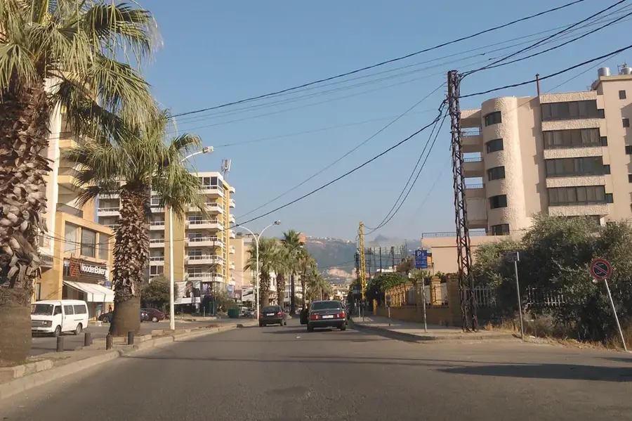
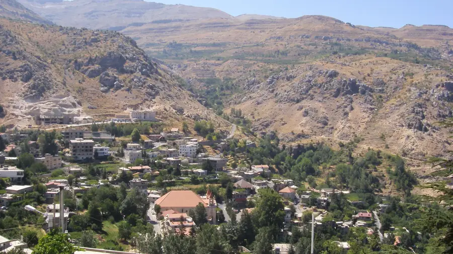
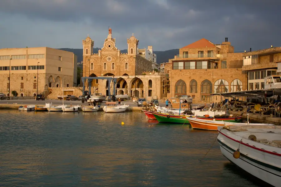
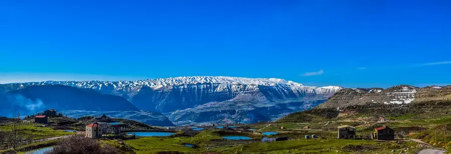
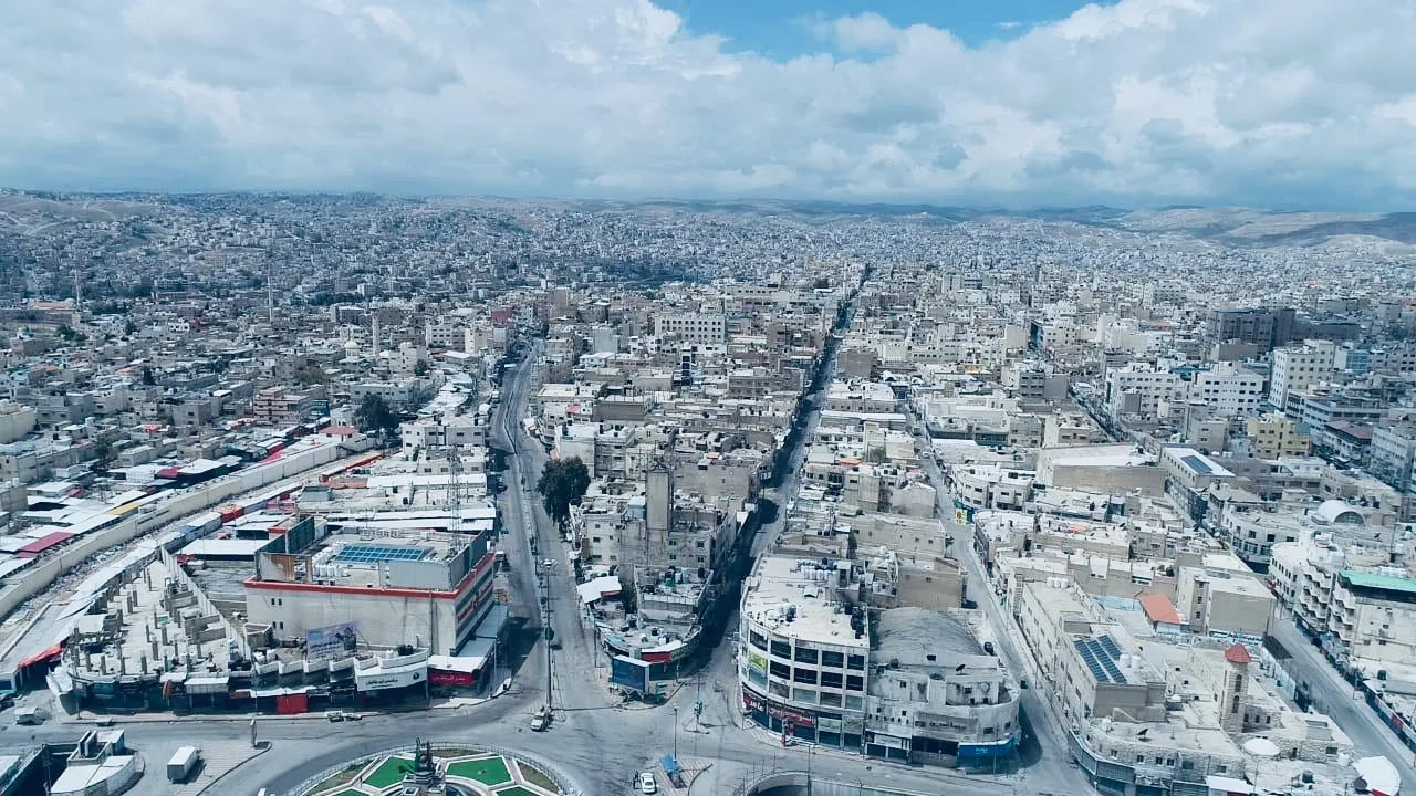
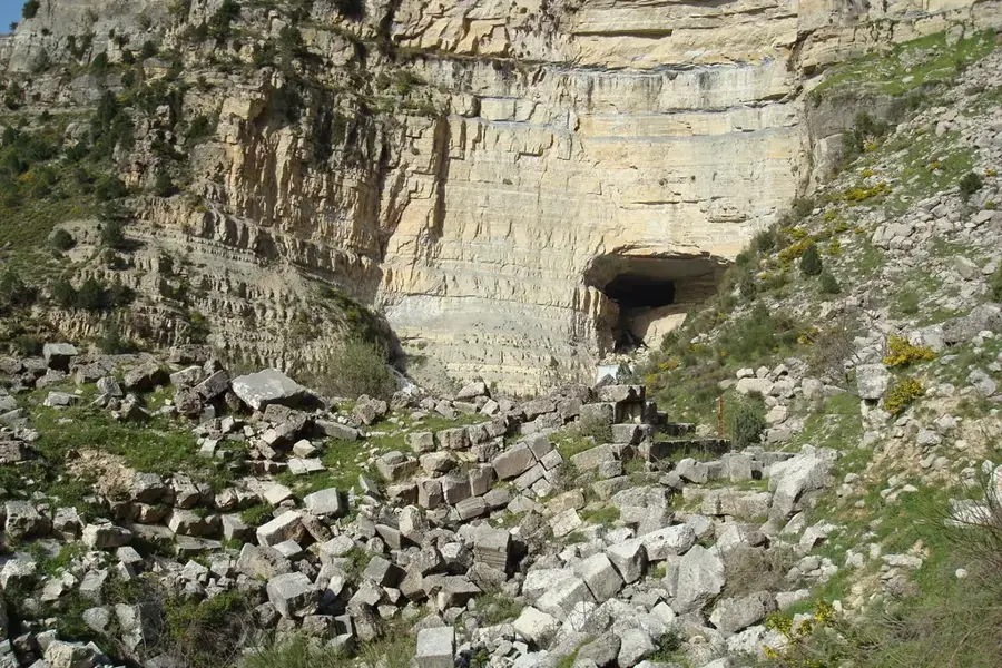
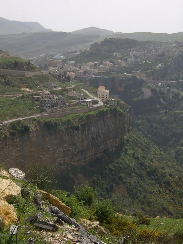
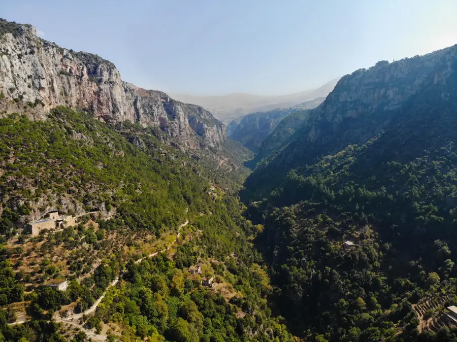
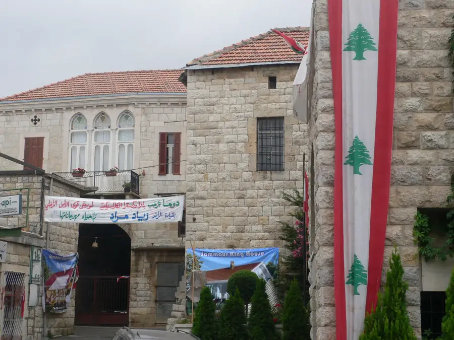
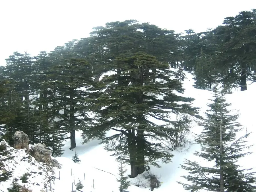
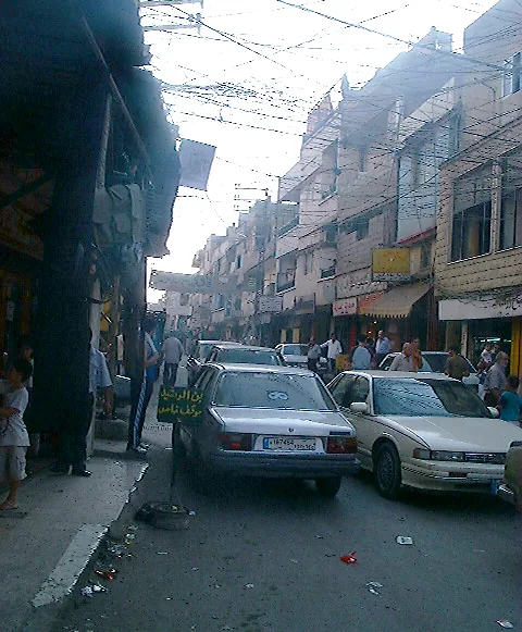
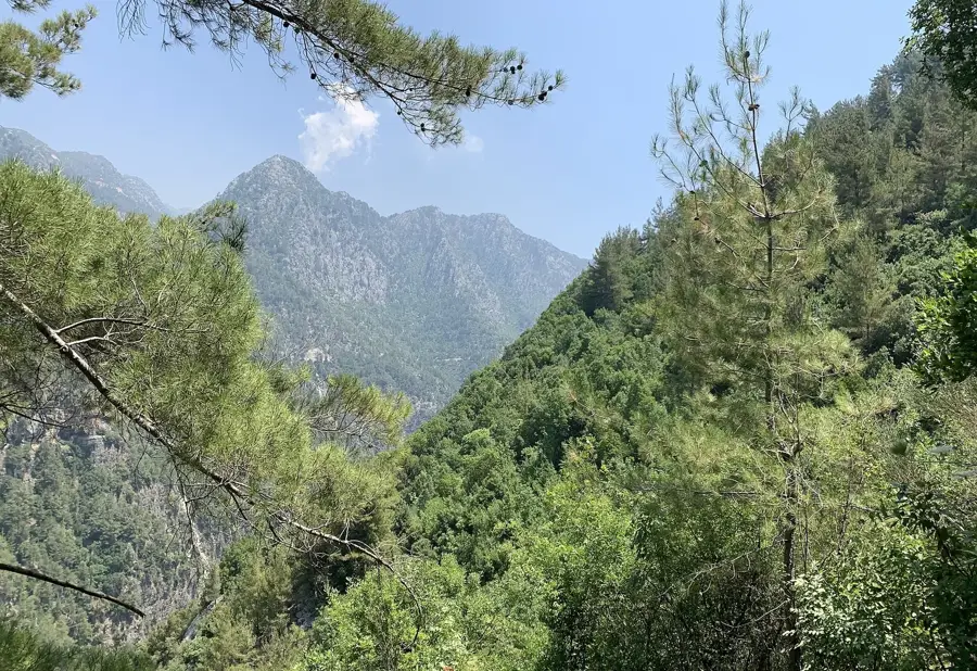
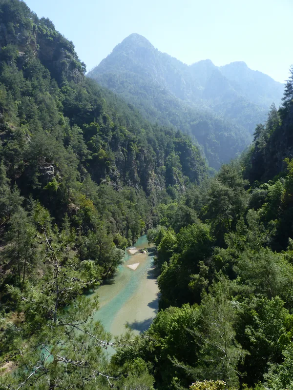
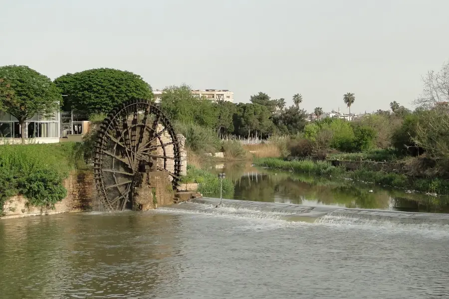
The Nahr Abou Ali River is a waterway of immense historical and geographical significance, originating in the sacred Qadisha Valley and flowing through the heart of Tripoli. Historically, the river was the lifeblood of the city, powering numerous watermills and sustaining the verdant orchards for which Tripoli was once famous. However, the river's identity was forever altered following the catastrophic flood of 1955, which caused widespread destruction and loss of life in the old city. In response, a major engineering project transformed the riverbed into a massive concrete channel to manage water flow and prevent future disasters. Today, the river serves as a stark urban divide between the historic Mamluk souks and the modern residential quarters of the city. Despite its channelization, it remains a vital landmark, with several bridges connecting the bustling markets on either side. Flowing eventually into the Mediterranean at the Port of Tripoli, the Nahr Abou Ali stands as a testament to the complex struggle between urban expansion and the raw power of Lebanese mountain waters.
- Location: Lebanon
- Top sights: El Fouar Church · Al Nasiri Mosque · fatima al zahraa mosque
- Nearby: Zgharta (7 km)
Best time to visit & climate
The most pleasant time to visit is May, Jun, Sep.
| Jan | Feb | Mar | Apr | May | Jun | Jul | Aug | Sep | Oct | Nov | Dec | |
|---|---|---|---|---|---|---|---|---|---|---|---|---|
| Avg °C | 6 | 7 | 10 | 14 | 19 | 23 | 25 | 25 | 23 | 19 | 13 | 8 |
| Rain mm | 91 | 68 | 44 | 24 | 12 | 4 | 1 | 1 | 9 | 23 | 46 | 71 |
📋 Practical info
Geography
Facts
- Length: 45 km
- Catchment area: 300 km²
- Source elevation: 2000 m
- Flow rate: 3 m³/s
- Mouth: Mediterranean at Tripoli
- Population of Tripoli: 500,000
Explore nearby
Notable places around
Route planner — Car & Motorhome
Where do you start? We build the route here, with stops and country notes along the way.
© OpenStreetMap contributors · OpenRouteService
Sights in the town Nahr Abou Ali River (3)
Sights nearby
Frequently asked questions
Where does the Nahr Abou Ali originate?
Can you walk along the river?
Are there historical bridges over the river?
Is the river suitable for canoeing?
What role does the river play for Tripoli?
Nahr Abou Ali River: where is it located?
Nahr Abou Ali River: what is there to see?
Nahr Abou Ali River: when is the best time to visit?
Nahr Abou Ali River: why is it worth visiting?

Nearby cities
History & landmarks

Nature
More places