Plizio Visual Lab
Mount Hermon

Weather…
Water temperature…
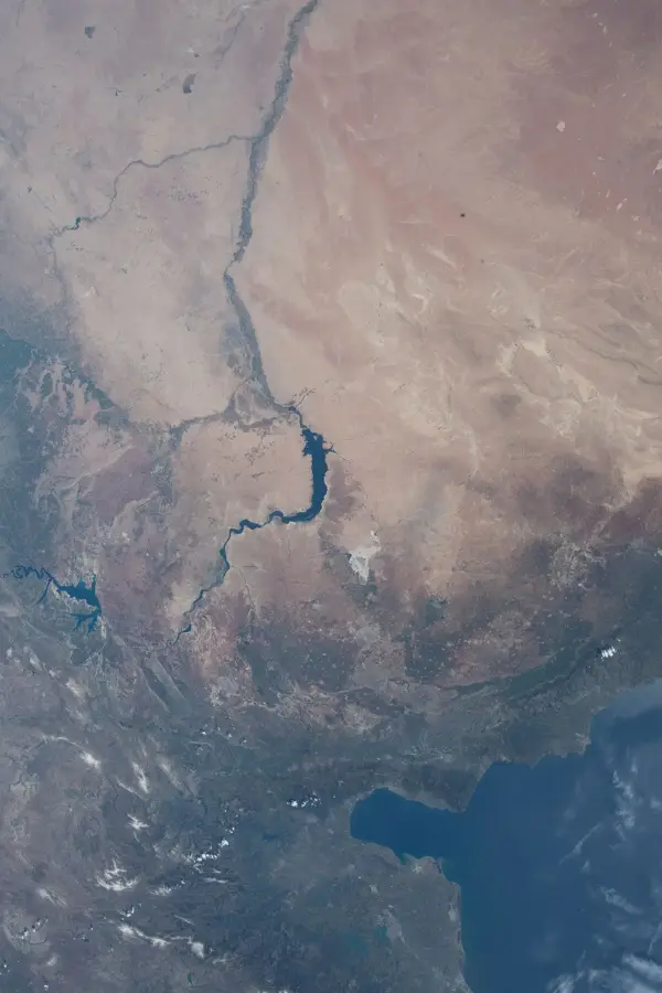
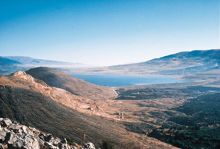
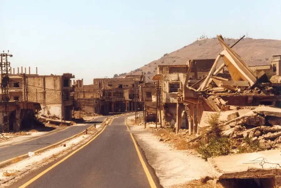
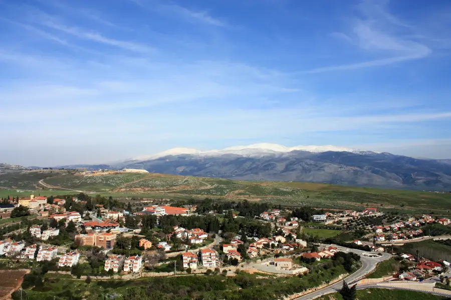
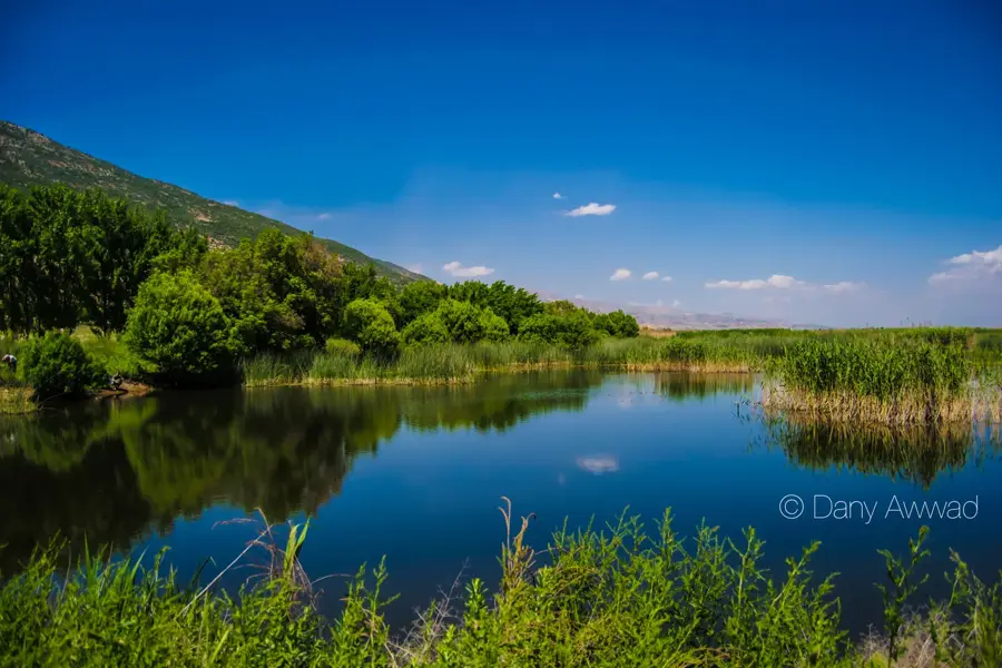
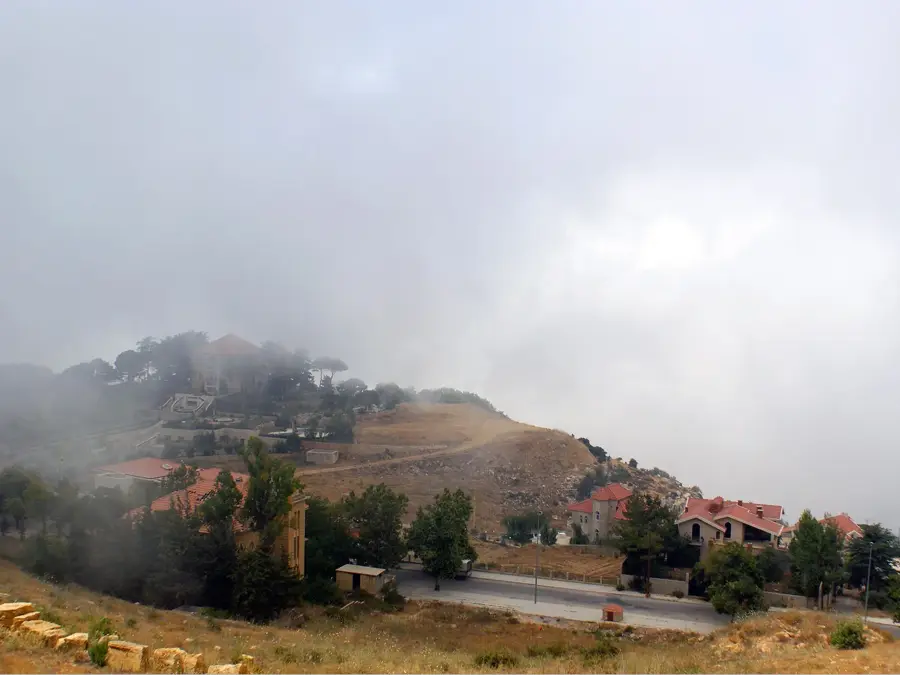
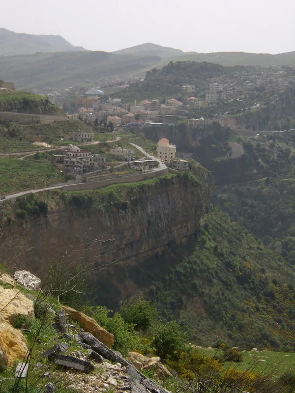
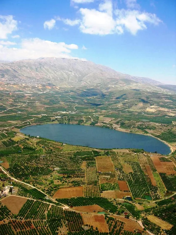
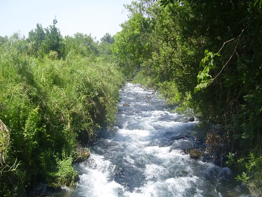
Mount Hermon, also known as Jabal el-Sheikh, marks the southern terminus of the Anti-Lebanon range, reaching a peak elevation of 2,814 meters. It is situated at the border junction between Lebanon, Syria, and the Golan Heights, making it a site of immense strategic and ecological importance. Due to its altitude, the mountain serves as the primary freshwater reservoir for the region, with its seasonal snowmelt feeding the springs of the Jordan River. Geologically, it is composed of limestone and supports a unique biodiversity, including several endemic plant species. The mountain holds deep historical and religious significance; it is mentioned in the Bible and is traditionally identified as the site of the Transfiguration of Jesus Christ. In ancient times, its slopes were adorned with numerous temples dedicated to Canaanite and Roman deities. Today, while largely militarized due to regional conflicts, it remains a symbol of spiritual grandeur and an indispensable natural resource for the Middle East's hydrological balance.
- Location: Lebanon
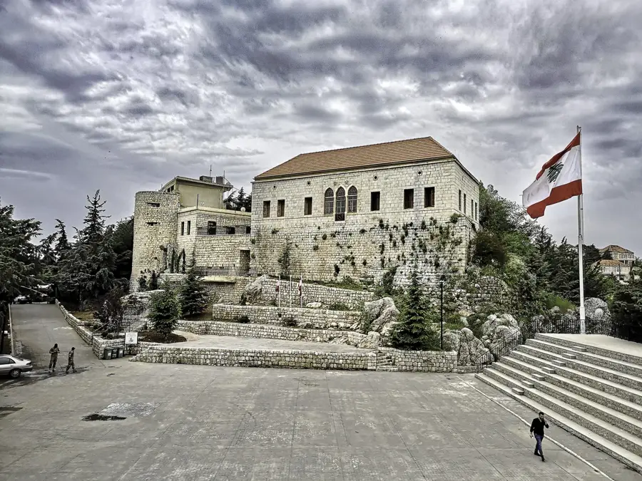
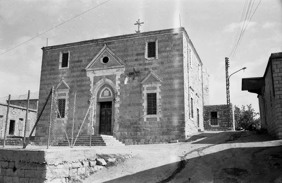
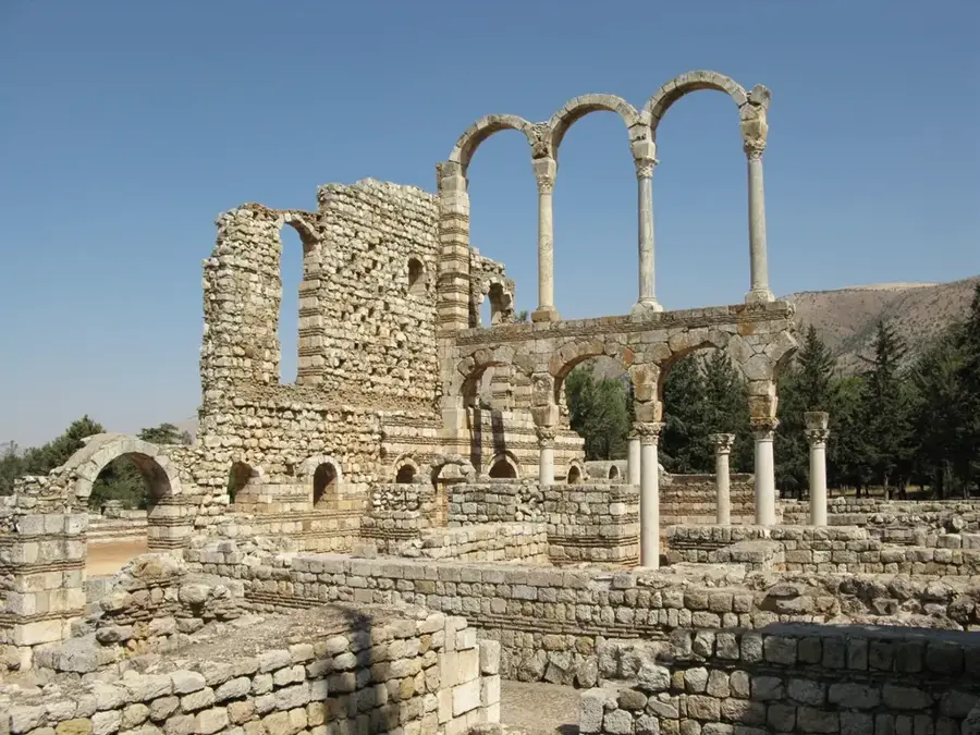
- Top sights: Qasr Shbib · Jabal Ash Shaykh
- Nearby: Rashaya (8 km)
Best time to visit & climate
The most pleasant time to visit is May, Jun, Sep.
| Jan | Feb | Mar | Apr | May | Jun | Jul | Aug | Sep | Oct | Nov | Dec | |
|---|---|---|---|---|---|---|---|---|---|---|---|---|
| Avg °C | 5 | 6 | 10 | 14 | 19 | 24 | 26 | 26 | 23 | 19 | 11 | 7 |
| Rain mm | 69 | 57 | 29 | 18 | 7 | 1 | 0 | 0 | 2 | 13 | 35 | 57 |
📋 Practical info
Geography
Facts
- Highest peak reaches 2,814 meters above sea level
- Located at the convergence of Lebanon, Syria, and the Golan Heights
- Major source for the headwaters of the Jordan River
- Known as 'Jabal el-Sheikh' meaning 'Mountain of the Gray-haired'
- Mentioned in the Bible as a sacred and majestic peak
- Home to the world's highest UN observation post
Explore nearby
Notable places around
Route planner — Car & Motorhome
Where do you start? We build the route here, with stops and country notes along the way.
© OpenStreetMap contributors · OpenRouteService
Sights in the town Mount Hermon (2)
Sights nearby
Frequently asked questions
What is the historical significance of Mount Hermon?
Where exactly is Mount Hermon located?
Can you visit Mount Hermon?
What is the climate like on Mount Hermon?
What is the highest point of Hermon?
Mount Hermon: where is it located?
Mount Hermon: what is there to see?
Mount Hermon: when is the best time to visit?
Mount Hermon: why is it worth visiting?

Nearby cities
History & landmarks
Nature

More places