Plizio Visual Lab
Ouyoun Orghosh Plateau

Weather…
Water temperature…
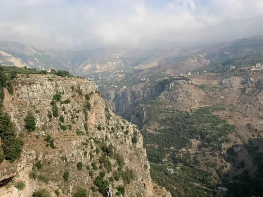
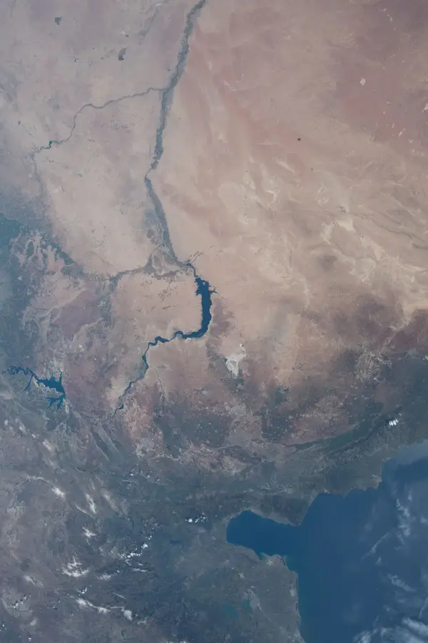
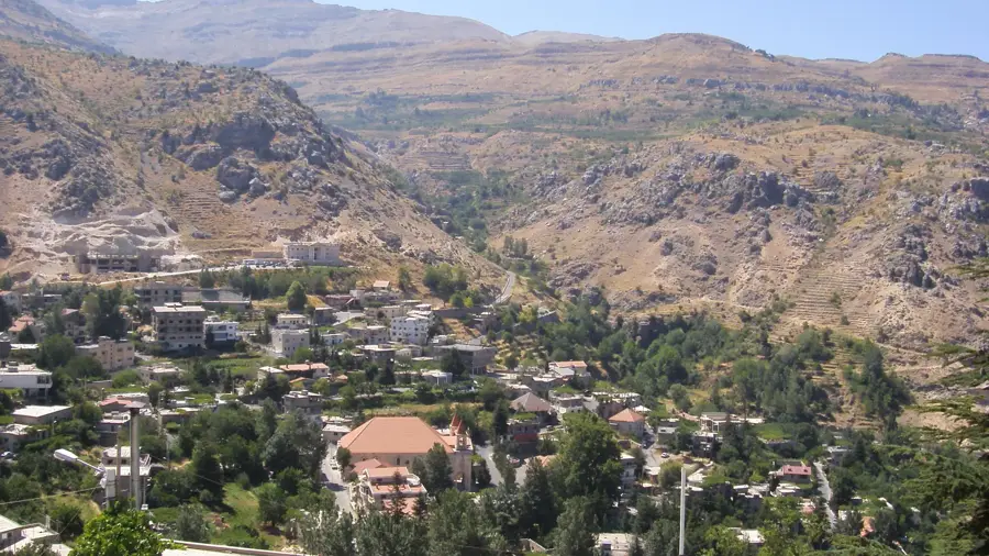
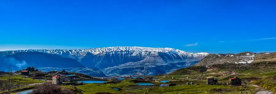
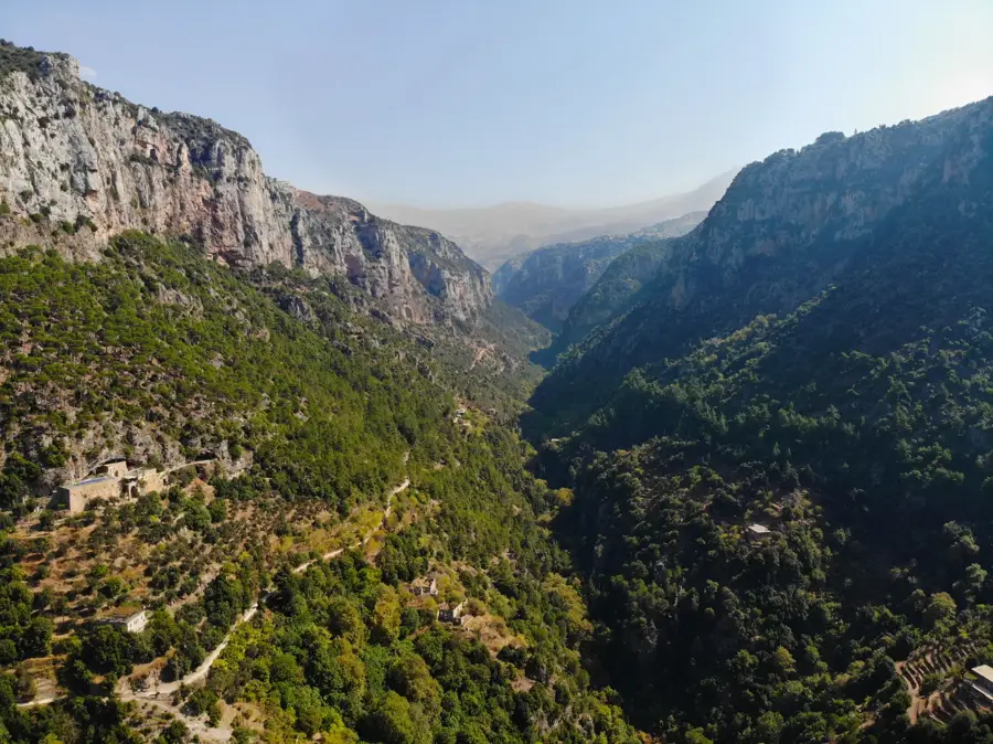
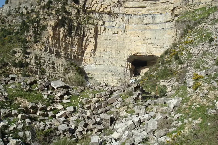
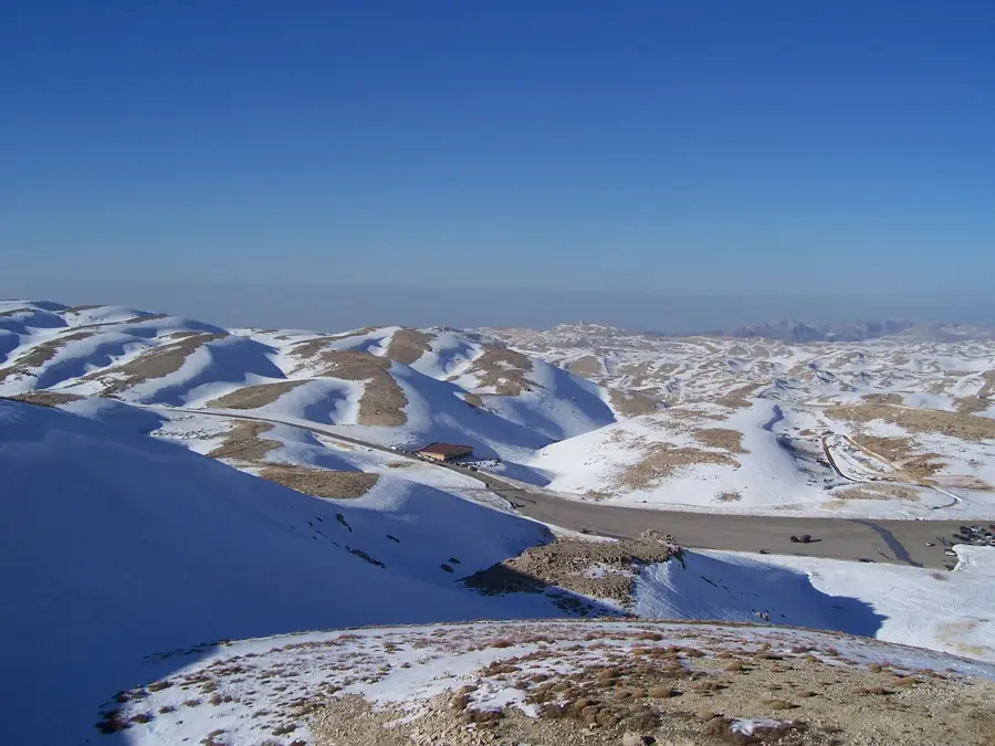
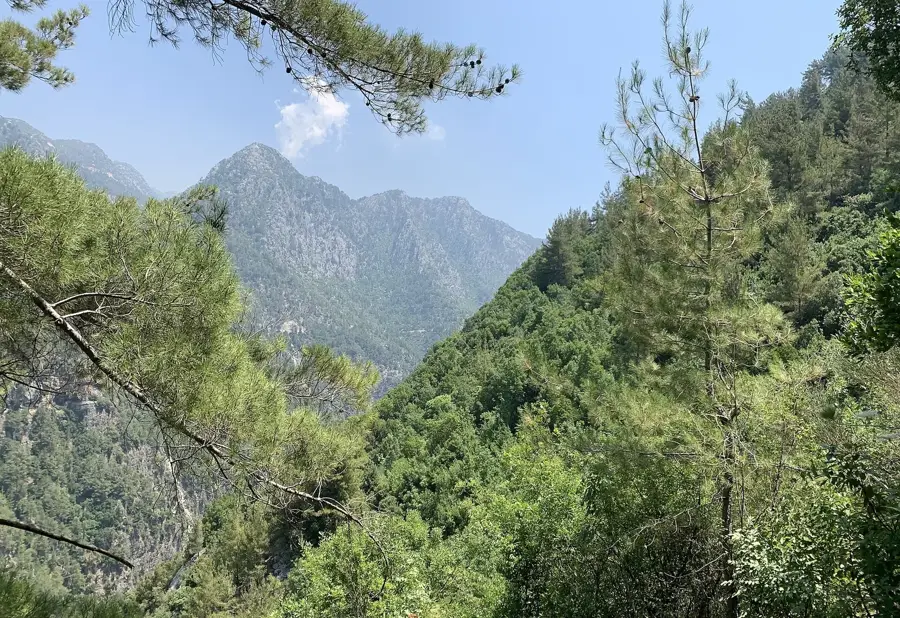
The Ouyoun Orghosh Plateau is a high-altitude basin located on the eastern slopes of the Mount Lebanon range, directly beneath Qurnat as-Sawda, the country's highest peak. Situated at an average elevation of over 2,100 meters above sea level, it is known for its rugged alpine climate and dramatic scenery. The name 'Ouyoun' refers to the numerous freshwater springs that emerge from the limestone karst during the spring snowmelt. These springs create seasonal ponds and support livestock grazing and limited agriculture during the brief summer months. Historically, the plateau has served as a vital summer pasture for shepherds from the Bekaa Valley and the northern mountain districts. Due to heavy snowfall, the region is completely inaccessible for several months each winter and has no permanent year-round residents. The terrain is characterized by stark rock formations and sparse vegetation adapted to extreme temperature shifts. Today, it is a favored destination for hikers and eco-tourists seeking the pristine isolation of Lebanon's highest mountain landscapes.
- Location: Lebanon
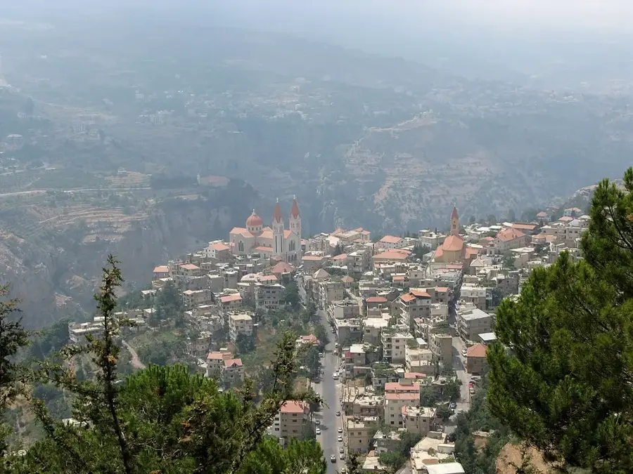
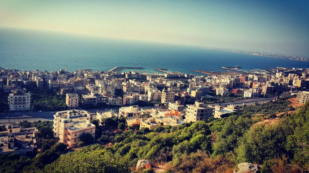
- Nearby: Ehden (8 km)
Best time to visit & climate
The most pleasant time to visit is Jun, Jul, Sep.
| Jan | Feb | Mar | Apr | May | Jun | Jul | Aug | Sep | Oct | Nov | Dec | |
|---|---|---|---|---|---|---|---|---|---|---|---|---|
| Avg °C | 3 | 4 | 7 | 11 | 16 | 20 | 23 | 24 | 21 | 16 | 9 | 5 |
| Rain mm | 78 | 57 | 32 | 18 | 9 | 2 | 0 | 1 | 4 | 15 | 36 | 60 |
📋 Practical info
Geography
Facts
- The plateau sits at an elevation between 2,100 and 2,500 meters.
- It is located at the boundary of the Baalbek and Bsharri districts.
- The area is uninhabited in winter due to snow depths reaching 5 meters.
- Karst springs feed local water basins throughout the spring season.
- The plateau serves as a significant corridor for migratory birds.
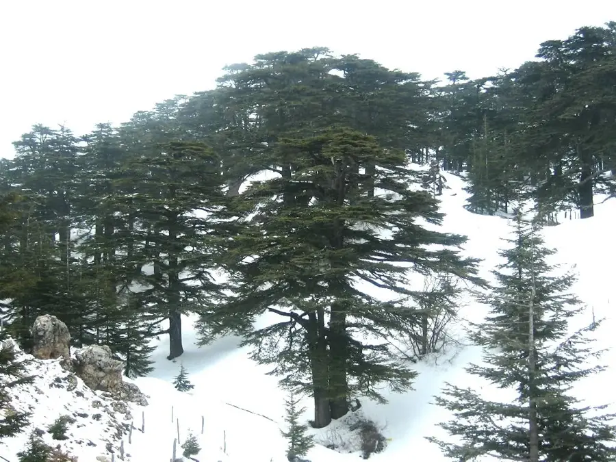
- Some of the local cedar trees grow at the highest altitudes in Lebanon.
Explore nearby
Notable places around
Route planner — Car & Motorhome
Where do you start? We build the route here, with stops and country notes along the way.
© OpenStreetMap contributors · OpenRouteService
Sights in the town Ouyoun Orghosh Plateau (1)
Sights nearby
Frequently asked questions
What is Ouyoun Orghosh known for?
Can the plateau be visited in winter?
Are there accommodation options there?
How are the road conditions?
What can you eat there?
Ouyoun Orghosh Plateau: where is it located?
Ouyoun Orghosh Plateau: when is the best time to visit?
Ouyoun Orghosh Plateau: why is it worth visiting?

Nearby cities
History & landmarks

Nature
More places