Plizio Visual Lab
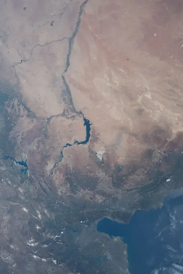
Anti-Lebanon Mountains

Weather…
Water temperature…
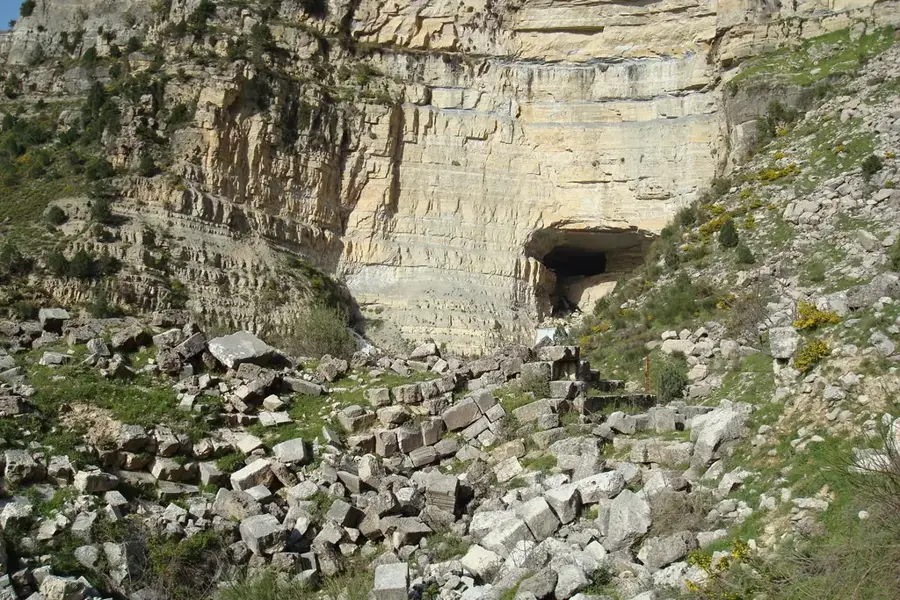
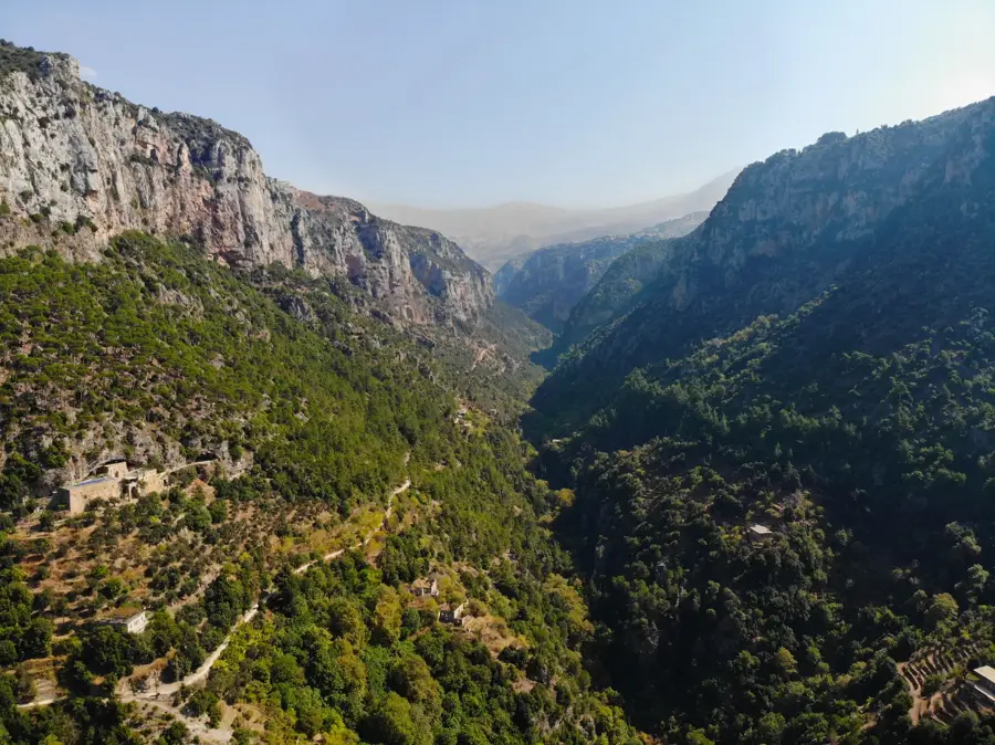
The Anti-Lebanon Mountains are a mountain range approximately 150 kilometers long, forming the natural border between Lebanon and Syria. They run parallel to the Mount Lebanon range but are significantly drier and more barren due to the rain shadow effect created by the western peaks. The highest point in the massif is Mount Hermon (Jabal el-Sheikh) in the south, reaching an elevation of 2,814 meters. Geologically, the range is composed mainly of Cretaceous limestone, featuring dramatic eroded rock formations and deep ravines. Historically, the Anti-Lebanon range has been a vital transit zone for trade caravans and military forces moving between Damascus and the Mediterranean coast. Vegetation is sparse, consisting largely of drought-resistant shrubs and scattered juniper trees. Despite the harsh climate, small settlements persist in the valleys, relying on permanent springs and seasonal runoff. The range serves as a critical watershed, separating the Mediterranean basin from the arid Syrian interior and influencing regional weather patterns.
- Location: Lebanon
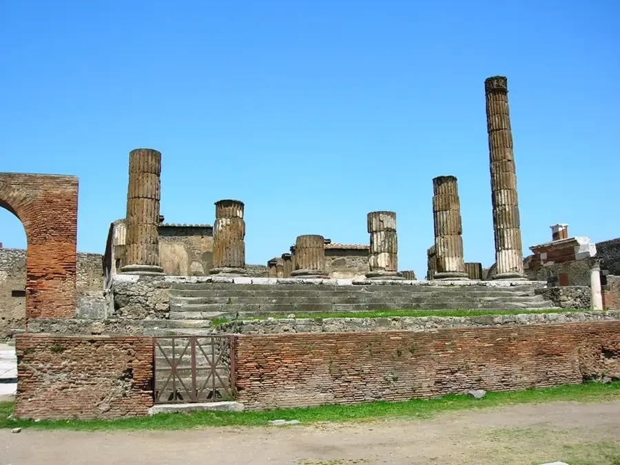
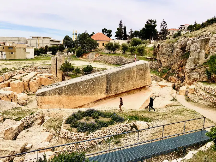
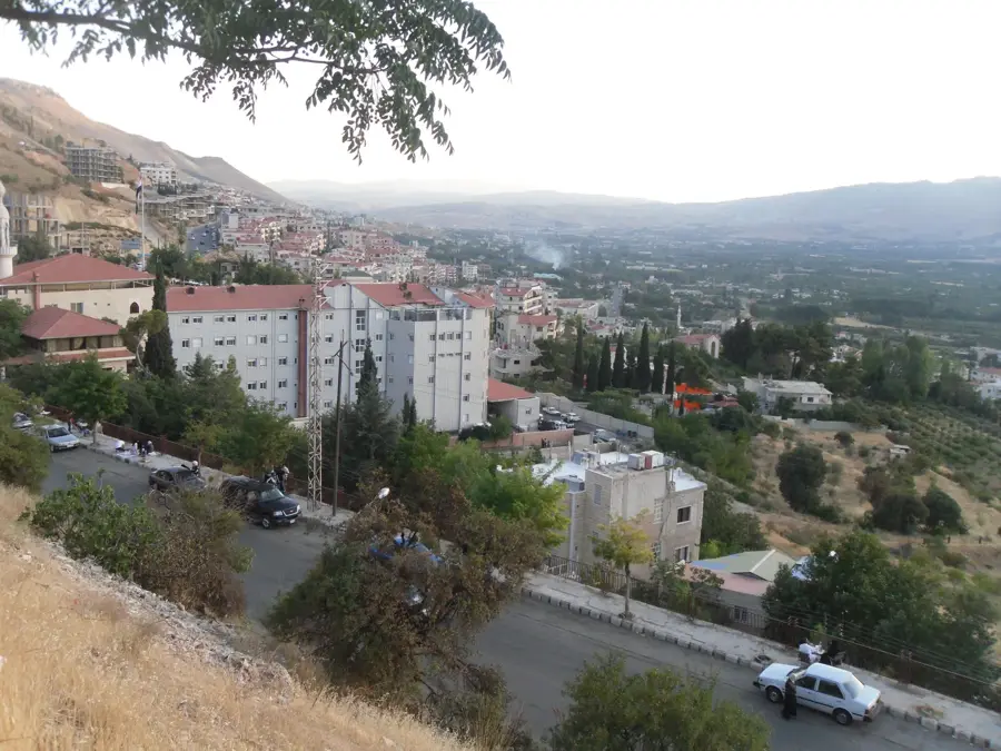
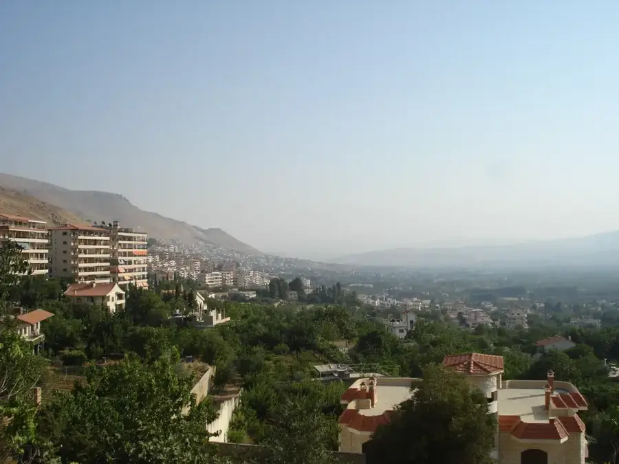
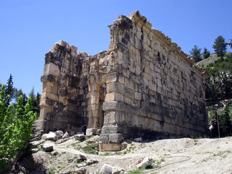
- Nearby: Baalbek (5 km)
Best time to visit & climate
The most pleasant time to visit is Jun, Jul, Sep.
| Jan | Feb | Mar | Apr | May | Jun | Jul | Aug | Sep | Oct | Nov | Dec | |
|---|---|---|---|---|---|---|---|---|---|---|---|---|
| Avg °C | 3 | 4 | 7 | 11 | 16 | 20 | 23 | 24 | 21 | 16 | 9 | 5 |
| Rain mm | 78 | 57 | 32 | 18 | 9 | 2 | 0 | 1 | 4 | 15 | 36 | 60 |
📋 Practical info
Geography
Facts
- Forms a 150-kilometer natural border between Lebanon and Syria
- The highest summit is Mount Hermon at 2,814 meters
- Characterized by a semi-arid climate compared to Mount Lebanon
- Geology consists primarily of Cretaceous limestone and dolomite
- Functions as a major watershed for the Barada and Orontes rivers
- Historically a key corridor for trade between Damascus and the coast
Explore nearby
Notable places around
Route planner — Car & Motorhome
Where do you start? We build the route here, with stops and country notes along the way.
© OpenStreetMap contributors · OpenRouteService
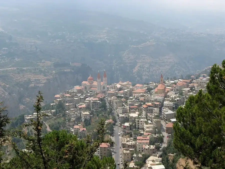
Sights in the town Anti-Lebanon Mountains (1)
Sights nearby
Frequently asked questions
Where are the Anti-Lebanon Mountains located?
Can you go skiing in Anti-Lebanon?
How does the vegetation differ from the Lebanon Mountains?
Are there border crossings in the mountains?
What is the highest peak of the Anti-Lebanon?
Anti-Lebanon Mountains: where is it located?
Anti-Lebanon Mountains: when is the best time to visit?
Anti-Lebanon Mountains: why is it worth visiting?

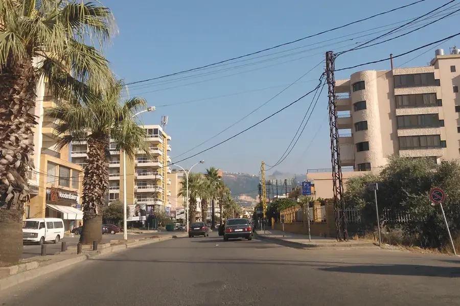
Nearby cities
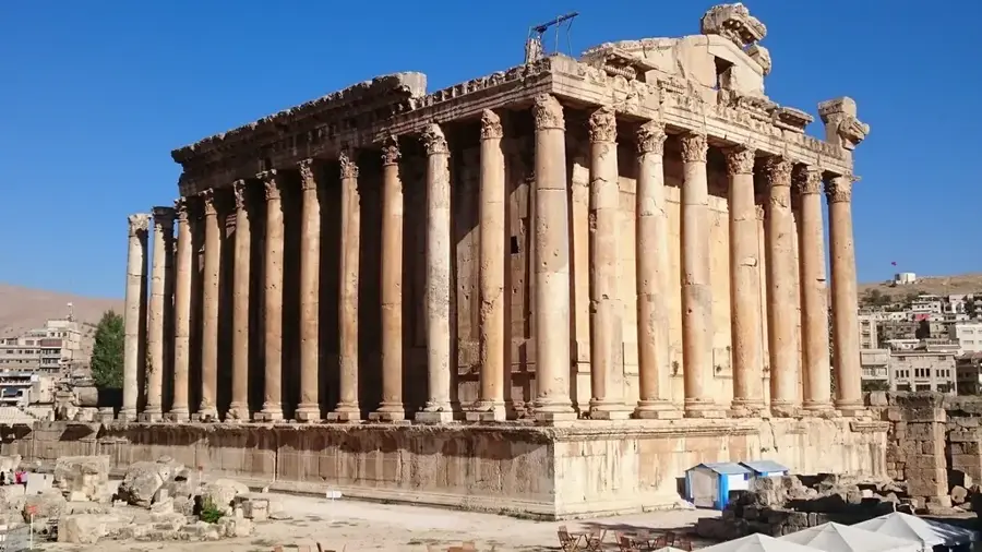

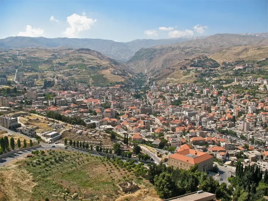
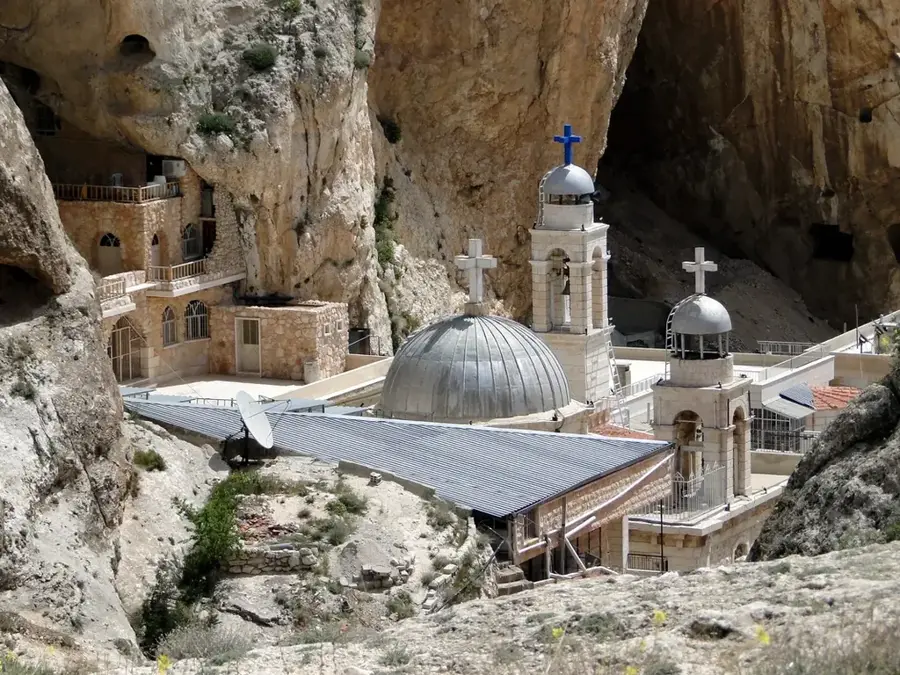
History & landmarks
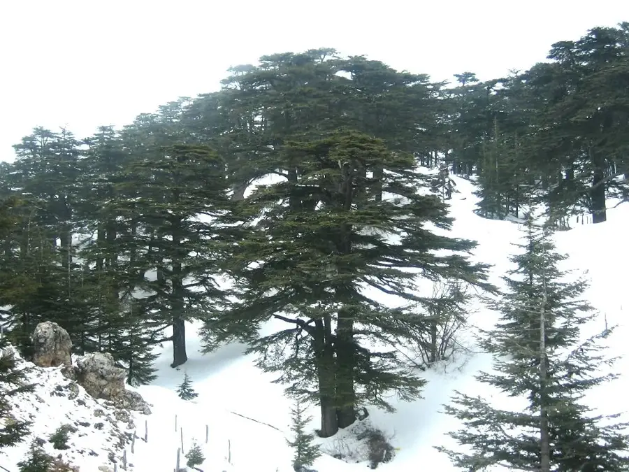
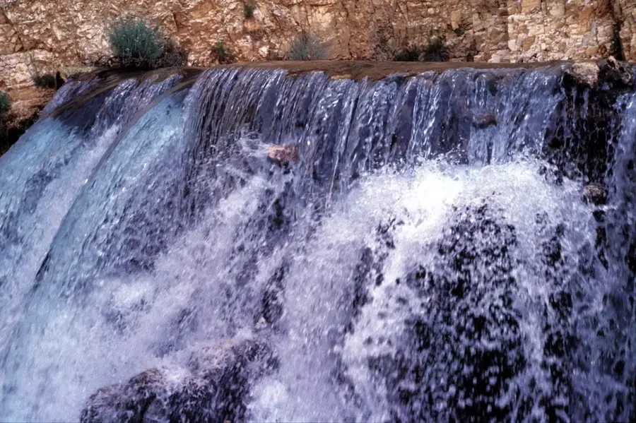
Nature
More places