Plizio Visual Lab
Anti-Lebanon Mountains

Weather…
Water temperature…
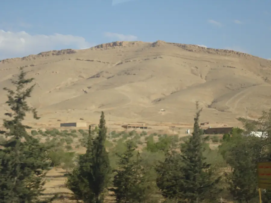
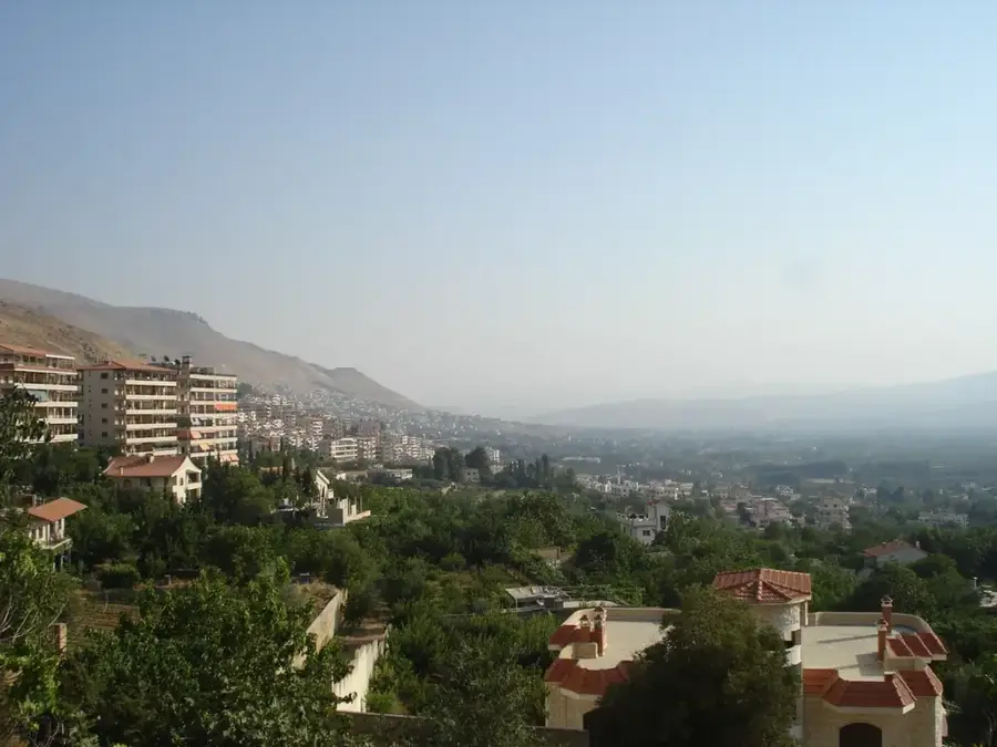
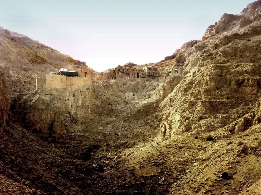
The Anti-Lebanon Mountains are a mountain range approximately 150 kilometers in length, running parallel to the Lebanon Mountains and forming the natural border between Syria and Lebanon. In contrast to the wetter Lebanon range to the west, the Anti-Lebanon is significantly more arid, resulting in a rugged, craggy karst landscape with sparse vegetation. The highest point of the range is Mount Hermon in the south, which towers at 2,814 meters and is vital for the water supply of the surrounding regions. Geologically, the range consists primarily of limestone and chalk, which has led to the formation of numerous caves and subterranean watercourses. Historically, these mountains served as a critical corridor for trade routes and military movements between Damascus and the Mediterranean coast. The strategic location of Damascus in the rain shadow of the Anti-Lebanon defined the city's development, as it relies on snowmelt from the peaks for its sustenance. Today, the range provides a habitat for rare species such as the Syrian brown bear and remains a key area for studying alpine biodiversity in the Middle East.
- Location: Syria
- Top sights: Qasr al Banat · Washal `Arana · Tempel mit Kymakapitell-Ordnung Muhafazat as-Suwaydaʾ
- Nearby: Bloudan (17 km)
Best time to visit & climate
The most pleasant time to visit is Jun, Jul, Sep.
| Jan | Feb | Mar | Apr | May | Jun | Jul | Aug | Sep | Oct | Nov | Dec | |
|---|---|---|---|---|---|---|---|---|---|---|---|---|
| Avg °C | 3 | 4 | 7 | 11 | 16 | 20 | 23 | 24 | 21 | 16 | 9 | 5 |
| Rain mm | 78 | 57 | 32 | 18 | 9 | 2 | 0 | 1 | 4 | 15 | 36 | 60 |
📋 Practical info
Geography
Facts
- The mountain range extends over a length of approximately 150 kilometers.
- Mount Hermon is the highest peak in the Anti-Lebanon range at 2,814 meters.
- The geology is dominated by limestone formations from the Jurassic and Cretaceous periods.
- The Barada River, which sustains Damascus, originates within this range.
- The average elevation of the main ridge is approximately 2,000 meters.
- The range is home to the ancient village of Maaloula, where Western Aramaic is still spoken.
Explore nearby
Notable places around
Route planner — Car & Motorhome
Where do you start? We build the route here, with stops and country notes along the way.
© OpenStreetMap contributors · OpenRouteService
Sights in the town Anti-Lebanon Mountains (3)
Sights nearby
Frequently asked questions
What are the Anti-Lebanon mountains?
Is hiking popular there?
What is there to see scenically?
Can one cross the border on foot?
Is there snow in winter?
Anti-Lebanon Mountains: where is it located?
Anti-Lebanon Mountains: what is there to see?
Anti-Lebanon Mountains: when is the best time to visit?
Anti-Lebanon Mountains: why is it worth visiting?

Nearby cities

History & landmarks
Nature
More places