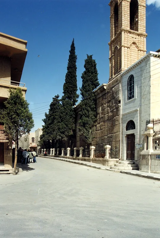
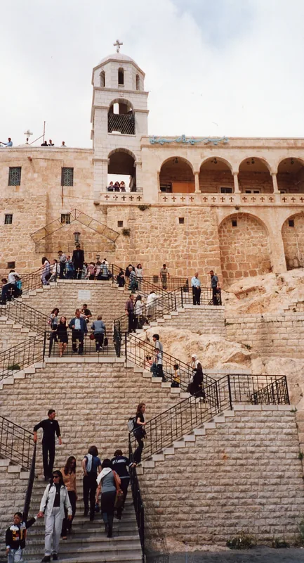
mGr@ mws~ (m&h)
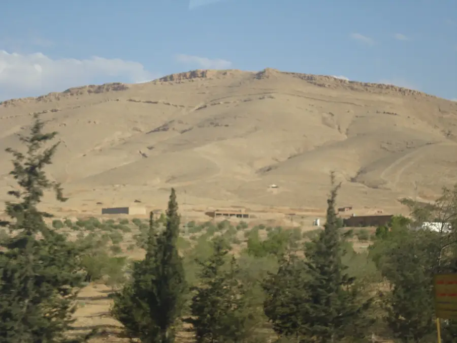
مغارة موسى (m&h) is a viewpoint in Zabadani, overlooking the area.
Plizio Visual Lab
These are considered the best in Syria; buy them fresh from roadside stands in the valley.
Many local valley restaurants specialize in chicken grilled over open charcoal pits.
In the autumn, you can find vendors selling walnuts harvested directly from the local groves.
Found all along the main roads, offering seasonal fruits and homemade preserves.
Look for natural products sourced from the surrounding mountain villages.
Away from the main road, you can find quiet paths following the stream through the orchards.
The higher slopes of the Anti-Lebanon range offer solitude and wide panoramic views.
Water temperature…
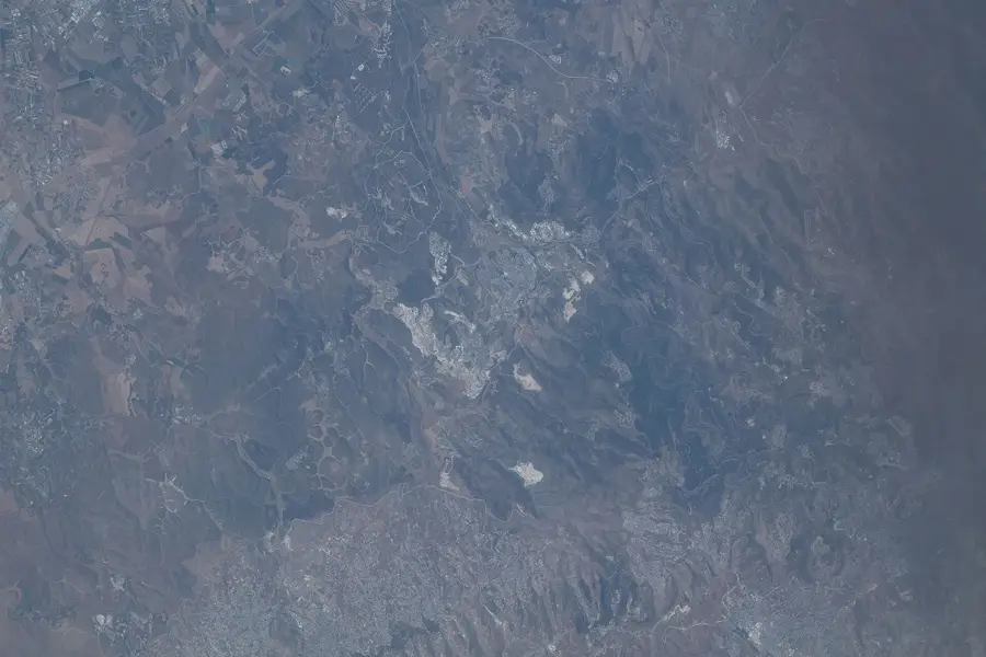
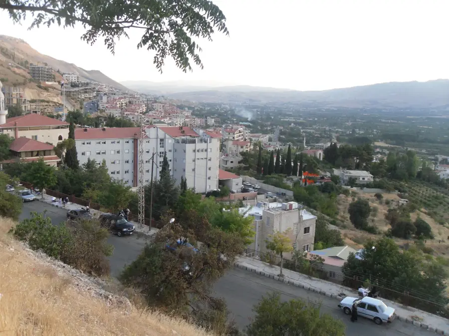
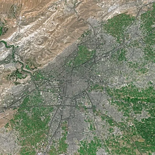
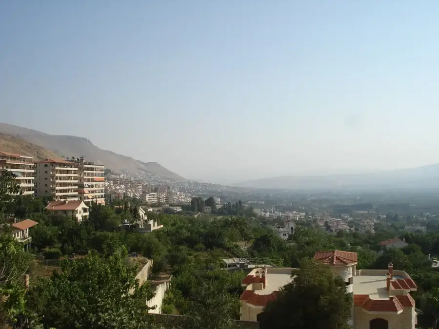
Zabadani lies in a closed mountain basin of the Anti-Lebanon range at about 1100 meters above sea level, some 45 kilometers northwest of Damascus on the rail line that once connected the capital with Beirut. The fertile plateau is fed by numerous springs that also form the headwaters of the Barada River supplying Damascus. This abundance of water, the mild climate and the vast orchards of apples, apricots and cherries long made Zabadani the de facto summer capital of Syria, particularly popular with affluent Damascenes and Gulf tourists. The historic narrow-gauge Damascus-Hama-Beirut railway once ran through the valley and partly survives as a technical monument. Local economy is based on apple varieties, spring-water bottling and summer residences. During the civil war the town was heavily damaged and besieged for years, and the return of tourism remains slow and fragile.
The most pleasant time to visit is May, Jun, Sep.
| Jan | Feb | Mar | Apr | May | Jun | Jul | Aug | Sep | Oct | Nov | Dec | |
|---|---|---|---|---|---|---|---|---|---|---|---|---|
| Avg °C | 5 | 6 | 10 | 14 | 19 | 24 | 26 | 26 | 23 | 19 | 11 | 7 |
| Rain mm | 69 | 57 | 29 | 18 | 7 | 1 | 0 | 0 | 2 | 13 | 35 | 57 |
Notable places around
Where do you start? We build the route here, with stops and country notes along the way.
© OpenStreetMap contributors · OpenRouteService
مغارة موسى (m&h) is a viewpoint in Zabadani, overlooking the area.