Plizio Visual Lab
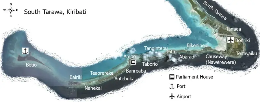
Betio Port

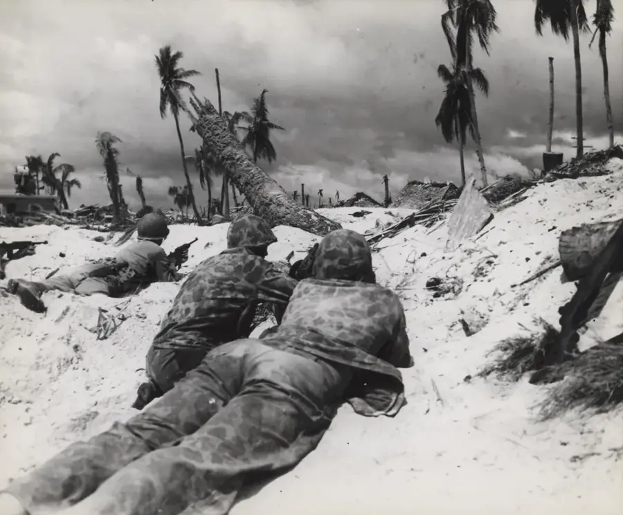
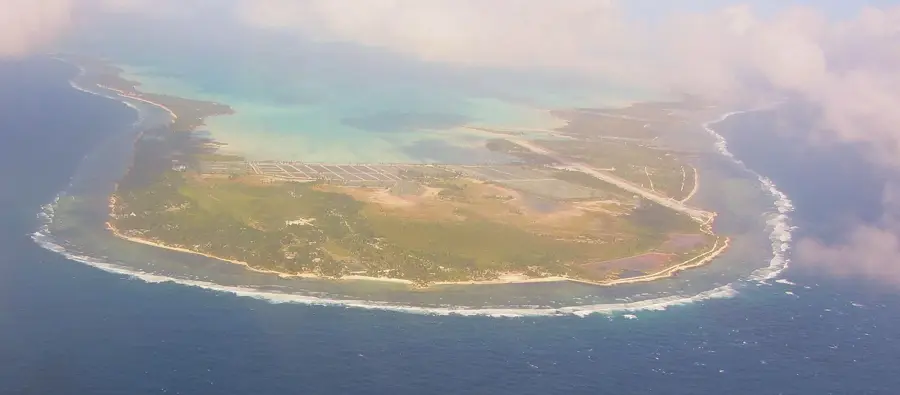
Betio Port serves as the critical economic gateway for Kiribati, handling the vast majority of the island nation's international trade. Located on the southwestern tip of South Tarawa, the port is responsible for the intake of essential goods, including fuel, food supplies, and construction materials. A significant milestone in its history was the extensive modernization completed in 2014, funded by Japanese grants (JICA), which provided the region's only deep-water berthing facility. This upgrade included the dredging of the access channel and the expansion of container storage, drastically improving logistical efficiency in the Central Pacific. Beyond its role in imports, the port is the primary shipping point for copra exports, Kiribati's main agricultural commodity. The surrounding area also holds immense historical weight, as Betio was the site of the fierce Battle of Tarawa during World War II, with remnants of the conflict still visible near the industrial waterfront.
- Location: Kiribati
- Top sights: St. Paul's Millennium Church · SDA Betio Church · The Church of Jesus Christ of Latter-day Saints
- Nearby: Bairiki Business District (6 km)
Best time to visit & climate
The most pleasant time to visit is Sep–Nov.
| Jan | Feb | Mar | Apr | May | Jun | Jul | Aug | Sep | Oct | Nov | Dec | |
|---|---|---|---|---|---|---|---|---|---|---|---|---|
| Avg °C | 28 | 28 | 28 | 28 | 28 | 28 | 28 | 28 | 28 | 28 | 28 | 28 |
| Rain mm | 212 | 157 | 220 | 171 | 103 | 136 | 119 | 107 | 92 | 95 | 95 | 208 |
📋 Practical info
Geography
Facts
- Container throughput: 50,000 TEU/year (2019)
- Number of cranes: 3
- Water depth: 10 m
- Expansion: 2015
- Main exports: copra and fish
- Berths: 5
Explore nearby
Notable places around
Route planner — Car & Motorhome
Where do you start? We build the route here, with stops and country notes along the way.
© OpenStreetMap contributors · OpenRouteService
Sights in the town Betio Port (8)
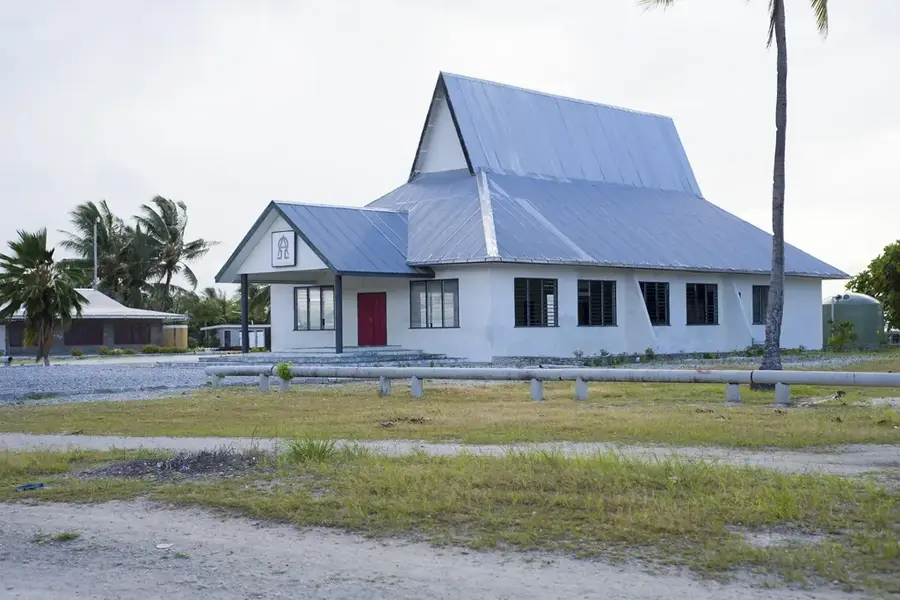
The Church of Jesus Christ of Latter-day Saints
Latter-day Saint church in Betio. Meeting place for Mormons.
LDS CHURCH
House of worship of The Church of Jesus Christ of Latter-day Saints in Betio.
marewen teriki
Sandy beach along the Betio coastline. Used for swimming and relaxation.
mary's beach
Beach section in Betio with fine sand. Local spot for bathing.
Sights nearby
Frequently asked questions
What role does Betio Port play?
Can tourists visit the port?
What is mainly handled here?
Are there wrecks in the port area?
Is the port lit at night?
Betio Port: where is it located?
Betio Port: what is there to see?
Betio Port: when is the best time to visit?
Betio Port: why is it worth visiting?

Nearby cities


History & landmarks

Nature
More places