Plizio Visual Lab
Bárðarbunga
Weather…
Water temperature…
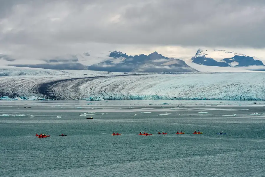
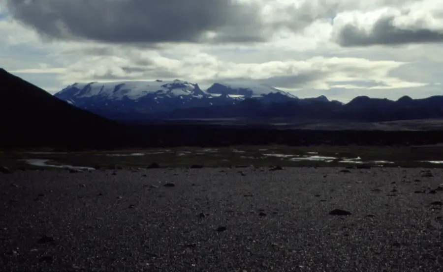
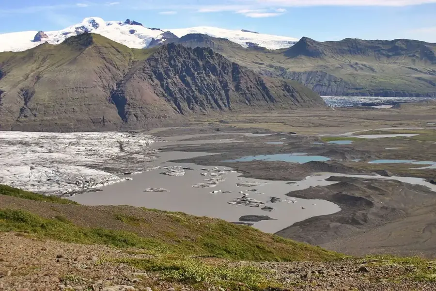
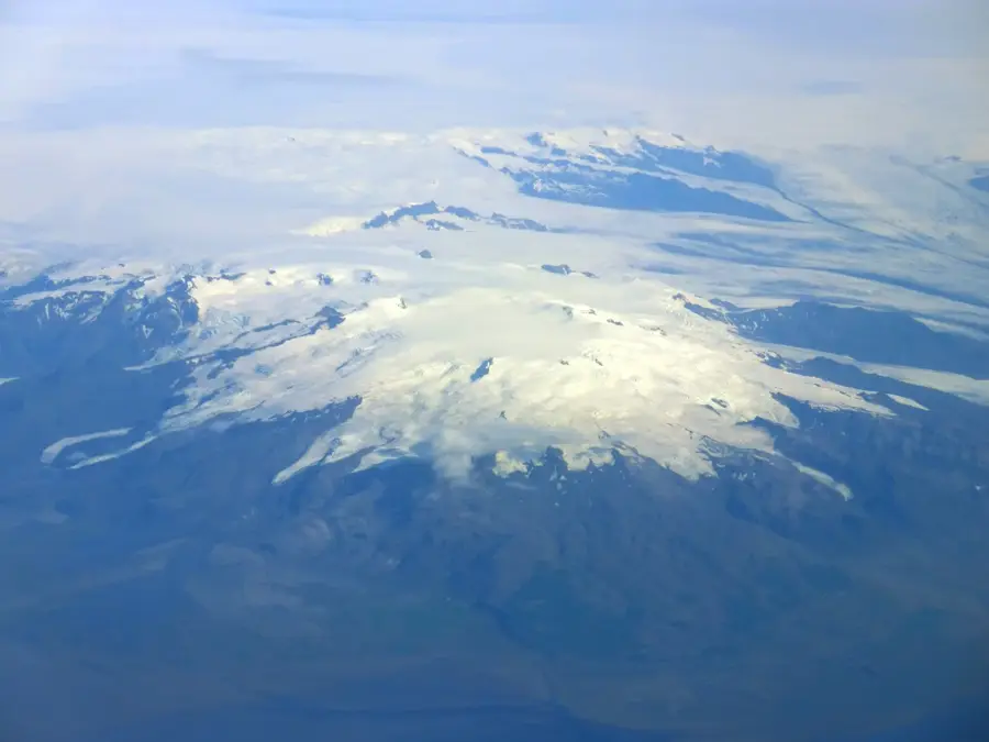
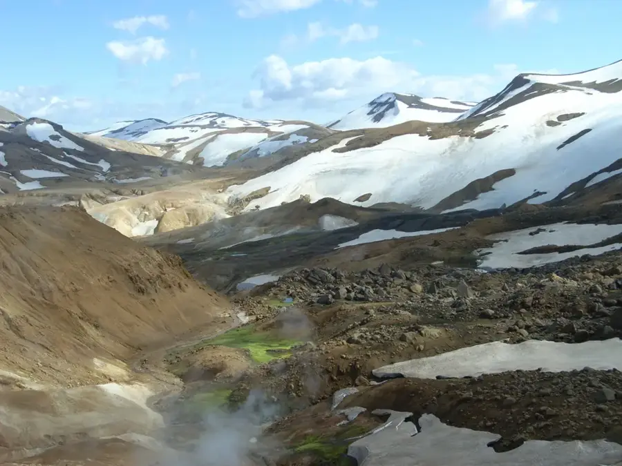
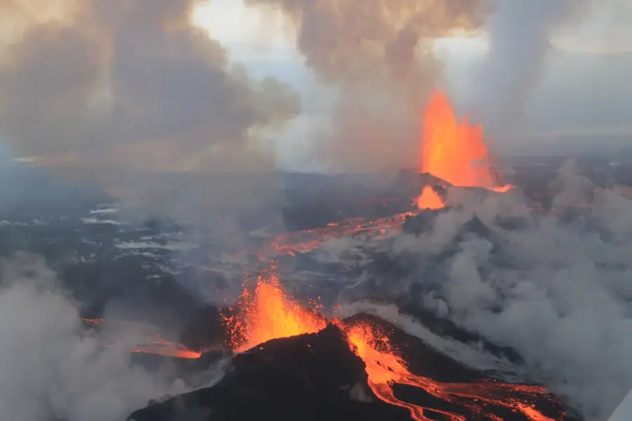
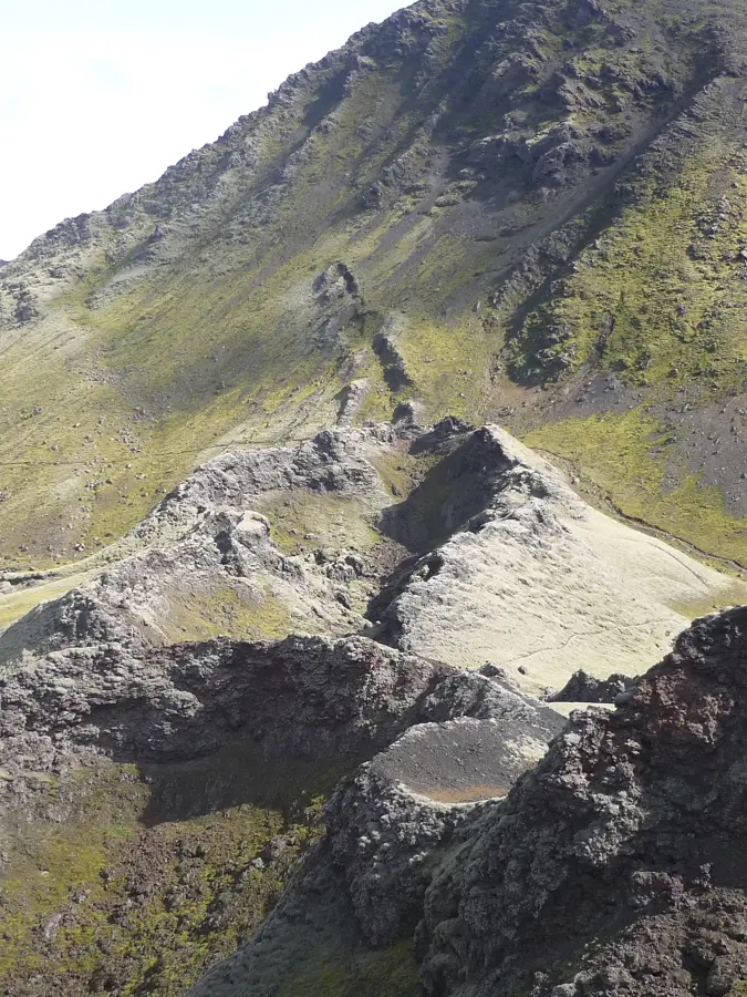
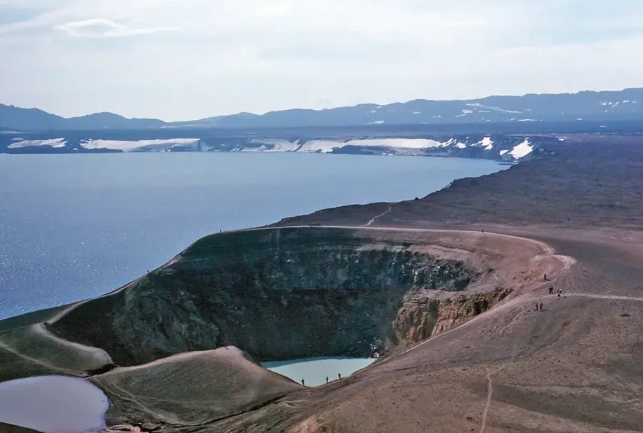
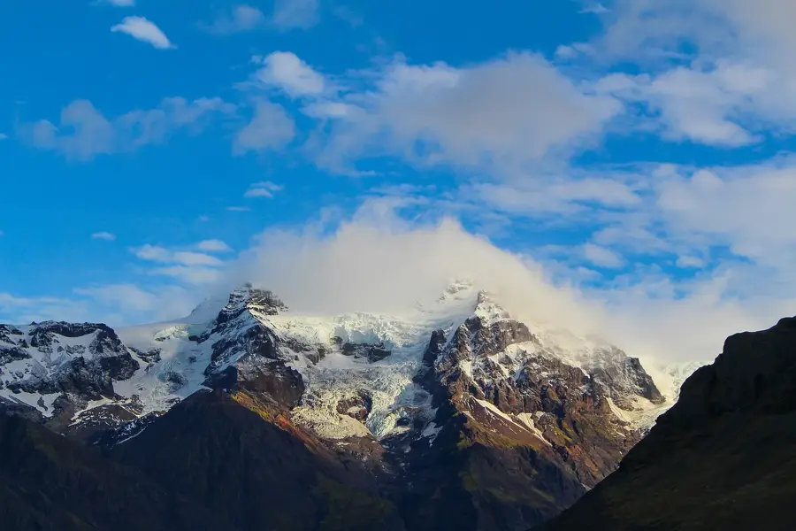
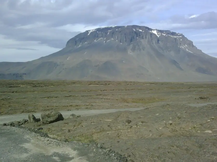
Bárðarbunga is a massive, ice-covered stratovolcano located beneath the northwestern part of the Vatnajökull glacier in the Icelandic Highlands. Standing at 2,009 meters, it is the second-highest mountain in Iceland and the centerpiece of a vast volcanic system extending for 190 kilometers. The volcano features an impressive caldera measuring approximately 10 by 11 kilometers, which is up to 700 meters deep and entirely filled with glacial ice. Historically, Bárðarbunga has been responsible for some of the largest lava flows on Earth, including the Thjórsá lava flow roughly 8,500 years ago. In recent times, the volcano gained global attention during the Holuhraun eruption in 2014-2015, which produced the largest lava field in Iceland since the 18th century. Due to its subglacial position, eruptions pose a severe threat of jökulhlaups (glacial floods) that can devastate surrounding regions. Scientists monitor the volcano continuously using advanced seismological equipment, as its activity frequently interacts with other systems like Grímsvötn. Its remote and inhospitable location makes on-site research extremely challenging, requiring specialized expeditions to access the area.
- Location: Iceland
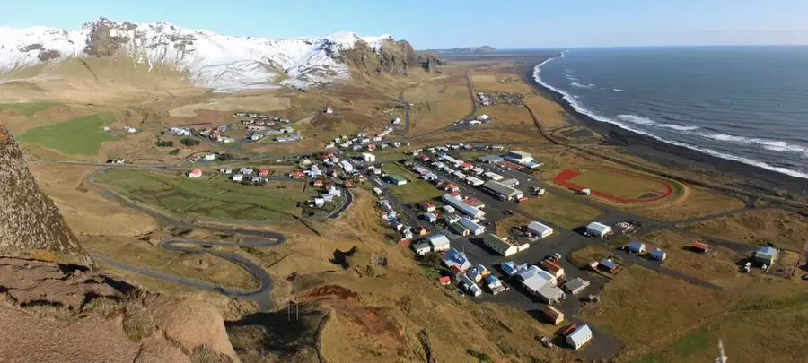
- Nearby: Skaftafell (74 km)
Best time to visit & climate
The most pleasant time to visit is Jun–Aug.
| Jan | Feb | Mar | Apr | May | Jun | Jul | Aug | Sep | Oct | Nov | Dec | |
|---|---|---|---|---|---|---|---|---|---|---|---|---|
| Avg °C | -8 | -8 | -8 | -6 | -3 | 0 | 1 | 1 | -1 | -4 | -7 | -8 |
| Rain mm | 327 | 298 | 269 | 219 | 144 | 116 | 144 | 171 | 284 | 273 | 268 | 322 |
📋 Practical info
Geography
Facts
- Bárðarbunga is the second-highest peak in Iceland at 2,009 meters.
- Its subglacial caldera is approximately 700 meters deep.
- The volcanic system associated with it is 190 kilometers long.
- The Holuhraun eruption in 2014 produced 1.5 cubic km of lava.
- It was the source of the Thjórsá lava, the largest flow in the Holocene.
- The volcano is situated under the northwest part of Vatnajökull.
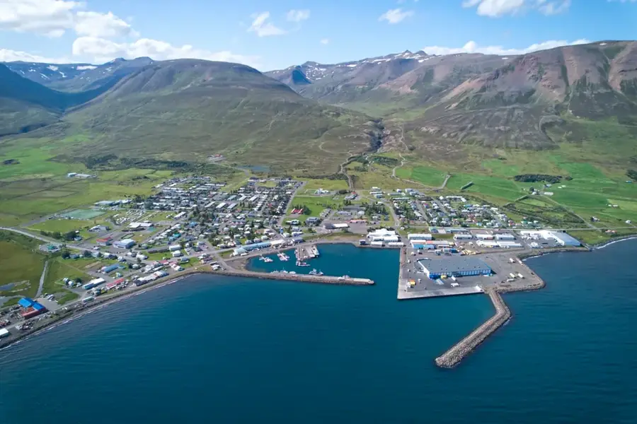
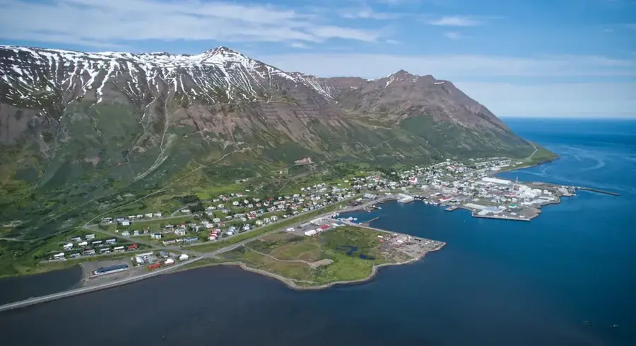
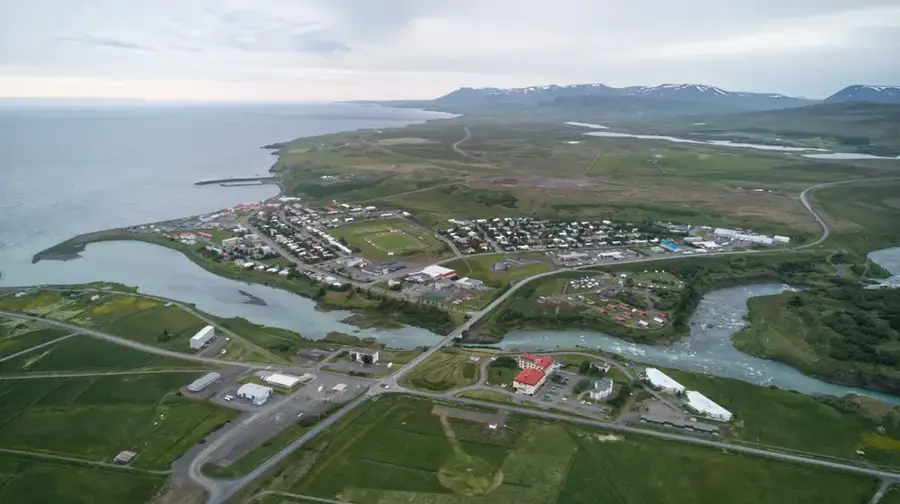
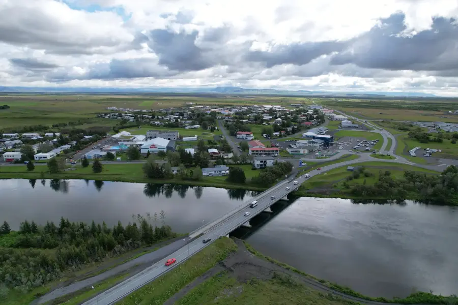
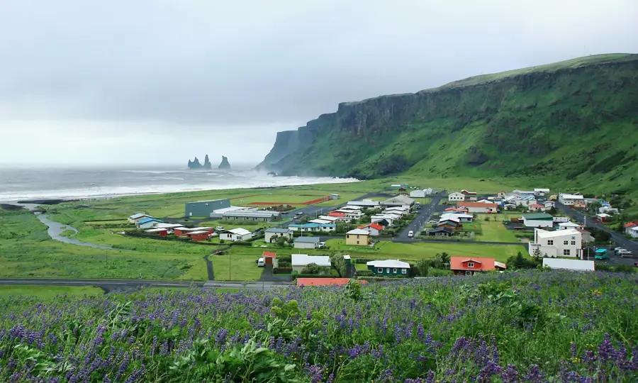
Explore nearby
Notable places around
Route planner — Car & Motorhome
Where do you start? We build the route here, with stops and country notes along the way.
© OpenStreetMap contributors · OpenRouteService
Sights nearby
Frequently asked questions
What is Bárðarbunga?
When was the last eruption?
Is the volcano accessible to tourists?
Is Bárðarbunga dangerous?
What happens during a subglacial eruption?
Bárðarbunga: where is it located?
Bárðarbunga: when is the best time to visit?
Bárðarbunga: why is it worth visiting?

Nearby cities


History & landmarks

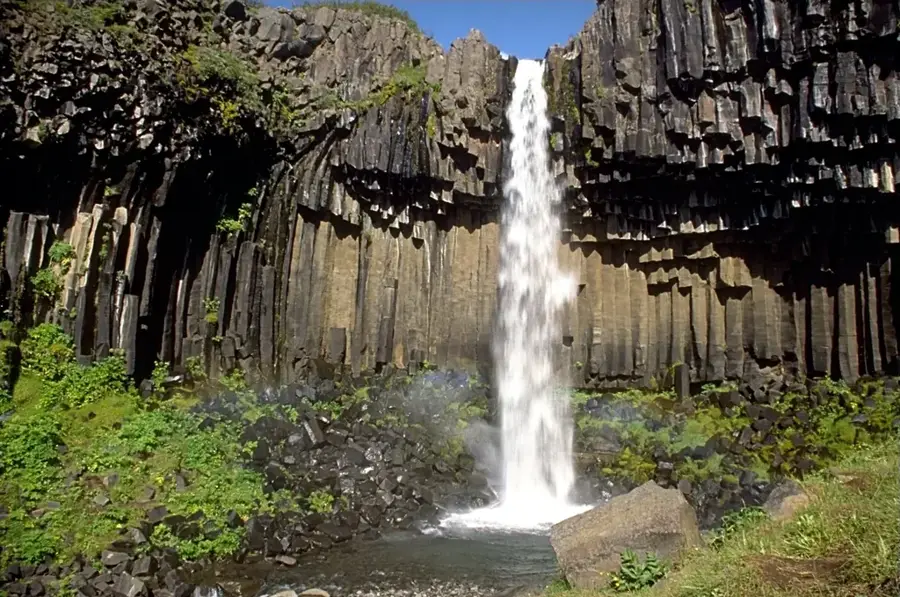
Nature
More places