Plizio Visual Lab
Vatnajökull
Weather…
Water temperature…
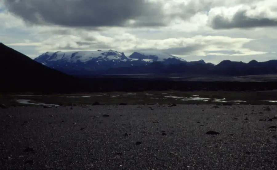
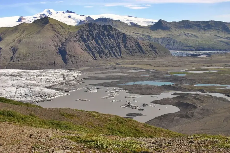
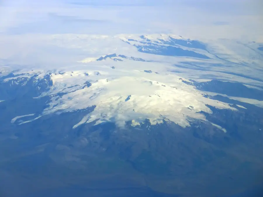
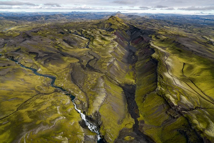
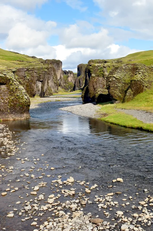
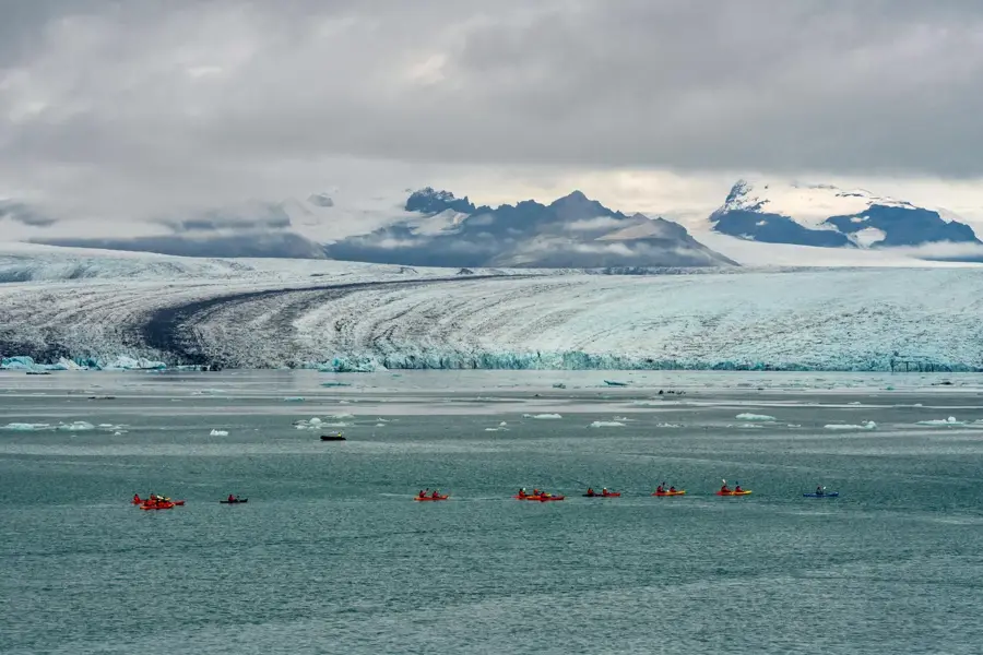
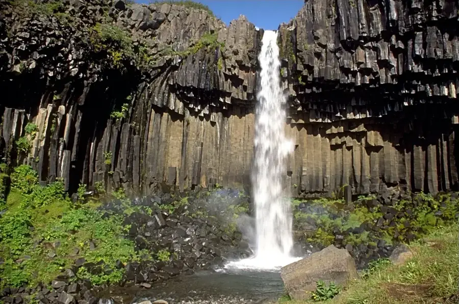
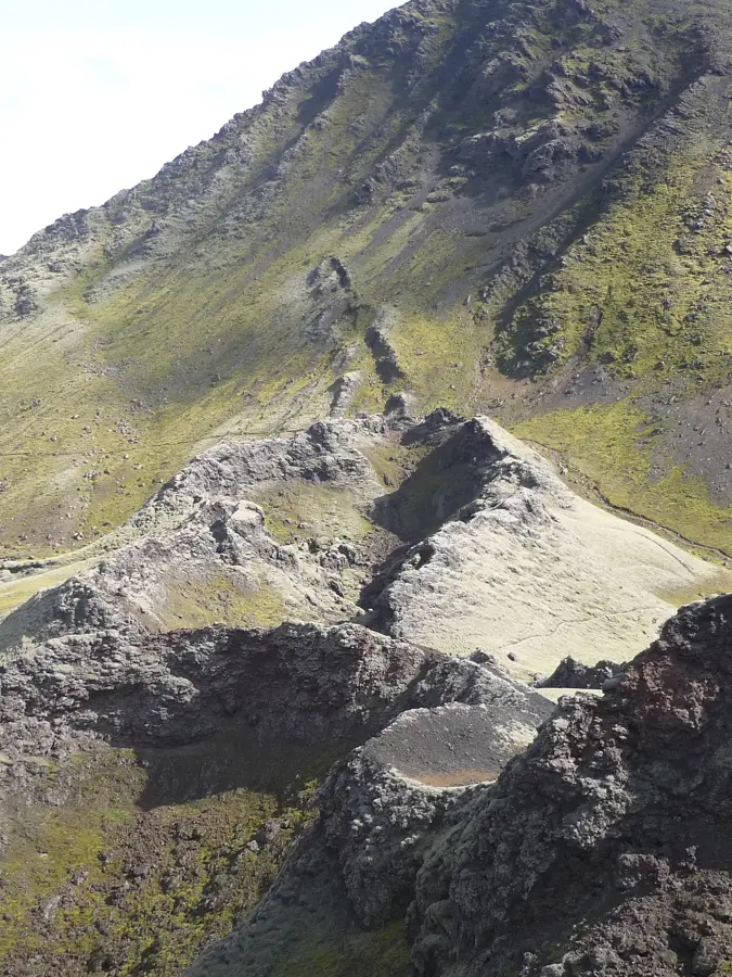
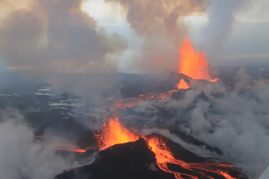
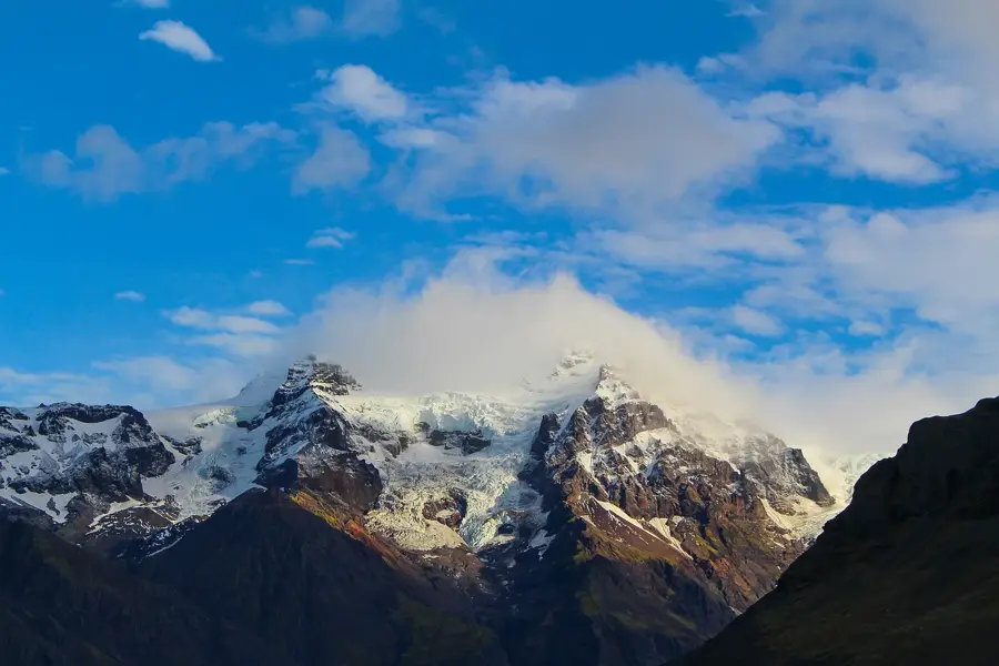
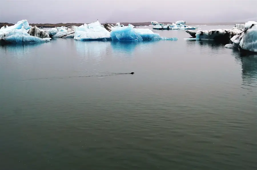
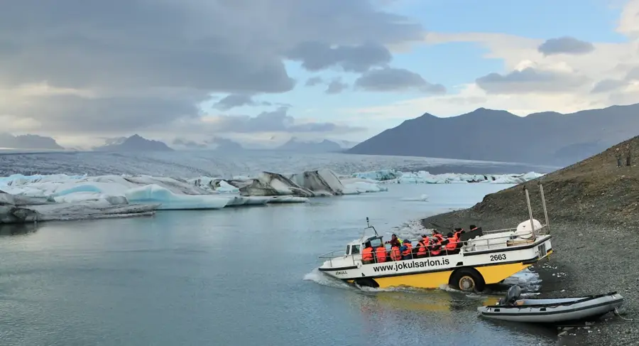
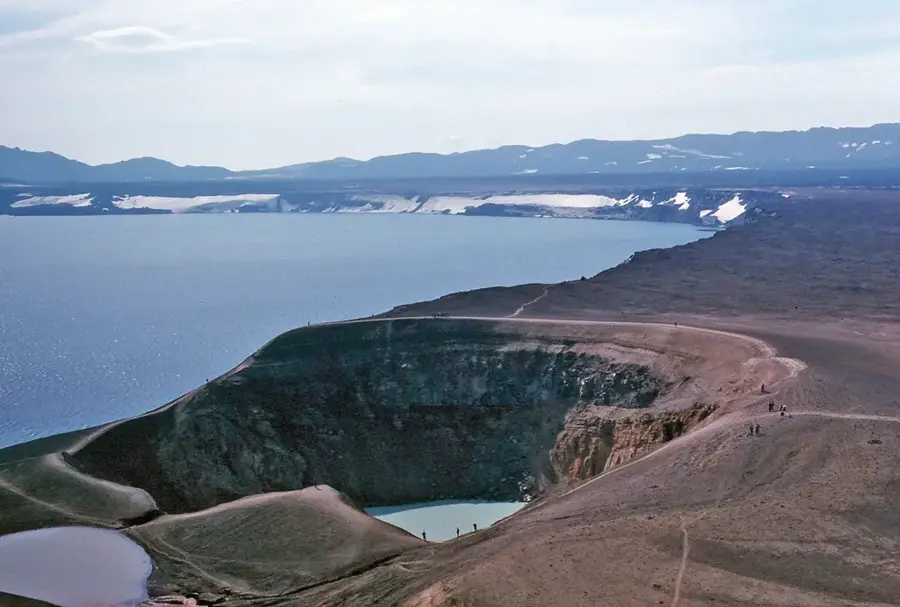
Vatnajökull is the largest glacier in Iceland and one of the most voluminous in Europe, covering approximately eight percent of the island's total landmass. With an area of around 7,900 square kilometers, it dominates the southeastern part of the country and reaches an average ice thickness of about 400 meters. Beneath the massive ice cap lie some of Iceland's most active volcanoes, including Grímsvötn and Öræfajökull, whose eruptions often trigger catastrophic glacial floods known as jökulhlaups. The glacier's plateau acts as a vast water reservoir, feeding numerous major rivers and significantly influencing the regional climate. In 2008, the Vatnajökull National Park was established, which now encompasses nearly 14 percent of Iceland's territory and was designated a UNESCO World Heritage site in 2019. The landscape is characterized by deep blue glacier tongues, massive crevasses, and distinct layers of volcanic ash trapped within the ice. The glacier is a critical research site for glaciologists and climate scientists worldwide to study the effects of global warming on arctic ice sheets. For visitors, the glacier's periphery provides spectacular sites such as the Jökulsárlón lagoon, where icebergs drift toward the ocean.
- Location: Iceland
- Top sights: Grímsvötn · Iceland hotspot
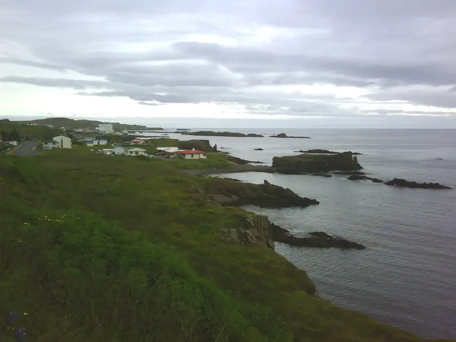
- Nearby: Skaftafell (48 km)
Best time to visit & climate
The most pleasant time to visit is Jun–Aug.
| Jan | Feb | Mar | Apr | May | Jun | Jul | Aug | Sep | Oct | Nov | Dec | |
|---|---|---|---|---|---|---|---|---|---|---|---|---|
| Avg °C | -8 | -8 | -8 | -6 | -3 | 0 | 1 | 1 | -1 | -4 | -7 | -8 |
| Rain mm | 327 | 298 | 269 | 219 | 144 | 116 | 144 | 171 | 284 | 273 | 268 | 322 |
📋 Practical info
Geography
Facts
- Vatnajökull covers approximately 8% of Iceland's total land area.
- The average thickness of the ice cap is around 400 meters.
- At its thickest point, the glacier reaches a depth of 950 meters.
- Several active volcanic systems lie hidden beneath the ice sheet.
- The glacier was designated a UNESCO World Heritage site in 2019.
- The total area of the glacier is approximately 7,900 square kilometers.
Explore nearby
Notable places around
Route planner — Car & Motorhome
Where do you start? We build the route here, with stops and country notes along the way.
© OpenStreetMap contributors · OpenRouteService
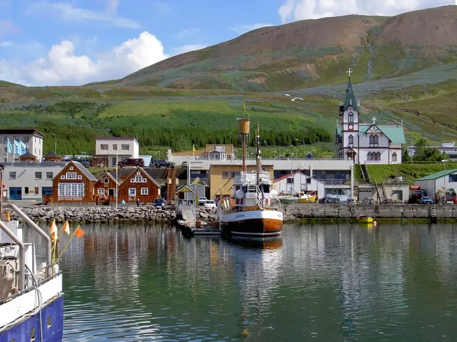
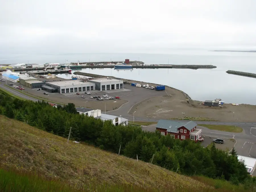
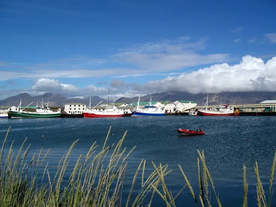
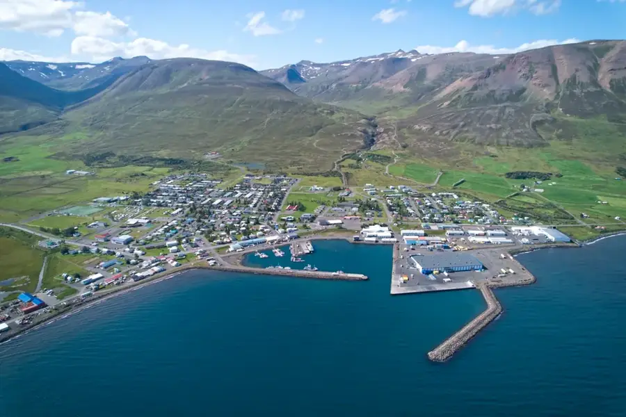
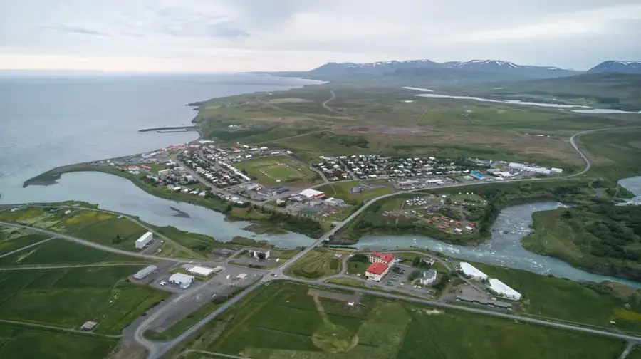
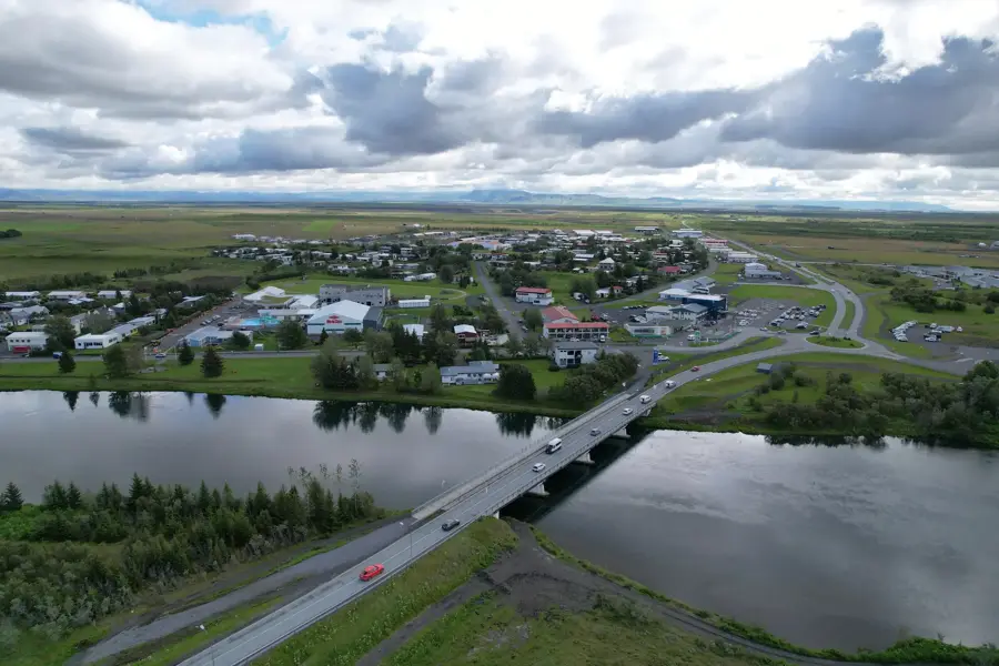
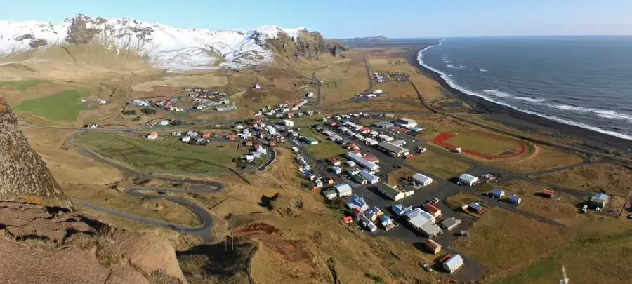
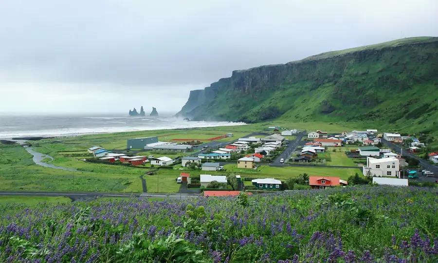
Sights in the town Vatnajökull (2)
Sights nearby
Frequently asked questions
How large is Vatnajökull?
What activities are offered on the glacier?
Can I go on the glacier alone?
When can you visit ice caves?
Are there volcanoes under the ice?
Vatnajökull: where is it located?
Vatnajökull: what is there to see?
Vatnajökull: when is the best time to visit?
Vatnajökull: why is it worth visiting?

Nearby cities


History & landmarks

Nature
More places