Plizio Visual Lab
Askja
Weather…
Water temperature…
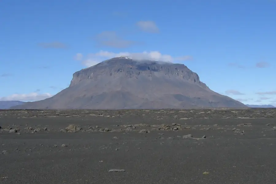
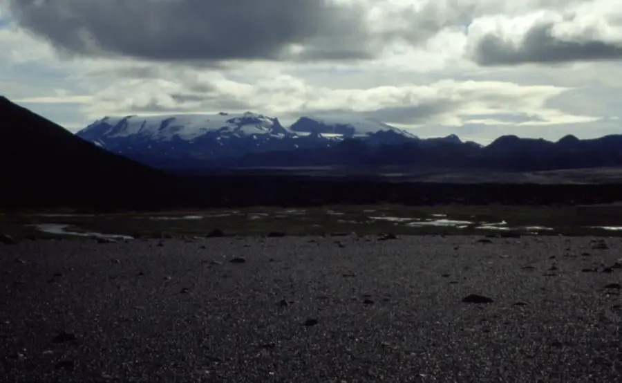
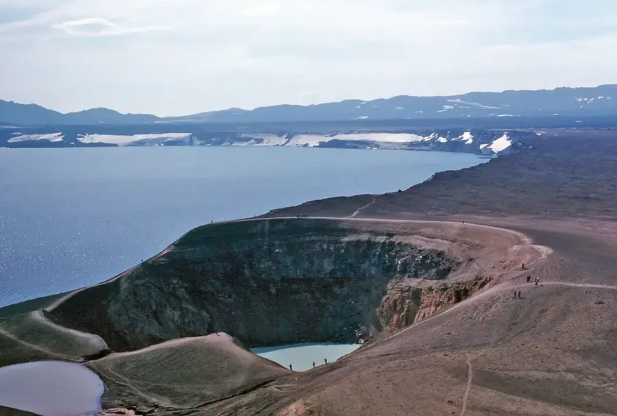
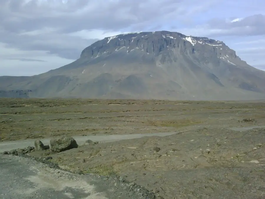
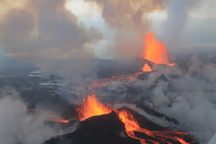
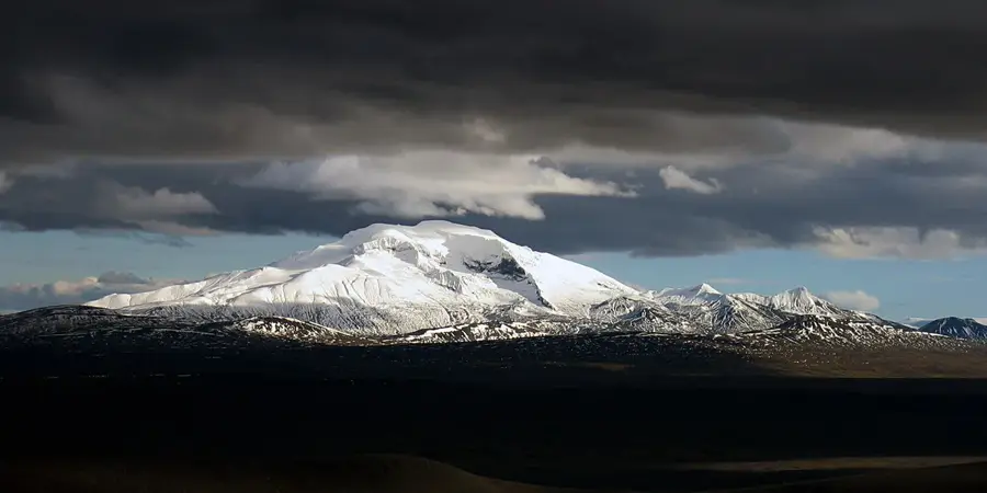
Askja is a massive volcanic caldera situated in the Dyngjufjöll mountains, deep within Iceland's remote central Highlands north of the Vatnajökull glacier. Covering an area of about 50 square kilometers, the caldera was formed through several collapses following major volcanic eruptions. The most significant eruption in historical times occurred in 1875, discharging vast amounts of tephra that devastated eastern Iceland and triggered a large-scale emigration to North America. Within the caldera lies Lake Öskjuvatn, which reached a depth of 220 meters, making it one of Iceland's deepest lakes, formed after the 1875 collapse. Adjacent to the lake is the smaller Víti crater, filled with milky blue geothermal water where visitors can bathe in a surreal setting. The barren, lunar-like landscape of Askja was used by NASA in the 1960s to train Apollo astronauts for their moon missions due to its unique geological features. Because of its extreme isolation and challenging terrain, the site is only accessible during the summer months via specialized highland tracks.
- Location: Iceland
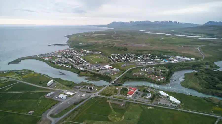
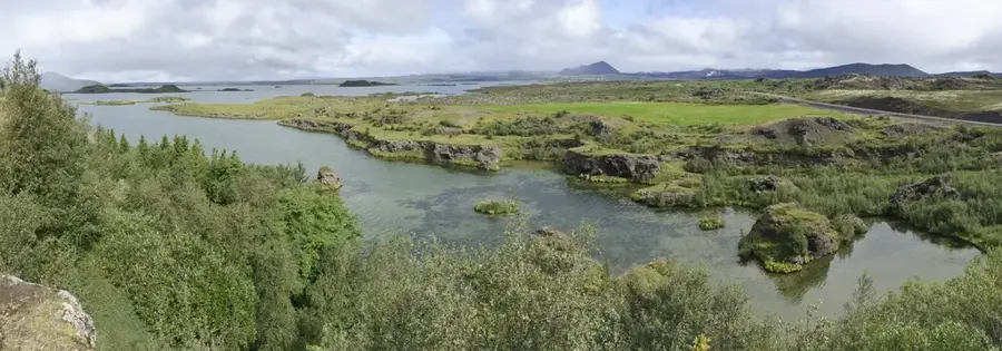
- Nearby: Lake Mývatn (64 km)
Best time to visit & climate
The most pleasant time to visit is Jun–Aug.
| Jan | Feb | Mar | Apr | May | Jun | Jul | Aug | Sep | Oct | Nov | Dec | |
|---|---|---|---|---|---|---|---|---|---|---|---|---|
| Avg °C | -7 | -7 | -6 | -4 | -1 | 3 | 4 | 3 | 1 | -2 | -5 | -7 |
| Rain mm | 79 | 66 | 71 | 63 | 67 | 57 | 83 | 80 | 90 | 95 | 95 | 90 |
📋 Practical info
Geography
Facts
- The Askja caldera covers a total surface area of approximately 50 sq km.
- Lake Öskjuvatn is 220 meters deep, making it one of Iceland's deepest lakes.
- The catastrophic 1875 eruption caused widespread famine and mass emigration.
- The geothermal water in Víti crater typically stays between 25 and 30 degrees Celsius.
- NASA conducted field training for Apollo astronauts here during the 1960s.
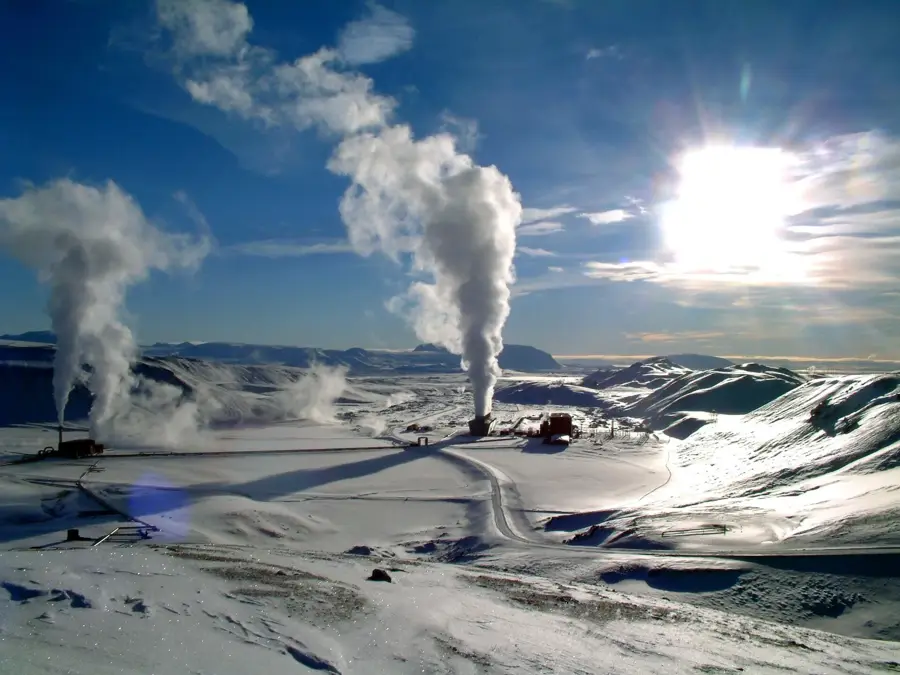
- Askja is located in a rain shadow, making it one of the driest places in Iceland.
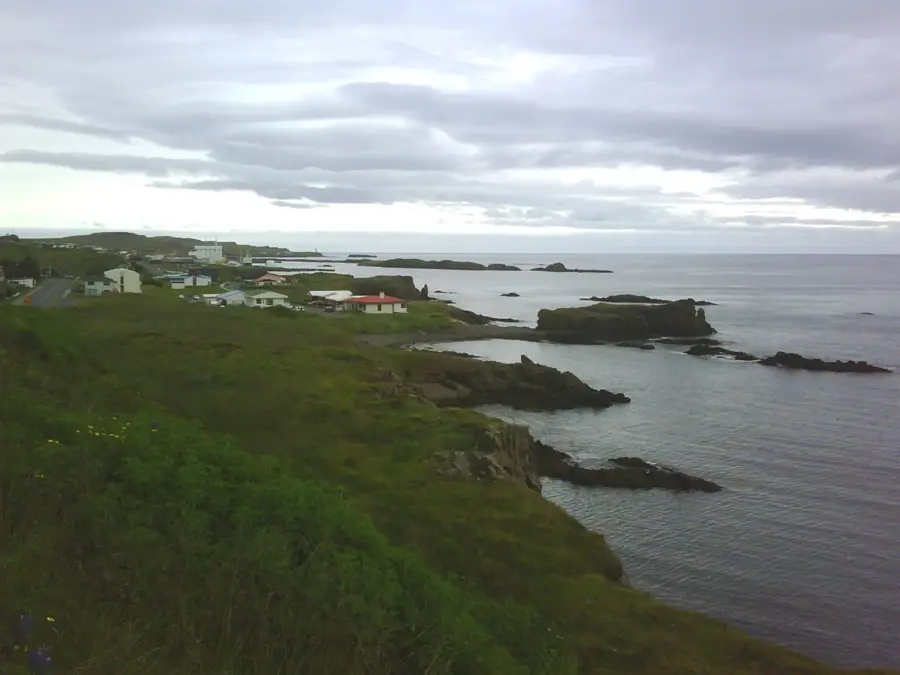
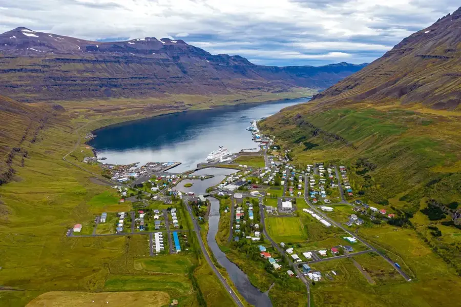
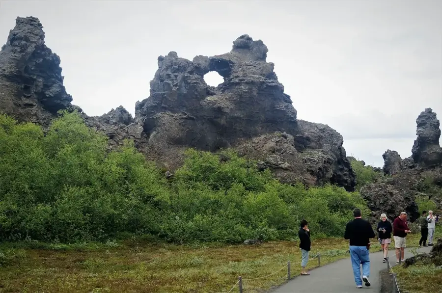
Explore nearby
Notable places around
Route planner — Car & Motorhome
Where do you start? We build the route here, with stops and country notes along the way.
© OpenStreetMap contributors · OpenRouteService
Sights in the town Askja (1)
Sights nearby
Frequently asked questions
Can you swim in the Viti crater?
Is the road to Askja difficult?
When is the road open?
How far is the hike from the parking lot?
Are there accommodations nearby?
Askja: where is it located?
Askja: when is the best time to visit?
Askja: why is it worth visiting?

Nearby cities


History & landmarks

Nature

More places