Plizio Visual Lab
Kverkfjöll
Weather…
Water temperature…
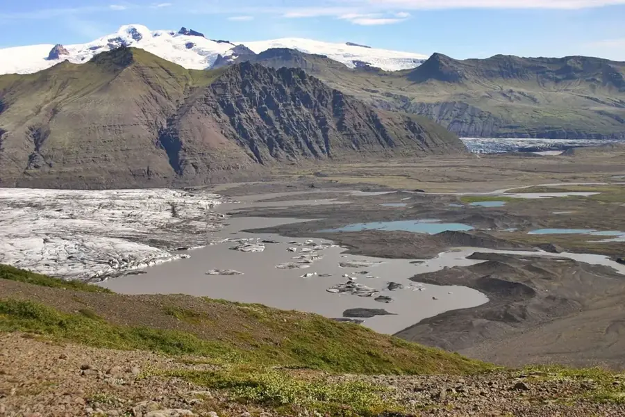
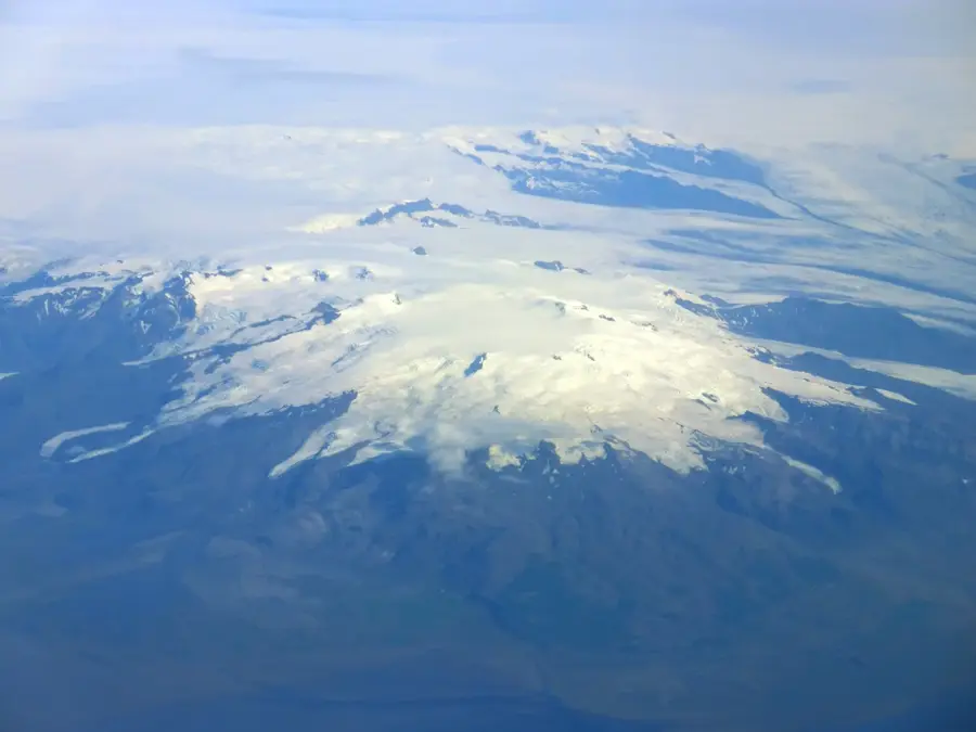
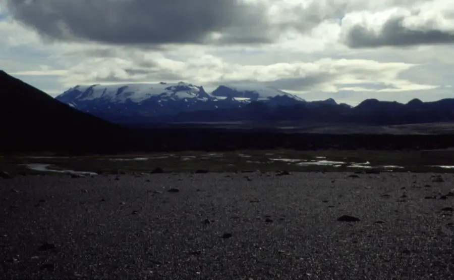
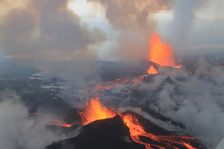
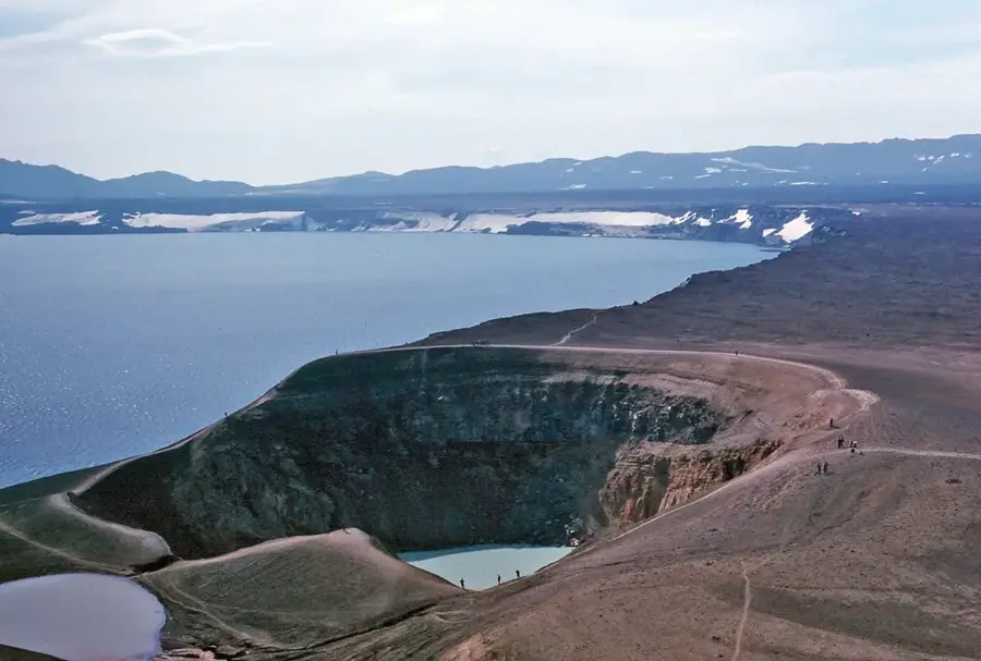
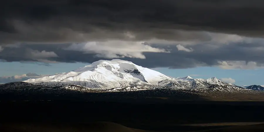
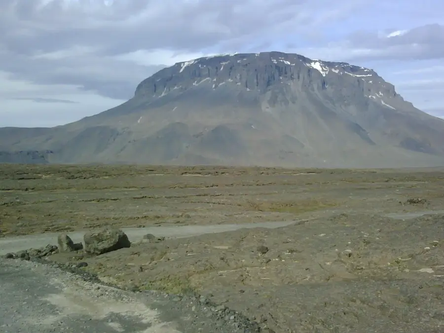
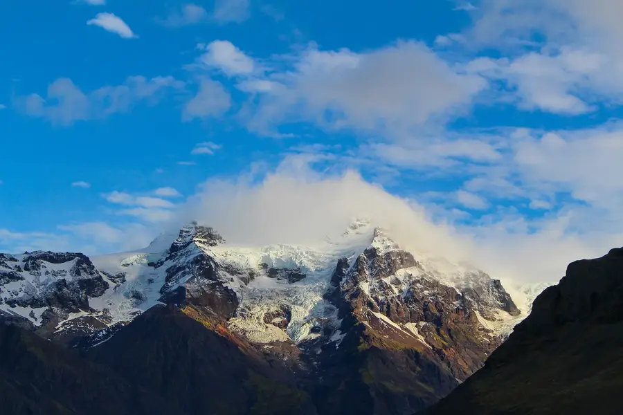
Kverkfjöll is a massive mountain range located on the northern edge of the Vatnajökull glacier in Iceland, reaching a maximum elevation of 1920 meters. Geologically, it is one of the country's most active central volcanoes, situated directly on the rift zone between tectonic plates. The region is world-renowned for its spectacular ice caves, which are carved into the glacier's edge by ascending geothermal steam. Due to the intense heat beneath the ice, massive glacial outbursts known as jökulhlaups occur frequently, shaping the surrounding highland landscape. The Kverkfjöll mountains are divided into eastern and western sections by the deep Kverk pass. Visiting this remote area is only possible during the summer months using specialized off-road vehicles via challenging highland tracks. Scientists utilize the region extensively to study the complex interactions between active volcanism and massive continental ice caps.
- Location: Iceland
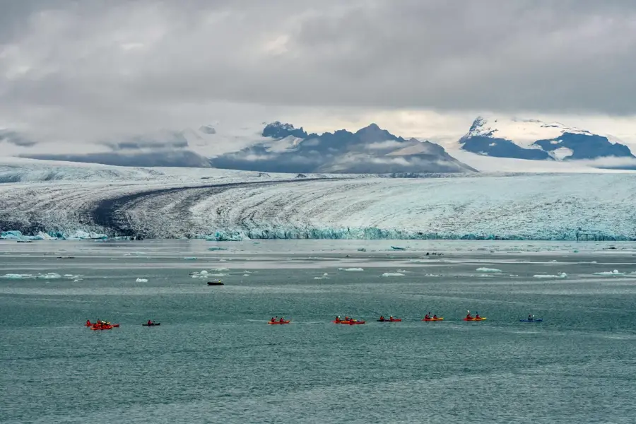
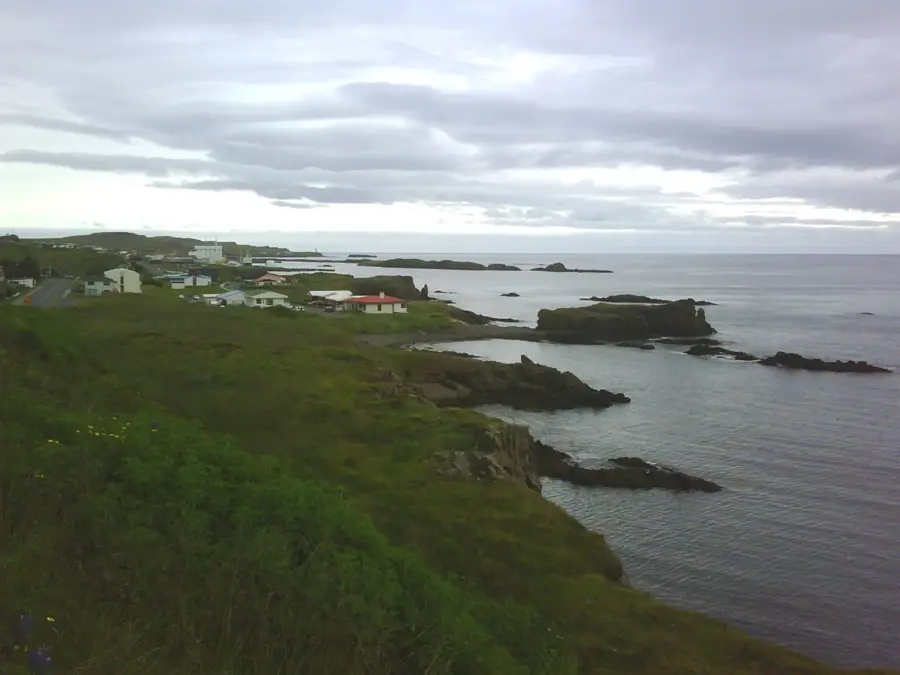
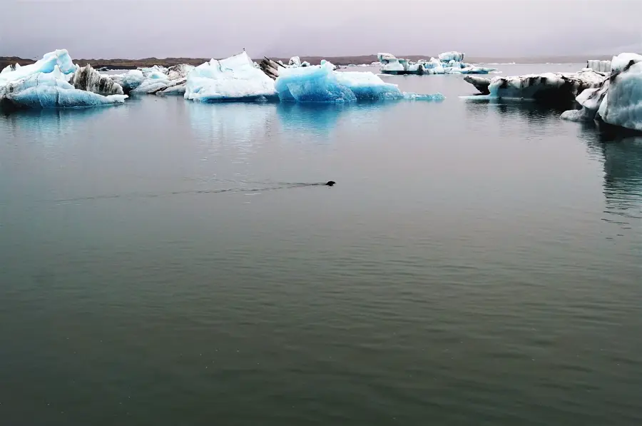
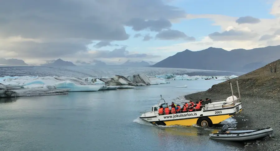
- Nearby: Jökulsárlón (69 km)
Best time to visit & climate
The most pleasant time to visit is Jun–Aug.
| Jan | Feb | Mar | Apr | May | Jun | Jul | Aug | Sep | Oct | Nov | Dec | |
|---|---|---|---|---|---|---|---|---|---|---|---|---|
| Avg °C | -8 | -8 | -8 | -6 | -3 | 0 | 2 | 1 | 0 | -4 | -7 | -8 |
| Rain mm | 324 | 295 | 260 | 218 | 161 | 138 | 171 | 196 | 262 | 315 | 285 | 310 |
📋 Practical info
Geography
Facts
- The highest peak reaches 1920 meters above sea level.
- The mountain range covers an area of approximately 100 km².
- Temperatures inside the ice caves can exceed 50 °C.
- The last significant volcanic activity was recorded in 1968.
- It hosts one of the largest geothermal fields in Iceland.
- The distance to the Ring Road is about 130 kilometers of gravel track.
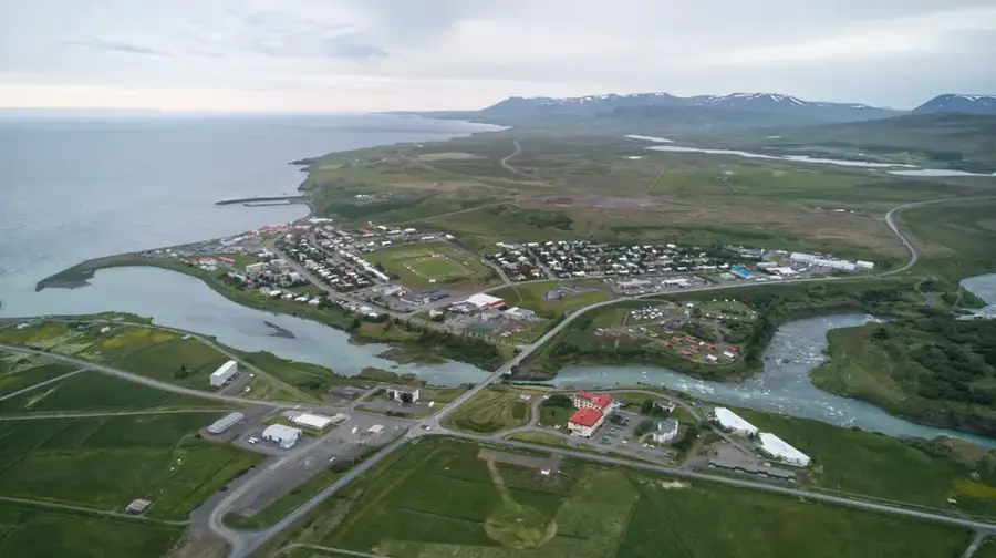
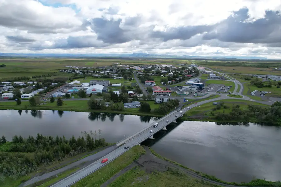
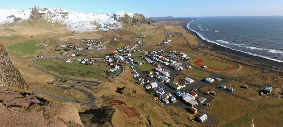
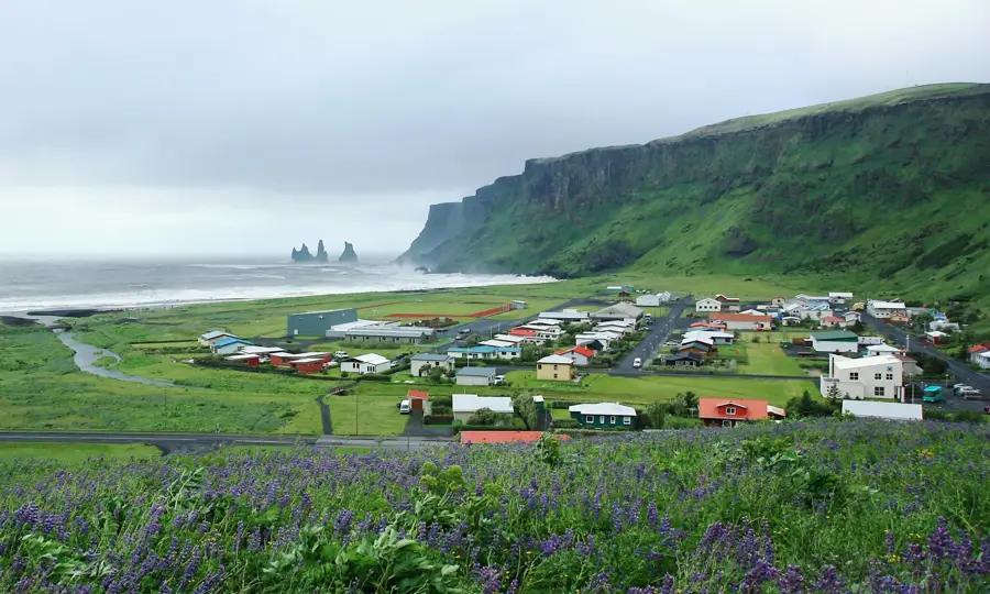
Explore nearby
Notable places around
Route planner — Car & Motorhome
Where do you start? We build the route here, with stops and country notes along the way.
© OpenStreetMap contributors · OpenRouteService
Sights nearby
Frequently asked questions
What is Kverkfjöll?
Are there ice caves there?
How do you get there?
Is there accommodation?
Is hiking there dangerous?
Kverkfjöll: where is it located?
Kverkfjöll: when is the best time to visit?
Kverkfjöll: why is it worth visiting?

Nearby cities


History & landmarks

Nature
More places