Plizio Visual Lab
Essequibo River
Weather…
Water temperature…
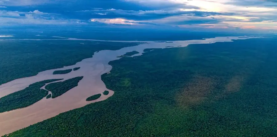
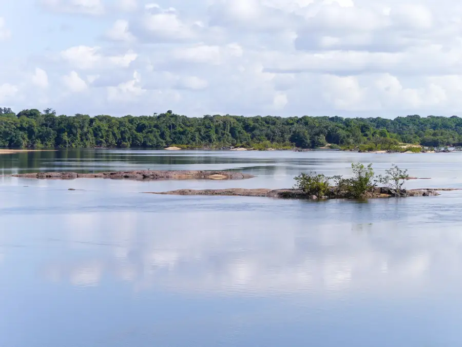
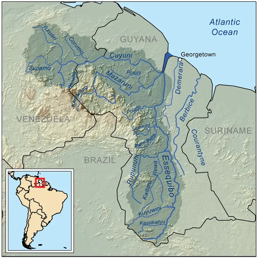
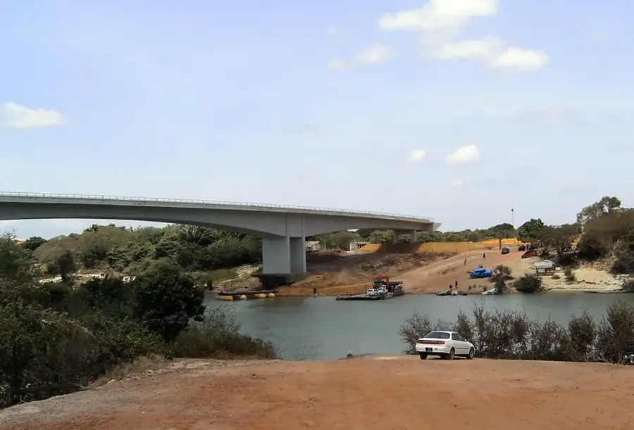
The Essequibo is the largest river in Guyana and one of the most significant waterways in South America, stretching approximately 1,010 kilometers in length. It rises in the Acarai Mountains on the border with Brazil and flows northward through dense rainforests and savannas before emptying into the Atlantic Ocean. The river's basin covers over 150,000 square kilometers and supports an incredible variety of flora and fauna. Its estuary is about 32 kilometers wide and contains several large islands, including Hog Island, Leguan, and Wakenaam. Historically, the river served as a vital lifeline for colonial powers and the indigenous peoples who have inhabited its banks for millennia. Today, it plays a central role in the nation's economy, particularly for resource transport and burgeoning ecotourism. Along its course, one can find spectacular waterfalls and rapids that present challenges for navigation but offer immense natural beauty. The Essequibo is a symbol of Guyana's untouched wilderness and vast natural wealth.
- Location: Guyana
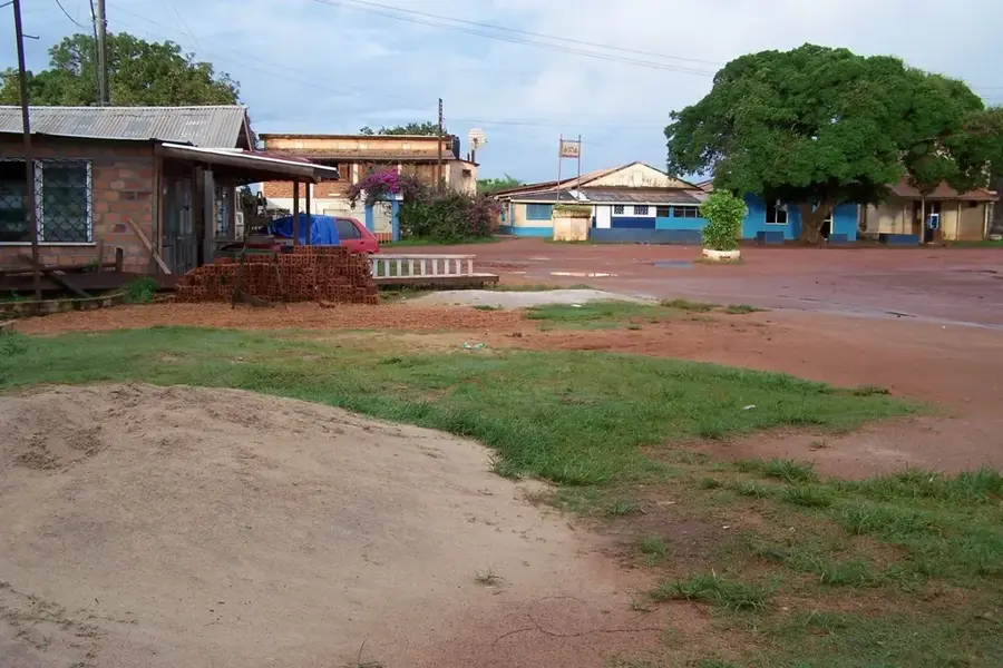
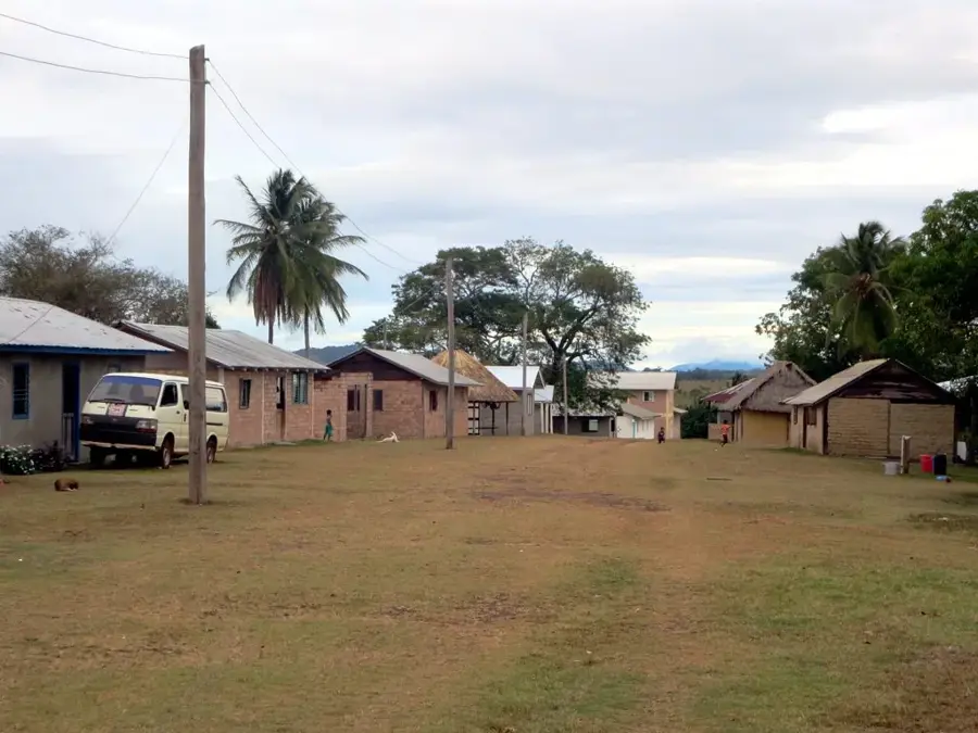
- Top sights: Educational Facility · St. Peter's Anglican Church · Religious Building - Church
- Nearby: Tuschen (6 km)
Best time to visit & climate
The most pleasant time to visit is Feb, Mar, Sep.
| Jan | Feb | Mar | Apr | May | Jun | Jul | Aug | Sep | Oct | Nov | Dec | |
|---|---|---|---|---|---|---|---|---|---|---|---|---|
| Avg °C | 25 | 25 | 26 | 27 | 26 | 26 | 26 | 26 | 27 | 27 | 26 | 26 |
| Rain mm | 184 | 117 | 93 | 145 | 317 | 319 | 308 | 198 | 105 | 108 | 182 | 258 |
📋 Practical info
Geography
Facts
- Longest river in Guyana (1,010 km)
- Estuary is approximately 32 km wide
- Contains over 360 different islands
- Source is in the Acarai Mountains
- Crucial for bauxite and gold transport
- Hog Island is its largest river island
Explore nearby
Notable places around
Route planner — Car & Motorhome
Where do you start? We build the route here, with stops and country notes along the way.
© OpenStreetMap contributors · OpenRouteService
Sights in the town Essequibo River (6)
Sights nearby
Frequently asked questions
How large is the Essequibo River?
Are there islands in the river?
Can you go on boat tours?
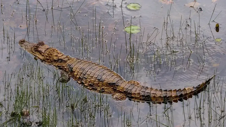
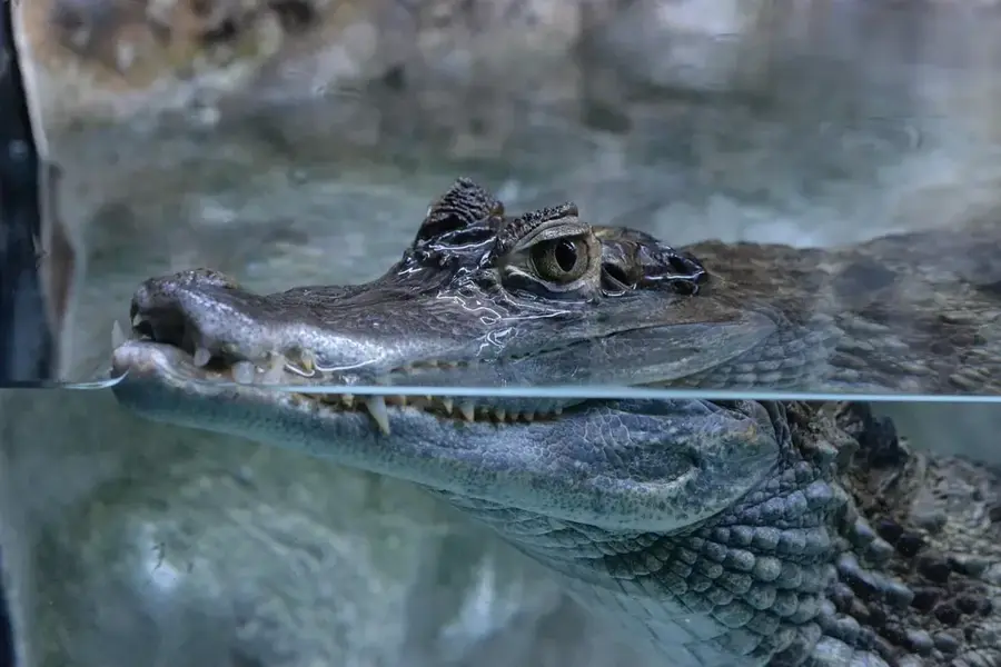
Are there caimans there?
When is the water level highest?
Essequibo River: where is it located?
Essequibo River: what is there to see?
Essequibo River: when is the best time to visit?
Essequibo River: why is it worth visiting?

Nearby cities
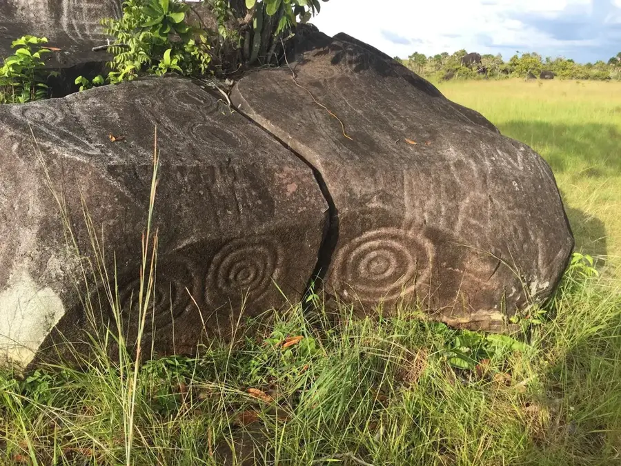

History & landmarks
Nature
More places