Plizio Visual Lab
Mapari Wilderness
Weather…
Water temperature…
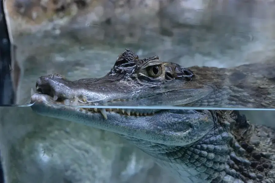
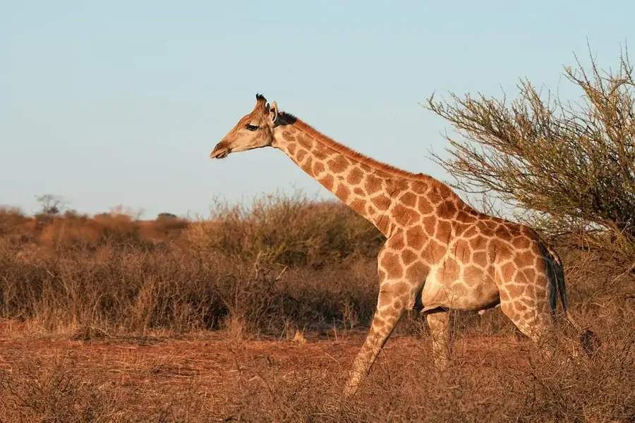
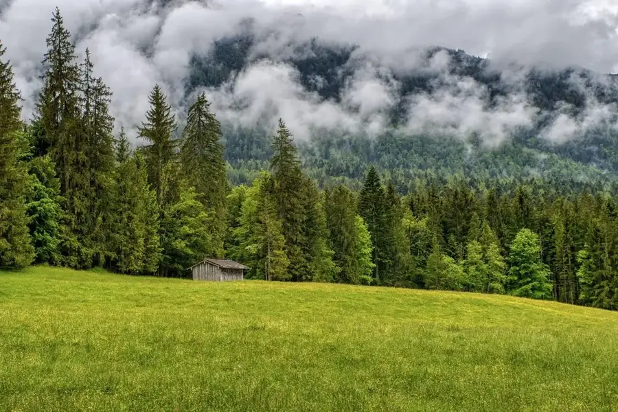
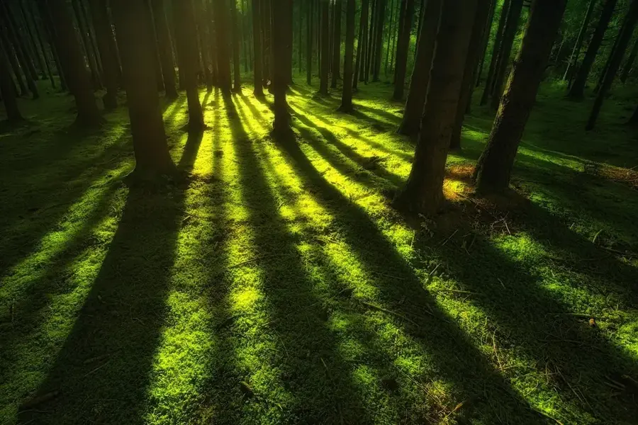
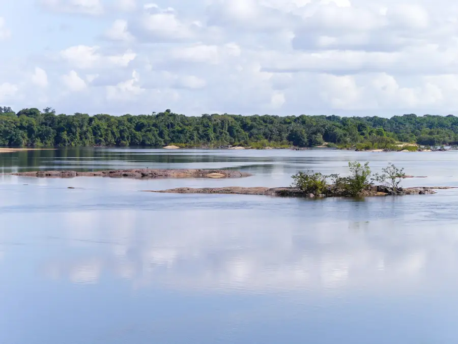
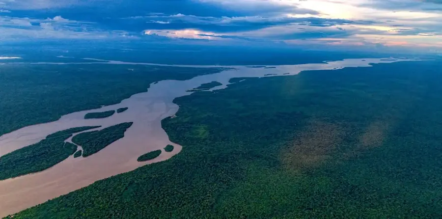
Mapari Wilderness, established in 2012, spans 5,000 hectares of lowland tropical rainforest in northwestern Guyana's Barima-Waini region. The area is part of the larger Guiana Shield ecosystem and acts as a crucial wildlife corridor between protected areas in Guyana and Venezuela. It is home to apex predators like the jaguar and harpy eagle, as well as species of conservation concern such as the giant river otter. Due to its remote location, human impact is minimal, making it a valuable site for baseline biodiversity research. Over 300 bird and 60 mammal species have been recorded. Management is carried out by a local indigenous cooperative with support from conservation NGOs. Threats include illegal gold mining and logging, which are monitored through regular patrols.
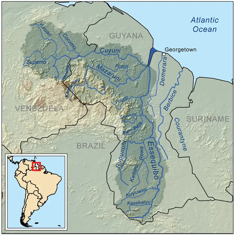
- Location: Guyana
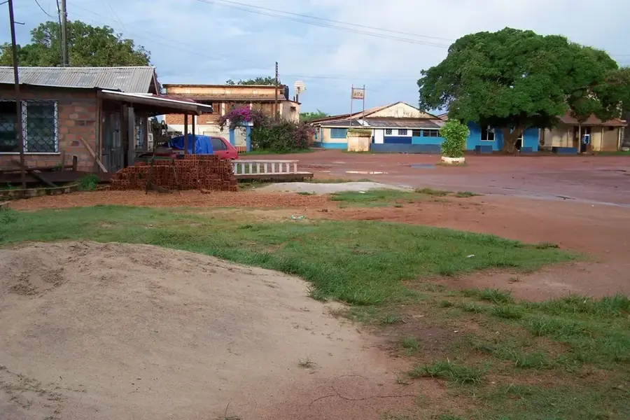
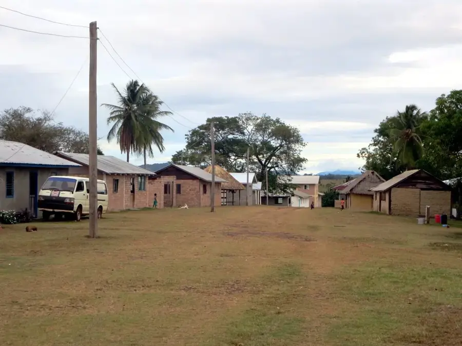
- Nearby: Aishalton (43 km)
Best time to visit & climate
The most pleasant time to visit is Jan, Feb, Dec.
| Jan | Feb | Mar | Apr | May | Jun | Jul | Aug | Sep | Oct | Nov | Dec | |
|---|---|---|---|---|---|---|---|---|---|---|---|---|
| Avg °C | 27 | 28 | 28 | 27 | 26 | 25 | 25 | 25 | 26 | 27 | 28 | 27 |
| Rain mm | 31 | 36 | 45 | 115 | 274 | 272 | 239 | 166 | 78 | 55 | 45 | 47 |
📋 Practical info
Geography
Facts
- Established in 2012
- Area: 5,000 hectares
- Over 300 bird species
- 60 mammal species
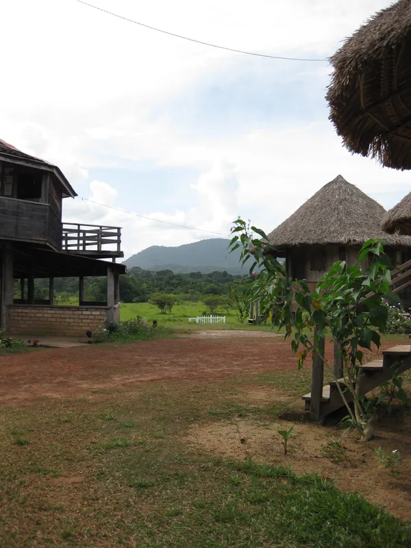
- Accessible only by boat or small plane
- Annual rainfall: 2500-3500 mm
Explore nearby
Notable places around
Route planner — Car & Motorhome
Where do you start? We build the route here, with stops and country notes along the way.
© OpenStreetMap contributors · OpenRouteService
Sights nearby
Frequently asked questions
What makes the Mapari wilderness so special?
Can you swim in the Mapari River?
How do you reach the Mapari wilderness?
Are there permanent lodges there?
What is the best time to visit?
Mapari Wilderness: where is it located?
Mapari Wilderness: when is the best time to visit?
Mapari Wilderness: why is it worth visiting?

Nearby cities
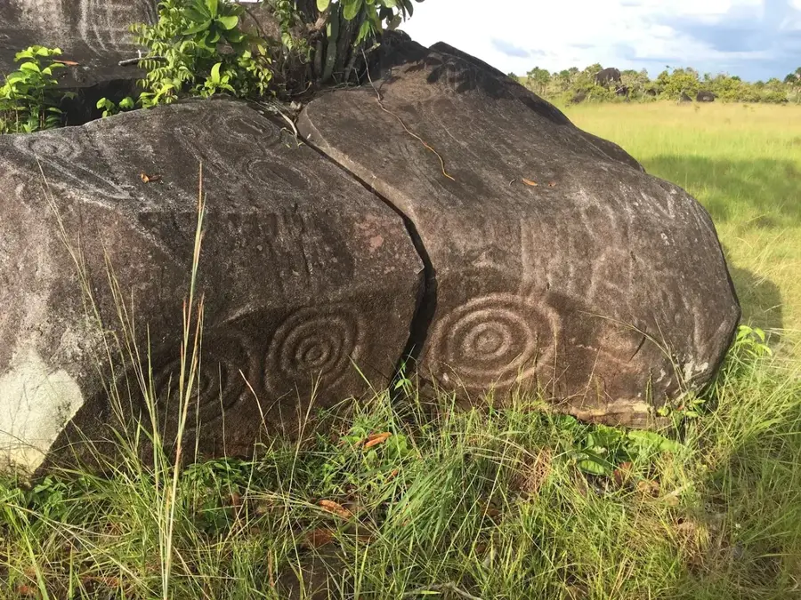

History & landmarks
Nature
More places