Plizio Visual Lab
Aishalton
ℹ️Practical info — Aishalton
▾
🌤 Weather — 5 days
📍 Nearby
Sights nearby
💡 Tips
- Respect the local Wapishana culture; always ask for permission before photographing people or cultural events.
- Bring your own mosquito repellent and a mosquito net, as accommodations can be rustic.
- Access is typically via dirt roads from Lethem; a sturdy 4x4 vehicle and an experienced local guide are essential.
- Carry sufficient Guyanese dollars, as electronic payments and ATMs are practically non-existent.
🍽 Food
A staple of the indigenous diet, freshly baked on large open pans.
A traditional meat stew cooked with cassareep, usually prepared for special occasions.
A coarse cassava flour often served alongside fish or stews.
🛍 Shopping · 🧘 Quiet spots
Look for beautiful, locally made hammocks, baskets, and beadwork.
Buy this traditional indigenous sauce directly from the villagers who make it.
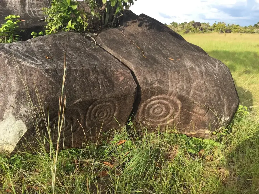
Take a guided walk to see the ancient rock carvings in a serene savannah setting.
Experience the vast, quiet landscapes by walking just outside the village.
Water temperature…
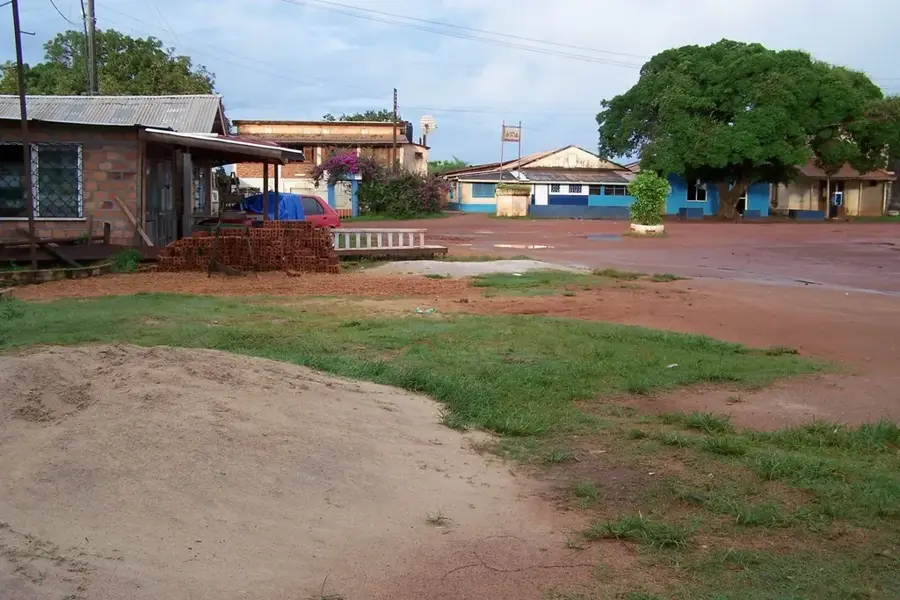
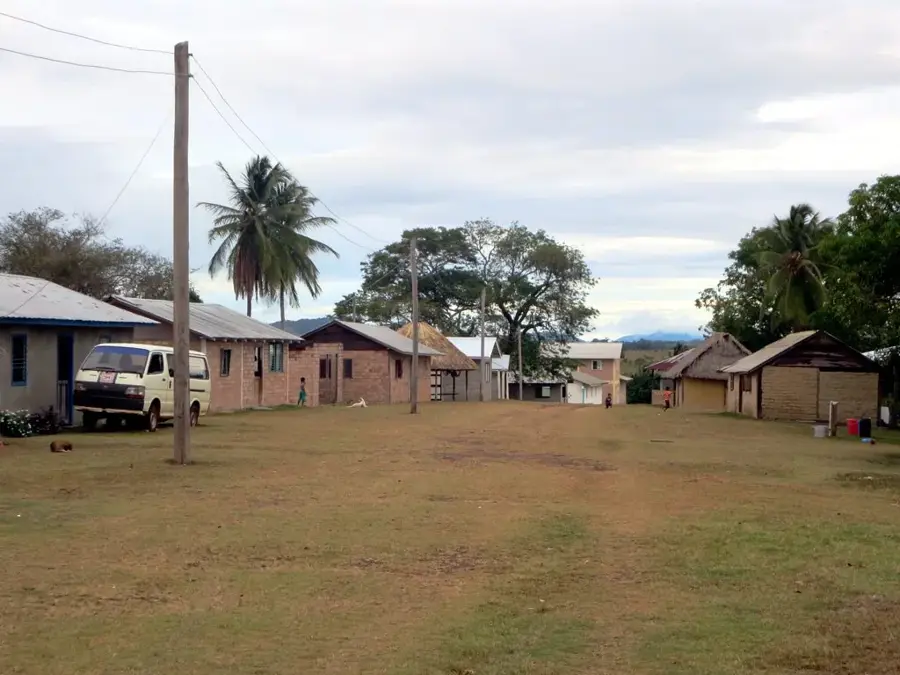
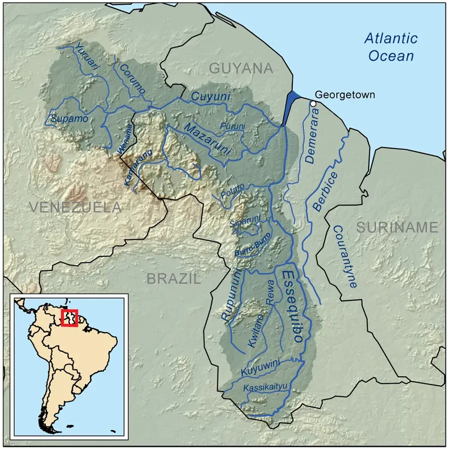
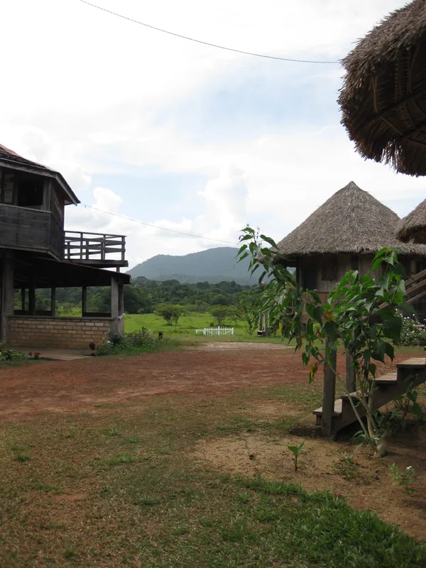
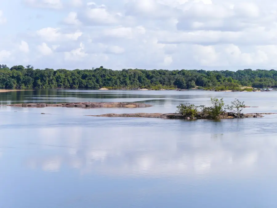
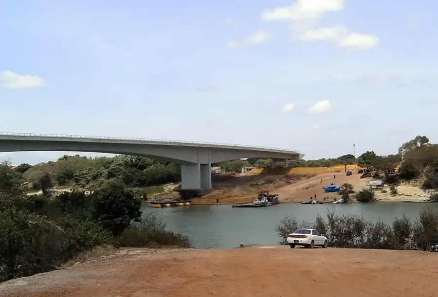
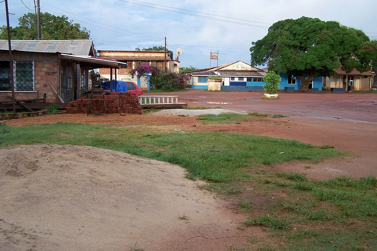
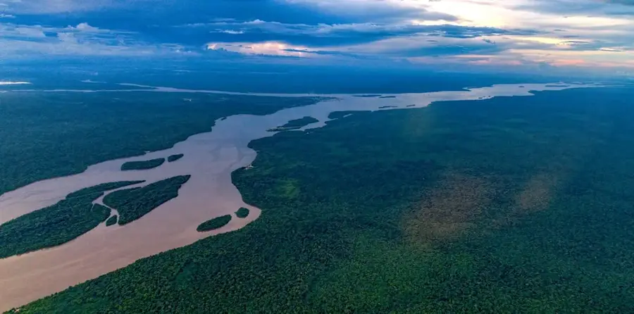
Aishalton is the primary administrative and cultural center of the Deep South Rupununi in Guyana, located in the Upper Takutu-Upper Essequibo region. Predominantly inhabited by the Wapishana people, the settlement is set in a dramatic landscape of vast grasslands interspersed with massive granite outcrops. Aishalton is world-renowned for its archaeological significance, notably the nearby Shea Rock and a collection of ancient petroglyphs that date back thousands of years. The village possesses a relatively developed infrastructure for the area, including a secondary school, a hospital, and an airstrip for domestic flights. Its local economy is driven by traditional ranching, farming, and emerging community-led ecotourism projects that highlight Wapishana heritage. Serving as a gateway to the remote wilderness near the Brazilian border, Aishalton is a critical hub for regional travel and conservation efforts. The community is dedicated to preserving its indigenous language and traditional land-management practices while adapting to contemporary development.
- Location: Guyana
- Nearby: Annai (86 km)
Best time to visit & climate
The most pleasant time to visit is Jan, Feb, Dec.
| Jan | Feb | Mar | Apr | May | Jun | Jul | Aug | Sep | Oct | Nov | Dec | |
|---|---|---|---|---|---|---|---|---|---|---|---|---|
| Avg °C | 28 | 28 | 29 | 28 | 26 | 25 | 25 | 26 | 27 | 27 | 28 | 28 |
| Rain mm | 26 | 30 | 45 | 126 | 287 | 287 | 257 | 173 | 83 | 61 | 51 | 49 |
Geography
Facts
- Central settlement of the Wapishana people in southern Guyana
- Located in Region 9 (Upper Takutu-Upper Essequibo)
- Famous for the ancient Shea Rock petroglyphs
- Home to a regional hospital and a secondary school
- Major hub for ranching and cattle rearing in the savannah
- Equipped with a local airstrip for flights to Georgetown
Explore nearby
Notable places around
Route planner — Car & Motorhome
Where do you start? We build the route here, with stops and country notes along the way.
© OpenStreetMap contributors · OpenRouteService
Frequently asked questions
What is the most famous sight in Aishalton?
Where is Aishalton?
How do you get to Aishalton?
What culture prevails here?
Is there accommodation?
Aishalton: where is it located?
Aishalton: when is the best time to visit?
Aishalton: why is it worth visiting?

Nearby cities

History & landmarks
Nature
More places