Plizio Visual Lab
Lethem
ℹ️Practical info — Lethem
▾
🌤 Weather — 5 days
📍 Nearby
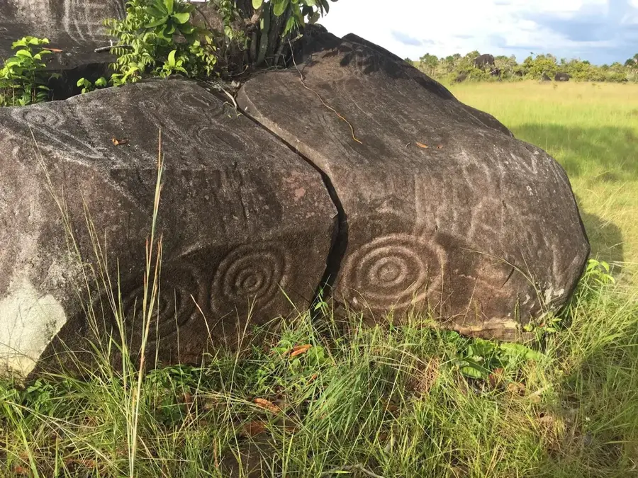
Sights nearby
💡 Tips
- Bring sufficient cash, as ATMs can be unreliable and card payments are limited.
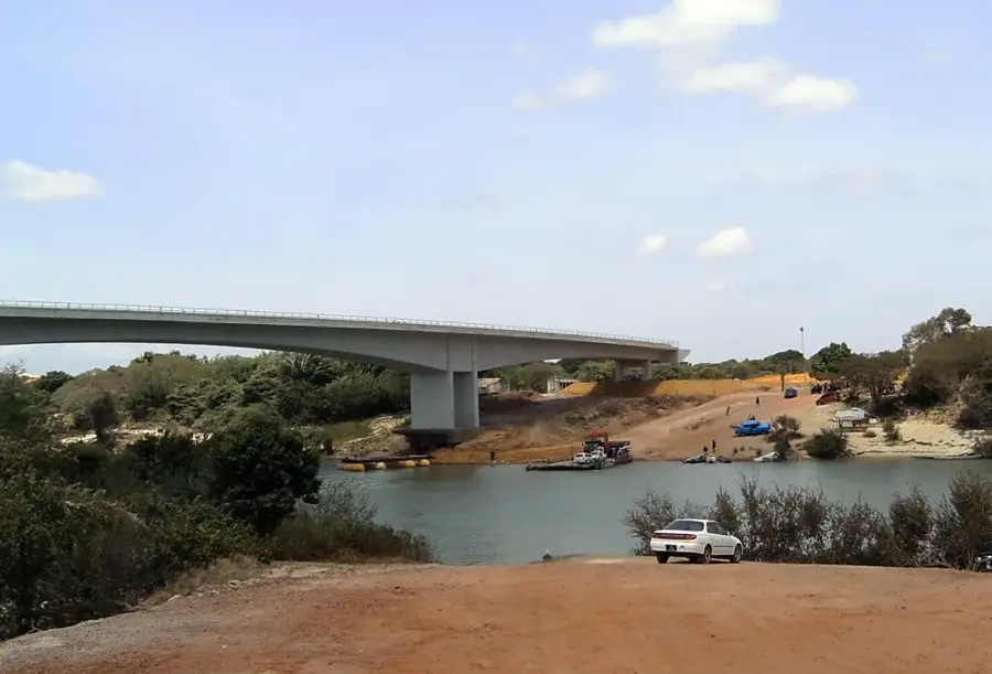
- The Takutu River Bridge connects directly to Brazil; you can easily take a day trip to Bonfim.
- Explore the vast Rupununi Savannah, but a 4x4 vehicle is essential for venturing out of town.
- Expect a hot and humid climate; lightweight clothing and insect repellent are necessary.
🍽 Food
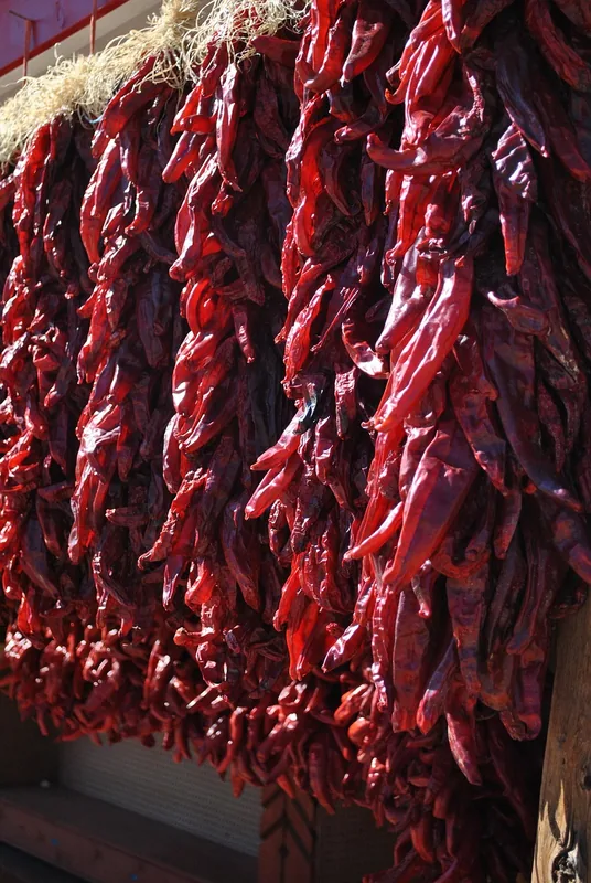
Traditional Guyanese indigenous meat stew, heavily spiced. Try it at local town center eateries.
A crispy flatbread often served alongside meals; find it fresh at the local markets.
Locally raised beef is excellent here. Look for barbecue stalls near the commercial zone.
🛍 Shopping · 🧘 Quiet spots
The main shopping drag offering a mix of cheap Brazilian goods, electronics, and daily essentials.
Look for locally woven hammocks and beadwork from the Rupununi region in small stalls.
A peaceful spot to watch the water flow by, right on the border with Brazil.
Drive just out of town into the savannah for majestic views of these distant, lush peaks.
Water temperature…
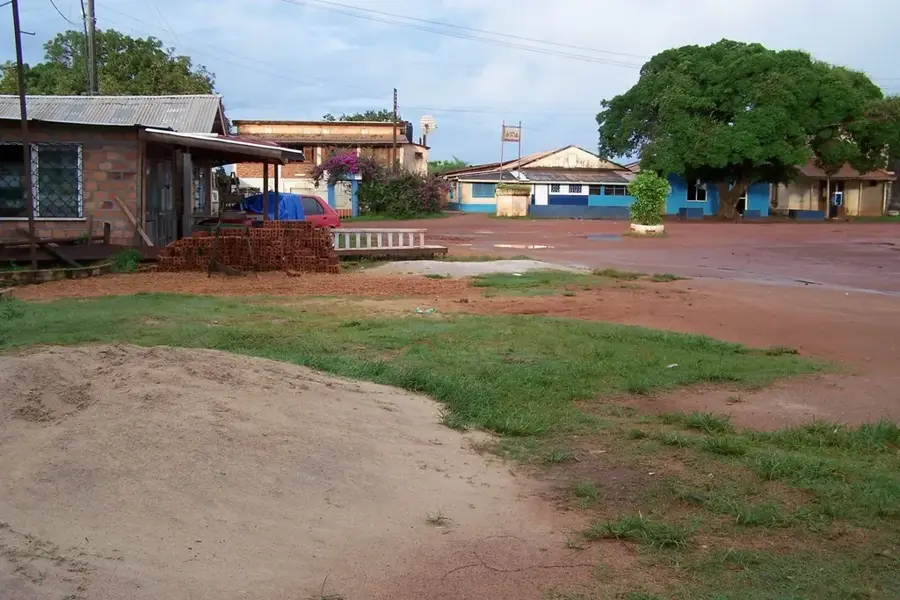
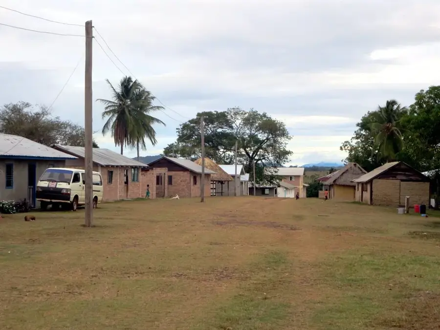
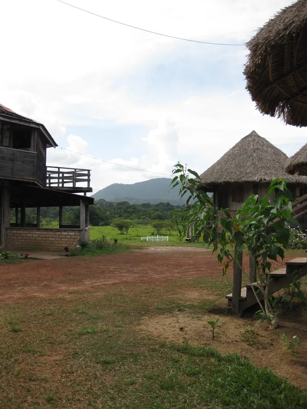
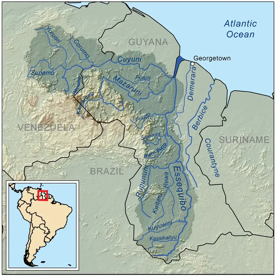
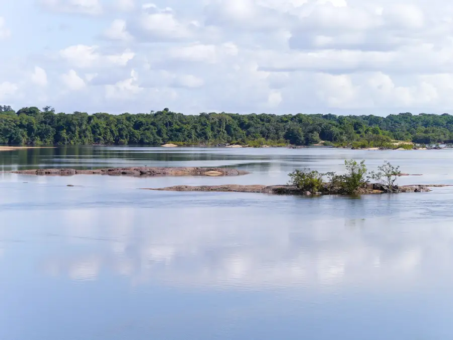
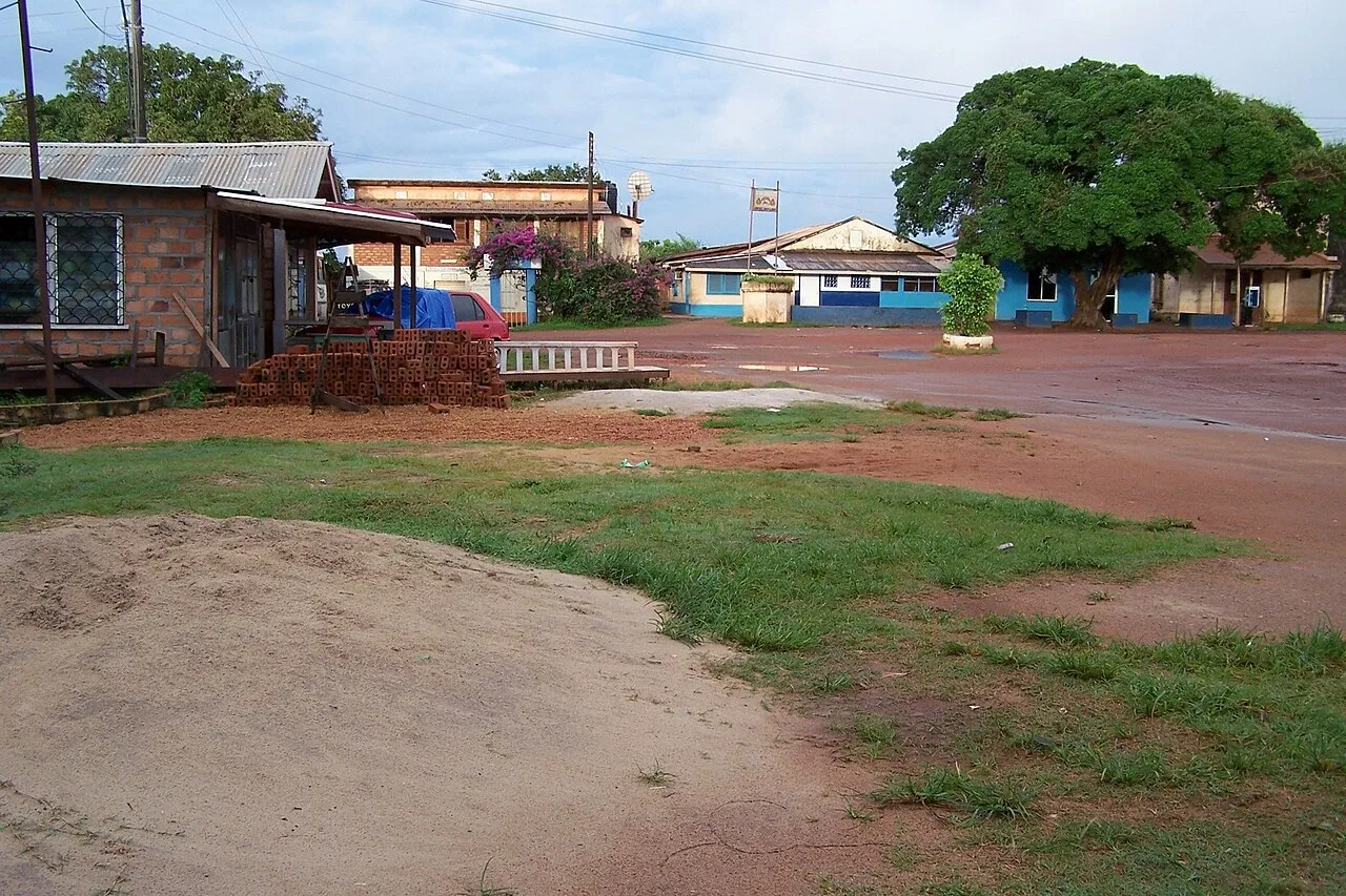
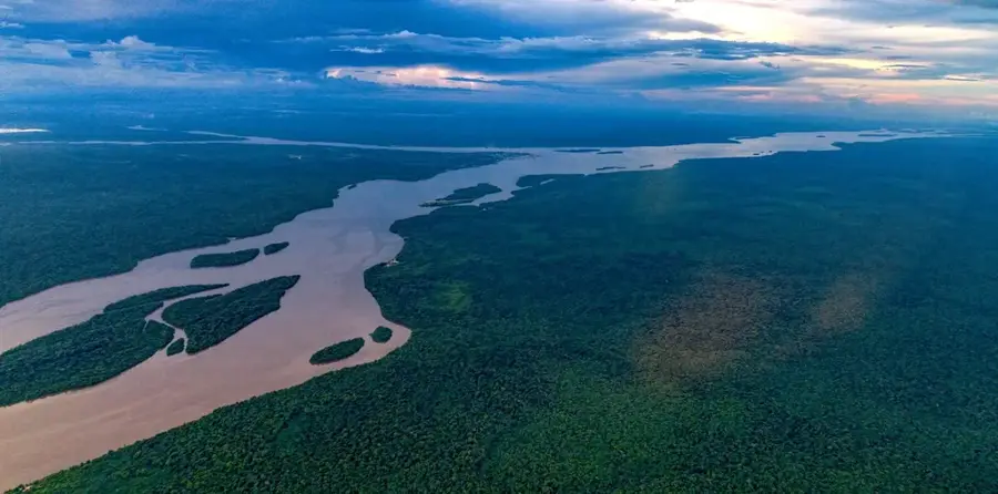
Lethem is the administrative capital of Region 9 (Upper Takutu-Upper Essequibo) and serves as the primary gateway between Guyana and Brazil. Named after Sir Gordon James Lethem, the Governor of British Guiana from 1941 to 1947, the town is situated in the vast Rupununi Savannah near the Takutu River. This location makes it a critical hub for trade and cross-border cooperation. The opening of the Takutu River Bridge in 2009 marked a milestone in the town's history, providing the first direct road link between the two nations and fostering economic growth through the Lethem Industrial Estate. The geography of the surrounding area is characterized by open grasslands, wetlands, and the nearby Kanuku Mountains, which are designated as a protected area due to their high biodiversity. Historically, the area was dominated by large cattle ranches, a sector that remains important to the local economy alongside government services and retail. The population is a melting pot of indigenous groups, primarily the Macushi and Wapishana, as well as Guyanese of African and East Indian descent and a growing Brazilian community. Culture in Lethem is uniquely influenced by this blend, evidenced in the language, music, and the famous Rupununi Rodeo held annually during Easter. Tourism is a burgeoning industry, with Lethem serving as the jumping-off point for eco-adventures involving birdwatching, sport fishing, and ranch stays. Despite its remote interior location, the town is connected to the capital, Georgetown, via a seasonal road and regular flights. As Guyana looks toward developing its interior, Lethem stands as a pivotal center for infrastructure projects, including the proposed paving of the main highway to the coast, which promises to further transform this frontier town into a major commercial logistics center for the continent.
- Location: Guyana
- Top sights: I Love Lethem Monument · Proposed abitiour
- Nearby: Kato (71 km)
- Population: ~716 (2025)
Best time to visit & climate
The most pleasant time to visit is Jan, Feb, Dec.
| Jan | Feb | Mar | Apr | May | Jun | Jul | Aug | Sep | Oct | Nov | Dec | |
|---|---|---|---|---|---|---|---|---|---|---|---|---|
| Avg °C | 29 | 30 | 30 | 29 | 27 | 26 | 26 | 27 | 28 | 29 | 29 | 29 |
| Rain mm | 25 | 27 | 29 | 105 | 260 | 274 | 247 | 181 | 79 | 62 | 54 | 45 |
Geography
Facts
- Lethem was officially declared a town by President David Granger in 2017.
- The Takutu River Bridge cost approximately 5 million USD to construct.
- The town serves as the logistics center for the Lethem-Georgetown road corridor.
- Average annual rainfall in Lethem is around 1,500 mm.
- The Kanuku Mountains are home to the Harpy Eagle, Guyana's national bird.
- Lethem's electricity is partially supplied by a 1.0 MW solar farm.
- The town's coordinates are 3°23′00″N 59°48′00″W.
- It is the main supply center for the North and South Rupununi villages.
Explore nearby
Notable places around
Route planner — Car & Motorhome
Where do you start? We build the route here, with stops and country notes along the way.
© OpenStreetMap contributors · OpenRouteService
Sights in the town Lethem (2)
Frequently asked questions
How do I get from Lethem to Brazil?
When is the Lethem Rodeo held?
How do you reach Lethem from Georgetown?
What is the best time to visit the Rupununi Savannah?
Do I need a visa for Brazil?
Lethem: where is it located?
Lethem: what is there to see?
Lethem: when is the best time to visit?
Lethem: why is it worth visiting?

Nearby cities

History & landmarks
Nature
More places