Plizio Visual Lab
Meten-Meer-Zorg
ℹ️Practical info — Meten-Meer-Zorg
▾
🌤 Weather — 5 days
📍 Nearby
Sights nearby
💡 Tips
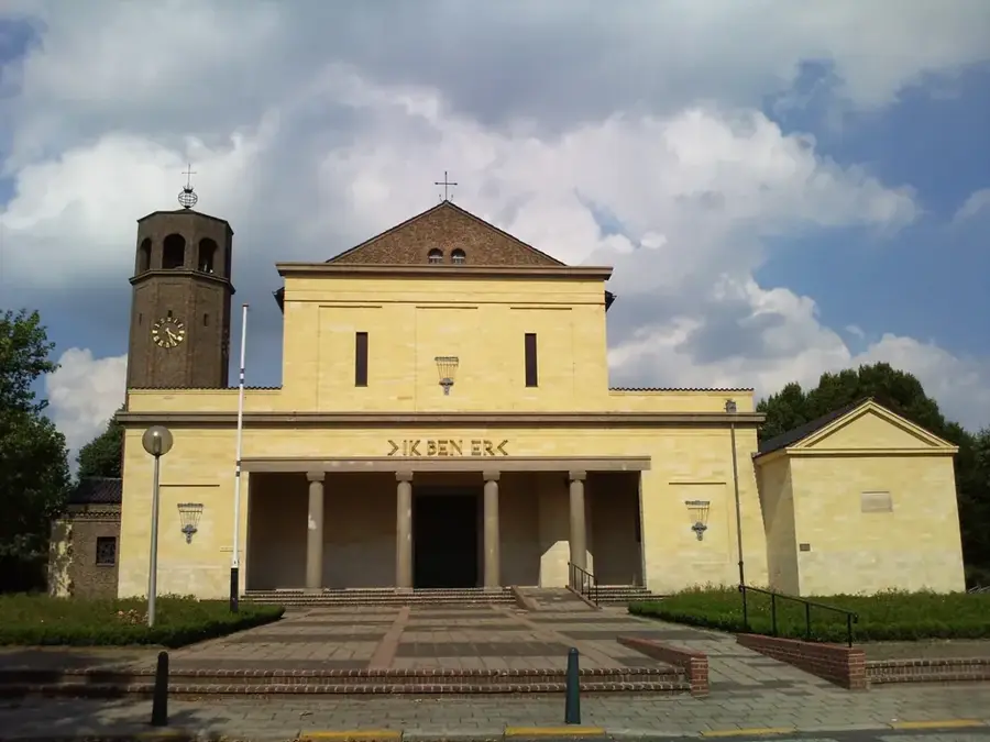
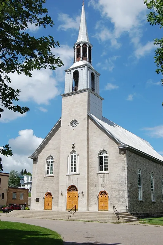
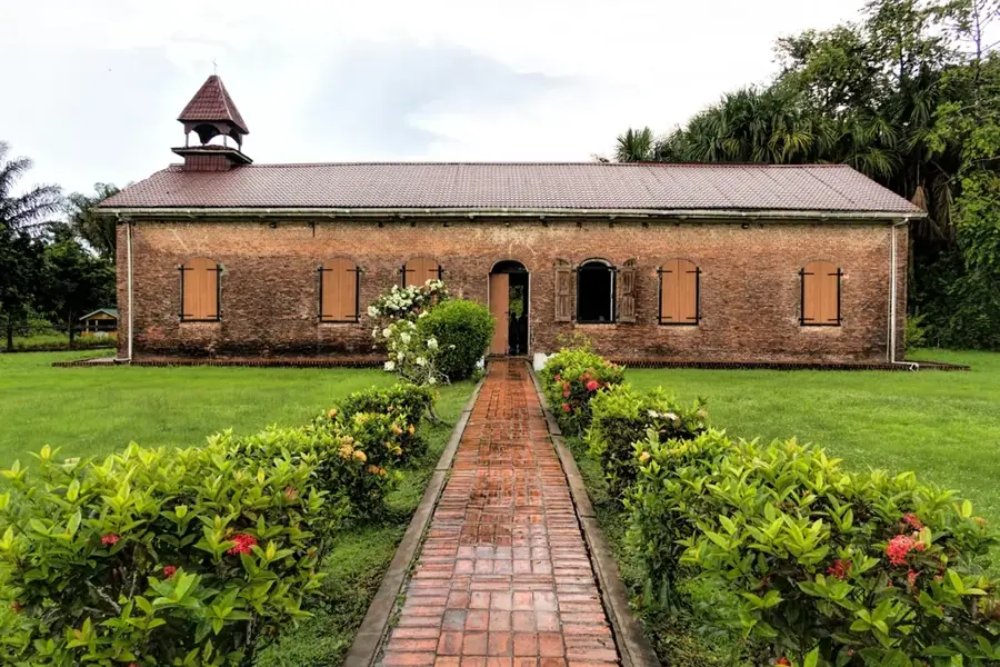
- The village has a mix of cultural and religious sites, including beautifully maintained temples and mosques.
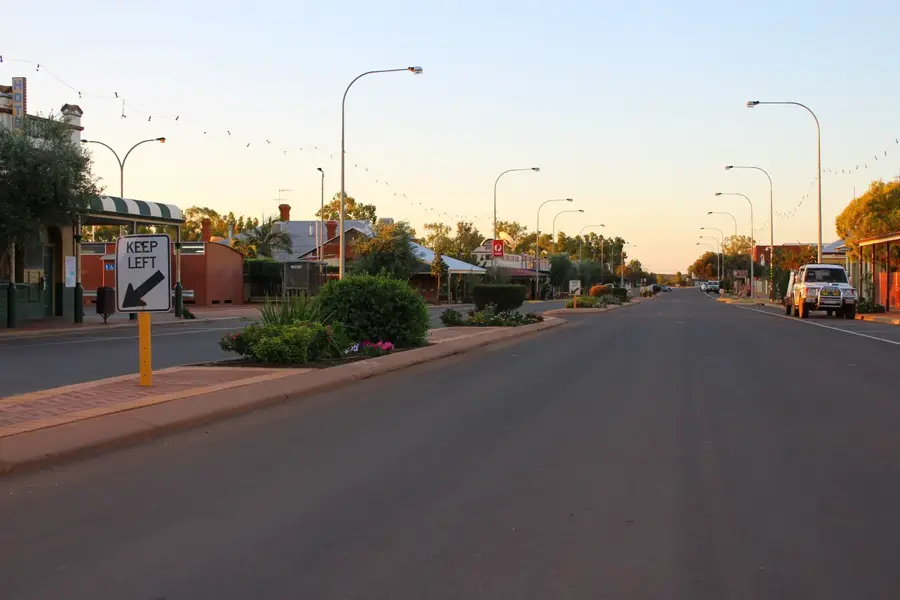
- Traffic on the main road can be heavy, so be cautious when crossing.
- Early morning is the best time to see the village come alive with small markets.
- Minibuses stop anywhere along the main road; just flag one down.
🍽 Food
A very popular snack, fried fresh at street stalls.
Served abundantly at local food bars on the main road.
A hearty local main dish often offered in the cook shops along the road.
🛍 Shopping · 🧘 Quiet spots
Buy fresh local produce directly from the farmers in the area.
Small shops for basic necessities and refreshing drinks.
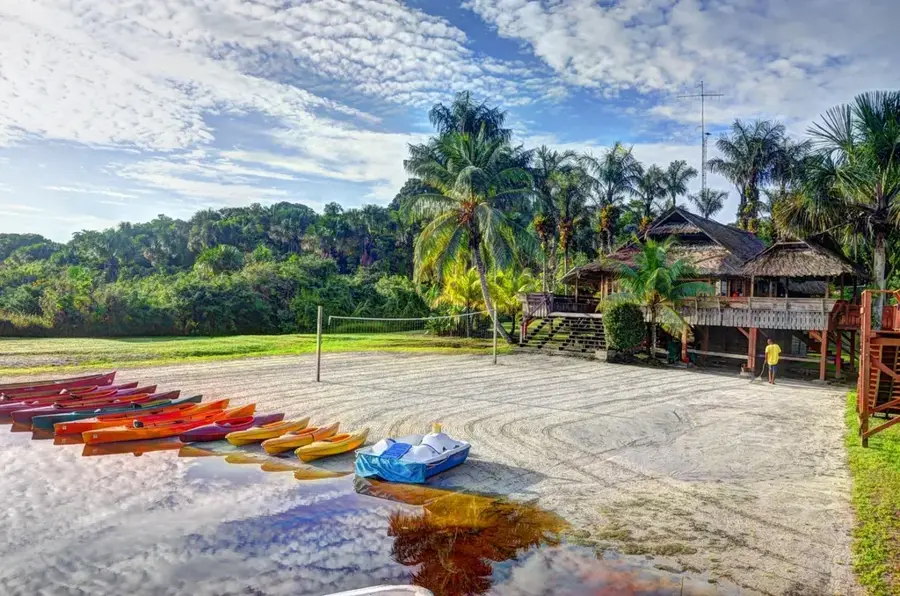
A peaceful retreat from the often very busy main road.
These zones are often very quiet and well-maintained; please respect the peace.
Water temperature…
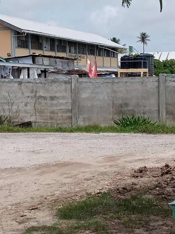
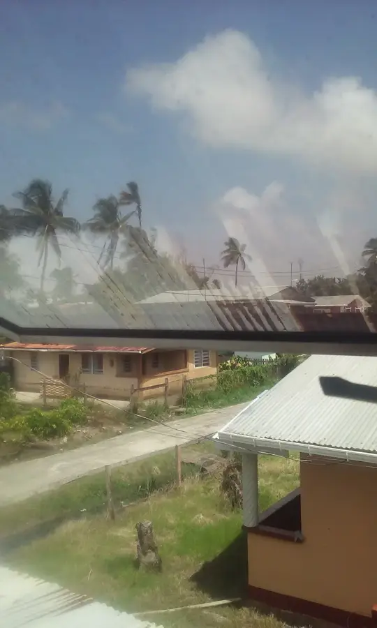
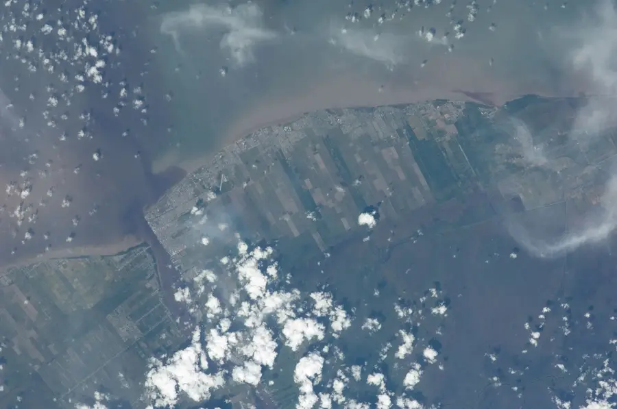
Meten-Meer-Zorg is a significant village located on the West Coast of the Demerara River in Region 3 of Guyana. Historically, the settlement originated as a Dutch sugar plantation, and its name literally translates from Dutch as "To measure more care." The community is characterized by its deep ties to the sugar industry, which has been the backbone of the local economy for centuries. In modern times, the village has evolved into a diverse residential area with a population that is primarily of Indo-Guyanese descent. It serves as a vital agricultural hub, supporting both sugar cane cultivation and small-scale farming activities. The village is well-integrated into the regional transport network, connecting it to the nearby administrative center of Vreed-en-Hoop. Its cultural landscape is enriched by various religious institutions, including mosques and temples, reflecting the pluralistic nature of Guyanese society, while the local infrastructure continues to expand with new commercial developments.
- Location: Guyana
- Nearby: Nismes (10 km)
- Population: ~8.286 (2026)
Best time to visit & climate
The most pleasant time to visit is Feb, Mar, Sep.
| Jan | Feb | Mar | Apr | May | Jun | Jul | Aug | Sep | Oct | Nov | Dec | |
|---|---|---|---|---|---|---|---|---|---|---|---|---|
| Avg °C | 25 | 25 | 26 | 27 | 26 | 26 | 26 | 26 | 27 | 27 | 26 | 26 |
| Rain mm | 184 | 117 | 93 | 145 | 317 | 319 | 308 | 198 | 105 | 108 | 182 | 258 |
Geography
Facts
- Meten-Meer-Zorg is located in Region 3 (Essequibo Islands-West Demerara).
- The name is of Dutch origin, meaning 'Measuring more care.'
- It was historically a major sugar estate during the colonial era.
- The village is situated approximately 15 kilometers west of Georgetown.
- The demographics are predominantly Indo-Guyanese, reflecting historical labor migrations.
- The community is located between the villages of De Willem and Uitvlugt.
Explore nearby
Notable places around
Route planner — Car & Motorhome
Where do you start? We build the route here, with stops and country notes along the way.
© OpenStreetMap contributors · OpenRouteService
Sights in the town Meten-Meer-Zorg (1)
Frequently asked questions
What does the name Meten-Meer-Zorg mean?
What culture is predominant here?
What can you see in Meten-Meer-Zorg?
How far is it to the Atlantic Ocean?
Are there any accommodation options?
Meten-Meer-Zorg: where is it located?
Meten-Meer-Zorg: when is the best time to visit?
Meten-Meer-Zorg: why is it worth visiting?

Nearby cities


History & landmarks
More places