Plizio Visual Lab
Takutu River
Weather…
Water temperature…
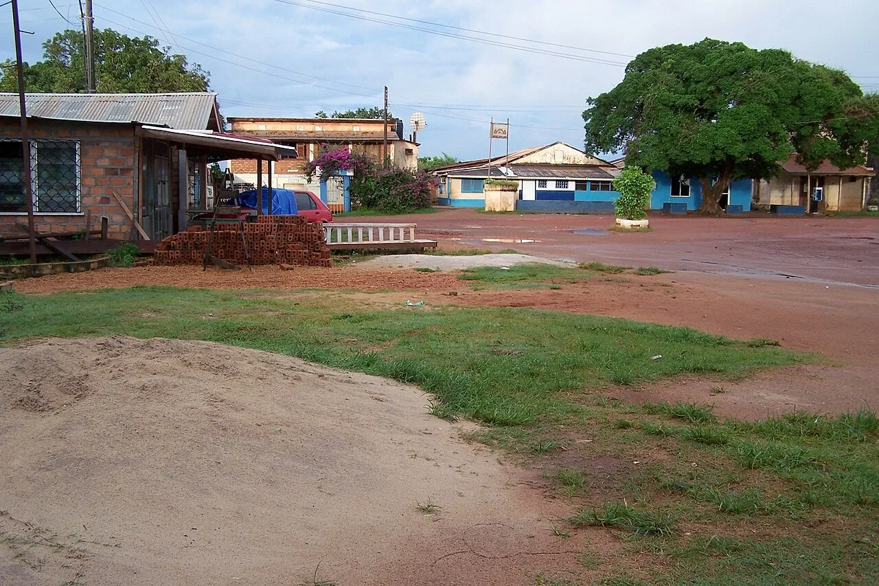
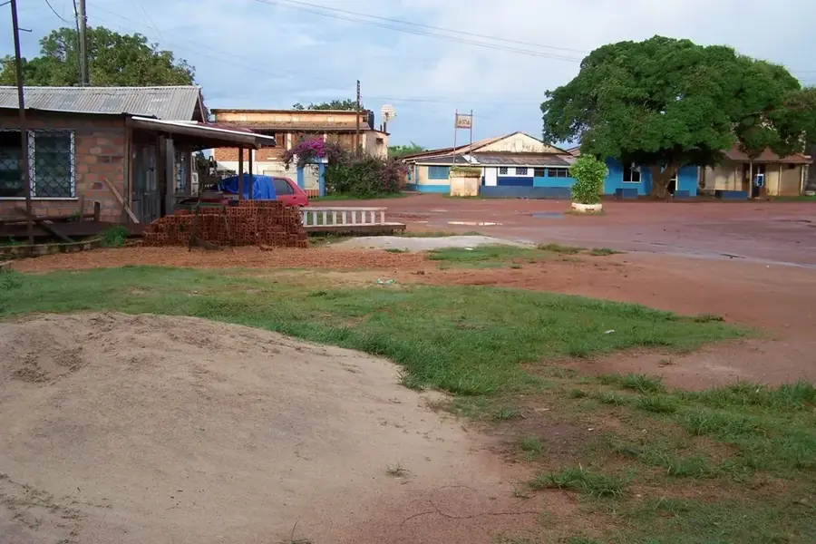
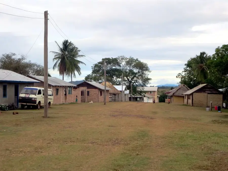
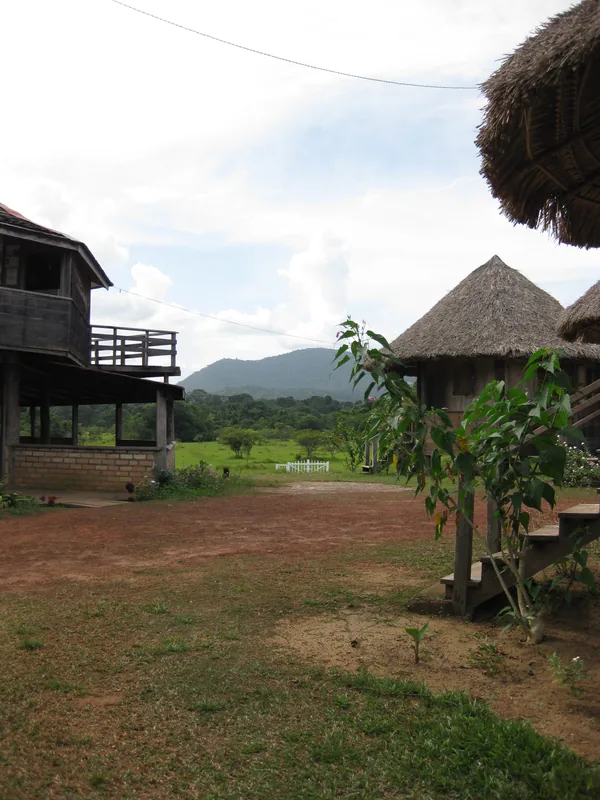
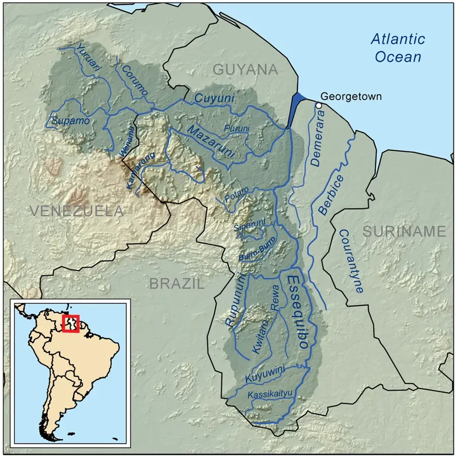
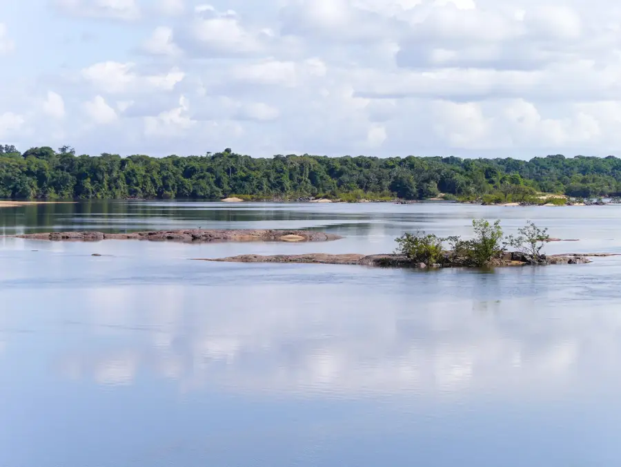
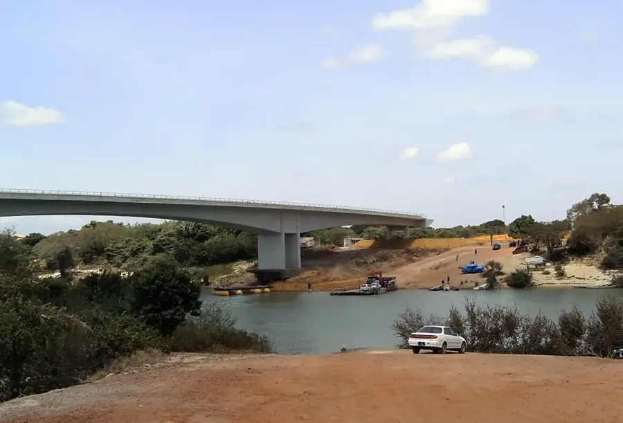
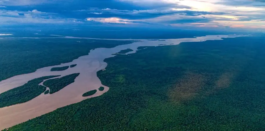
The Takutu River serves as a major segment of the international boundary between Guyana to the east and Brazil to the west. Rising in the southern reaches of Guyana, it flows northward to join the Ireng River, eventually emptying into the Rio Branco in Brazil. The river is a vital artery for regional connectivity, anchored by the Takutu River Bridge opened in 2009, which links the towns of Lethem in Guyana and Bonfim in Brazil. The river's hydrology is characterized by extreme seasonal fluctuations; during the dry season, it can often be crossed on foot, whereas the rainy season transforms it into a wide, powerful current that overflows into the surrounding Rupununi savannas. Its banks support a mix of gallery forests and grasslands, providing habitat for a wide variety of birdlife and reptiles. Historically, the Takutu has been a corridor for trade and cultural exchange between the English-speaking Caribbean influence of Guyana and the Portuguese-speaking influence of Brazil.
- Location: Guyana
- Top sights: Land start front · Back land part · Culvert 3
- Nearby: Kato (71 km)
Best time to visit & climate
The most pleasant time to visit is Jan, Feb, Dec.
| Jan | Feb | Mar | Apr | May | Jun | Jul | Aug | Sep | Oct | Nov | Dec | |
|---|---|---|---|---|---|---|---|---|---|---|---|---|
| Avg °C | 29 | 30 | 30 | 29 | 27 | 26 | 26 | 27 | 28 | 29 | 29 | 29 |
| Rain mm | 25 | 27 | 29 | 105 | 260 | 274 | 247 | 181 | 79 | 62 | 54 | 45 |
📋 Practical info
Geography
Facts
- Forms part of the Guyana-Brazil border
- Flows into the Rio Branco in Brazil
- International bridge opened in 2009
- Connects Lethem and Bonfim
- Prone to extreme seasonal drying
- Major waterway for the Rupununi region
Explore nearby
Notable places around
Route planner — Car & Motorhome
Where do you start? We build the route here, with stops and country notes along the way.
© OpenStreetMap contributors · OpenRouteService
Sights in the town Takutu River (7)
Sights nearby
Frequently asked questions
Where is the Takutu River located?
Is there a bridge over the river?
Can you swim in the river?
Which town lies on its banks?
How does the water level change?
Takutu River: where is it located?
Takutu River: what is there to see?
Takutu River: when is the best time to visit?
Takutu River: why is it worth visiting?

Nearby cities
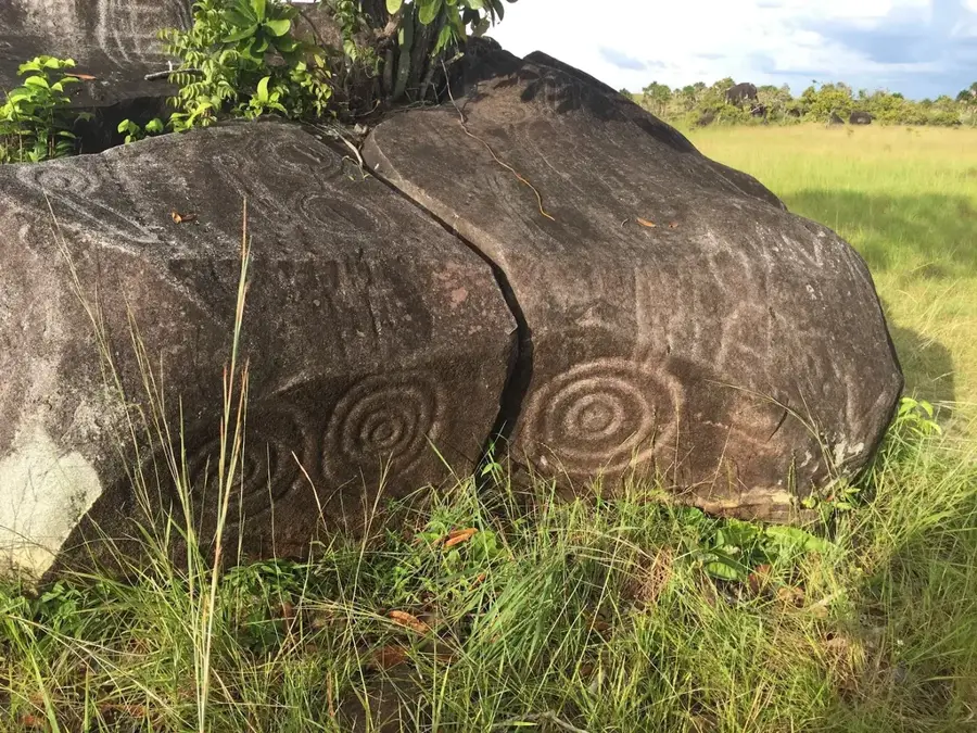

History & landmarks
Nature
More places