Plizio Visual Lab
Mount Makarapan

Weather…
Water temperature…
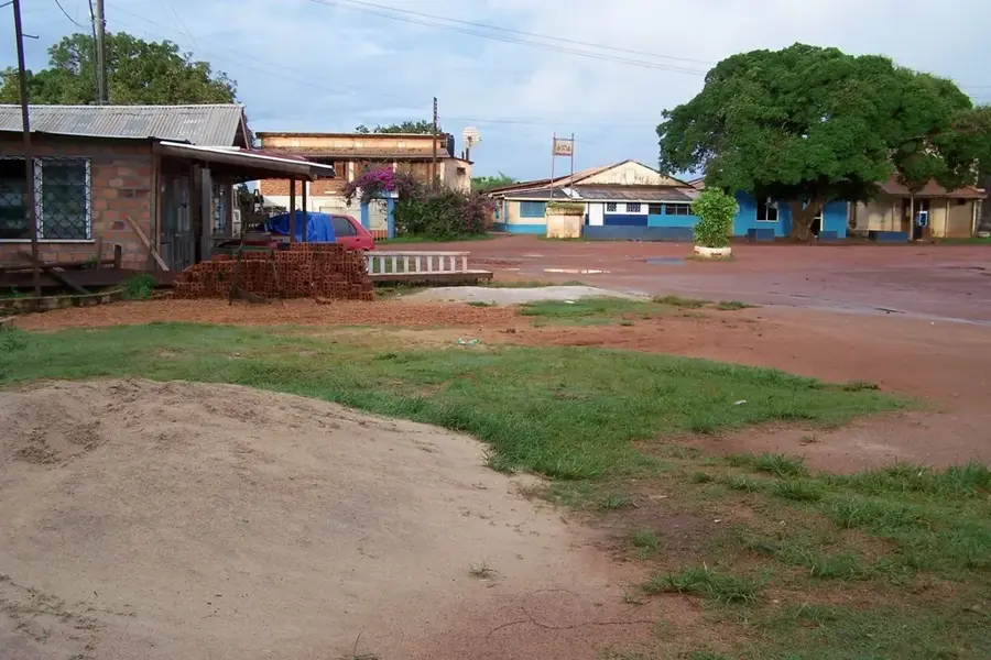
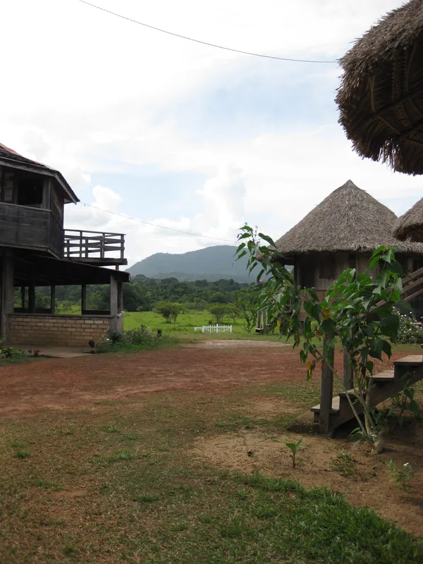
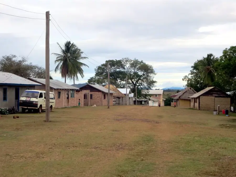
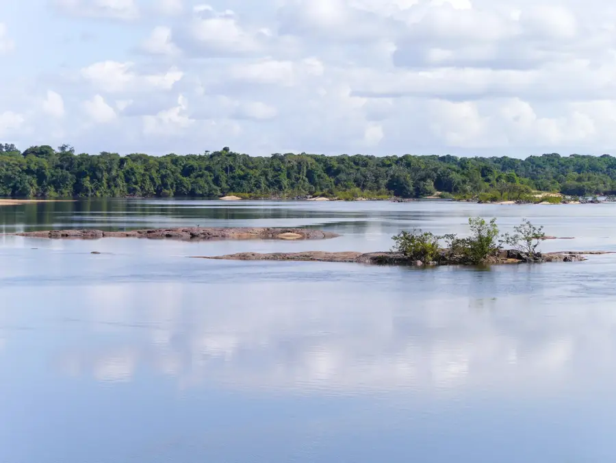
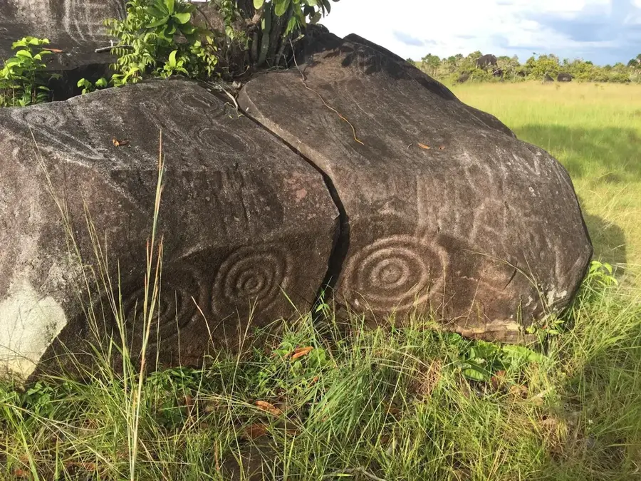
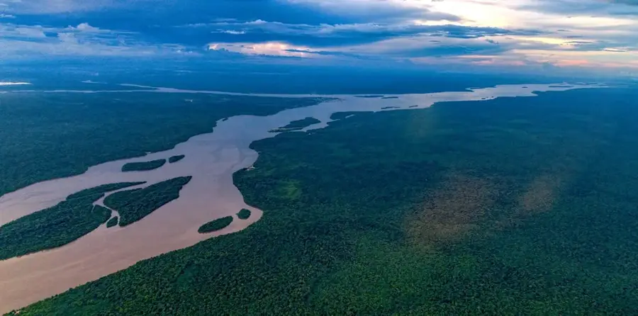
Mount Makarapan is an isolated mountain massif in the Upper Takutu-Upper Essequibo region of southern Guyana, rising approximately 910 meters above the surrounding Rupununi Savannah. Geologically, it is an ancient formation that, unlike the flat savannahs, is composed of volcanic rock. The mountain creates a stark contrast with the plains and is encircled by a dense belt of tropical rainforest, serving as an ecological island for numerous animal and plant species. This isolation has led to the creation of specialized habitats that host both savannah and montane rainforest species. Makarapan is renowned for its rich birdlife, including the rare Guianan Cock-of-the-rock, and serves as an important research area for biologists. For the indigenous peoples of the region, such as the Makushi, the mountain holds cultural significance and is featured in their myths and legends. Access to the mountain is challenging, typically involving travel across the savannah followed by a steep ascent through thick undergrowth. Despite its relatively modest height compared to the Pakaraima Mountains, its isolated position and geological makeup make it a unique natural monument in Guyana.
- Location: Guyana
- Nearby: Surama (17 km)
Best time to visit & climate
The most pleasant time to visit is Jan, Feb, Sep.
| Jan | Feb | Mar | Apr | May | Jun | Jul | Aug | Sep | Oct | Nov | Dec | |
|---|---|---|---|---|---|---|---|---|---|---|---|---|
| Avg °C | 27 | 28 | 28 | 28 | 26 | 25 | 25 | 26 | 27 | 28 | 28 | 27 |
| Rain mm | 62 | 59 | 52 | 111 | 248 | 255 | 229 | 164 | 72 | 58 | 59 | 83 |
📋 Practical info
Geography
Facts
- The summit of Mount Makarapan reaches an elevation of 910 meters.
- It is primarily composed of rhyolite and other volcanic rocks.
- The mountain is located north of the Kanuku Mountains in the Rupununi.
- It is a famous lek site for the Guianan Cock-of-the-rock bird.
- The area was scientifically documented by Robert Schomburgk in 1838.
- The massif is a prominent cultural landmark for the Makushi people.
Explore nearby
Notable places around
Route planner — Car & Motorhome
Where do you start? We build the route here, with stops and country notes along the way.
© OpenStreetMap contributors · OpenRouteService
Sights nearby
Frequently asked questions
Where is Mount Makarapan located?
Can you hike to the summit?
What is special about the view?
Is there a forest there?
How high is the mountain?
Mount Makarapan: where is it located?
Mount Makarapan: when is the best time to visit?
Mount Makarapan: why is it worth visiting?

Nearby cities

History & landmarks
Nature
More places