Plizio Visual Lab
Mount Wating

Weather…
Water temperature…
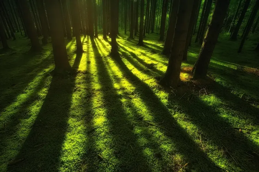
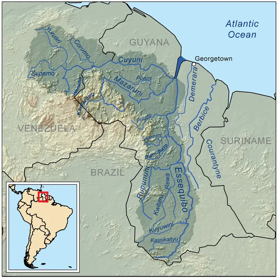
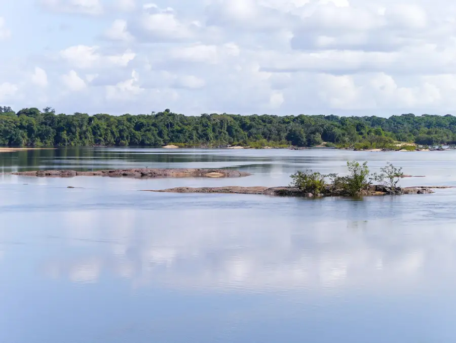
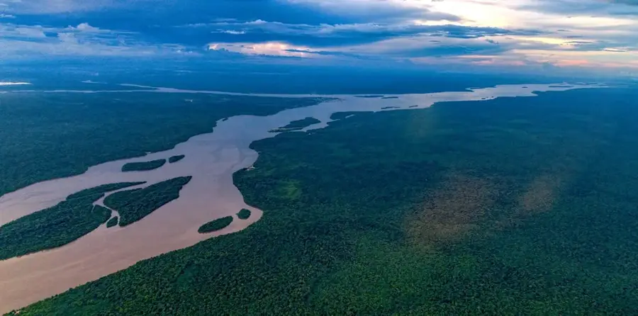
Mount Wating is a prominent elevation in the western part of the Pakaraima Mountains in Guyana, situated near the border with Brazil. Reaching an altitude of approximately 1,550 meters, it is among the higher peaks in the region and forms part of the expansive Guiana Shield. The mountain's geography is characterized by rugged rock formations and deeply incised valleys covered by primary tropical rainforest. This remote area serves as a critical watershed for various river systems that eventually drain into the Essequibo River. Due to its inaccessibility, Mount Wating remains largely untouched by human activity, making it a significant sanctuary for regional biodiversity. Past scientific expeditions have documented evidence of rare species, such as the jaguar and the harpy eagle, in the surrounding forests. For local indigenous communities, the mountain represents an important landmark and part of their traditional hunting and gathering grounds. The climate on the mountain is marked by constant humidity and frequent mist, which strongly dictates the local vegetation patterns. It remains one of the lesser-known but ecologically precious mountains in the Guyanese highlands.
- Location: Guyana
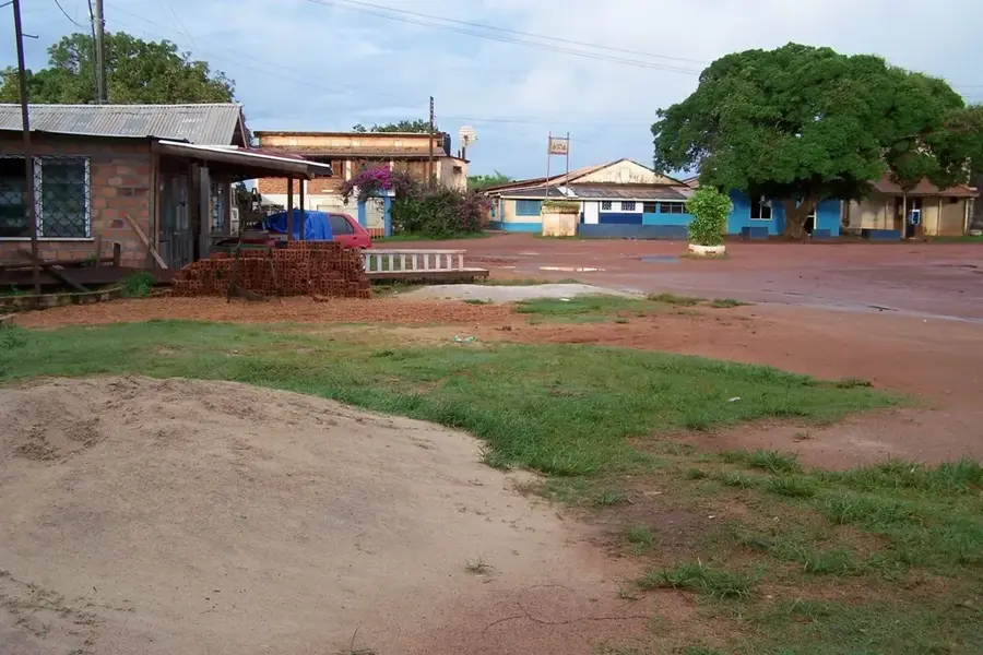
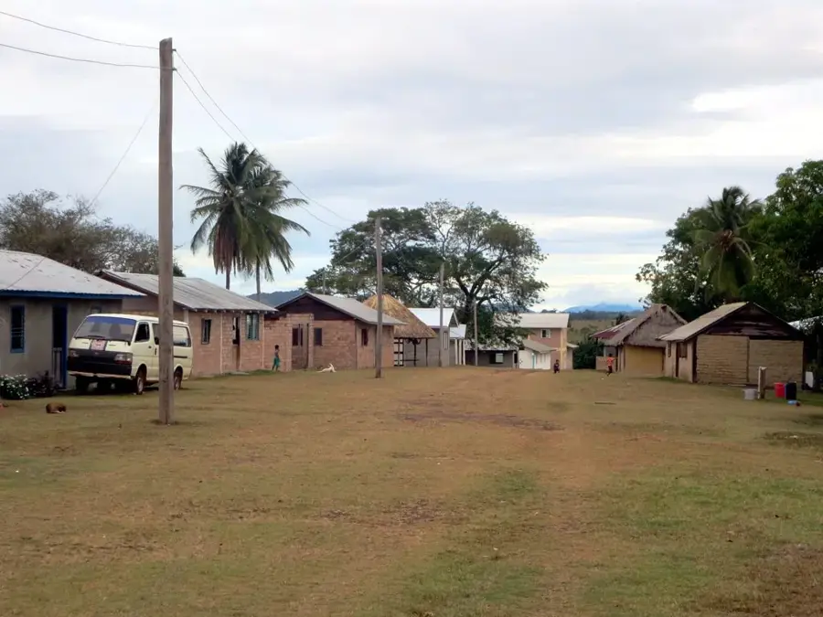
- Top sights: Catchment 1 · Shortcut road to nappi · Village Centre.
- Nearby: Annai (48 km)
Best time to visit & climate
The most pleasant time to visit is Jan, Feb, Dec.
| Jan | Feb | Mar | Apr | May | Jun | Jul | Aug | Sep | Oct | Nov | Dec | |
|---|---|---|---|---|---|---|---|---|---|---|---|---|
| Avg °C | 28 | 29 | 29 | 28 | 26 | 25 | 25 | 26 | 27 | 28 | 28 | 28 |
| Rain mm | 25 | 27 | 29 | 103 | 260 | 274 | 243 | 179 | 79 | 60 | 52 | 44 |
📋 Practical info
Geography
Facts
- The estimated elevation of Mount Wating is 1,550 meters.
- It is located in the frontier zone between Guyana and Brazil.
- The mountain is primarily composed of Precambrian sandstone.
- It lies within the remote Cuyuni-Mazaruni Administrative Region.
- Several endemic amphibian species have been recorded on its slopes.
- Reaching the mountain requires multi-day trekking through dense forest.
Explore nearby
Notable places around
Route planner — Car & Motorhome
Where do you start? We build the route here, with stops and country notes along the way.
© OpenStreetMap contributors · OpenRouteService
Sights in the town Mount Wating (3)
Sights nearby
Frequently asked questions
Where is Mount Wating located?
What is the terrain like?
Can tourists visit the mountain?
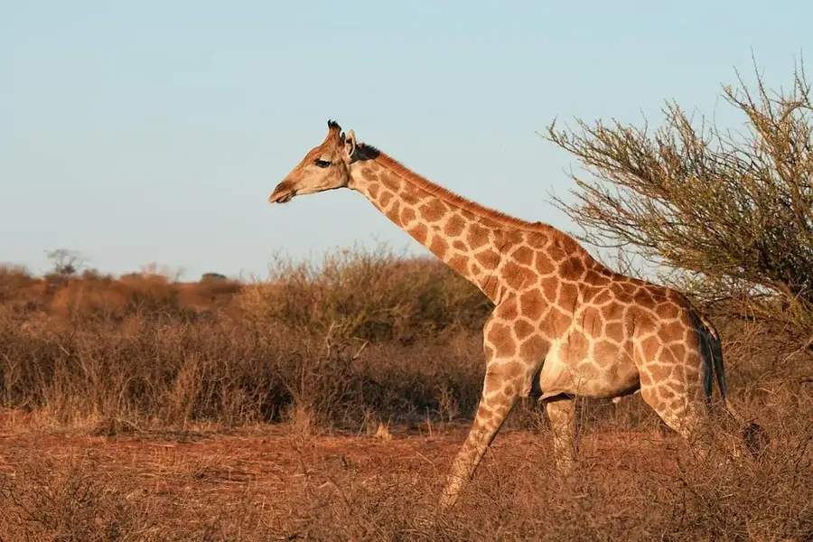
What animals live there?
What is the climate like there?
Mount Wating: where is it located?
Mount Wating: what is there to see?
Mount Wating: when is the best time to visit?
Mount Wating: why is it worth visiting?

Nearby cities

History & landmarks
Nature
More places