Plizio Visual Lab
Fouta Djallon Highlands (outliers)
Weather…
Water temperature…
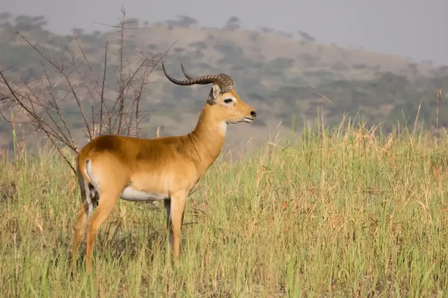
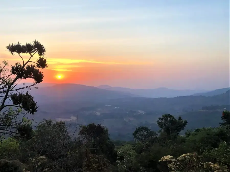
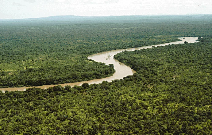
The Fouta Djallon highlands, whose foothills extend into southeastern Senegal within the Kédougou region, are famously known as the 'water tower of West Africa.' In these Senegalese outliers, the massif reaches elevations of 400 to 500 meters, shaping a landscape of sandstone plateaus, deep valleys, and spectacular waterfalls like the Dindéfélo Falls. This region receives the highest annual rainfall in Senegal, supporting lush vegetation and dense gallery forests along its waterways. Geologically, the highlands are composed of ancient Precambrian rocks, creating a rugged and ecologically distinct environment. It is the traditional home of the Fula (Peul) people, who utilize the high plateaus for seasonal livestock grazing. The area is also one of the last remaining refuges for wild chimpanzees in Senegal, highlighting its immense value for international wildlife conservation. The dramatic topography and isolation make it a premier destination for hiking and ecological research.
- Location: Senegal
- Nearby: Niokolo-Koba National Park (85 km)
Best time to visit & climate
The most pleasant time to visit is Jan, Nov, Dec.
| Jan | Feb | Mar | Apr | May | Jun | Jul | Aug | Sep | Oct | Nov | Dec | |
|---|---|---|---|---|---|---|---|---|---|---|---|---|
| Avg °C | 26 | 29 | 31 | 33 | 33 | 29 | 27 | 26 | 26 | 26 | 26 | 25 |
| Rain mm | 2 | 1 | 2 | 6 | 57 | 160 | 286 | 393 | 270 | 92 | 8 | 0 |
📋 Practical info
Geography
Facts
- Home to Senegal's highest waterfall, Dindéfélo, at 115 meters.
- Annual rainfall in the region often exceeds 1,200 mm.
- Geological formations consist primarily of Paleozoic sandstone.
- Critical habitat for the world's northernmost chimpanzee populations.
- The Kédougou region contains the Senegalese foothills of the massif.
- Source of numerous small streams that feed into the Gambia River.
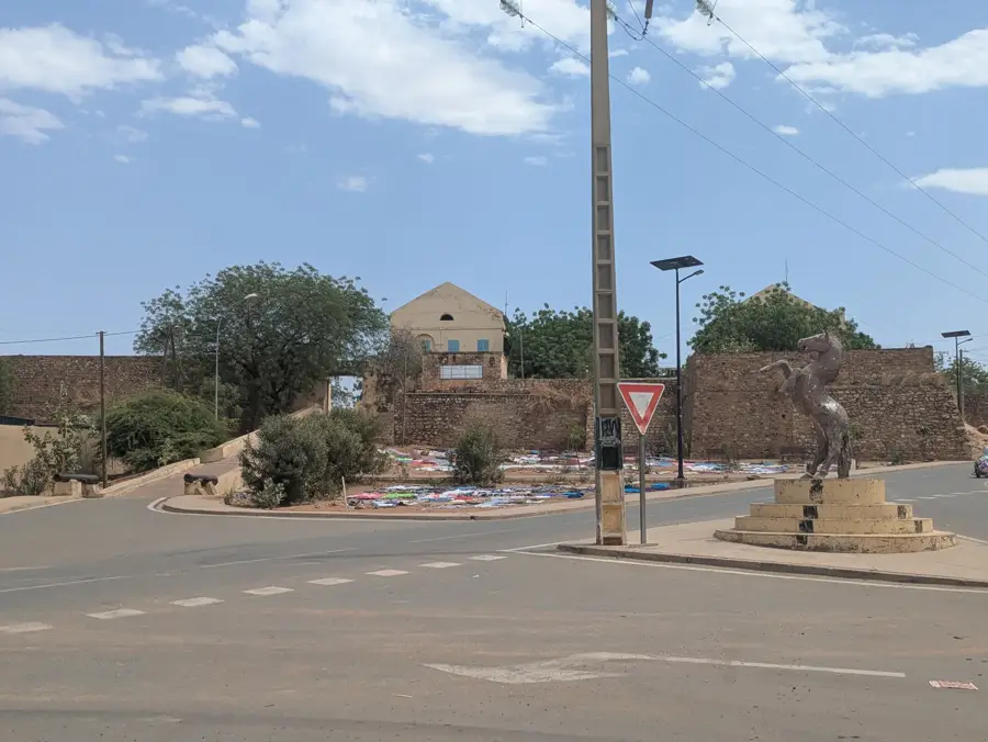
Explore nearby
Notable places around
Route planner — Car & Motorhome
Where do you start? We build the route here, with stops and country notes along the way.
© OpenStreetMap contributors · OpenRouteService
Sights in the town Fouta Djallon Highlands (outliers) (1)
Sights nearby
Frequently asked questions
How demanding are the hikes?
Best season?
Do I need a 4x4?
Are there waterfalls?
Do I need malaria protection?
Fouta Djallon Highlands (outliers): where is it located?
Fouta Djallon Highlands (outliers): when is the best time to visit?
Fouta Djallon Highlands (outliers): why is it worth visiting?

Nearby cities
Nature
More places