Plizio Visual Lab
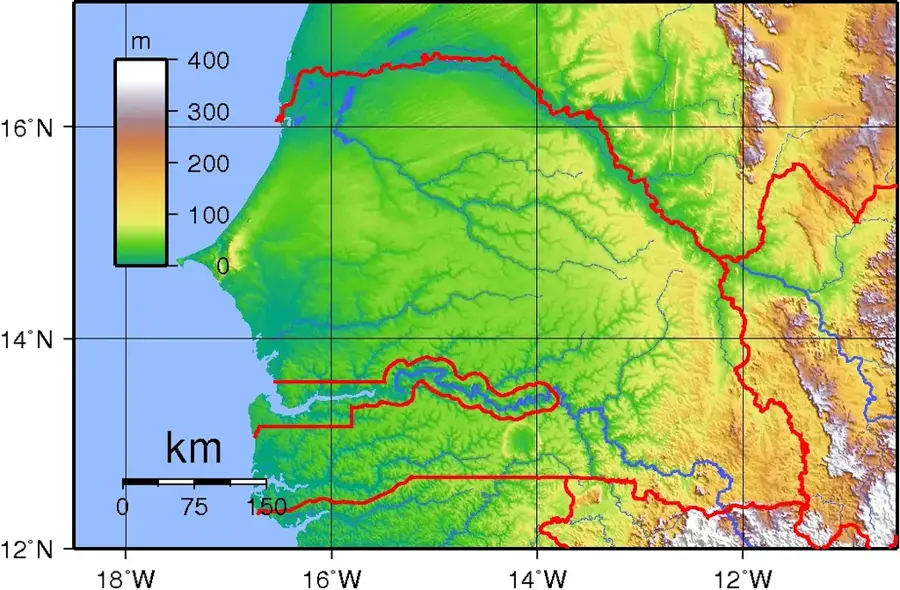
Fouta-Djallon highlands

Weather…
Water temperature…
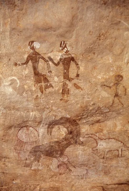
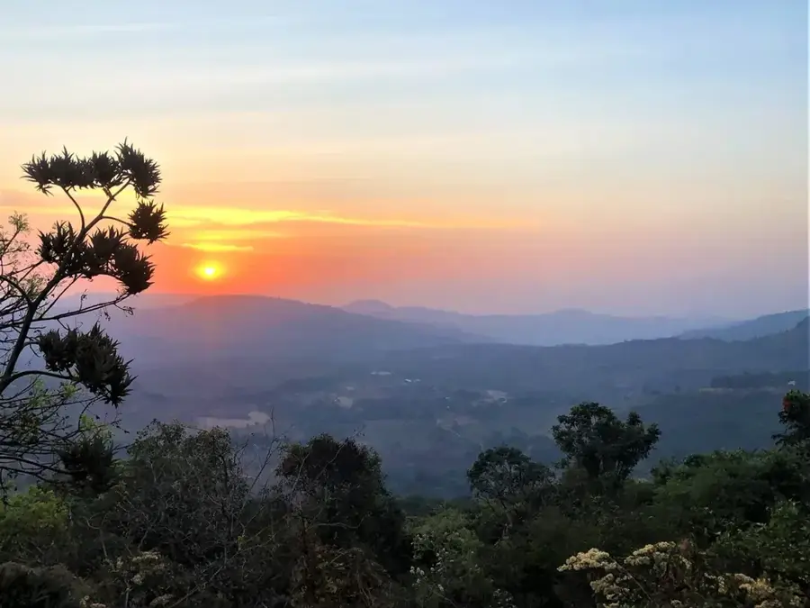
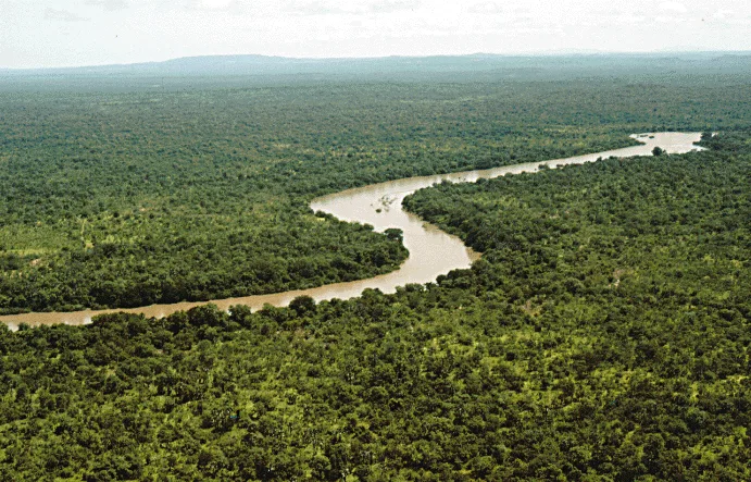
The Fouta-Djallon highlands, whose foothills extend into the far southeast of Senegal, are known as the 'water tower of West Africa.' This impressive mountain plateau consists primarily of massive sandstone that has been carved by erosion into deep canyons, spectacular waterfalls, and bizarre rock formations. The region is the source of major rivers such as the Senegal, Gambia, and Niger, giving it immense strategic importance for the entire subregion. Due to its elevation, the climate is cooler and wetter than in the lowlands, favoring a unique flora with mountain forests and rare orchid species. Historically, the highlands were a center of Fulbe culture and the seat of a powerful Islamic imariate in the 18th and 19th centuries. The architecture of traditional round houses and terraced slopes bear witness to centuries of adaptation to the mountainous terrain. Today, the highlands are a significant destination for hikers and nature lovers who appreciate the region's untouched wilderness and cultural authenticity.
- Location: Senegal
- Nearby: Niokolo-Koba National Park (63 km)
Best time to visit & climate
The most pleasant time to visit is Jan, Nov, Dec.
| Jan | Feb | Mar | Apr | May | Jun | Jul | Aug | Sep | Oct | Nov | Dec | |
|---|---|---|---|---|---|---|---|---|---|---|---|---|
| Avg °C | 27 | 30 | 32 | 34 | 33 | 29 | 27 | 26 | 26 | 27 | 26 | 25 |
| Rain mm | 1 | 1 | 1 | 3 | 45 | 172 | 308 | 396 | 289 | 112 | 10 | 0 |
📋 Practical info
Geography
Facts
- The highlands are considered the source of the Senegal, Gambia, and Niger rivers.
- The highest elevation of the entire massif is Mount Loura (1,515 m) in Guinea.
- In Senegal, the foothills reach elevations of about 400 to 500 meters.
- The region is famous for its spectacular waterfalls, such as the Dindefelo Falls.
- Geologically, Paleozoic sandstones dominate the plateau.
- The climate allows for the cultivation of fruit varieties that are otherwise rare in Senegal.
Explore nearby
Notable places around
Route planner — Car & Motorhome
Where do you start? We build the route here, with stops and country notes along the way.
© OpenStreetMap contributors · OpenRouteService
Sights nearby
Frequently asked questions
How demanding are hikes in Fouta-Djallon?
What is the best season to visit?
Are there parking facilities on-site?
Where can I find restaurants or toilets?
How high is the weather risk?
Fouta-Djallon highlands: where is it located?
Fouta-Djallon highlands: when is the best time to visit?
Fouta-Djallon highlands: why is it worth visiting?

Nearby cities
Nature
More places