Plizio Visual Lab
Lubuli

ℹ️Practical info — Lubuli
▾
🌤 Weather — 5 days
📍 Nearby
Sights nearby
💡 Tips
- Stay hydrated at all times, as the Lowveld heat can be very intense for visitors.
- Watch out for 'cane trains' (large tractor-trailers) that dominate the roads during harvest season.
- Visit between April and November to see the sugar cane fields in full harvesting activity.
- Plan your shopping before Sunday, as most local stores close for the day of rest.
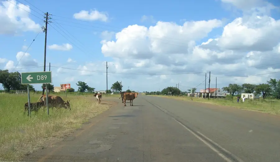
- Drive slowly and stay alert for cattle frequently crossing the roads in this rural area.
🍽 Food
Hearty meat dishes served at the local sugar estate recreation clubs at great prices.
A thick maize porridge often served with local beef or beans as a staple meal.
Head to nearby Big Bend for a meal with a scenic view overlooking the Great Usutu River.
🛍 Shopping · 🧘 Quiet spots
Located south of Lubuli, offering high-quality handmade baskets and textiles.
Buy fresh sugar cane stalks directly from roadside vendors to chew on and taste.
The region's fresh citrus fruits are exceptionally sweet and very affordable here.
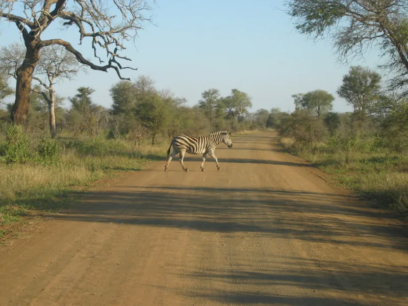
A low-key spot for a quiet game drive to spot giraffes and ostriches without the crowds.
Find a shaded spot along the river where it winds through the estates for birdwatching.
Head toward the escarpment for solitary panoramic views over the Lowveld plains.
Water temperature…
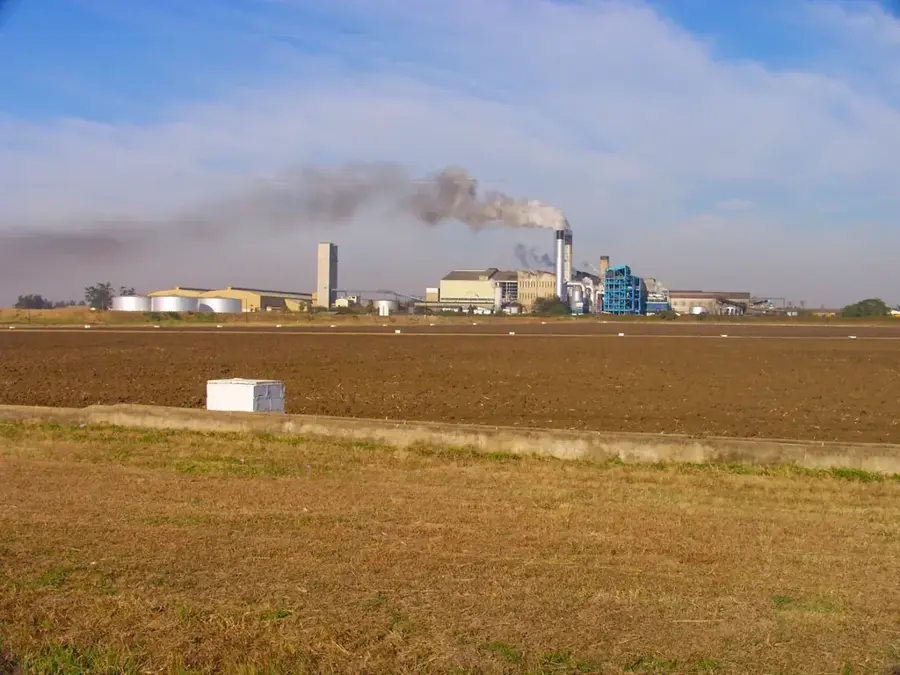
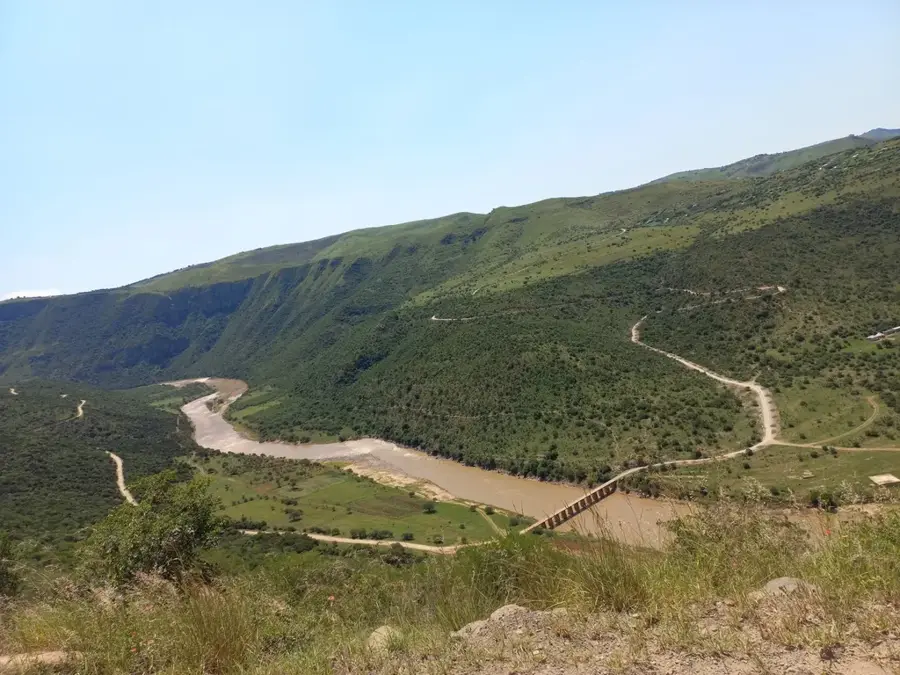
Lubuli lies in the sunny Lowveld of the southern Lubombo District and is a typical example of agro-economic development in eastern Eswatini. The region was strongly shaped in the 1990s and 2000s by the Lower Usutu Smallholder Irrigation Project (LUSIP), which brought water from the Lusutfu River through canals to previously dry farmland, enabling an agricultural revolution. Today endless sugar cane fields stretch around Lubuli, with the crop transported to the nearby Mhlume and Big Bend mills. Bananas, groundnuts and pulses are also grown. The Lowveld climate is hot and semi-arid; summer temperatures often reach 38 to 40 degrees Celsius, while winters remain pleasantly mild. The population lives mostly in traditional villages (umphakatsi) where chiefs administer communal land. Economically the residents benefit both from subsistence farming and from seasonal labor on the plantations. Lubuli is also a junction between important transport routes and lies close to the South African border, easing cross-border trade and resident mobility. The region vividly shows how modern irrigation technology can dramatically boost agricultural productivity in semi-arid areas.
- Location: Eswatini
- Nearby: Nsoko (6 km)
- Population: ~1.175 (2024)
Best time to visit & climate
The most pleasant time to visit is May, Aug, Sep.
| Jan | Feb | Mar | Apr | May | Jun | Jul | Aug | Sep | Oct | Nov | Dec | |
|---|---|---|---|---|---|---|---|---|---|---|---|---|
| Avg °C | 26 | 26 | 25 | 22 | 20 | 18 | 18 | 19 | 22 | 23 | 24 | 25 |
| Rain mm | 127 | 94 | 84 | 48 | 17 | 11 | 13 | 15 | 31 | 58 | 102 | 115 |
Geography
Facts
- Located in the southern Lowveld at an elevation of approximately 200 meters.
- Significant site for irrigated sugar cane cultivation.
- Situated near the Lavumisa border crossing into South Africa.
- The climate is arid to semi-arid with extremely hot summer days.
- Hub for cotton production in southern Eswatini.
- Nearby protected areas include the Nisela Game Reserve.
Explore nearby
Notable places around
Route planner — Car & Motorhome
Where do you start? We build the route here, with stops and country notes along the way.
© OpenStreetMap contributors · OpenRouteService
Frequently asked questions
What is special about rural Lubuli?
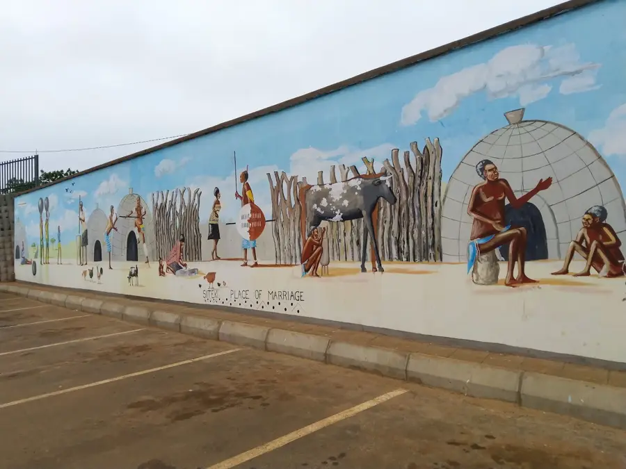
Are there cultural attractions in Lubuli?
Is Lubuli safe for solo travelers?
Can you experience traditional festivals in Lubuli?
How can I continue my journey from Lubuli?
Lubuli: where is it located?
Lubuli: when is the best time to visit?
Lubuli: why is it worth visiting?

Nearby cities


History & landmarks


Nature

More places