Plizio Visual Lab
Big Bend

ℹ️Practical info — Big Bend
▾
🌤 Weather — 5 days
📍 Nearby
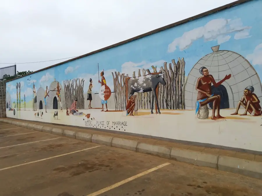
Sights nearby
💡 Tips
- Expect to share the roads with large, slow-moving sugar cane trucks, especially during the harvest season.
- The climate here in the Lowveld is very hot and dry; always carry water and sun protection.
- Both the Eswatini Lilangeni and the South African Rand are widely accepted on a 1:1 basis.
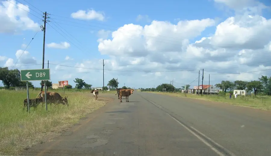
- Avoid driving outside the town at night due to wandering livestock and unlit roads.
🍽 Food
Buy a stalk from local vendors to chew on the sweet juice.
A classic Southern African staple found at local barbecue stands or 'shisa nyama' spots.
Renowned for its quality, available at local steakhouses or country clubs.
🛍 Shopping · 🧘 Quiet spots
Fresh citrus and tropical fruits grown in the region's fertile soil.
Look for small handicraft stalls along the main routes passing through the area.
A peaceful spot to watch the water flow and spot local birdlife.
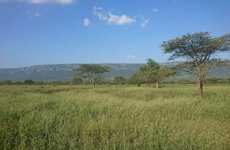
The expansive fields offer a beautiful, serene backdrop as the sun goes down.
Water temperature…
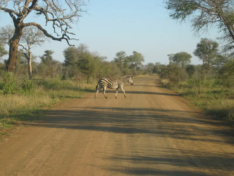
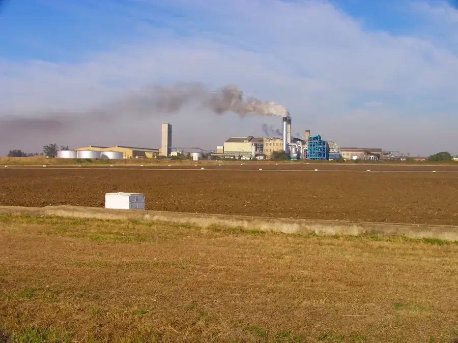
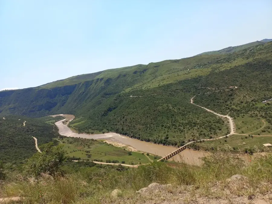
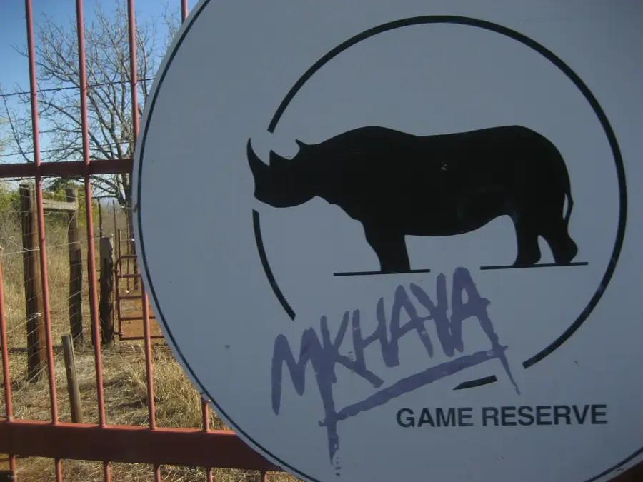
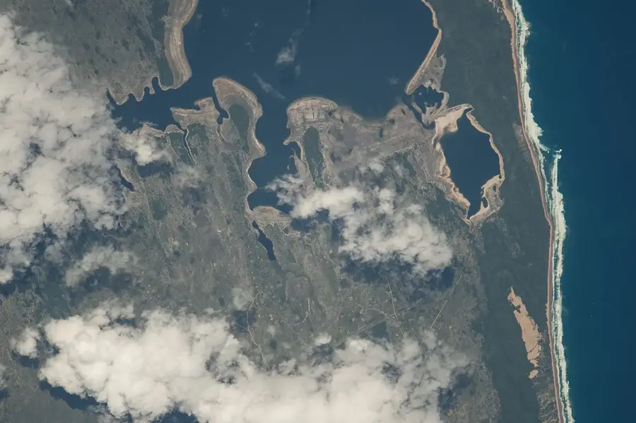
Big Bend lies in the southeastern Lubombo District and owes its name to the dramatic loop of the Lusutfu River that almost completely encircles the town. The settlement grew up in the 1950s around the Ubombo Sugar Mill, one of southern Africa's earliest large-scale sugar refineries, today part of the Illovo Sugar Group. At an altitude of barely 100 meters the Lowveld climate is subtropical and often oppressively hot, with summer temperatures climbing above 40 degrees Celsius, creating handy conditions for sugar cane cultivation. Endless green plantations stretch around Big Bend, irrigated through an elaborate canal network drawing water from the Great Usutu River. The town itself is compact, featuring the historic New Bend Inn, a small clinic, a police station, and residential compounds for the sugar mill's workforce. Of touristic interest are the nearby Mkhaya and Hlane Wildlife Reserves, home to rhinos, elephants and lions, along with the pristine Lubombo Mountains to the east. Big Bend is therefore a key hub of southern Africa's sugar economy and an authentic gateway to wild Eswatini.
- Location: Eswatini
- Nearby: Matata (7 km)
- Population: ~6.433 (2026)
Best time to visit & climate
The most pleasant time to visit is May, Aug, Sep.
| Jan | Feb | Mar | Apr | May | Jun | Jul | Aug | Sep | Oct | Nov | Dec | |
|---|---|---|---|---|---|---|---|---|---|---|---|---|
| Avg °C | 26 | 26 | 25 | 22 | 20 | 18 | 18 | 19 | 22 | 23 | 24 | 25 |
| Rain mm | 127 | 94 | 84 | 48 | 17 | 11 | 13 | 15 | 31 | 58 | 102 | 115 |
Geography
Facts
- Big Bend is located in the Lubombo region in eastern Eswatini.
- The Great Usutu River (Lusutfu) is the town's vital water source.
- The Ubombo Sugar Mill in Big Bend began operations in 1958.
- The town sits at an elevation of approximately 75 to 100 meters above sea level.
- Summer temperatures in Big Bend can often rise above 40 degrees Celsius.
- The area is known for its rich birdlife along the riverbanks.
Explore nearby
Notable places around
Route planner — Car & Motorhome
Where do you start? We build the route here, with stops and country notes along the way.
© OpenStreetMap contributors · OpenRouteService
Sights in the town Big Bend (1)
Frequently asked questions
What characterizes Big Bend?
Is a visit worthwhile?
What is the best season?
How is the infrastructure?
Are there family activities here?
Big Bend: where is it located?
Big Bend: when is the best time to visit?
Big Bend: why is it worth visiting?

Nearby cities


History & landmarks

Nature
More places