Plizio Visual Lab
Madlangampisi
ℹ️Practical info — Madlangampisi
▾
🌤 Weather — 5 days
📍 Nearby
Sights nearby
💡 Tips
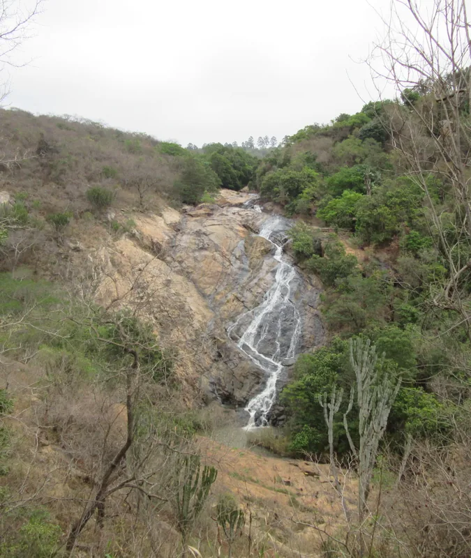
- Plan time for a scenic drive to the nearby Maguga Dam, which is a major regional highlight.
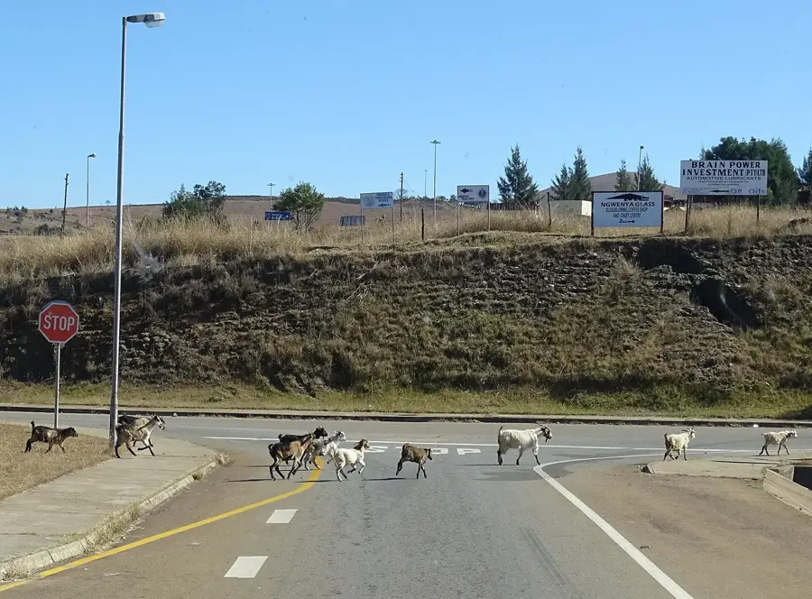
- Drive cautiously as livestock often cross the roads in this agricultural area.
- Visit in the morning when the local community trade is most active.
- Ask locals for directions to the sugar cane fields for great landscape photography.
- Carry enough cash as ATMs are limited in this rural settlement.
🍽 Food
Taste the sweet sugar cane directly from the fields, often sold in small bundles by the road.
This traditional sour milk mixed with maize porridge is a local staple diet.
In summer, you will find freshly roasted corn on the cob sold everywhere along the roadside.
🛍 Shopping · 🧘 Quiet spots
Buy fresh vegetables and seasonal fruits directly from the local farms.
You can often find high-quality wood carvings and local crafts near the dam area.
Find a quiet spot along the river for birdwatching and peaceful reflection.
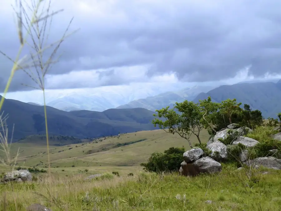
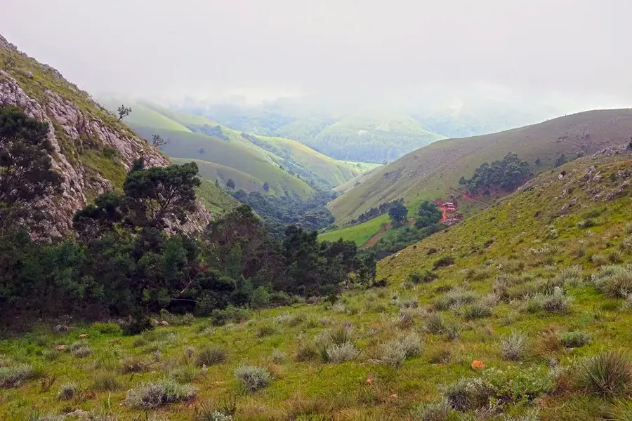
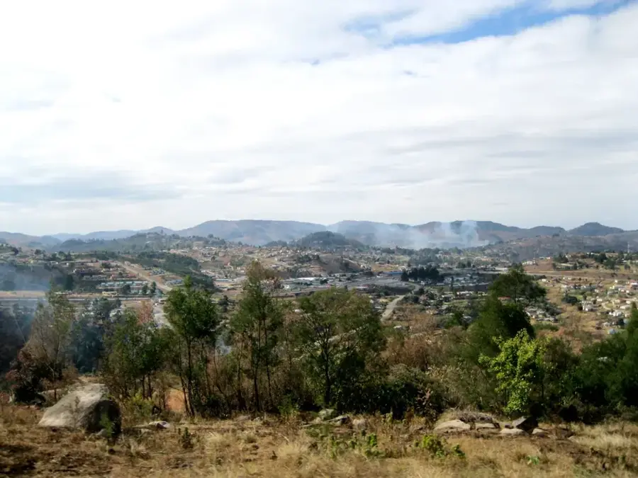
The rolling hills around the settlement offer wide views over the agricultural plains.
Water temperature…
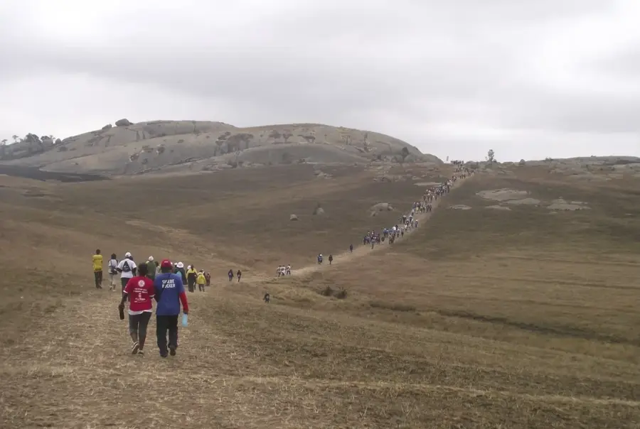
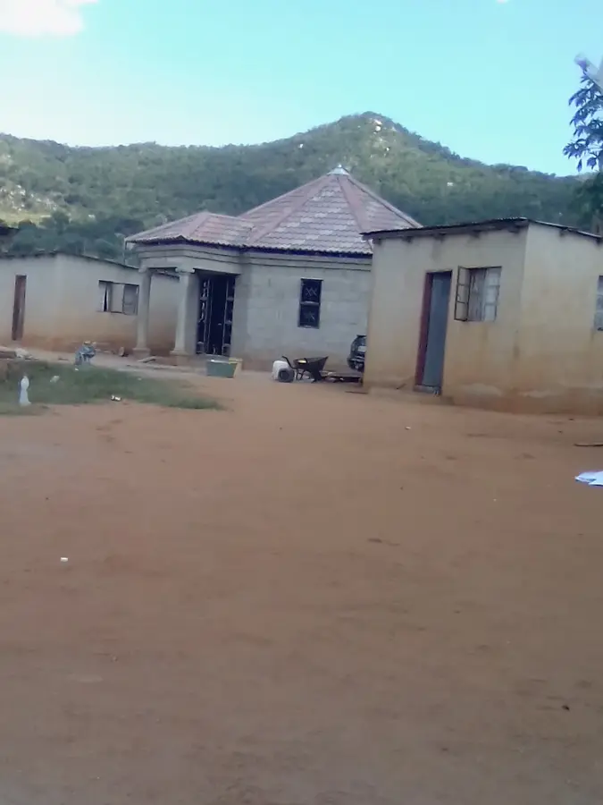
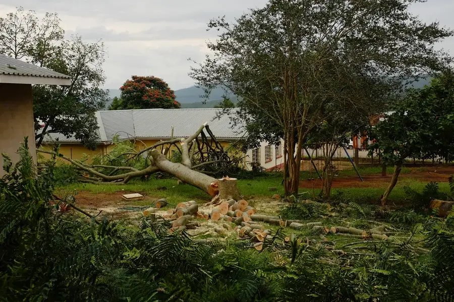
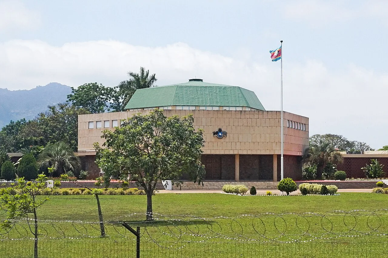
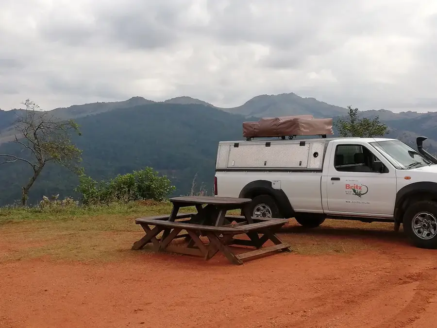
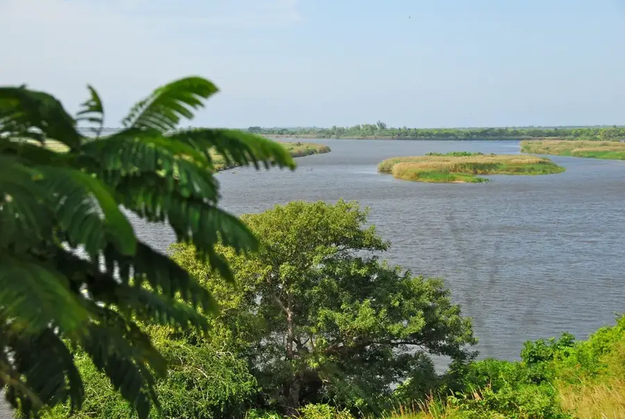
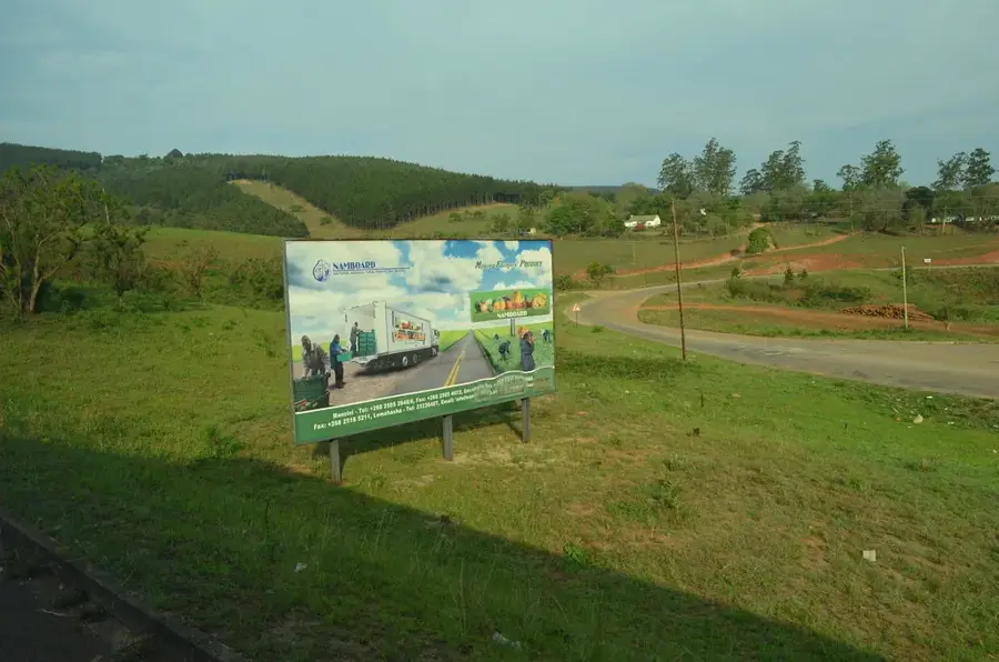
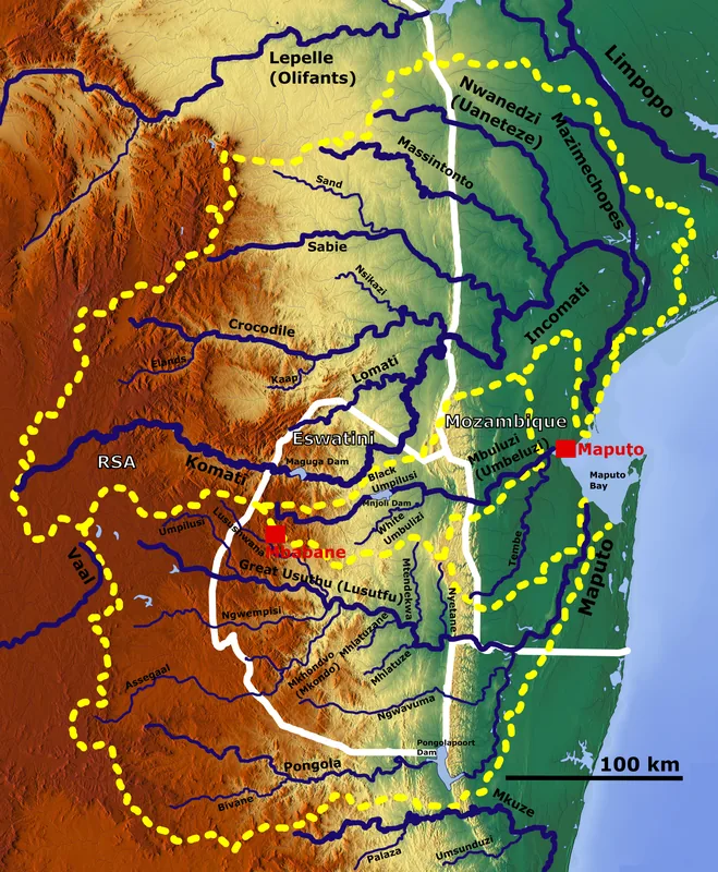
Madlangampisi is a small, rural community in the Hhohho District in northern Eswatini whose name means 'place of the hyenas' in siSwati, a reference to the once-wild surroundings inhabited by predators. Today the region is primarily a hub of subsistence and smallholder farming, with maize, pulses, sweet potatoes and vegetables being the most important crops. The fertile soils of the middle Highveld and a temperate climate with sufficient summer rain favor cultivation. Its position between the Komati and Mbuluzi river basins provides a relatively stable water supply. Madlangampisi is also known for its traditional chieftaincies (umphakatsi) in which royal family members handle local justice and land distribution. In recent years several rural development projects have been launched in the community, including solar power schemes, water-pump systems and cooperatives for beekeeping and mushroom growing. Culturally, Sibhaca dances, marula festivals and initiation rituals shape the lives of the younger generation. The region is also a gateway to the Mlawula highlands and the Komati River basin, where rare birds such as the Egyptian vulture and antelopes like the klipspringer can be observed.
- Location: Eswatini
- Top sights: Bholekane · Madlangempisi
- Nearby: Croydon (12 km)
Best time to visit & climate
The most pleasant time to visit is May, Sep, Oct.
| Jan | Feb | Mar | Apr | May | Jun | Jul | Aug | Sep | Oct | Nov | Dec | |
|---|---|---|---|---|---|---|---|---|---|---|---|---|
| Avg °C | 23 | 23 | 22 | 19 | 17 | 15 | 15 | 17 | 19 | 21 | 22 | 23 |
| Rain mm | 142 | 97 | 83 | 54 | 14 | 9 | 10 | 12 | 27 | 58 | 99 | 125 |
Geography
Facts
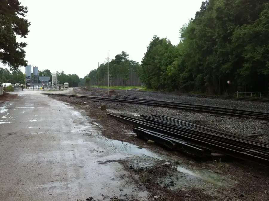
- Madlangampisi is located at the major road junction of the MR5 and MR24 highways.
- The town is situated approximately 30 kilometers from the town of Tshaneni.
- The Madlangampisi Clinic serves a population of over 10,000 in the region.
- The area is recognized for its traditional pottery craftsmanship.
- The Komati River is utilized here for several communal irrigation schemes.
- The settlement is a key stop for public transport services heading north.
Explore nearby
Notable places around
Route planner — Car & Motorhome
Where do you start? We build the route here, with stops and country notes along the way.
© OpenStreetMap contributors · OpenRouteService
Sights in the town Madlangampisi (2)
Frequently asked questions
How many days should I plan for Madlangampisi?
What is the best time to visit Madlangampisi?
What is the best way to get to Madlangampisi?
What local specialties should I try in Madlangampisi?
Is Madlangampisi family-friendly?
Madlangampisi: where is it located?
Madlangampisi: what is there to see?
Madlangampisi: when is the best time to visit?
Madlangampisi: why is it worth visiting?

Nearby cities

History & landmarks


Nature
More places