Plizio Visual Lab
Mlumati River
Weather…
Water temperature…
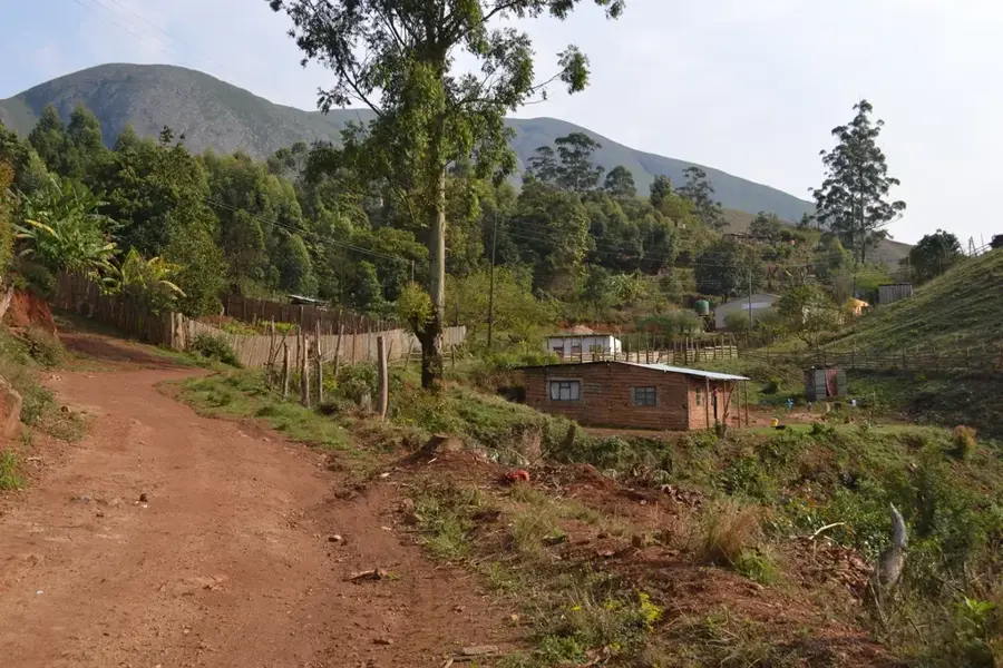
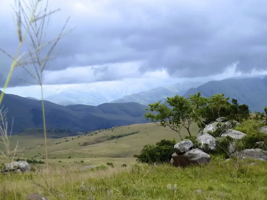
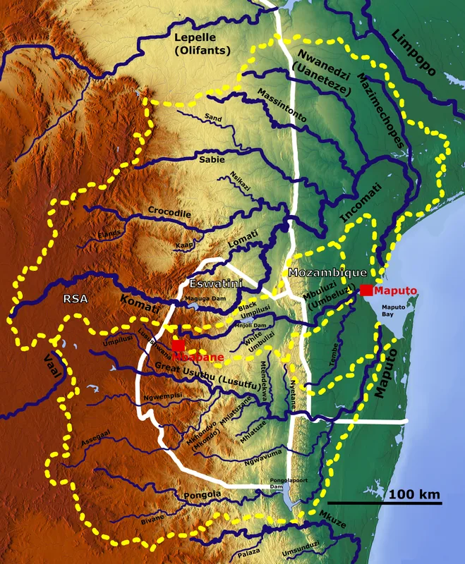
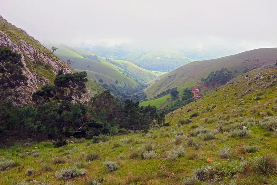
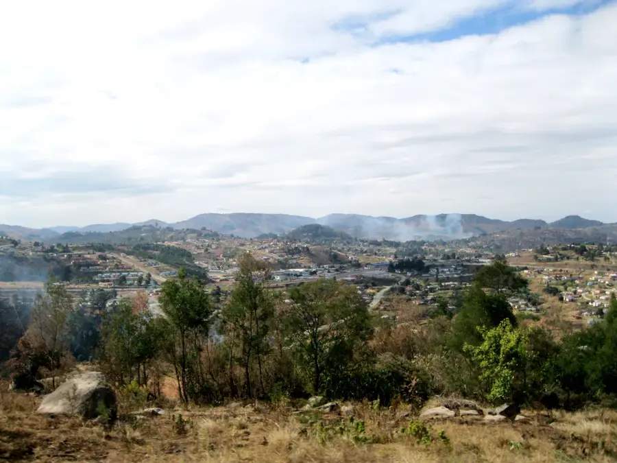
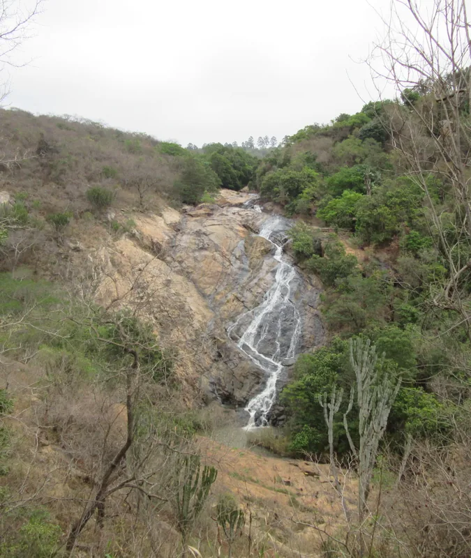
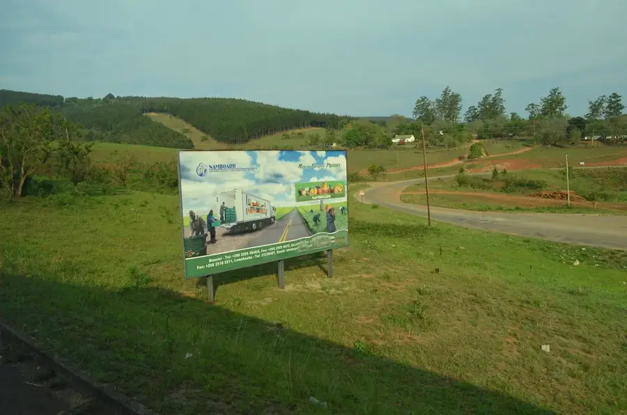
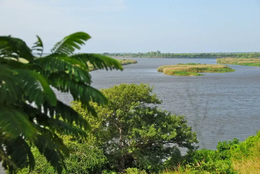
The Mlumati River is a significant watercourse in northeastern Eswatini and a major tributary of the Komati River. It originates in the South African Drakensberg mountains and flows eastward through Mpumalanga province before crossing the border into Eswatini. In Eswatini, the river plays a central role in agriculture, particularly providing irrigation for the extensive sugarcane plantations in the Lowveld region. Geographically, its path is characterized by diverse landscapes, ranging from deep gorges in the highlands to wide, sandy beds in the lower plains. Historically, the river's course often served as a landmark for early settlers and trade routes within the region. It supports a variety of fish species and maintains rich riparian vegetation that provides shelter for many birds. Due to intensive agricultural use, the water management of the Mlumati is a critical environmental issue and a basis for transboundary cooperation with South Africa.
- Location: Eswatini
- Nearby: Bulembu (15 km)
Best time to visit & climate
The most pleasant time to visit is May, Sep, Oct.
| Jan | Feb | Mar | Apr | May | Jun | Jul | Aug | Sep | Oct | Nov | Dec | |
|---|---|---|---|---|---|---|---|---|---|---|---|---|
| Avg °C | 23 | 23 | 22 | 19 | 17 | 15 | 15 | 17 | 19 | 21 | 22 | 23 |
| Rain mm | 142 | 97 | 83 | 54 | 14 | 9 | 10 | 12 | 27 | 58 | 99 | 125 |
📋 Practical info
Geography
Facts
- The Mlumati is a primary tributary of the larger Komati River.
- The river originates in the South African Drakensberg mountains.
- It provides water for thousands of hectares of sugarcane in the Lowveld.
- The river's course partially forms natural boundaries between provinces.
- Riparian vegetation along the banks hosts rare kingfisher species.
- Water management is governed by a binational treaty with South Africa.
Explore nearby
Notable places around
Route planner — Car & Motorhome
Where do you start? We build the route here, with stops and country notes along the way.
© OpenStreetMap contributors · OpenRouteService
Sights in the town Mlumati River (1)
Sights nearby
Frequently asked questions
Can you fish in the Mlumati River?
What is the water quality like?
Is the river suitable for kayaking?
Are there campsites along the river?
Is the surrounding area safe for hiking?
Mlumati River: where is it located?
Mlumati River: when is the best time to visit?
Mlumati River: why is it worth visiting?

Nearby cities

History & landmarks


Nature
More places