Plizio Visual Lab
Komati River
Weather…
Water temperature…
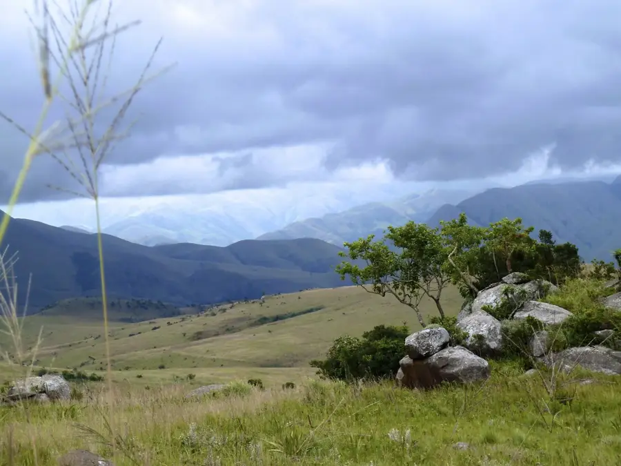
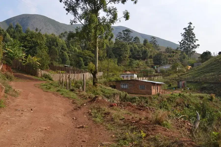
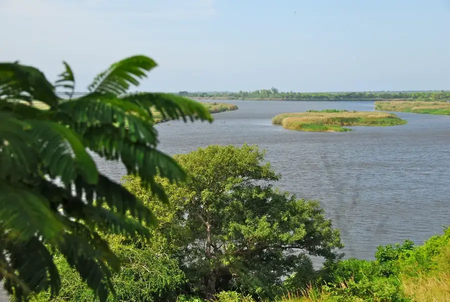
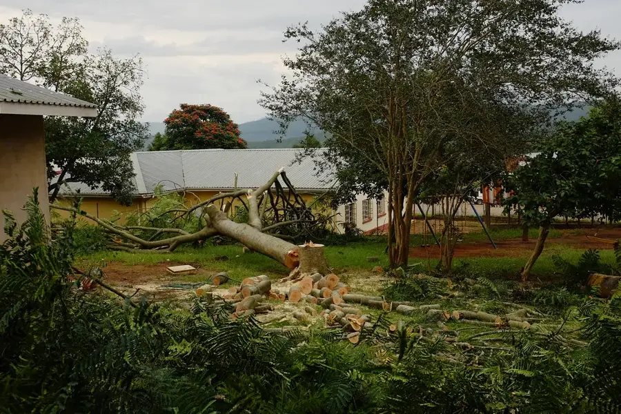
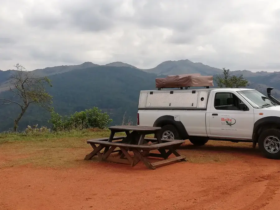
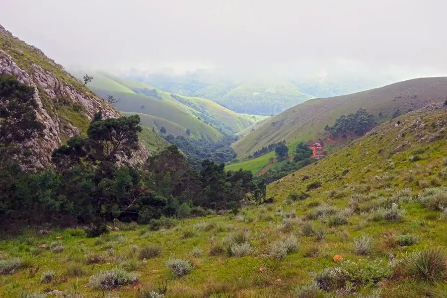
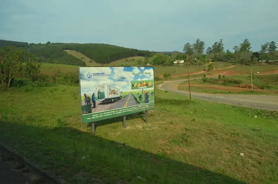
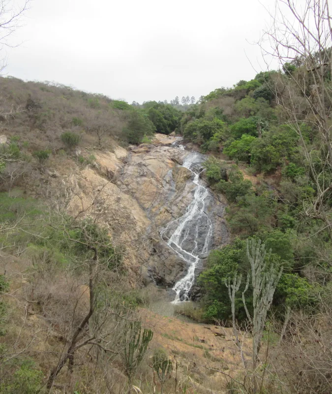
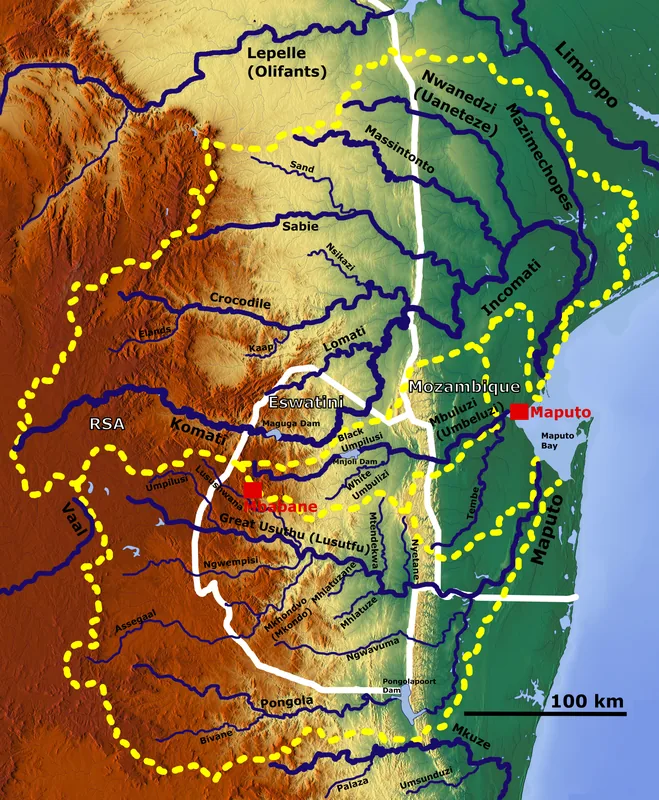
The Komati River is a prominent waterway in Southern Africa, flowing through South Africa, Eswatini, and Mozambique. In Eswatini, it traverses the northern part of the country, where it has gained immense economic importance following the construction of the massive Maguga Dam. The river originates near Ermelo in South Africa and winds through the mountainous terrain of the Highveld, creating deep valleys and fertile riparian zones. The Maguga Dam, one of the country's largest infrastructure projects, serves dual purposes: hydroelectric power generation and the irrigation of agricultural lands, thereby enhancing regional food security. Ecologically, the Komati supports a rich biodiversity, hosting numerous native fish species and a variety of birds that nest in the wetlands along its banks. The scenic backdrop of the river and its reservoir increasingly attracts tourists who enjoy activities such as fishing, boating, and wildlife viewing.
- Location: Eswatini
- Top sights: Nsangwini Rock Art · The Gap
- Nearby: Piggs Peak (7 km)
Best time to visit & climate
The most pleasant time to visit is May, Sep, Oct.
| Jan | Feb | Mar | Apr | May | Jun | Jul | Aug | Sep | Oct | Nov | Dec | |
|---|---|---|---|---|---|---|---|---|---|---|---|---|
| Avg °C | 23 | 23 | 22 | 19 | 17 | 15 | 15 | 17 | 19 | 21 | 22 | 23 |
| Rain mm | 142 | 97 | 83 | 54 | 14 | 9 | 10 | 12 | 27 | 58 | 99 | 125 |
📋 Practical info
Geography
Facts
- The Komati River flows through South Africa, Eswatini, and Mozambique.
- The Maguga Dam on the Komati is the largest dam in Eswatini.
- The river's name is derived from the Swati word for 'cow' or 'river of cows'.
- It supports a 19-megawatt hydroelectric power station at Maguga.
- The river is a critical resource for the Komati Downstream Development Project.
- It eventually joins the Crocodile River to form the Incomati in Mozambique.
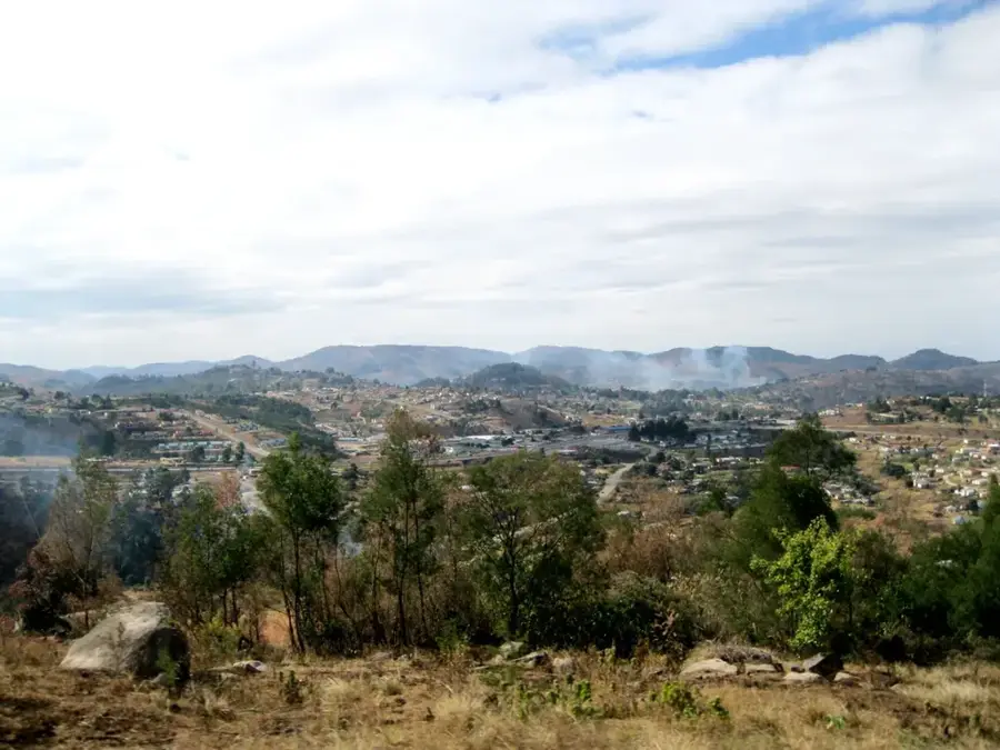
Explore nearby
Notable places around
Route planner — Car & Motorhome
Where do you start? We build the route here, with stops and country notes along the way.
© OpenStreetMap contributors · OpenRouteService
Sights in the town Komati River (2)
Sights nearby
Frequently asked questions
Are there boat tours on the Komati River?
Do you have to watch out for crocodiles?
Is the area suitable for hiking?
What season is best for a visit?
Are there nearby lodges?
Komati River: where is it located?
Komati River: what is there to see?
Komati River: when is the best time to visit?
Komati River: why is it worth visiting?

Nearby cities

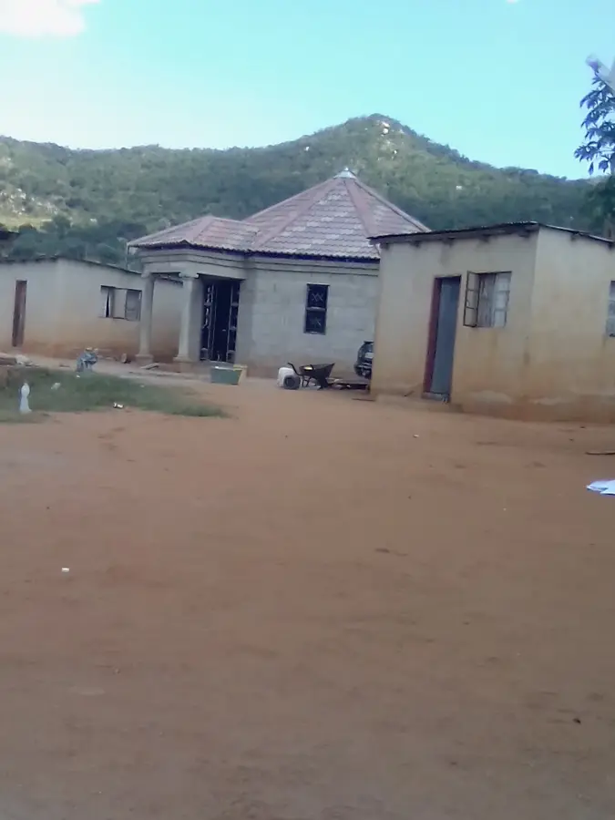
History & landmarks


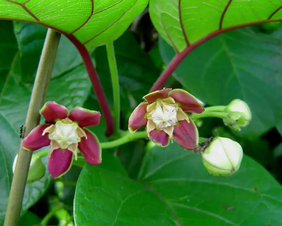
Nature
More places