Plizio Visual Lab
Ravna gora
Weather…
Water temperature…
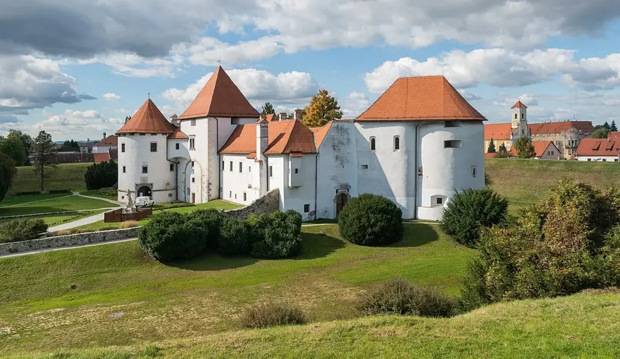
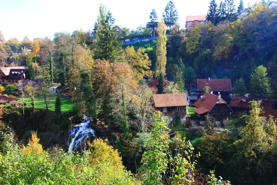
Ravna gora is a popular hiking destination located in the Zagorje region of northern Croatia, near the border with Slovenia. Its highest peak reaches an elevation of 686 meters, offering commanding views of the rolling hills and the nearby Trakošćan Castle. Geologically, the mountain is composed of Triassic limestones and dolomites, resulting in a diverse landscape featuring small caves and interesting rock formations. Due to its favorable thermal conditions, Ravna gora is widely regarded as one of the best locations for paragliding and hang gliding in Croatia. The slopes are predominantly covered in broadleaf forests, but also feature mountain meadows home to numerous protected plant species. A mountain lodge at the summit serves as a key stop for hikers on the Zagorje Mountaineering Trail, operating throughout the year. The region is also steeped in cultural traditions related to forestry and viticulture, which define the local way of life.
- Location: Croatia
- Top sights: Piramida Ravna Gora · Filićev dom
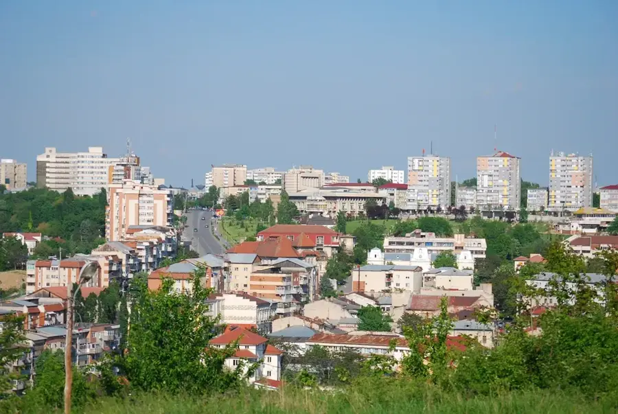
- Nearby: Ivanec (13 km)
Best time to visit & climate
The most pleasant time to visit is Jun–Aug.
| Jan | Feb | Mar | Apr | May | Jun | Jul | Aug | Sep | Oct | Nov | Dec | |
|---|---|---|---|---|---|---|---|---|---|---|---|---|
| Avg °C | -1 | 1 | 5 | 11 | 16 | 20 | 23 | 22 | 16 | 11 | 5 | 0 |
| Rain mm | 40 | 50 | 50 | 52 | 84 | 86 | 83 | 83 | 95 | 71 | 65 | 52 |
📋 Practical info
Geography
Facts
- The highest peak stands at 686 meters above sea level.
- Part of the Zagorje mountain range in northern Croatia.
- One of the leading paragliding centers in the country.
- Geologically composed of Triassic limestone and dolomite.
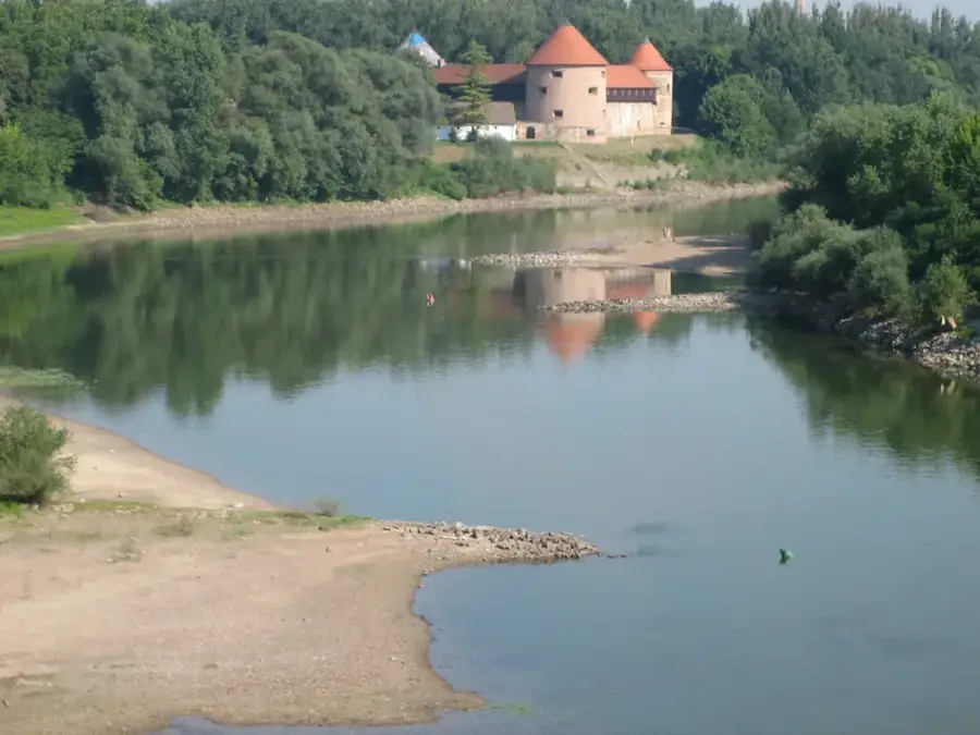
- Provides a clear view of the 13th-century Trakošćan Castle.
- The Filićev dom mountain lodge serves hikers year-round.
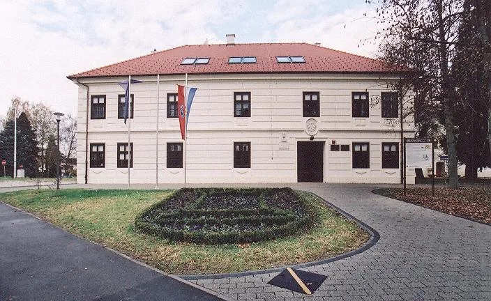
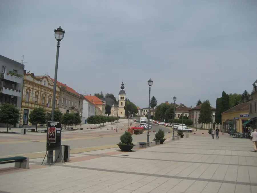
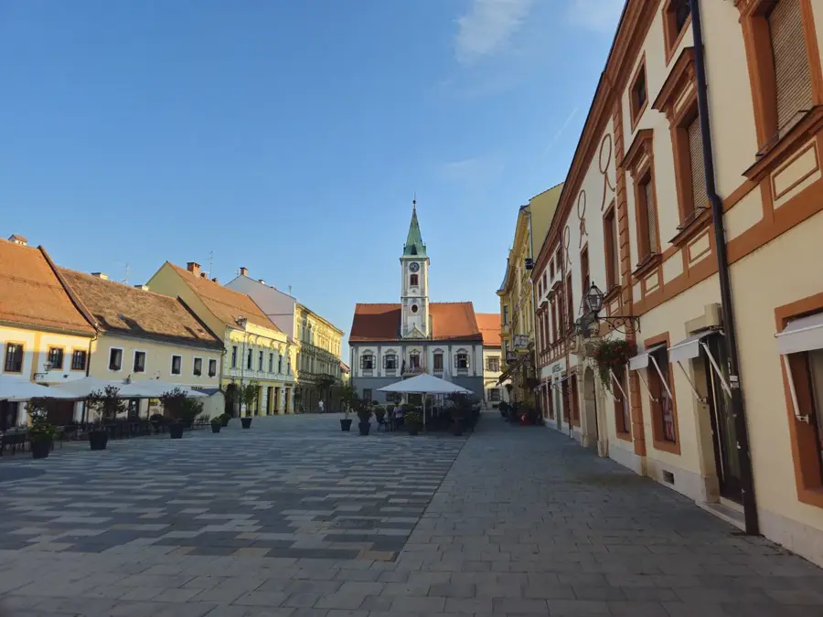
Explore nearby
Notable places around
Route planner — Car & Motorhome
Where do you start? We build the route here, with stops and country notes along the way.
© OpenStreetMap contributors · OpenRouteService
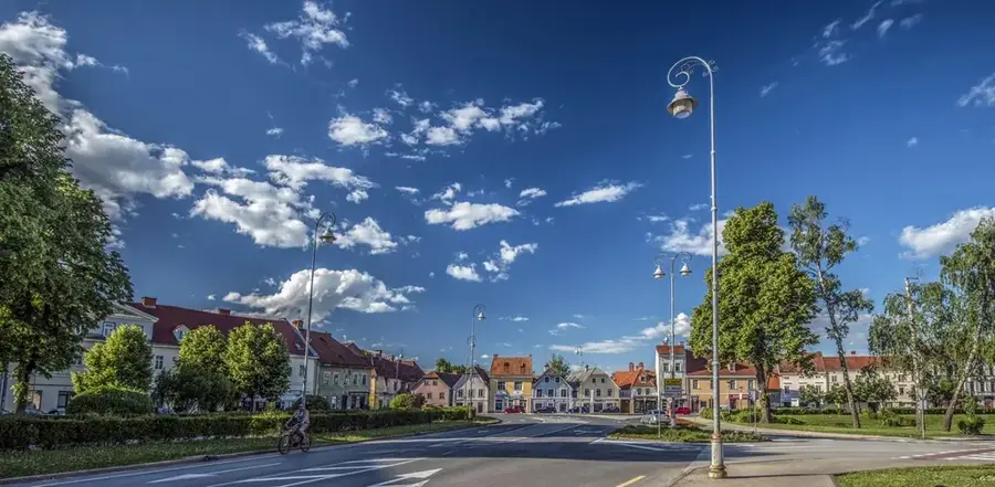
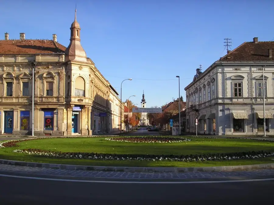
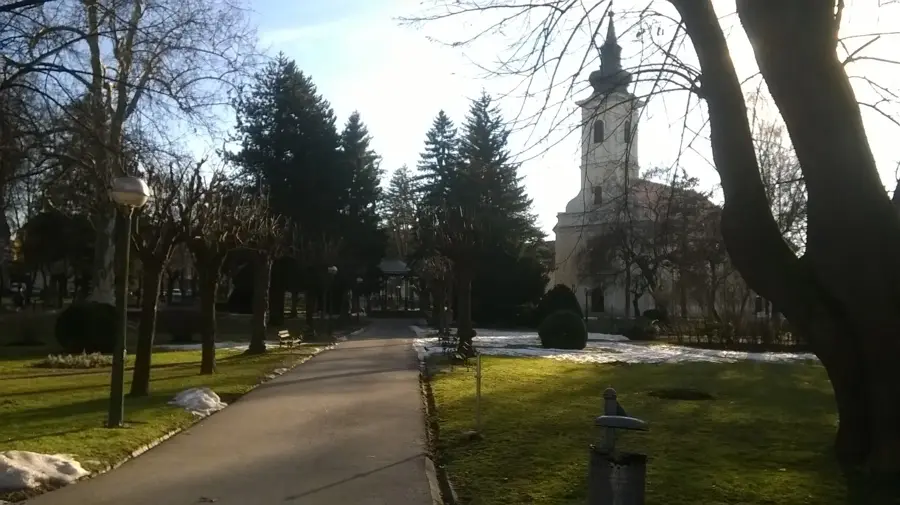
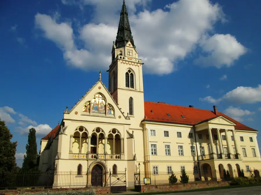
Sights in the town Ravna gora (2)
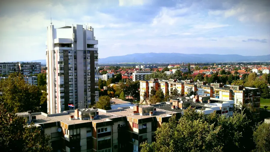
Sights nearby
Frequently asked questions
How difficult is the hike to Ravna Gora?
Is there a mountain hut at the summit?
When is the best time to visit?
Can paragliders launch from here?
Is the trail suitable for children?
Ravna gora: where is it located?
Ravna gora: what is there to see?
Ravna gora: when is the best time to visit?
Ravna gora: why is it worth visiting?

Nearby cities