Plizio Visual Lab
Ivanščica
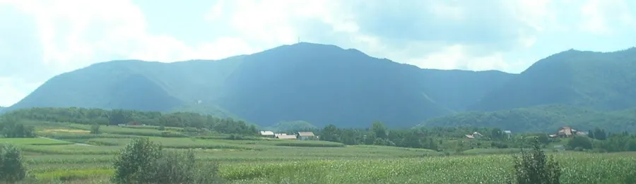
Ivanščica is the highest mountain range in northern Croatia, located in the historical region of Hrvatsko Zagorje. Its highest peak, also named Ivanščica (or Ivančica), reaches an elevation of 1,061 meters and is a prominent landmark in the undulating landscape. The range stretches for about 30 kilometers in a west-east direction and consists primarily of limestone and dolomite, leading to interesting rock formations and caves. The slopes are covered with thick beech and oak forests, which have been managed for centuries. Historically, the mountain is closely linked to the Order of Saint John (Johanniters), from which its name is derived. Ruins of old medieval fortifications like Belecgrad and Milengrad are perched on its spurs, testifying to the region's strategic importance in the Middle Ages. Ivanščica serves as a major climatic divide, significantly affecting weather patterns in the Zagorje area. Today, the mountain is a hub for hiking and mountaineering, with numerous trails and a popular mountain lodge at the summit. Additionally, the region is famous for its rich tradition of legends and folk tales often set in the mountain's deep woods.
- Location: Croatia
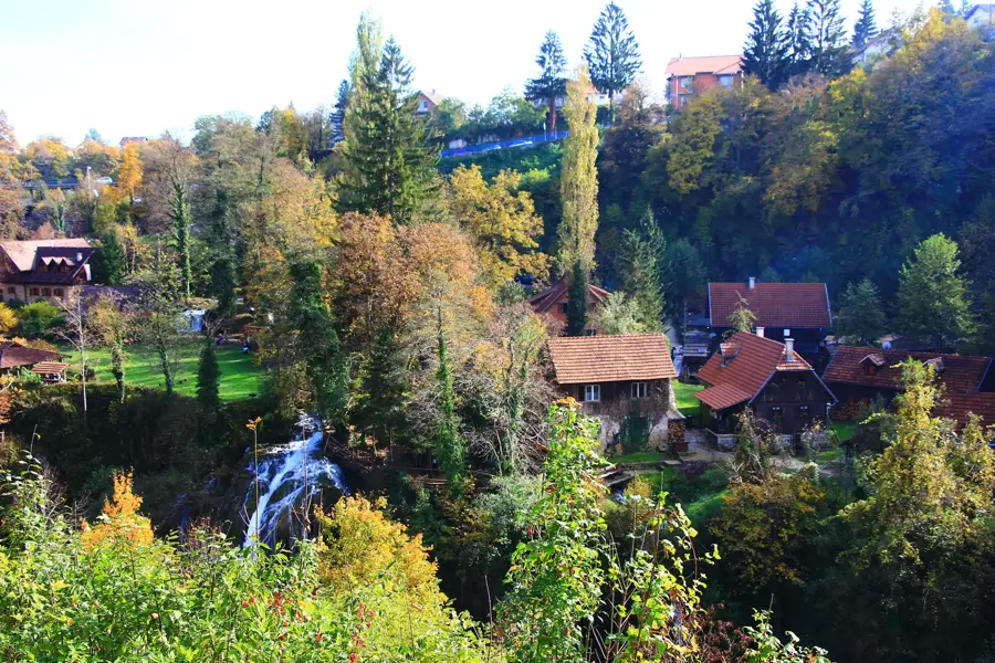
- Top sights: Stričevo · Ivanščica · Černe mlake
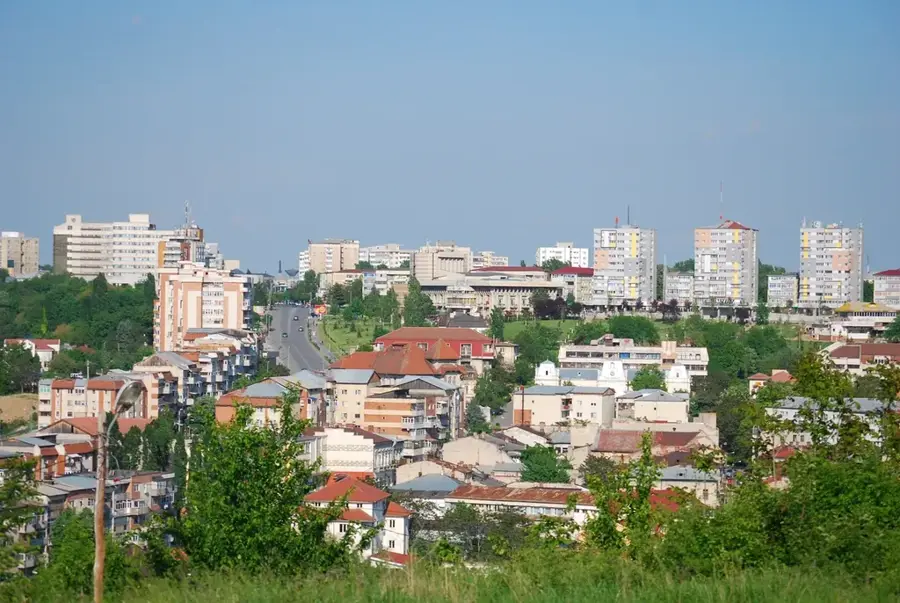
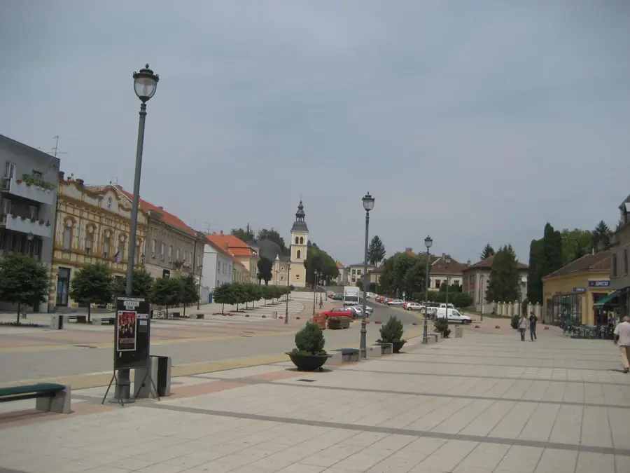
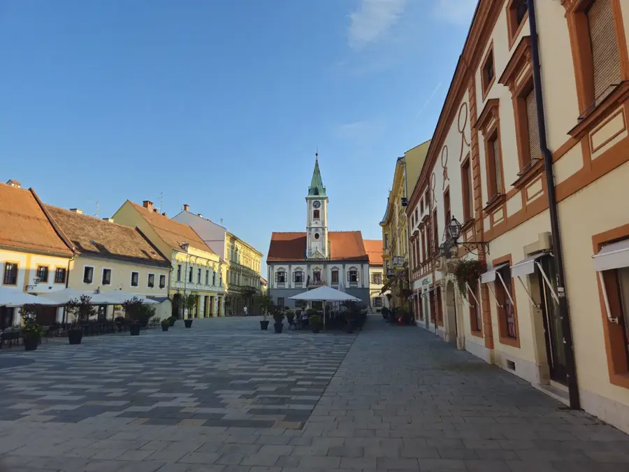
- Nearby: Ivanec (5 km)
Best time to visit & climate
The most pleasant time to visit is Jun–Aug.
| Jan | Feb | Mar | Apr | May | Jun | Jul | Aug | Sep | Oct | Nov | Dec | |
|---|---|---|---|---|---|---|---|---|---|---|---|---|
| Avg °C | -1 | 1 | 6 | 11 | 16 | 20 | 23 | 22 | 17 | 11 | 6 | 1 |
| Rain mm | 52 | 60 | 59 | 62 | 92 | 86 | 82 | 83 | 107 | 83 | 80 | 63 |
📋 Practical info
Geography
Facts
- Ivanščica is the highest peak in northern Croatia at 1,061 meters.
- Its name originates from the Knights Hospitaller (locally called Ivanovci).
- The mountain range is approximately 30 km long and 9 km wide.
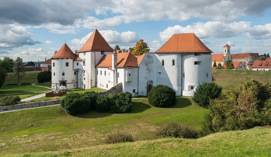
- Belecgrad is one of the most impressive medieval ruins located on the southern slopes.
- The summit lodge, 'Pasarićeva kuća', was originally built in 1929.
- The nearby Vindija Cave is world-famous for its significant Neanderthal remains.
Explore nearby
Notable places around
Route planner — Car & Motorhome
Where do you start? We build the route here, with stops and country notes along the way.
© OpenStreetMap contributors · OpenRouteService
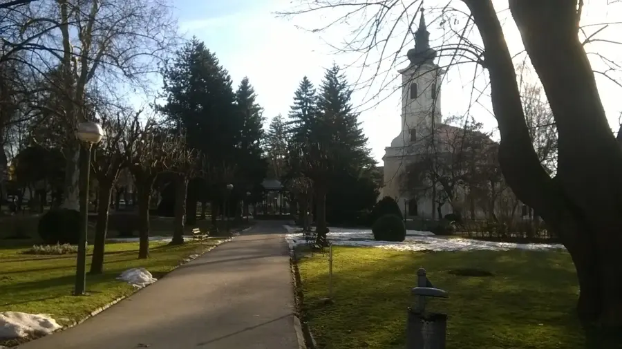
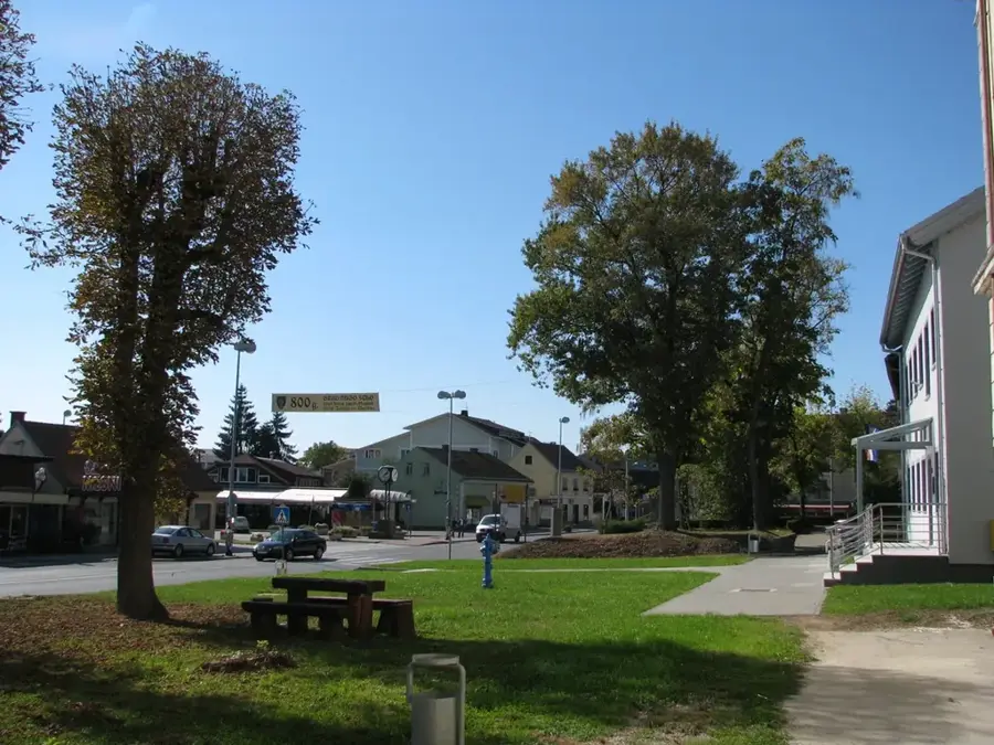
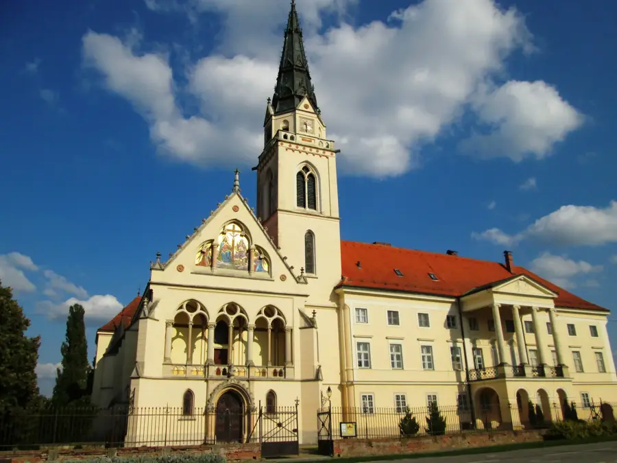
Sights in the town Ivanščica (9)
Židovina🏰 castle
Ruins of a medieval castle in the Ivanščica mountain range.
Belecgrad🏰 castle
Ruins of a medieval fortress near Belec, at the foot of Ivanščica.
Vidikovac "Sova"
Viewpoint on Ivanščica, named after the owl, offering wide vistas.
Črna peć
Viewpoint with a cave or rock formation on Ivanščica.
Friščićev mlin
Historic watermill on a stream of Ivanščica, now in ruins.
Sights nearby
Frequently asked questions
Where is Ivanščica located?
How high is the highest peak?
Is there a lookout on the summit?
Is the mountain suitable for paragliding?
Are there places to eat?
Ivanščica: where is it located?
Ivanščica: what is there to see?
Ivanščica: when is the best time to visit?
Ivanščica: why is it worth visiting?

Nearby cities