Plizio Visual Lab
Kabarore

ℹ️Practical info — Kabarore
▾
🌤 Weather — 5 days
📍 Nearby
Sights nearby
💡 Tips
- As a rural town, it's best to visit early in the day when the local market is most active.
- Expect limited tourist infrastructure; bring cash in Burundian Francs as cards are rarely accepted.
- Public transport is scarce; hiring a local guide or driver from a larger city like Ngozi is advisable.
- Respect local customs by dressing modestly, especially when walking through residential areas.
🍽 Food
Try the staple cornmeal dish served with beans at small local eateries near the town center.
Burundi is famous for its bananas; buy them fresh from the local market vendors.
Enjoy a cup of locally grown tea at a roadside tea stall.
🛍 Shopping · 🧘 Quiet spots
The central market is the best place to find fresh upland produce and daily necessities.
Look for traditional woven baskets sold by local artisans around the community center.
Take a walk just outside the town limits for peaceful views of the rolling rural landscape.
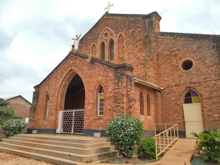
The local church often has a quiet, shaded courtyard suitable for a short rest.
Water temperature…
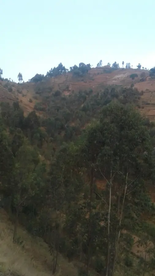
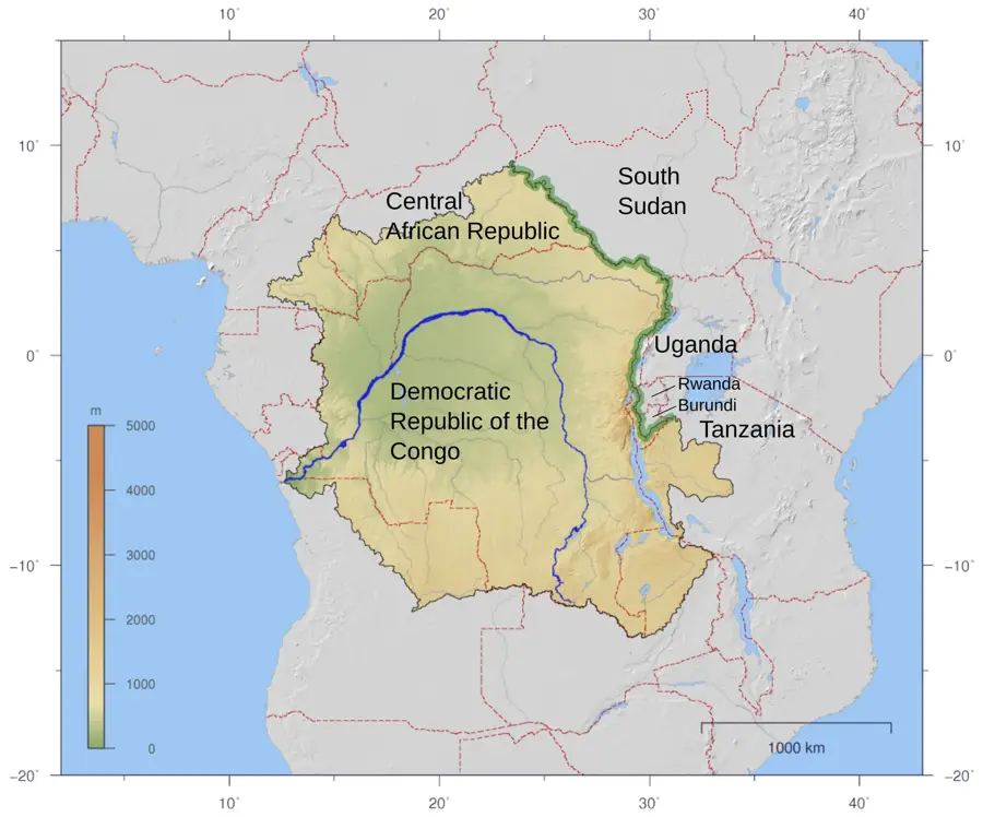
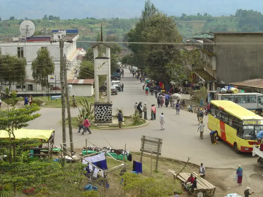
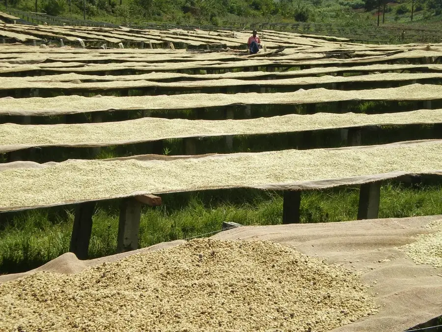
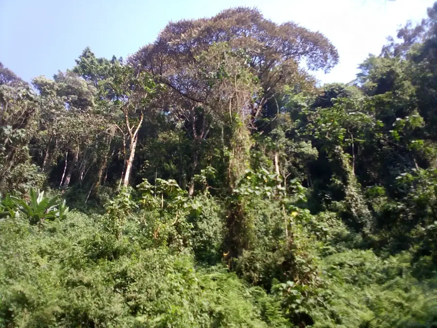
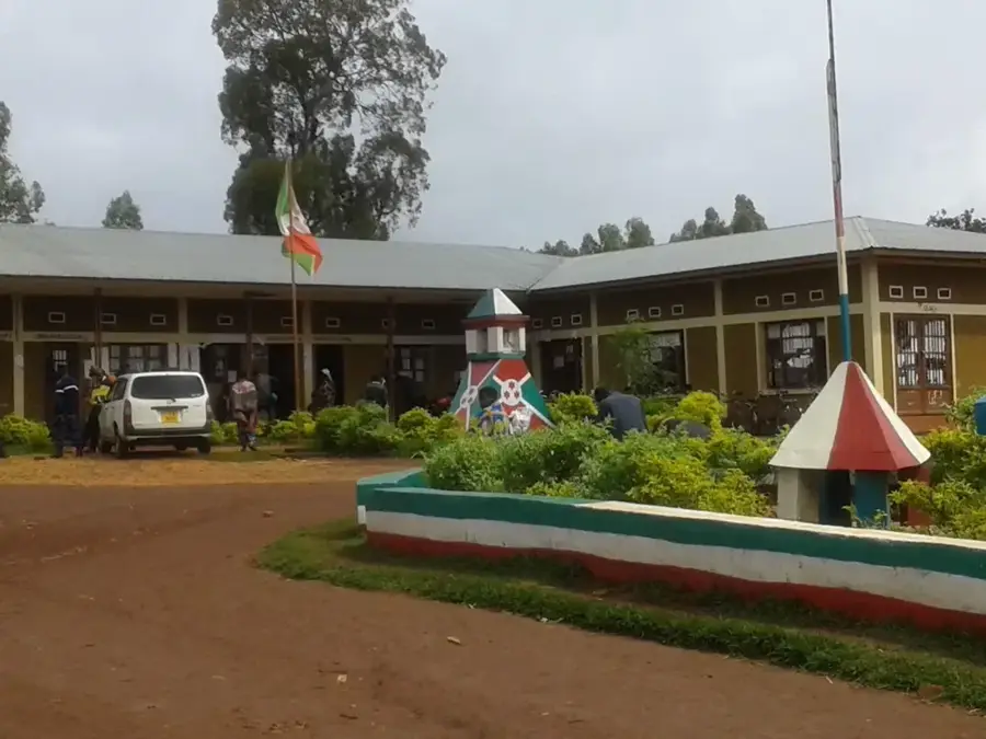
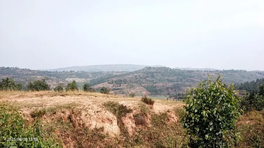
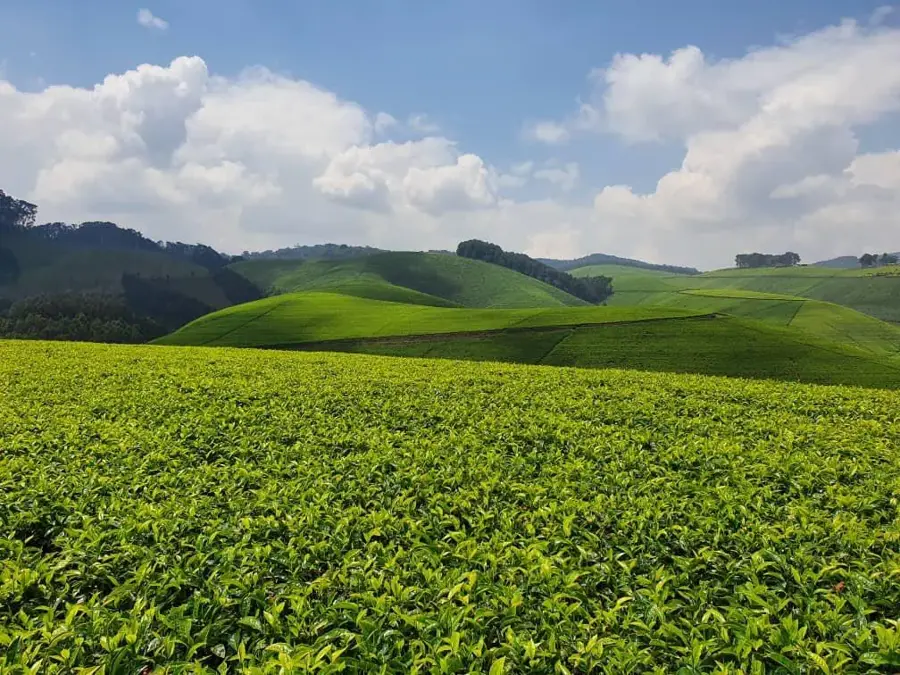
Kabarore is a significant town located in the northeastern part of Kayanza Province in Burundi, situated near the border with Rwanda. The town lies within an easy on the eye mountainous region characterized by steep slopes and lush green valleys, representing one of the most densely populated areas in the country. Historically, Kabarore was a strategic location along the trade routes connecting the northern territories with the central heartland of the Kingdom of Burundi. The local economy is heavily anchored in coffee production, with the region consistently producing some of the nation's finest beans, often earning international acclaim. In addition to coffee, subsistence crops like bananas, maize, and beans are widely cultivated, showcasing the traditional polyculture of the Burundian highlands. Over the last few decades, Kabarore has evolved into an important administrative and educational hub for the surrounding rural hills. The cool mountain air and fertile soil make this region a critical agricultural asset for the nation.
- Location: Burundi
- Nearby: Gashikanwa (4 km)
Best time to visit & climate
The most pleasant time to visit is Jul–Sep.
| Jan | Feb | Mar | Apr | May | Jun | Jul | Aug | Sep | Oct | Nov | Dec | |
|---|---|---|---|---|---|---|---|---|---|---|---|---|
| Avg °C | 20 | 20 | 20 | 19 | 19 | 18 | 18 | 20 | 21 | 21 | 20 | 20 |
| Rain mm | 145 | 120 | 169 | 168 | 78 | 23 | 13 | 30 | 56 | 114 | 230 | 159 |
Geography
Facts
- Located in the northern Kayanza Province at an elevation of approximately 1,850 meters.
- The area is famous for its award-winning coffee washing stations.
- Kabarore is positioned very close to the international border with Rwanda.
- Population density in the Kabarore commune is among the highest in Burundi.
- Annual rainfall typically ranges between 1,300 mm and 1,500 mm.
- Terraced farming is a key landscape feature used to manage the steep terrain.
Explore nearby
Notable places around
Route planner — Car & Motorhome
Where do you start? We build the route here, with stops and country notes along the way.
© OpenStreetMap contributors · OpenRouteService
Sights in the town Kabarore (1)
Frequently asked questions
Where is Kabarore located?
What is special about the region?
Are there border controls nearby?
What is the climate like in the north?
What currency is used?
Kabarore: where is it located?
Kabarore: when is the best time to visit?
Kabarore: why is it worth visiting?

Nearby cities


Nature
More places