Plizio Visual Lab
Mount Karonje

Weather…
Water temperature…
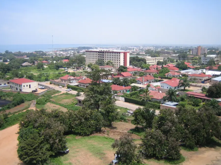
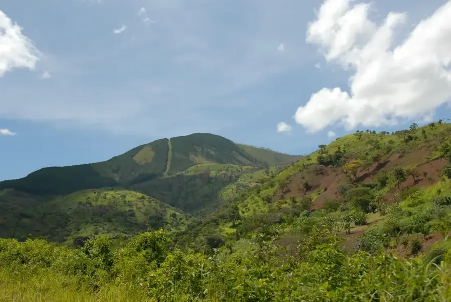
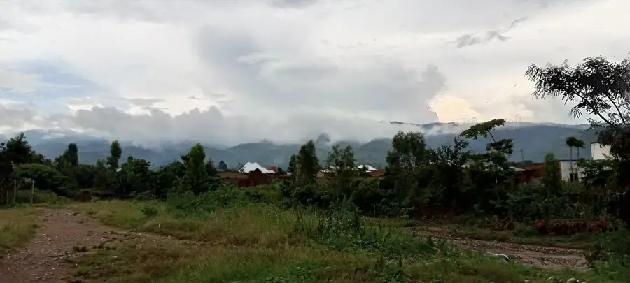
Mount Karonje is one of the highest peaks in Burundi, reaching an impressive elevation of approximately 2,670 meters. Located on the Congo-Nile divide, it marks a significant point on the country's central mountain ridge. Geographically, Karonje separates the waters flowing toward Lake Tanganyika from those feeding the Nile system. Its slopes are covered with dense montane forests and grasslands that host a variety of endemic plant species. Due to its significant height, the summit is frequently shrouded in clouds, leading to the formation of unique cloud forest ecosystems. Historically, Karonje served as a natural barrier and a strategic lookout point within the region. The cool temperatures and high humidity make the area handy for cultivating high-altitude crops such as tea and premium coffee varieties. Climbing to the summit is considered one of the most challenging yet rewarding hikes in the country. Mount Karonje stands as a central symbol of the alpine landscape of Central Africa.
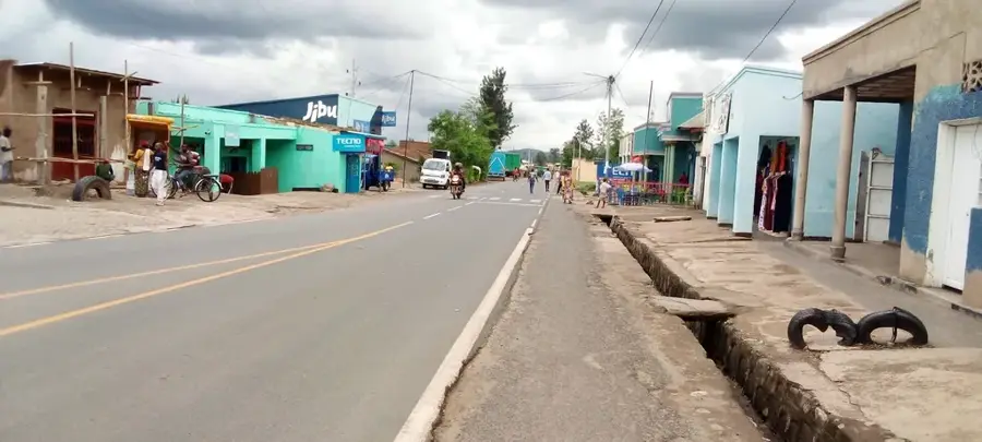
- Location: Burundi
- Nearby: Saga Beach (18 km)
Best time to visit & climate
The most pleasant time to visit is Jun–Aug.
| Jan | Feb | Mar | Apr | May | Jun | Jul | Aug | Sep | Oct | Nov | Dec | |
|---|---|---|---|---|---|---|---|---|---|---|---|---|
| Avg °C | 21 | 22 | 22 | 21 | 21 | 20 | 20 | 21 | 22 | 22 | 21 | 21 |
| Rain mm | 202 | 168 | 219 | 213 | 94 | 29 | 15 | 42 | 94 | 172 | 341 | 219 |
📋 Practical info
Geography
Facts
- Second highest mountain in Burundi
- Elevation of approx. 2,670 m
- Part of the Congo-Nile divide
- Significant cloud forest ecosystem
- Located in Bujumbura Rural Province
- Source of several mountain streams
Explore nearby
Notable places around
Route planner — Car & Motorhome
Where do you start? We build the route here, with stops and country notes along the way.
© OpenStreetMap contributors · OpenRouteService
Sights in the town Mount Karonje (1)
Sights nearby
Frequently asked questions
What is the significance of Karonje Mountain?
How high is Karonje?
Can you go birdwatching there?
How is the path to the summit?
When should you plan the climb?
Mount Karonje: where is it located?
Mount Karonje: when is the best time to visit?
Mount Karonje: why is it worth visiting?

Nearby cities
History & landmarks
Nature
More places