Plizio Visual Lab
Minago
ℹ️Practical info — Minago
▾
🌤 Weather — 5 days
📍 Nearby
Sights nearby
💡 Tips
- The RN3 highway passes right through; be cautious of fast-moving traffic.
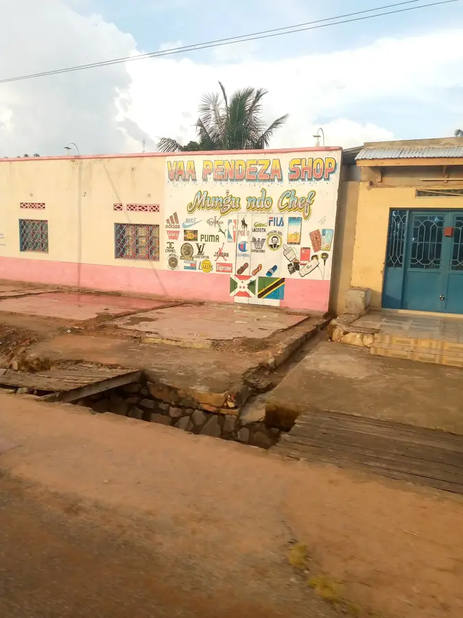
- It's an excellent pitstop for buying fresh fruit directly from farmers alongside the road.
- Keep small BIF denominations handy to quickly pay for roadside snacks through bus windows.
- While near the lake, the town itself is more agricultural, blending fishing and farming cultures.
🍽 Food
Small catches from nearby Lake Tanganyika, freshly fried at roadside stands.
A dense, energy-rich local staple found in the village center.
Extremely sweet and cheap, sold whole or sliced by highway vendors.
🛍 Shopping · 🧘 Quiet spots
The best place to buy bulk tropical fruits straight from the growers.
Sun-dried fish is heavily traded here; pungent but a local culinary essential.
Walk down from the main road towards the lake to find quiet, uncrowded fishing coves.
The paths leading inland towards the hills offer a quick escape from highway noise.
Water temperature…
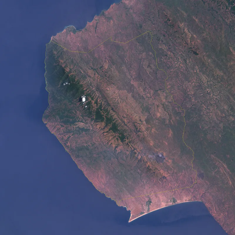
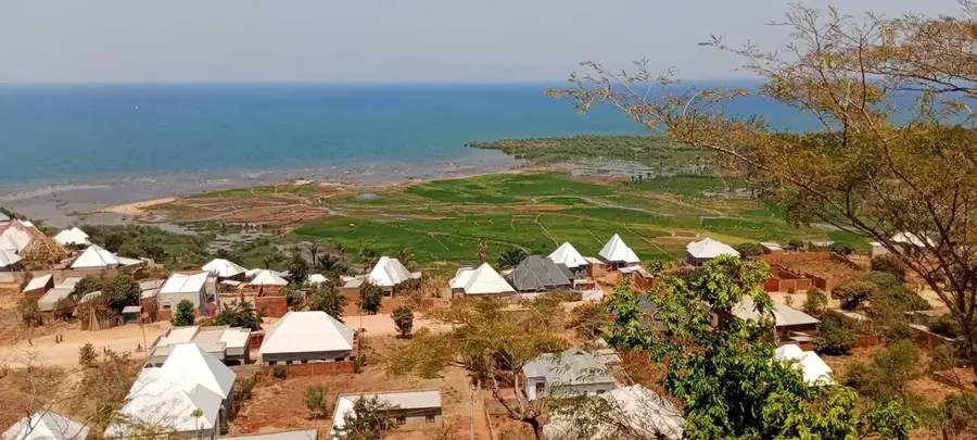
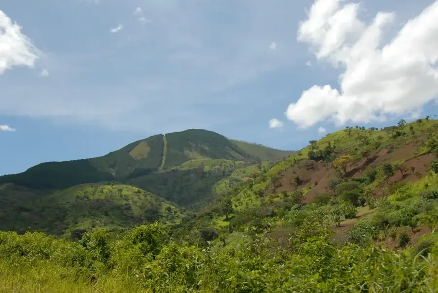
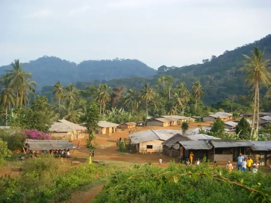
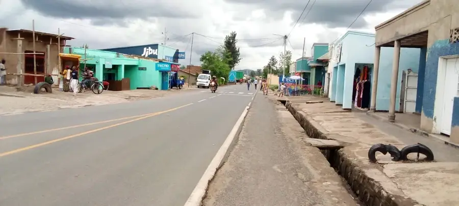
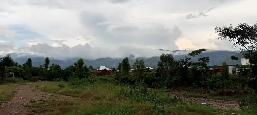
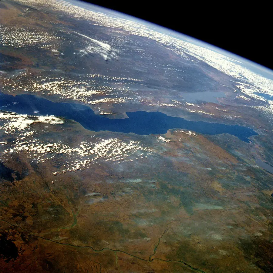
Minago is a coastal town in the Rumonge Province of southwestern Burundi, beautifully situated along the shores of Lake Tanganyika. Its geographic location, squeezed between the lake and the steeply rising mountains of the interior, gives it strategic importance for trade and logistics. Historically, the town's identity has been forged by the fishing industry, which continues to be a primary source of livelihood for its residents. The tropical climate is well-suited for oil palm plantations, which characterize the surrounding landscape and support a robust local palm oil industry. In recent years, Minago has grown in prominence due to the upgrading of the coastal road linking the capital, Bujumbura, with Rumonge. The local beaches attract visitors looking for a tranquil escape from the busier urban centers. The community is a dynamic mix of fishermen, traders, and farmers, contributing to the town's lively and productive atmosphere.
- Location: Burundi
- Nearby: Rumonge (19 km)
Best time to visit & climate
The most pleasant time to visit is Jun–Aug.
| Jan | Feb | Mar | Apr | May | Jun | Jul | Aug | Sep | Oct | Nov | Dec | |
|---|---|---|---|---|---|---|---|---|---|---|---|---|
| Avg °C | 23 | 24 | 23 | 23 | 23 | 23 | 23 | 24 | 25 | 25 | 23 | 23 |
| Rain mm | 203 | 168 | 209 | 214 | 92 | 20 | 10 | 28 | 74 | 143 | 288 | 204 |
Geography
Facts
- Minago is situated directly on the eastern shore of Lake Tanganyika.
- The town is part of Rumonge Province, which was officially created in 2015.
- Palm oil is a major economic driver for the region, alongside the fishing sector.
- National Highway 3 passes through Minago, linking it to the former capital, Bujumbura.
- Local fishing is predominantly done using traditional pirogues and catamarans.
- The surrounding area contains significant archaeological sites dating to the Iron Age.
Explore nearby
Notable places around
Route planner — Car & Motorhome
Where do you start? We build the route here, with stops and country notes along the way.
© OpenStreetMap contributors · OpenRouteService
Frequently asked questions
What characterizes Minago?
Are there beaches there?
What can you learn about palm oil production?
What is the atmosphere like in Minago?
Is it easy to get there from Bujumbura?
Minago: where is it located?
Minago: when is the best time to visit?
Minago: why is it worth visiting?

Nearby cities


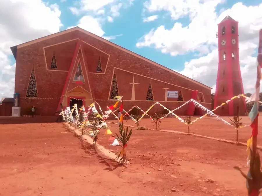
History & landmarks
Nature
More places