Plizio Visual Lab
Uvira
ℹ️Practical info — Uvira
▾
🌤 Weather — 5 days
📍 Nearby
Sights nearby
💡 Tips
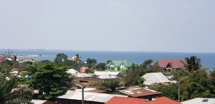
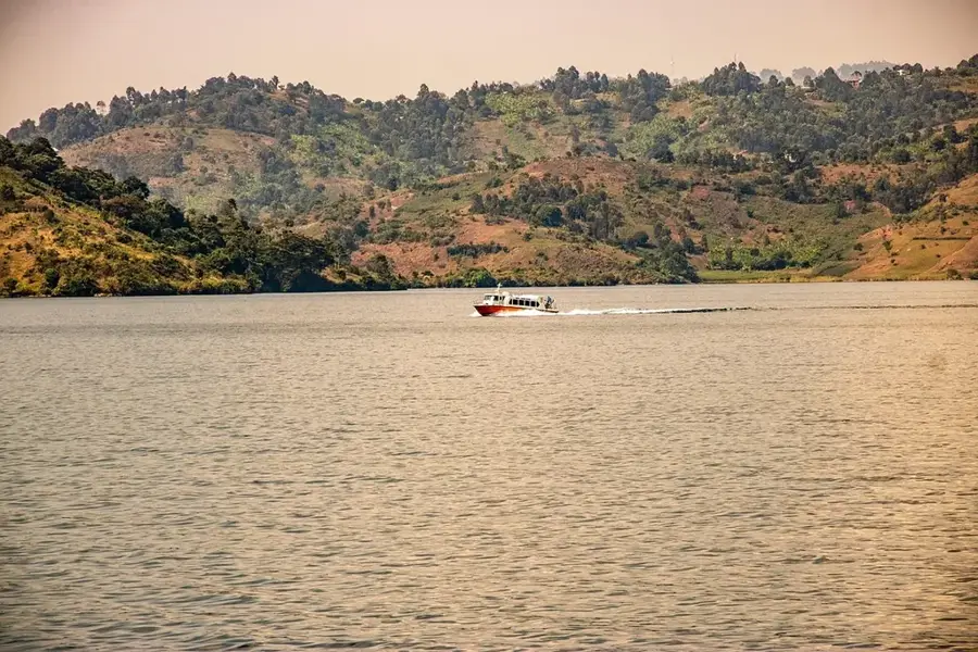
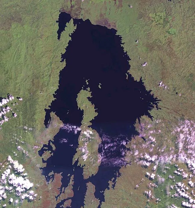
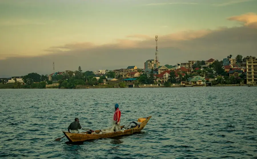
- The views of Lake Tanganyika are impressive; try to visit a viewpoint in the early morning for the best light.
- Be mindful of border crossing times and traffic if you are planning a trip to nearby Burundi.
- The weather can be very hot. Take advantage of the lake breeze, but only swim in designated safe areas.
- Traffic on the main road can be chaotic, especially near the large market. It is better to walk in this area.
🍽 Food
Small, fried fish from Lake Tanganyika, often served as a snack or in a sauce.
A tasty local fish that you should try in the restaurants near the lake shore.
The fruits grown in the region are particularly sweet and are sold at the local markets.
🛍 Shopping · 🧘 Quiet spots
The well-suited place to find colorful Congolese pagne fabrics and cross-border goods.
Go early in the morning to watch the fresh catch from the lake being landed and sold.
A quiet walk along the lakeshore gives relaxation and beautiful views of the mountains opposite.
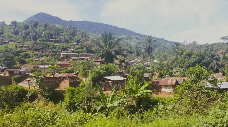
A short climb into the hills features a peaceful panoramic view over the town and the lake.
Water temperature…
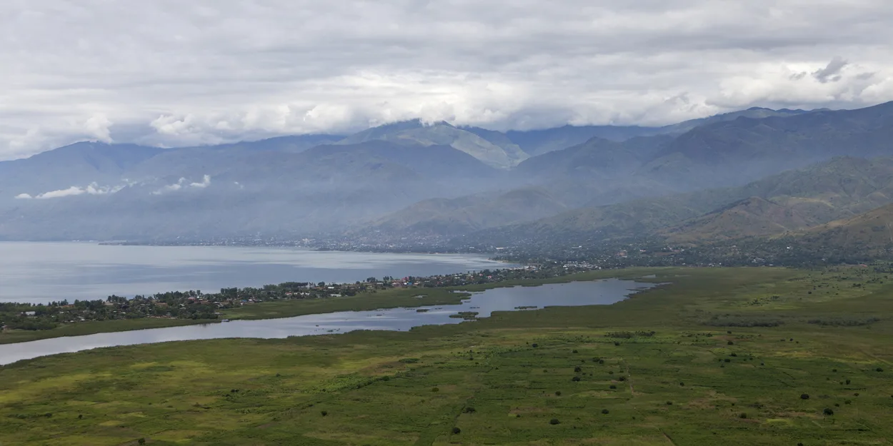
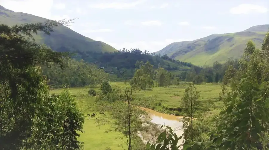
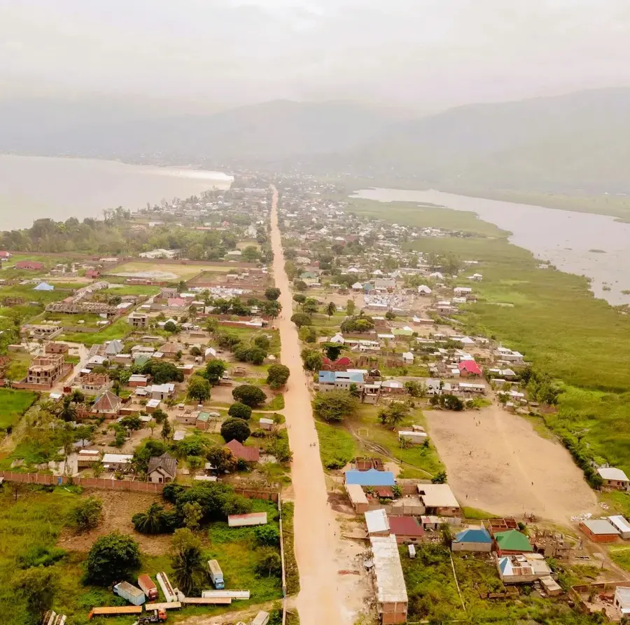
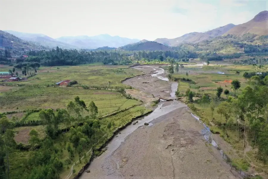
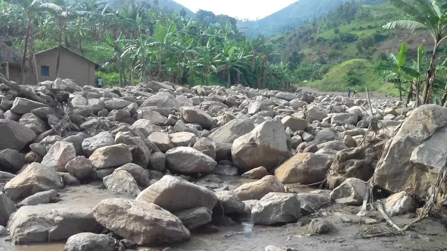
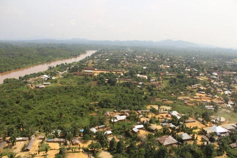
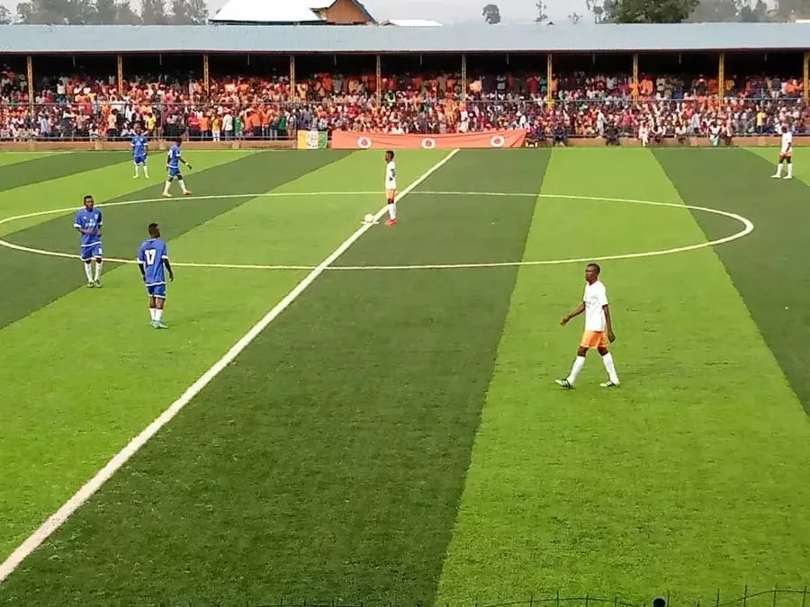
Uvira is a strategically vital city in the South Kivu Province in the eastern Democratic Republic of the Congo, situated at the northernmost tip of Lake Tanganyika. The city stretches along a narrow coastal strip between the lake and the steeply rising Mitumba Mountains. Uvira is primarily recognized for its Port of Kalundu, the country's second most important inland port after Matadi, which plays a pivotal role in international trade with Burundi, Tanzania, and Zambia. Its proximity to the Burundian capital, Bujumbura, makes the city a bustling marketplace and a key hub for cross-border traffic. Geographically, Uvira lies at the entrance to the fertile Ruzizi Plain, an area of intensive agricultural activity. The local economy is driven by the transportation sector, fishing, and agricultural commerce, while the city also functions as the administrative center for the Uvira Territory. Despite a challenging security environment over past decades, Uvira remains a major draw for people from throughout the region. The city provides dramatic vistas of Lake Tanganyika and serves as a cultural melting pot for various ethnic communities.
- Location: Congo - Kinshasa
- Nearby: Baraka (68 km)
- Population: ~407.092 (2023)
Best time to visit & climate
The most pleasant time to visit is Jun–Aug.
| Jan | Feb | Mar | Apr | May | Jun | Jul | Aug | Sep | Oct | Nov | Dec | |
|---|---|---|---|---|---|---|---|---|---|---|---|---|
| Avg °C | 16 | 16 | 16 | 16 | 15 | 14 | 13 | 15 | 16 | 16 | 16 | 16 |
| Rain mm | 194 | 164 | 216 | 214 | 94 | 29 | 15 | 42 | 98 | 173 | 338 | 210 |
Geography
Facts
- Uvira is located approximately 120 kilometers south of the provincial capital, Bukavu.
- The Port of Kalundu connects the city to Kigoma and Mpulungu via Lake Tanganyika.
- The city is situated only a few kilometers from the border with Burundi.
- The Mitumba Mountains near the city reach heights exceeding 2,000 meters.
- In the 1990s, Uvira was a significant location during the start of the First Congo War.
- The Ruzizi Plain is renowned for its production of sugarcane and cotton.
Explore nearby
Notable places around
Route planner — Car & Motorhome
Where do you start? We build the route here, with stops and country notes along the way.
© OpenStreetMap contributors · OpenRouteService
Frequently asked questions
Where exactly is Uvira located?
What is the economic base of Uvira?
Can you enter Burundi from here?
What is the terrain like?
Are there beaches there?
Uvira: where is it located?
Uvira: when is the best time to visit?
Uvira: why is it worth visiting?

Nearby cities
History & landmarks
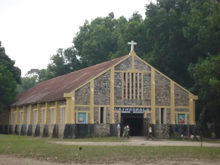
More places