Plizio Visual Lab
Mount Manga

Weather…
Water temperature…
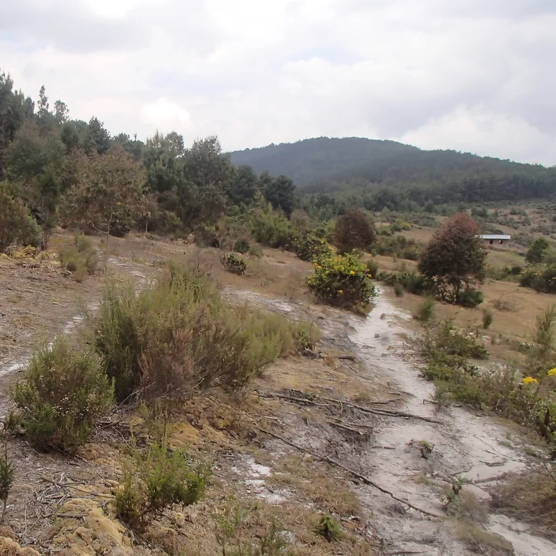
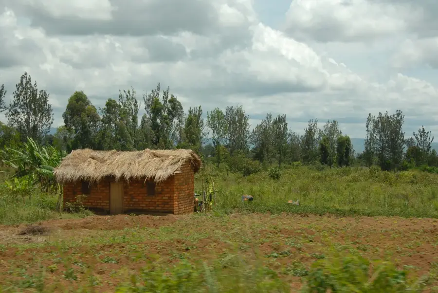
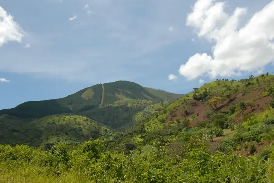
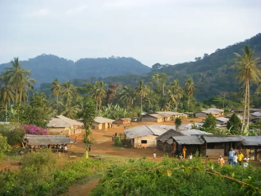
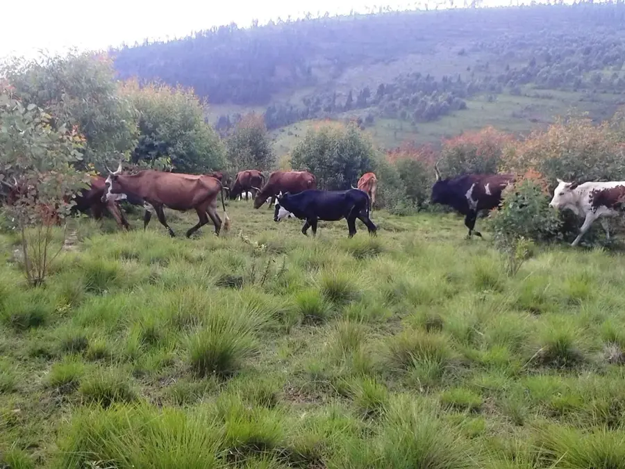
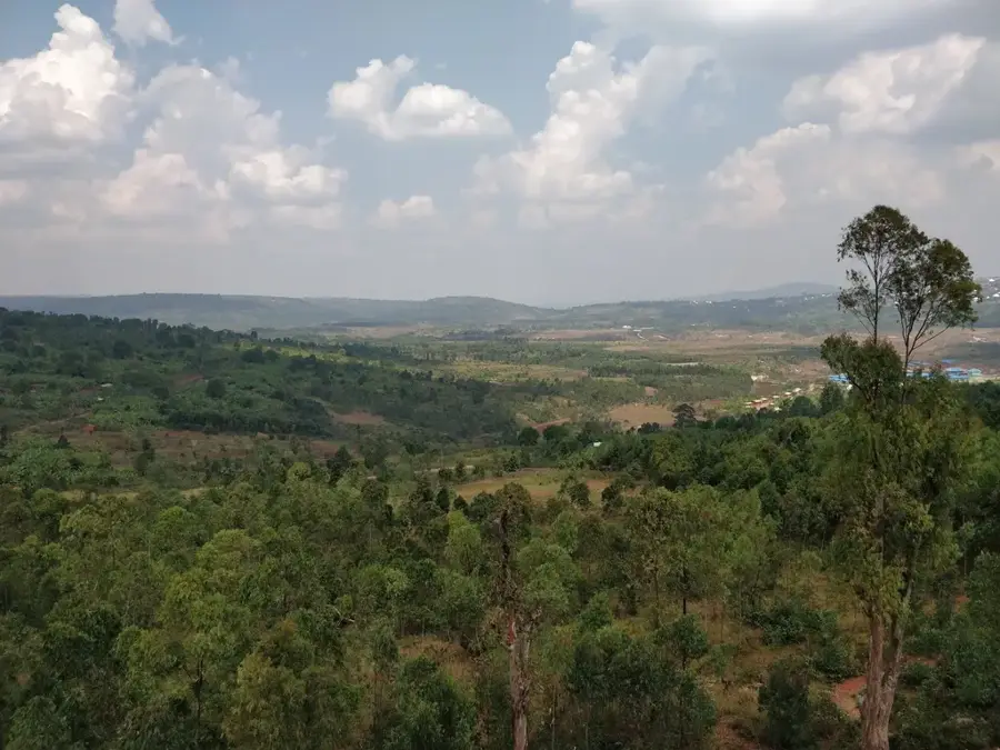
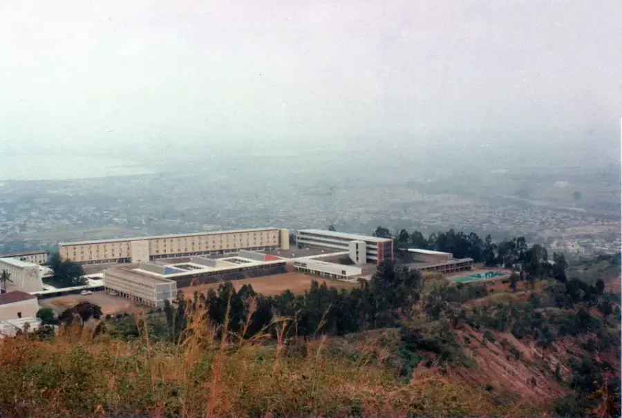
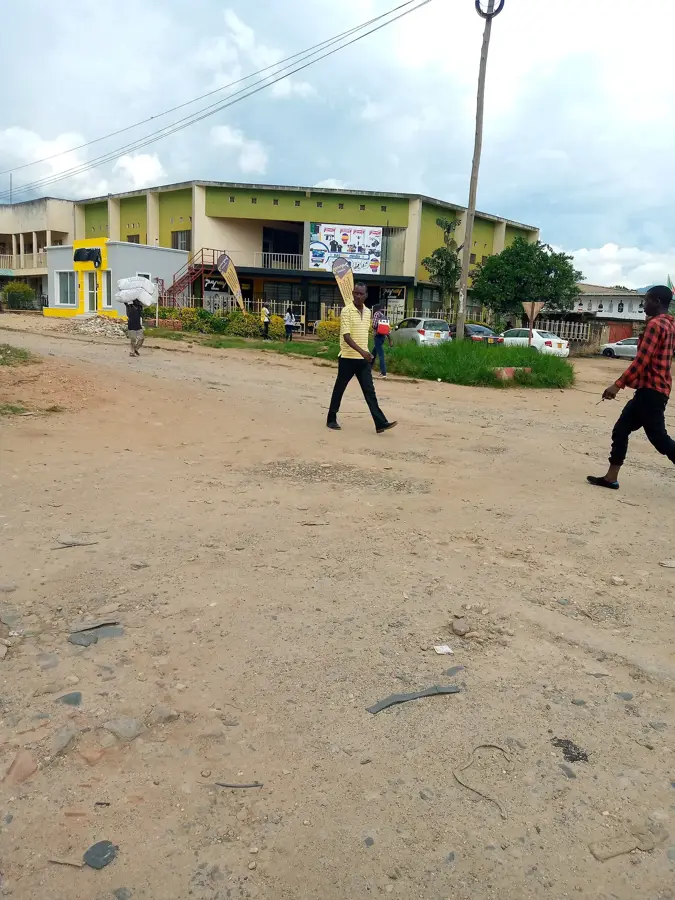
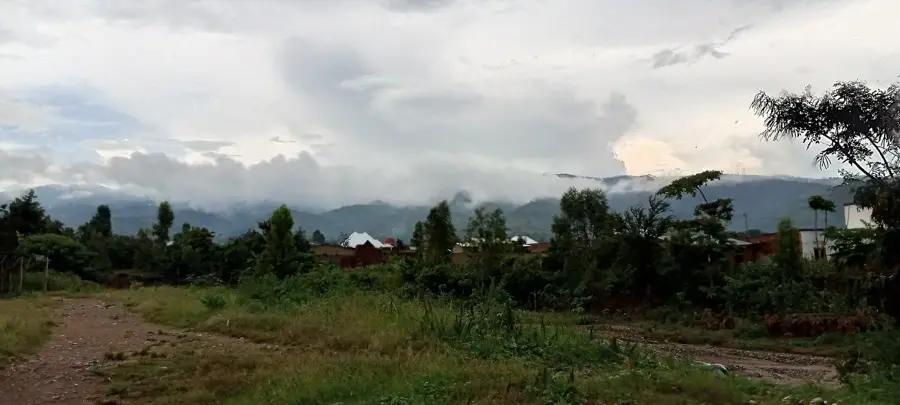
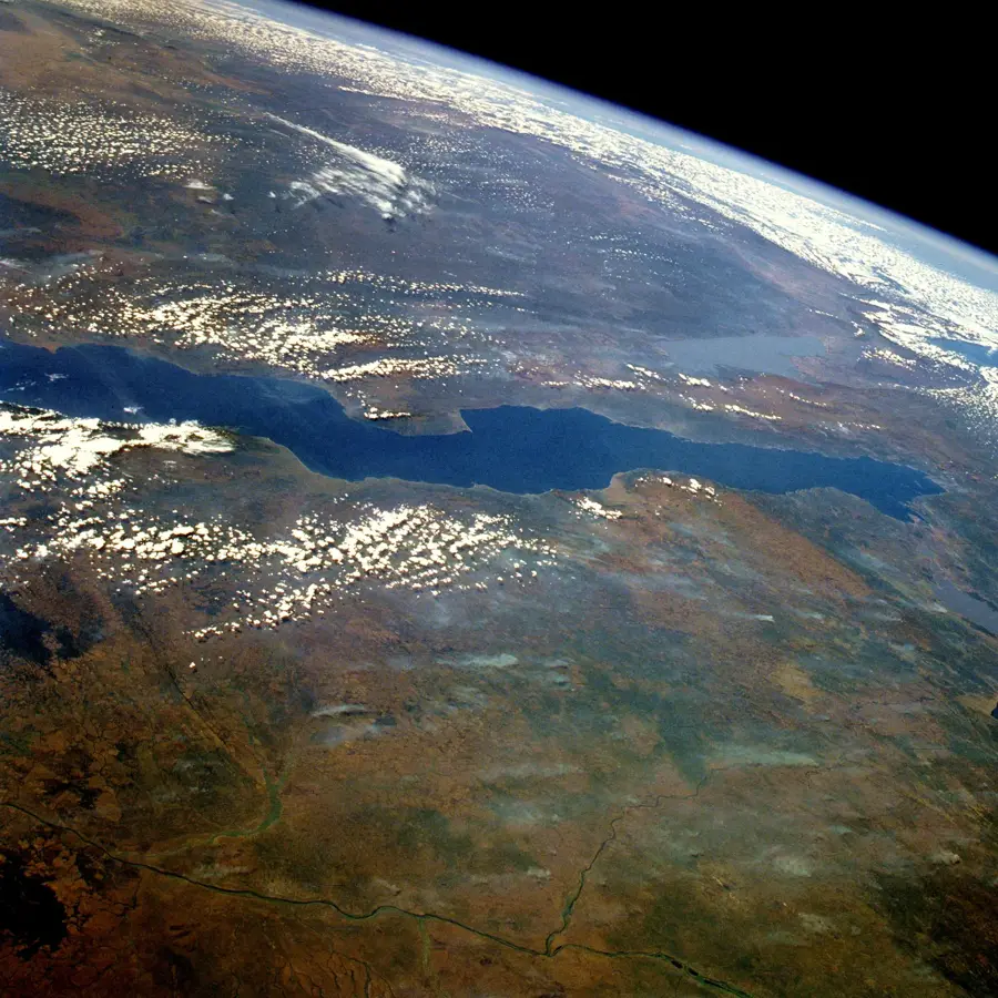
Mount Manga is a prominent elevation south of the capital Bujumbura and part of the mountainous relief overlooking Lake Tanganyika. It reaches an altitude of over 2,400 meters and is known for its distinctive profile, which often serves as a landmark for the region. The slopes of Manga are characterized by a mix of eucalyptus plantations, traditional farmlands, and remaining forest patches. Geographically, the mountain belongs to the mountain system of the Western Rift and plays an important role in capturing rainfall that supplies water to the lower regions. The flora includes a variety of highland plants, while the fauna hosts birds and small mammals adapted to the steep terrain. The summit features one of the best panoramic views of Bujumbura and the expansive Lake Tanganyika, making it a popular destination for hikers and nature lovers. Despite its proximity to the city, Mount Manga has preserved much of its natural character. In recent years, programs have been initiated to promote the reforestation of the slopes and to improve the protection of the water catchment area.
- Location: Burundi
- Nearby: Mugamba (11 km)
Best time to visit & climate
The most pleasant time to visit is Jun–Aug.
| Jan | Feb | Mar | Apr | May | Jun | Jul | Aug | Sep | Oct | Nov | Dec | |
|---|---|---|---|---|---|---|---|---|---|---|---|---|
| Avg °C | 21 | 22 | 22 | 21 | 21 | 20 | 20 | 21 | 22 | 22 | 21 | 21 |
| Rain mm | 202 | 168 | 219 | 213 | 94 | 29 | 15 | 42 | 94 | 172 | 341 | 219 |
📋 Practical info
Geography
Facts
- The mountain reaches an elevation of approximately 2,400 meters.
- It is located very close to Burundi's capital city, Bujumbura.
- The summit provides a panoramic view of the entire Lake Tanganyika.
- Eucalyptus plantations are a dominant feature on its slopes today.
- Manga belongs to the mountain range bordering the East African Rift.
- It serves as a critical water catchment area for urban districts.
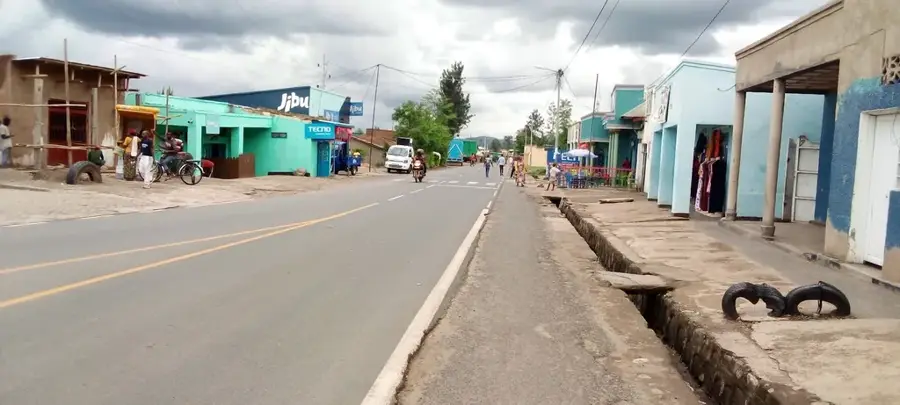
Explore nearby
Notable places around
Route planner — Car & Motorhome
Where do you start? We build the route here, with stops and country notes along the way.
© OpenStreetMap contributors · OpenRouteService
Sights nearby
Frequently asked questions
What view does Mount Manga offer?
Are there special cultural sites at Manga?
How difficult is a hike up Manga?
What should I plan for the trip?
When is the visibility clearest?
Mount Manga: where is it located?
Mount Manga: when is the best time to visit?
Mount Manga: why is it worth visiting?

Nearby cities
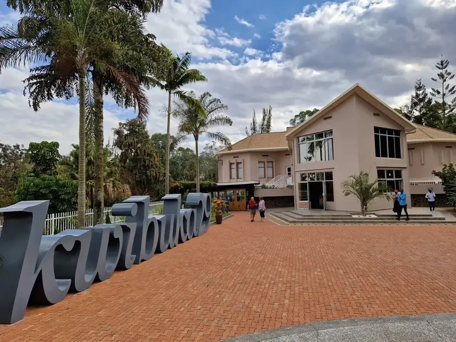
History & landmarks
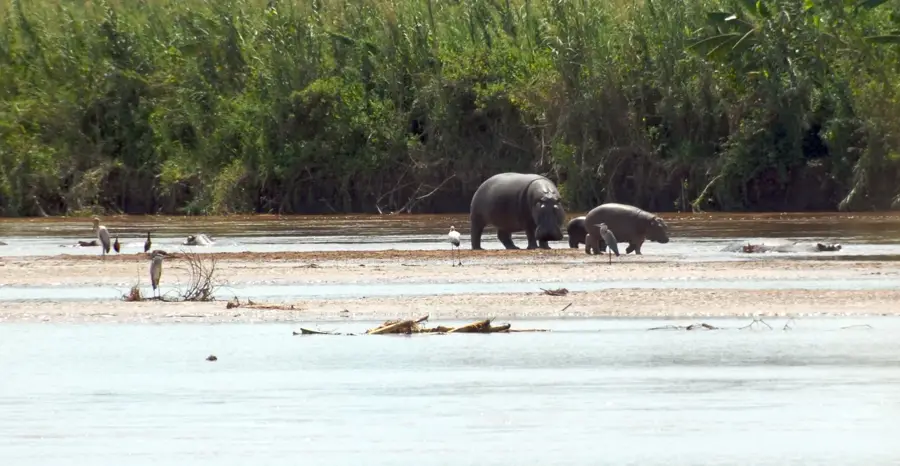
Nature
More places