Plizio Visual Lab
Mount Heha
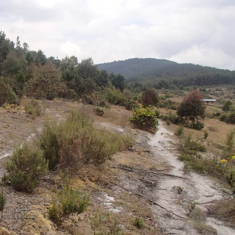
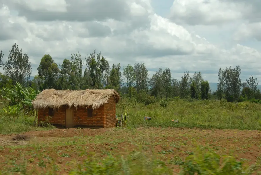
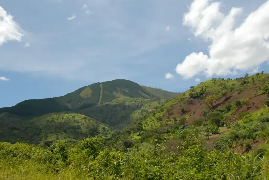
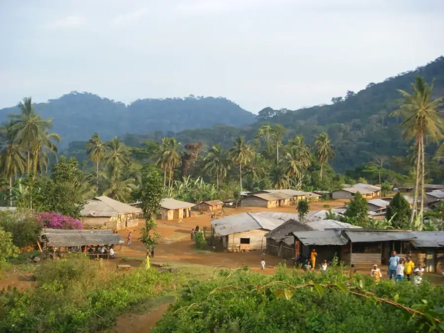
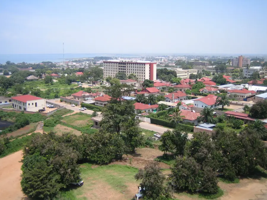
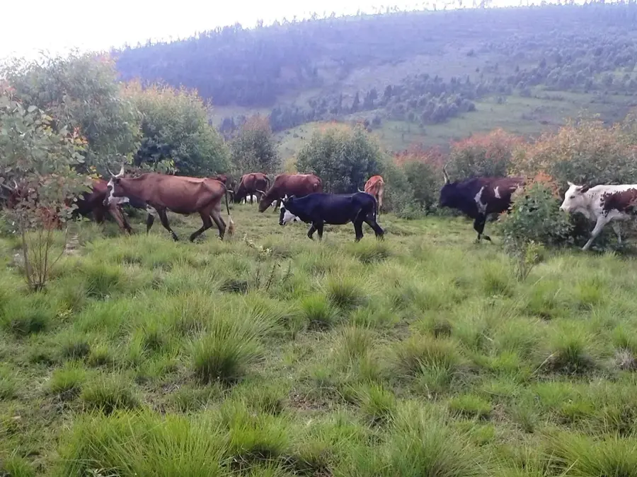
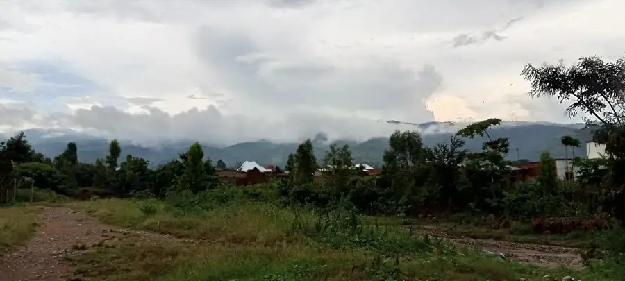
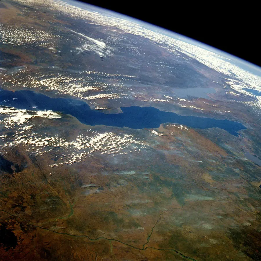
Mount Heha, rising to an elevation of 2,684 meters, is the highest peak in Burundi and a prominent part of the mountain range that forms the Congo-Nile watershed divide. Located in the Bujumbura Rural province, approximately 20 kilometers east of Lake Tanganyika, the mountain is a central geographical landmark of the country. The landscape surrounding Mount Heha features rolling hills that transition into afro-alpine grasslands and remnants of montane cloud forests at higher altitudes. Historically, the mountain slopes have been home to local pastoralist communities, while today it is a growing destination for hikers seeking panoramic views of the Central Plateau and the distant mountains across the Congolese border. Due to the fertile volcanic soils found on its slopes, agriculture is practiced at significant heights, with coffee and tea plantations being common. The climate at the summit is temperate and often misty, providing a sharp contrast to the humid tropical heat of the Tanganyika basin. Protecting the vegetation on these steep slopes is critical for preventing soil erosion and maintaining the water cycle for the surrounding valleys.
- Location: Burundi
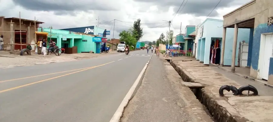
- Nearby: Mugamba (8 km)
Best time to visit & climate
The most pleasant time to visit is Jun–Aug.
| Jan | Feb | Mar | Apr | May | Jun | Jul | Aug | Sep | Oct | Nov | Dec | |
|---|---|---|---|---|---|---|---|---|---|---|---|---|
| Avg °C | 21 | 22 | 22 | 21 | 21 | 20 | 20 | 21 | 22 | 22 | 21 | 21 |
| Rain mm | 202 | 168 | 219 | 213 | 94 | 29 | 15 | 42 | 94 | 172 | 341 | 219 |
📋 Practical info
Geography
Facts
- The official elevation of the summit is 2,684 meters above sea level.
- It is part of the western highlands overlooking the Rift Valley.
- The peak is situated roughly 20 kilometers from the city of Bujumbura.
- Average temperatures at the top are significantly cooler than at lake level.
- The mountain's slopes are famous for their high-altitude tea estates.
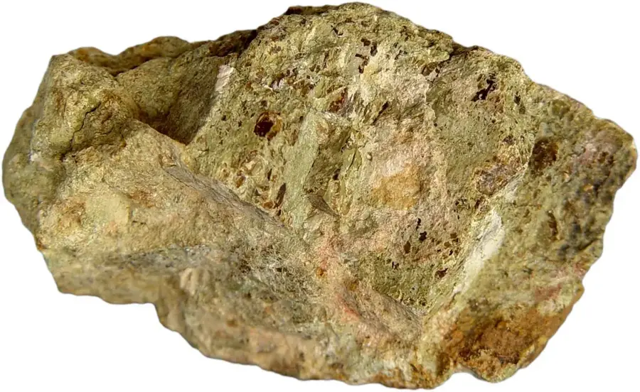
- Geologically, the massif is composed primarily of ancient volcanic rock.
Explore nearby
Notable places around
Route planner — Car & Motorhome
Where do you start? We build the route here, with stops and country notes along the way.
© OpenStreetMap contributors · OpenRouteService
Sights in the town Mount Heha (1)
Sights nearby
Frequently asked questions
How high is Mount Heha?
Is the climb difficult?
When should you climb Mount Heha?
What do I need to bring for the hike?
Where does the hike start?
Mount Heha: where is it located?
Mount Heha: when is the best time to visit?
Mount Heha: why is it worth visiting?

Nearby cities
History & landmarks
Nature
More places