Plizio Visual Lab
Mugamba
ℹ️Practical info — Mugamba
▾
🌤 Weather — 5 days
📍 Nearby
Sights nearby
💡 Tips
- Prepare for the coldest climate in Burundi. A good jacket is essential here, especially in the morning.
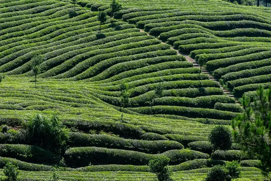
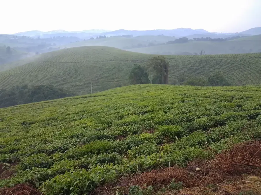
- The town is known for its tea production; try to visit one of the local plantations.
- Due to the altitude and rain, unpaved roads can become very muddy. Plan for extra driving time.
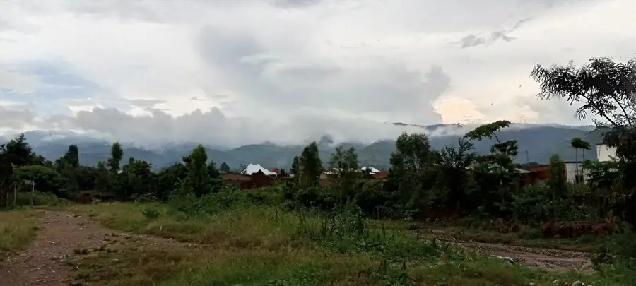
- Watching the mist roll over the hills in the early morning is a special experience.
🍽 Food
Drink it piping hot in a small street cafe to warm up.
A warming, energy-rich snack often sold by roaming vendors.
Restaurants on the main street often offer hearty soups to combat the cold.
🛍 Shopping · 🧘 Quiet spots
Buy locally produced tea as a souvenir directly in the shops in the center.
The market often has a selection of second-hand winter jackets available.
A walk through the geometrically laid out, lush green tea fields is extremely calming.
Climb up a bit to overlook the mist-shrouded valleys of the Mugamba region.
Water temperature…
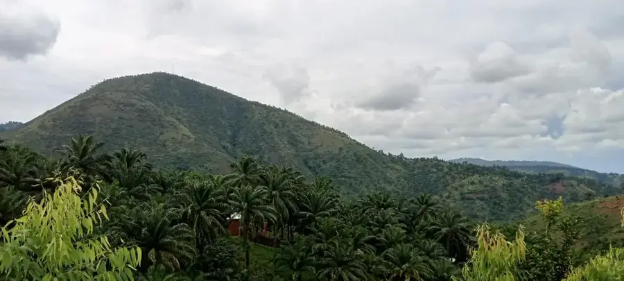
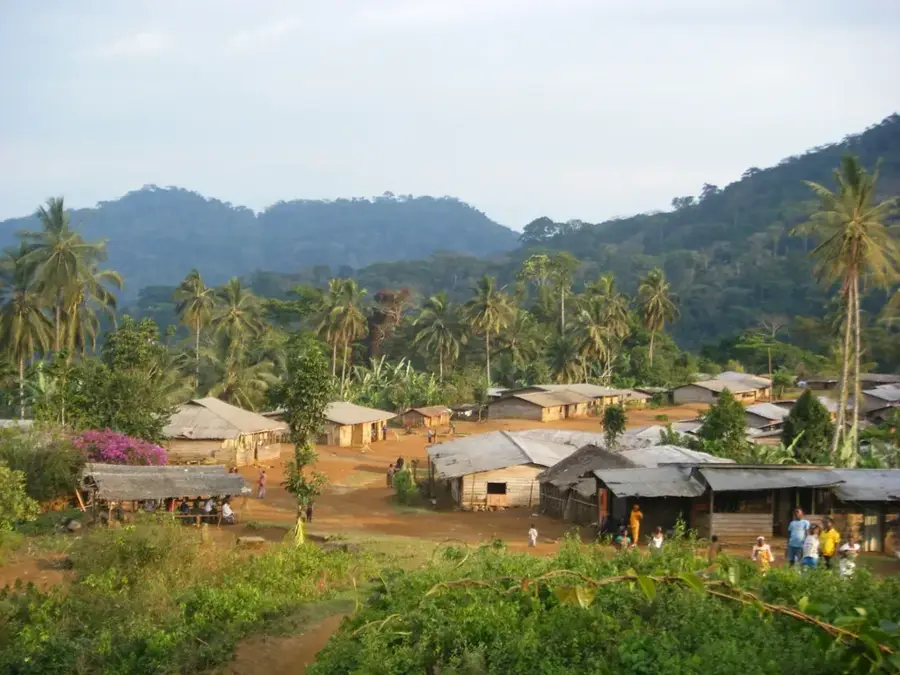
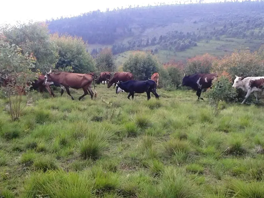
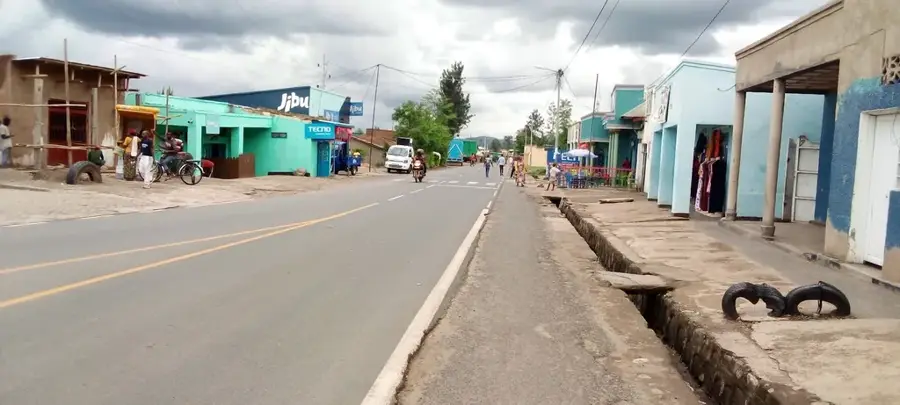
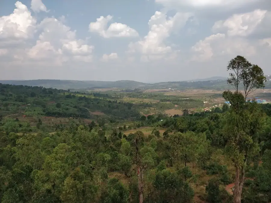
Mugamba is a commune in the Bururi Province, situated atop the Congo-Nile divide ridge in western Burundi. This region is famous for its extreme altitudes and its harsh yet healthy mountain climate, often compared to Switzerland by locals and visitors. The landscape is dominated by vast grasslands and eucalyptus forests, which are handy for large-scale livestock farming. Mugamba stands as one of the nation's premier producers of milk and dairy products, with the pastoral tradition of cattle rearing deeply embedded in the local way of life. Historically, the region played a strategic role in territorial defense due to its difficult mountain passes. The town serves as the administrative hub for the commune and hosts markets where, alongside dairy, potatoes and wheat are primary trade goods. The infrastructure is defined by winding mountain roads that offer wide-open vistas of the plains below. Mugamba remains a symbol of Burundian highland culture and its enduring resilience against environmental challenges.
- Location: Burundi
- Nearby: Bisoro (12 km)
Best time to visit & climate
The most pleasant time to visit is Jun–Aug.
| Jan | Feb | Mar | Apr | May | Jun | Jul | Aug | Sep | Oct | Nov | Dec | |
|---|---|---|---|---|---|---|---|---|---|---|---|---|
| Avg °C | 21 | 22 | 22 | 21 | 21 | 20 | 20 | 21 | 22 | 22 | 21 | 21 |
| Rain mm | 202 | 168 | 219 | 213 | 94 | 29 | 15 | 42 | 94 | 172 | 341 | 219 |
Geography
Facts
- Located directly on the Congo-Nile drainage divide.
- Often referred to as the 'Switzerland of Burundi'.
- Primary center for national milk and dairy production.
- Average elevation sits at approximately 2,300 meters.
- Key cultivation site for wheat and highland potatoes.
- Famous for its wide, treeless high-altitude plateaus.
Explore nearby
Notable places around
Route planner — Car & Motorhome
Where do you start? We build the route here, with stops and country notes along the way.
© OpenStreetMap contributors · OpenRouteService
Frequently asked questions
What is Mugamba known for?
Can you visit the tea plantations?
What clothing is recommended?
Are there local markets?
How safe are the roads?
Mugamba: where is it located?
Mugamba: when is the best time to visit?
Mugamba: why is it worth visiting?

Nearby cities


History & landmarks

Nature
More places